Elevation of Douglass, TX, USA
Location: United States > Texas > Nacogdoches County >
Longitude: -94.880769
Latitude: 31.6679551
Elevation: 107m / 351feet
Barometric Pressure: 100KPa
Elevation Map:
Satellite Map:
Related Photos:
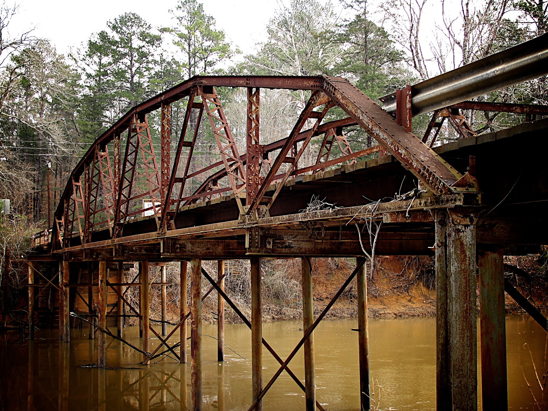
Goodman Bridge 2010
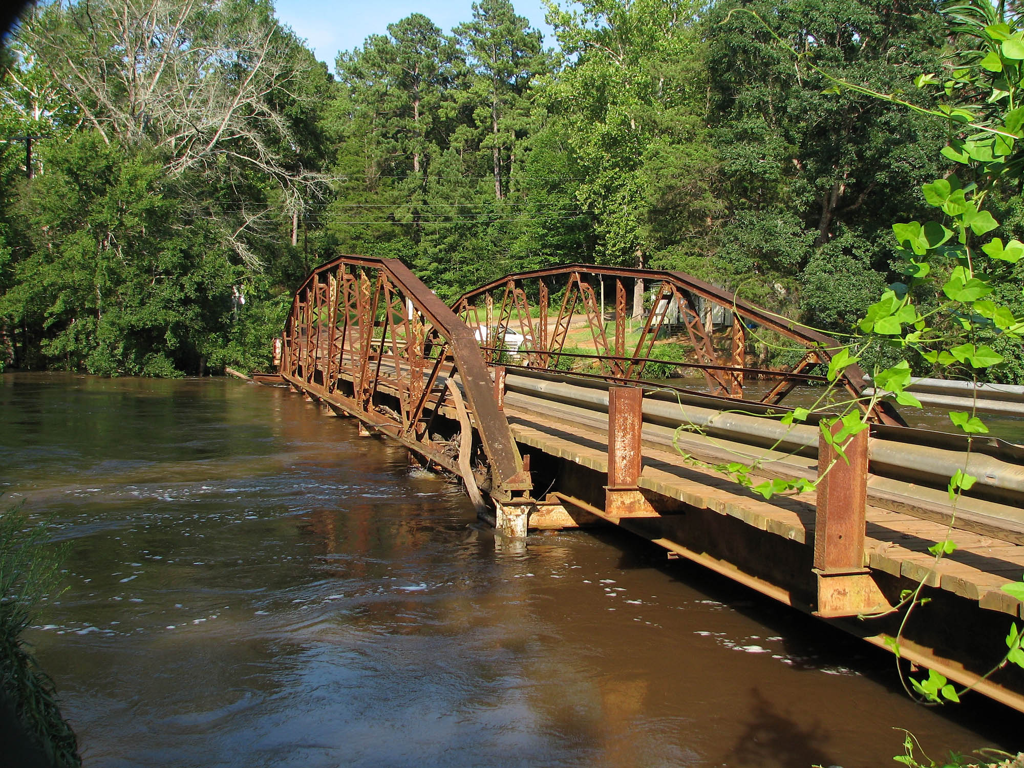
Goodman Bridge from the northwest

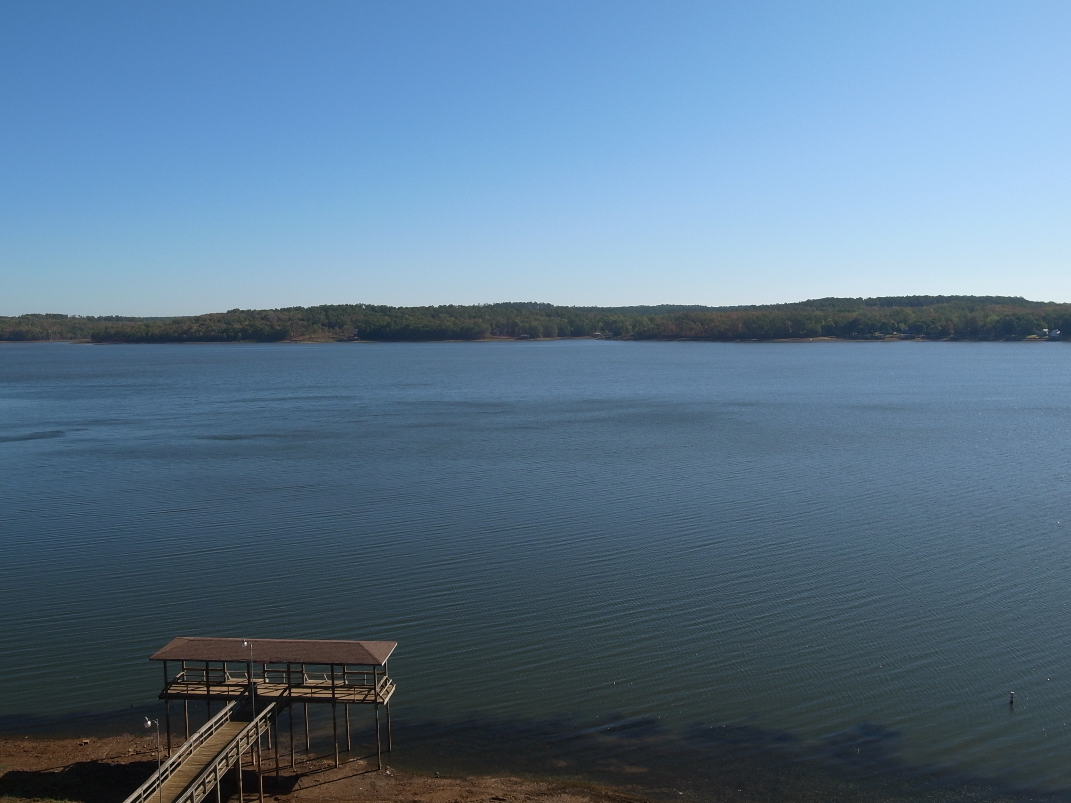
September Sunnset At Lake Nacogdoches

Sunset on the Lake
Good Morning Angelina

It's Tme to end another one

At Sunset 'Lake Nacogdoches'
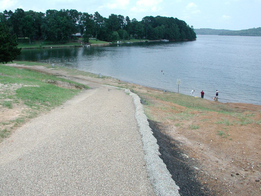
Nacogdoches Lake - Texas Drought
Nacogdoches Lake - Texas Drought
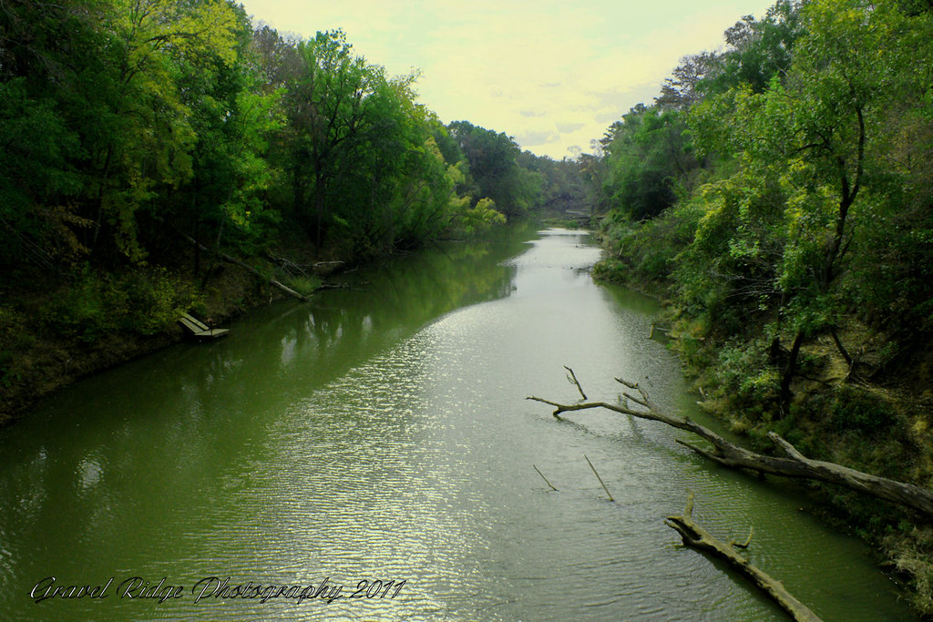
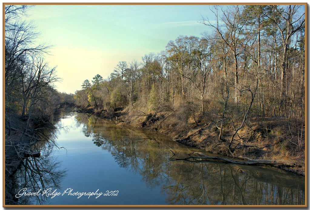
Down the Angelina
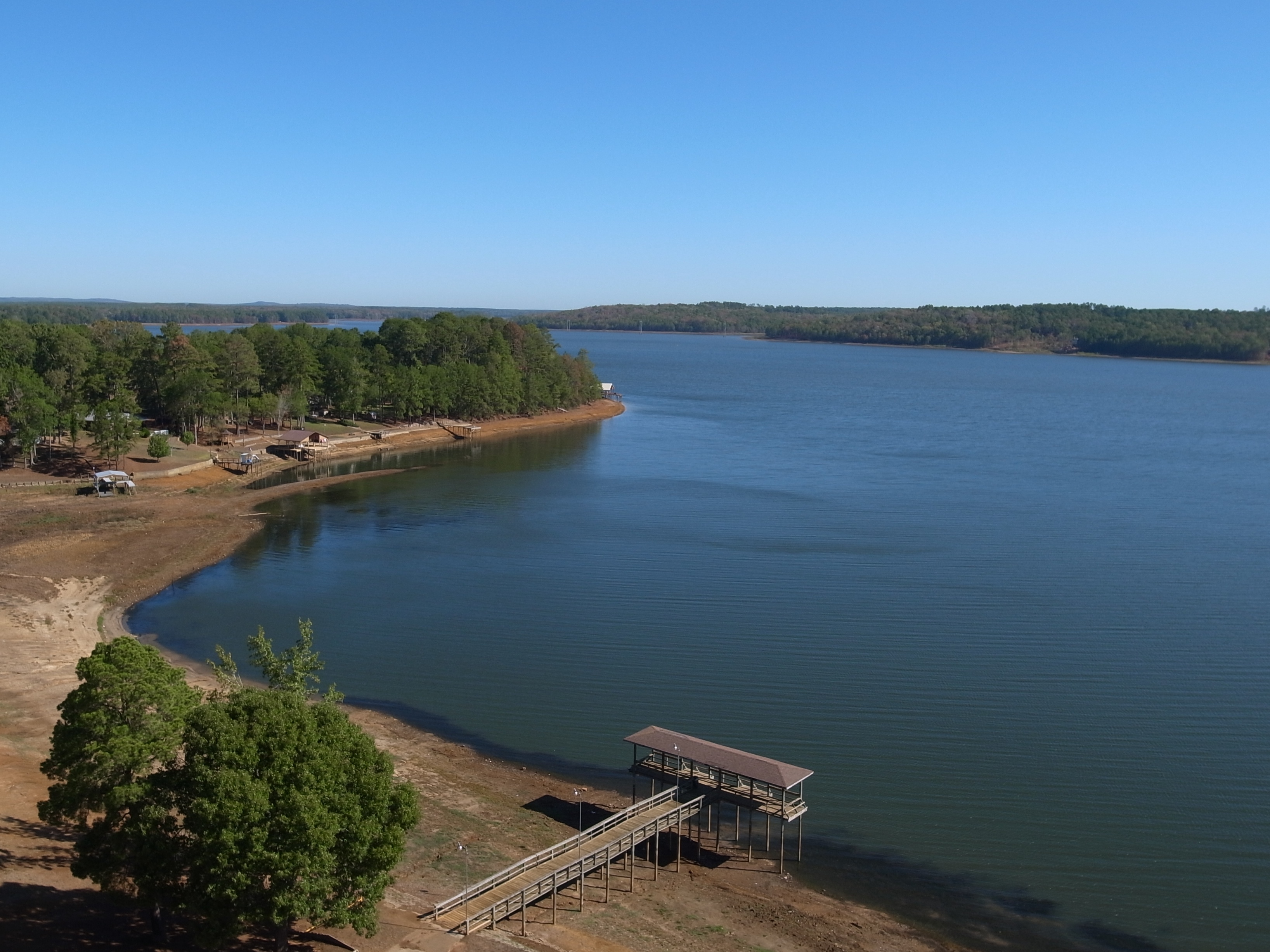
Nacogdoches Lake
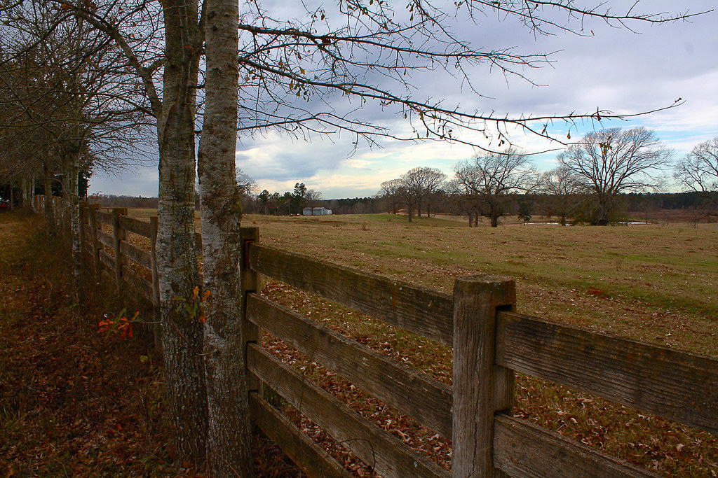
Farm in Looneyville, Texas
Old House Latest 2008
Topographic Map of Douglass, TX, USA
Find elevation by address:

Places near Douglass, TX, USA:
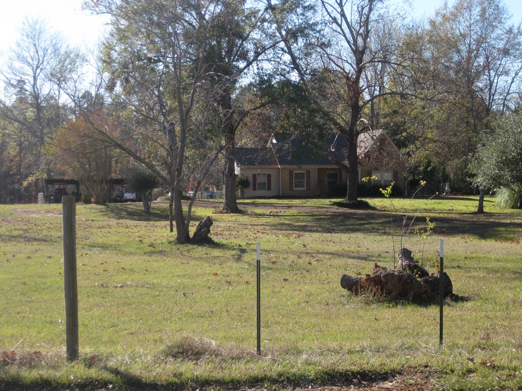
511 County Rd 783
511 County Rd 783
12061 Tx-21
FM, Cushing, TX, USA
12475 Tx-21
Cushing
Button Mountain
FM, Nacogdoches, TX, USA
County Road 723
Alto
Co Rd, Nacogdoches, TX, USA
Forest
10317 Us-259
2722 Durst St
US-, Nacogdoches, TX, USA
5575 Co Rd 1201
2104 Creekview Bend
735 Mockingbird Ln
304 Karle St
Pollok
Recent Searches:
- Elevation of Holloway Ave, San Francisco, CA, USA
- Elevation of Norfolk, NY, USA
- Elevation of - San Marcos Pass Rd, Santa Barbara, CA, USA
- Elevation of th Pl SE, Issaquah, WA, USA
- Elevation of 82- D Rd, Captain Cook, HI, USA
- Elevation of Harlow CM20 2PR, UK
- Elevation of Shenyang Agricultural University, Dong Ling Lu, Shen He Qu, Shen Yang Shi, Liao Ning Sheng, China
- Elevation of Alpha Dr, Melbourne, FL, USA
- Elevation of Hiroshima University, 1-chōme-3-2 Kagamiyama, Higashihiroshima, Hiroshima -, Japan
- Elevation of Bernina Dr, Lake Arrowhead, CA, USA