Elevation of Adair County, KY, USA
Location: United States > Kentucky >
Longitude: -85.313621
Latitude: 37.076403
Elevation: 224m / 735feet
Barometric Pressure: 99KPa
Elevation Map:
Satellite Map:
Related Photos:

View from here.

Drove out to Columbia, Ky and had a fabulous engagement session with Alayna and Tyler. They also had a pretty epic view of the sunset!! #engaged #engagement #engagementphotos #instapic #instalove #gettingmarried #couple #love #picoftheday #photooftheday #

@LWCAthletics men's #soccer in @MidSouthSports semis. @Play_NAIA
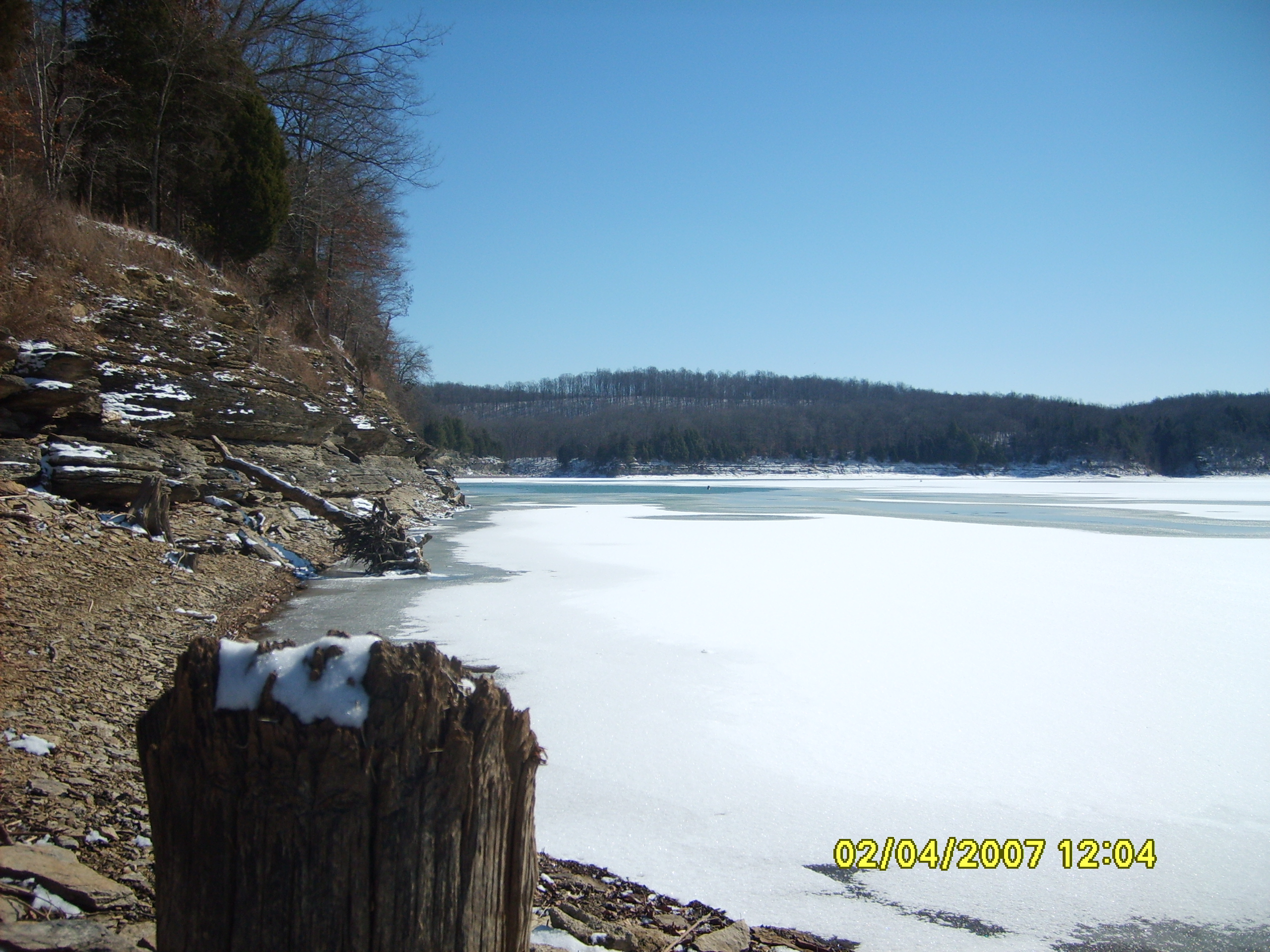
Frozen Lake
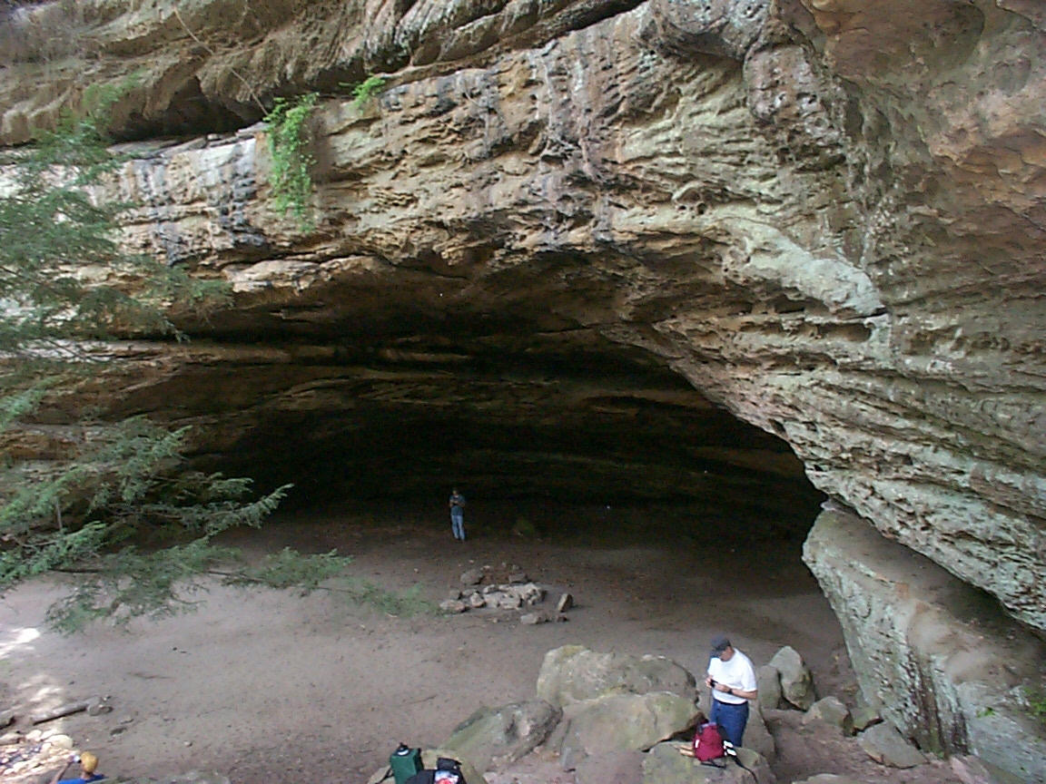
Indian Rock House
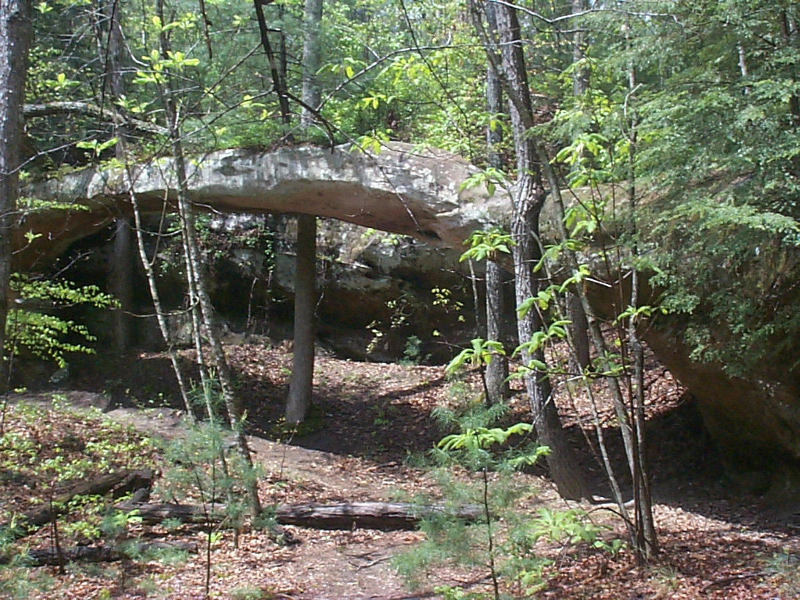
Needle Arch
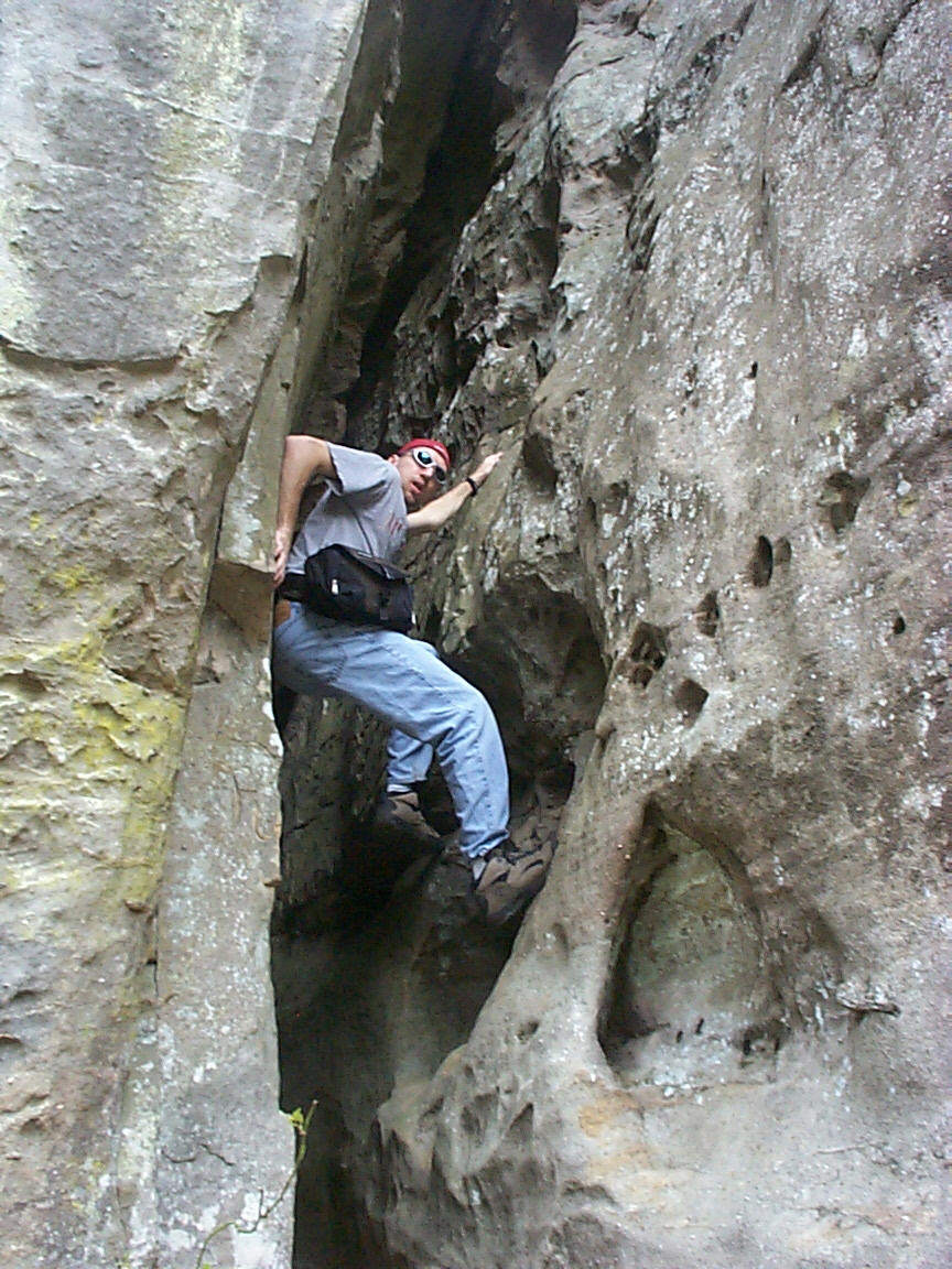
Scaling a cliff
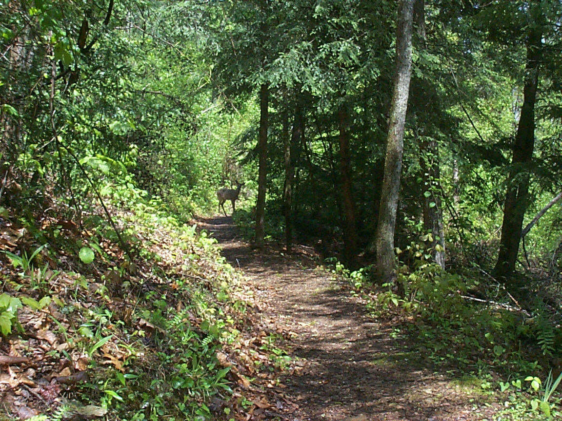
Doe, a Deer
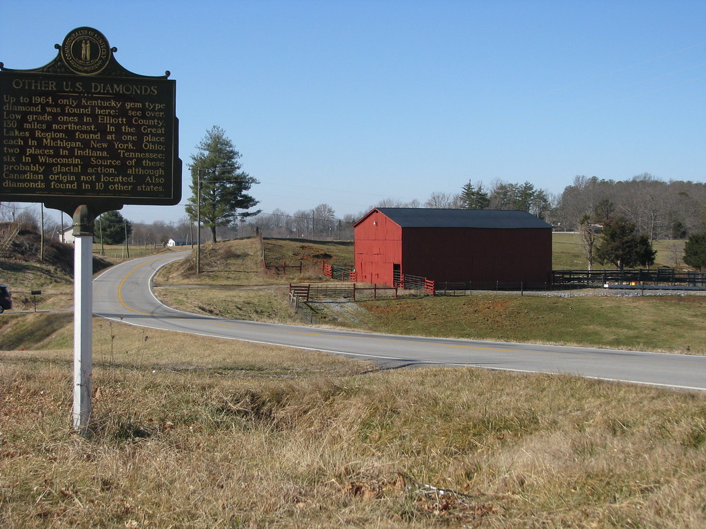
Diamonds in Kentucky
Topographic Map of Adair County, KY, USA
Find elevation by address:

Places in Adair County, KY, USA:
Places near Adair County, KY, USA:
Public Square, Columbia, KY, USA
Columbia
Acapulco Mexican Grill #2
946 Old Glensfork Rd
Montpelier Rd, Columbia, KY, USA
Taylor Ford Road
Edmoton Rd, Columbia, KY, USA
1877 Ky-768
Burkesville Rd, Columbia, KY, USA
536 Dirigo Rd
R Grider Rd, Russell Springs, KY, USA
Breeding
1135 Crocus Rd
791 Chestnut Grove Rd
Crocus Creek Rd, Burkesville, KY, USA
Fry Ridge Rd, Greensburg, KY, USA
KY-, Jamestown, KY, USA
KY-, Jamestown, KY, USA
KY-80, Russell Springs, KY, USA
959 Burdick School Rd
Recent Searches:
- Elevation of Corso Fratelli Cairoli, 35, Macerata MC, Italy
- Elevation of Tallevast Rd, Sarasota, FL, USA
- Elevation of 4th St E, Sonoma, CA, USA
- Elevation of Black Hollow Rd, Pennsdale, PA, USA
- Elevation of Oakland Ave, Williamsport, PA, USA
- Elevation of Pedrógão Grande, Portugal
- Elevation of Klee Dr, Martinsburg, WV, USA
- Elevation of Via Roma, Pieranica CR, Italy
- Elevation of Tavkvetili Mountain, Georgia
- Elevation of Hartfords Bluff Cir, Mt Pleasant, SC, USA