Elevation of Fry Ridge Rd, Greensburg, KY, USA
Location: United States > Kentucky > Green County > Greensburg >
Longitude: -85.488529
Latitude: 37.1480409
Elevation: 263m / 863feet
Barometric Pressure: 98KPa
Elevation Map:
Satellite Map:
Related Photos:
MILL 054
Greensburg Square Looking South

Greensburg Square Looking North
Indian Ridge Campground, Campbellsville, KY
Indian Ridge Campground, Campbellsville, KY

The General Store of Nell , Kentucky

Gradyville Baptist Church

Tebbs Bend Battlefield, Taylor County (Ky.), 13 November 2015
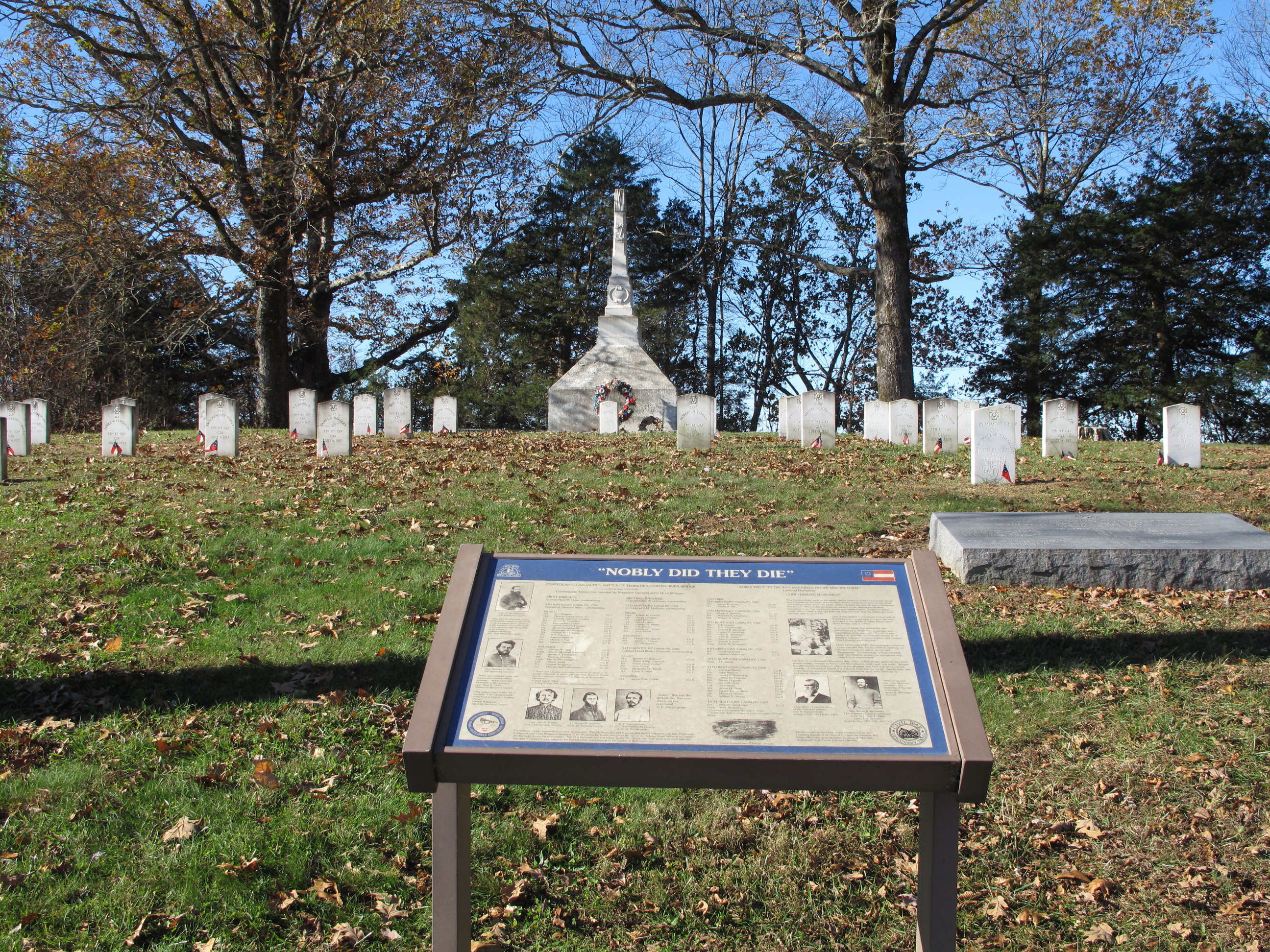
Tebbs Bend Battlefield, Taylor County (Ky.), 13 November 2015
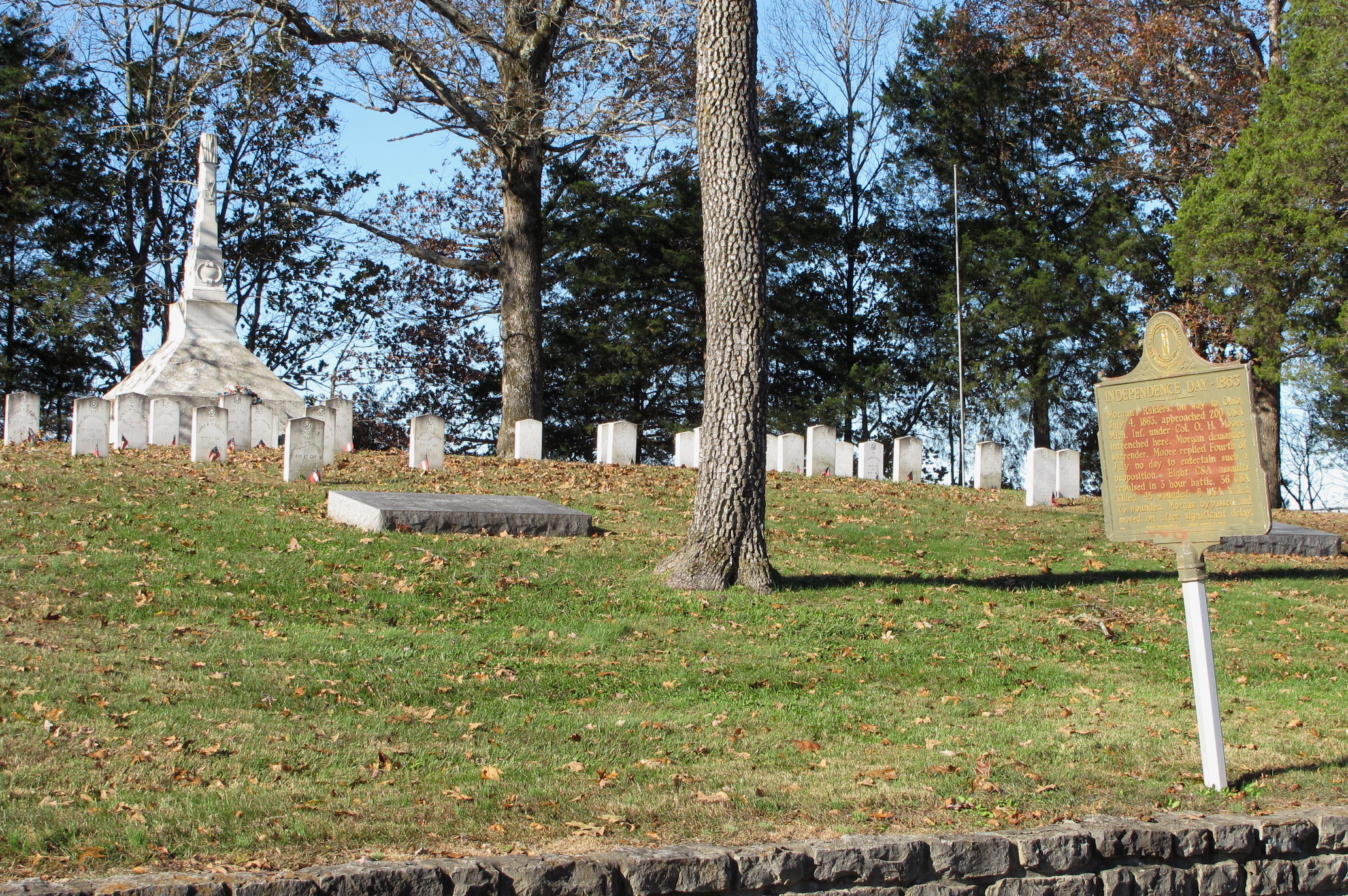
Tebbs Bend Battlefield, Taylor County (Ky.), 13 November 2015
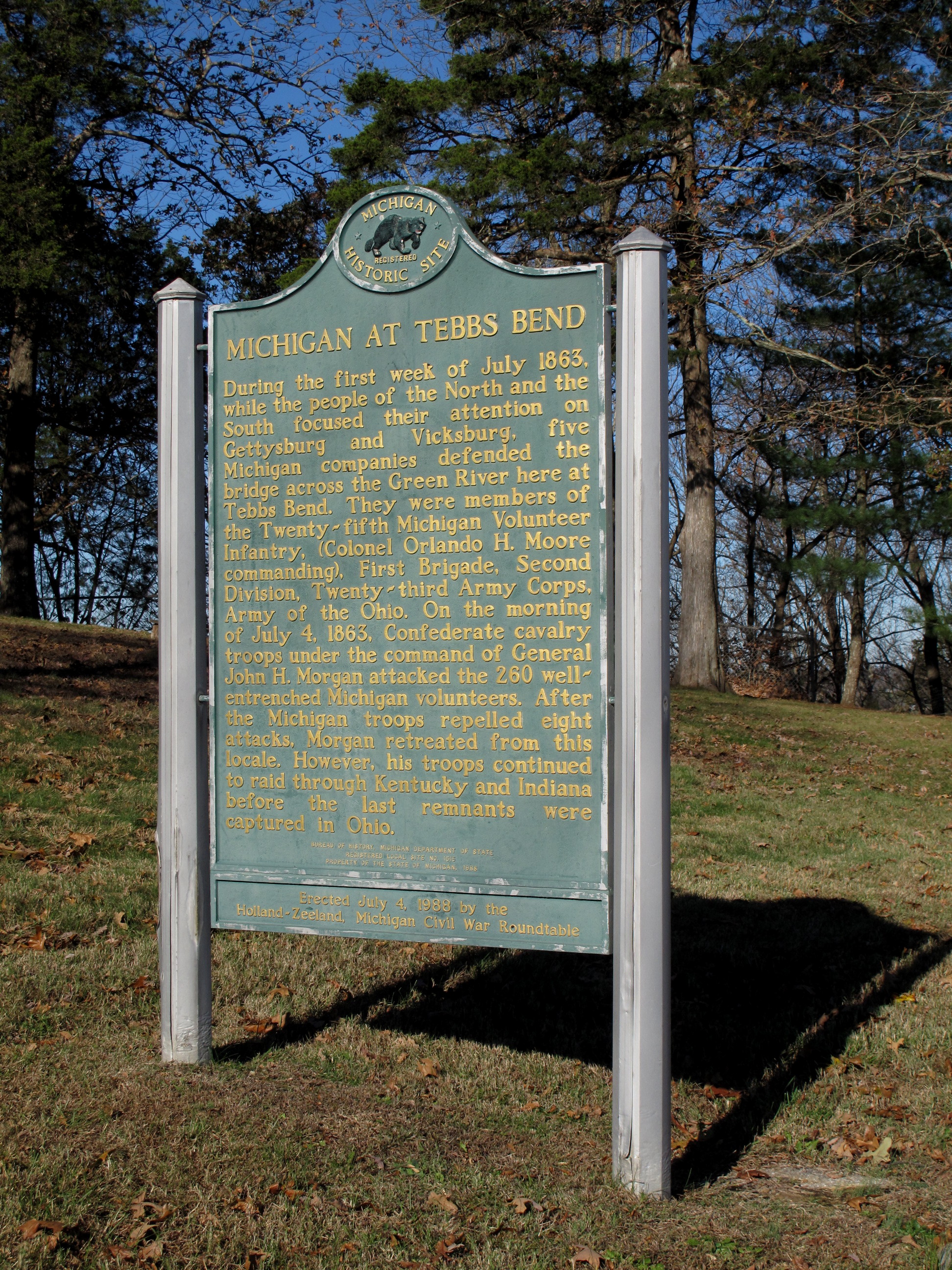
Tebbs Bend Battlefield, Taylor County (Ky.), 13 November 2015

Just another day down on the farm.
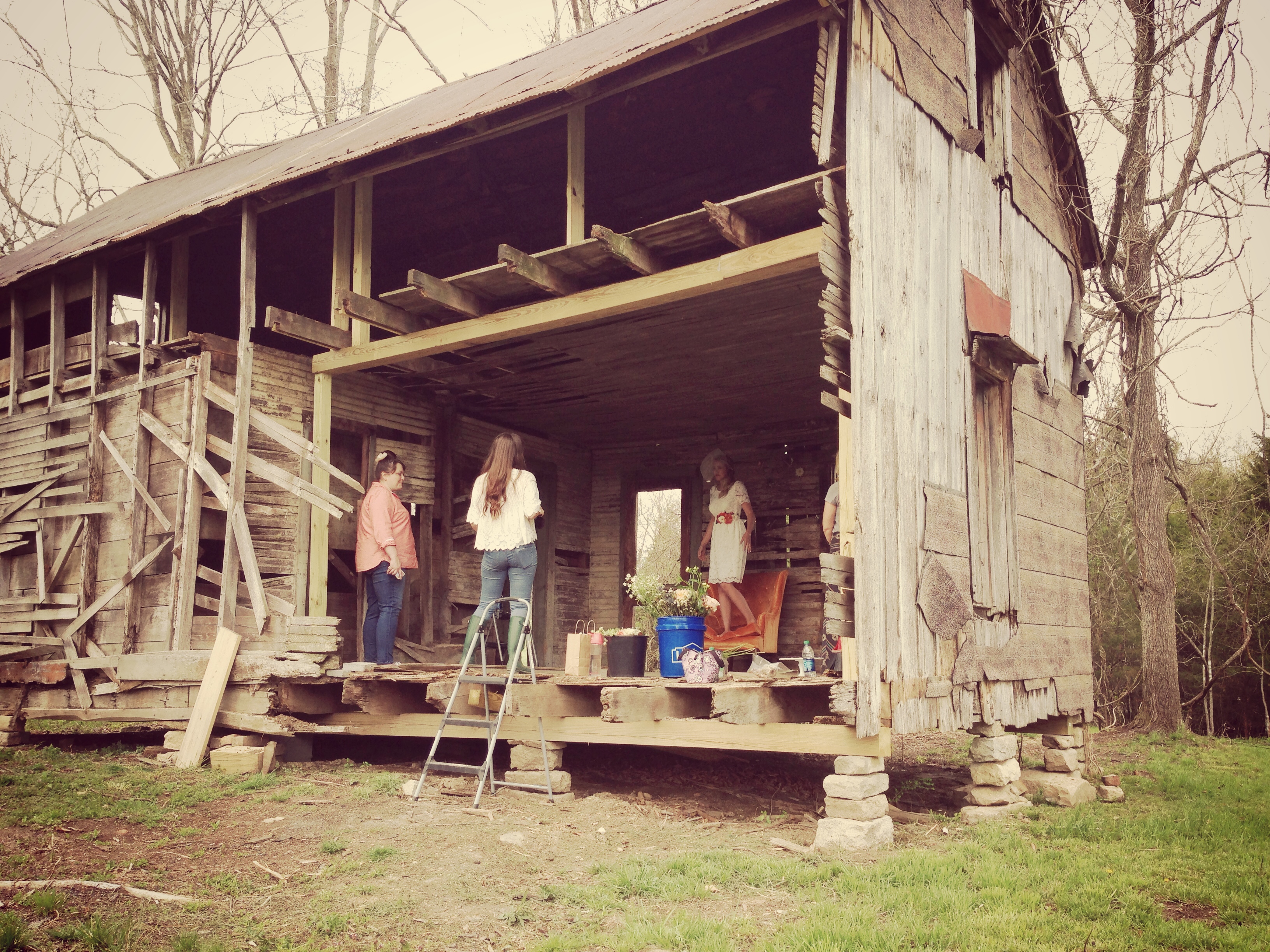
Photo shoot sausage.

On Main Street, Greensburg
Time Zone Anomaly
Indian Ridge Campground, Campbellsville, KY

Indian Ridge Campground, Campbellsville, KY
Indian Ridge Campground, Campbellsville, KY
Indian Ridge Campground, Campbellsville, KY
Indian Ridge Campground, Campbellsville, KY
Indian Ridge Campground, Campbellsville, KY

Pre-WWII Tin Ceiling
2011-12-29_09-02-49_71
2011-11-05_08-44-06_340
Topographic Map of Fry Ridge Rd, Greensburg, KY, USA
Find elevation by address:

Places near Fry Ridge Rd, Greensburg, KY, USA:
40 L Walker Rd
490 S Thurlow Rd
490 S Thurlow Rd
302 Industrial Rd
272 Ferry Rd
Kentucky 218
Greensburg
922 Buckner Hill Rd
420 Hidden Ln
420 Hidden Ln
420 Hidden Ln
420 Hidden Ln
420 Hidden Ln
420 Hidden Ln
Green County
685 Whickerville Rd
685 Whickerville Rd
685 Whickerville Rd
685 Whickerville Rd
Recent Searches:
- Elevation of Corso Fratelli Cairoli, 35, Macerata MC, Italy
- Elevation of Tallevast Rd, Sarasota, FL, USA
- Elevation of 4th St E, Sonoma, CA, USA
- Elevation of Black Hollow Rd, Pennsdale, PA, USA
- Elevation of Oakland Ave, Williamsport, PA, USA
- Elevation of Pedrógão Grande, Portugal
- Elevation of Klee Dr, Martinsburg, WV, USA
- Elevation of Via Roma, Pieranica CR, Italy
- Elevation of Tavkvetili Mountain, Georgia
- Elevation of Hartfords Bluff Cir, Mt Pleasant, SC, USA