Elevation of Industrial Rd, Greensburg, KY, USA
Location: United States > Kentucky > Green County > Greensburg >
Longitude: -85.492415
Latitude: 37.2446523
Elevation: 219m / 719feet
Barometric Pressure: 99KPa
Elevation Map:
Satellite Map:
Related Photos:
Goodbye, Fruit of the Loom
MILL 054
Greensburg Square Looking South

Greensburg Square Looking North
Indian Ridge Campground, Campbellsville, KY
Indian Ridge Campground, Campbellsville, KY

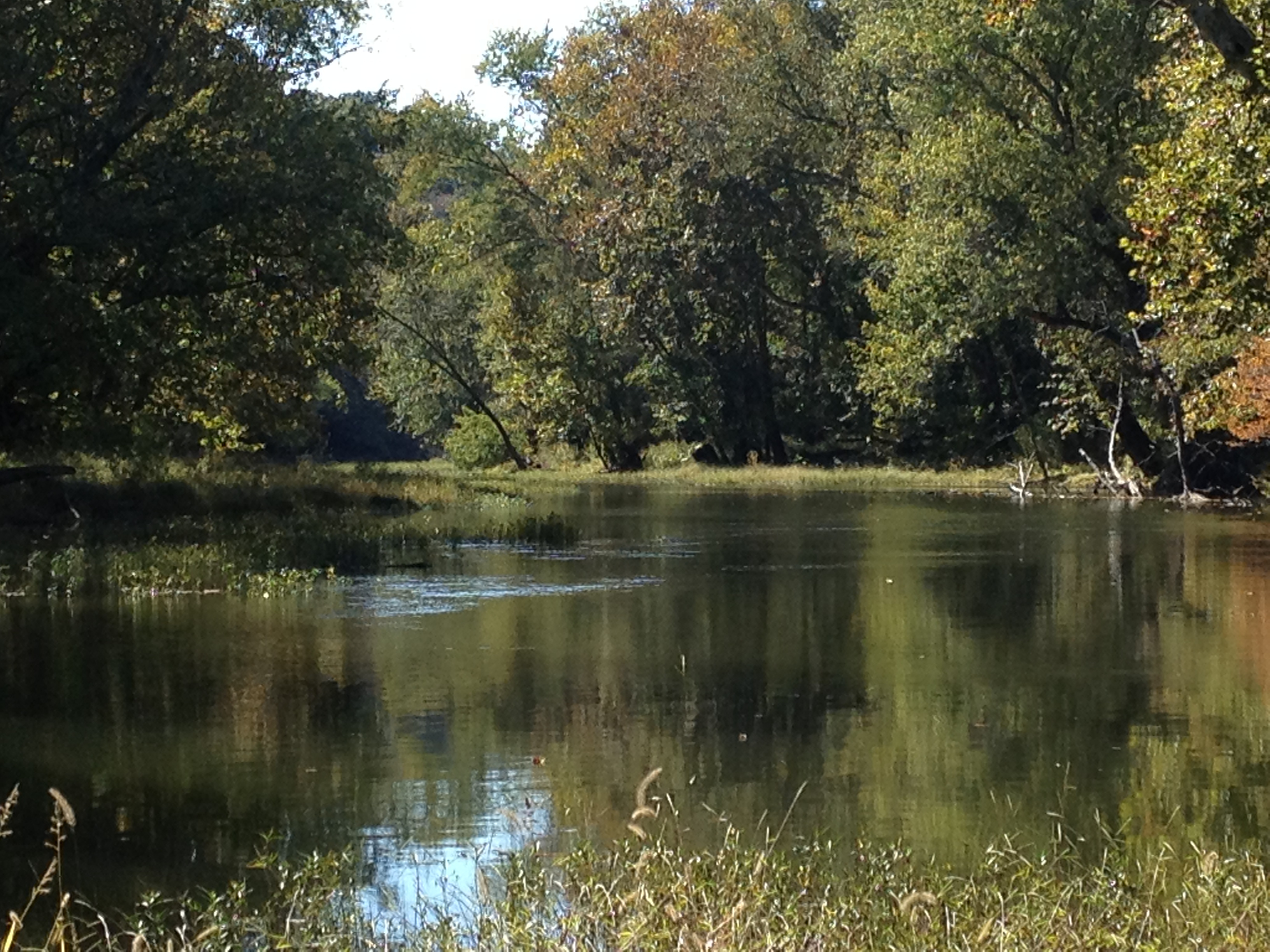
sunset on the Green River
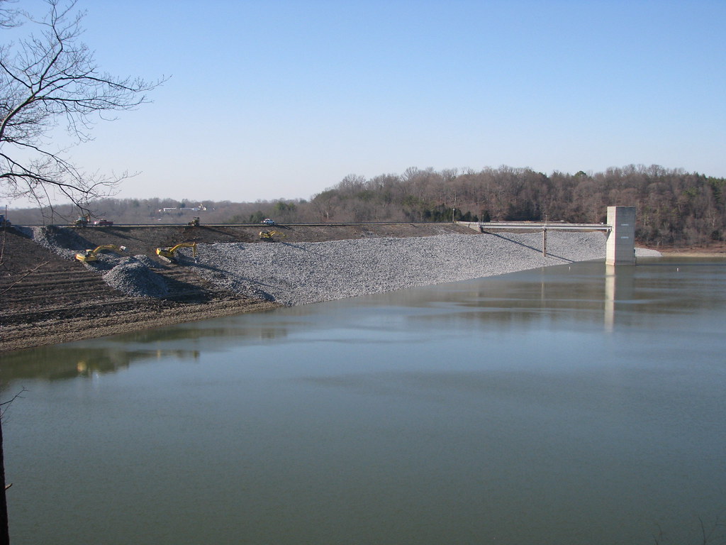
Green River Lake
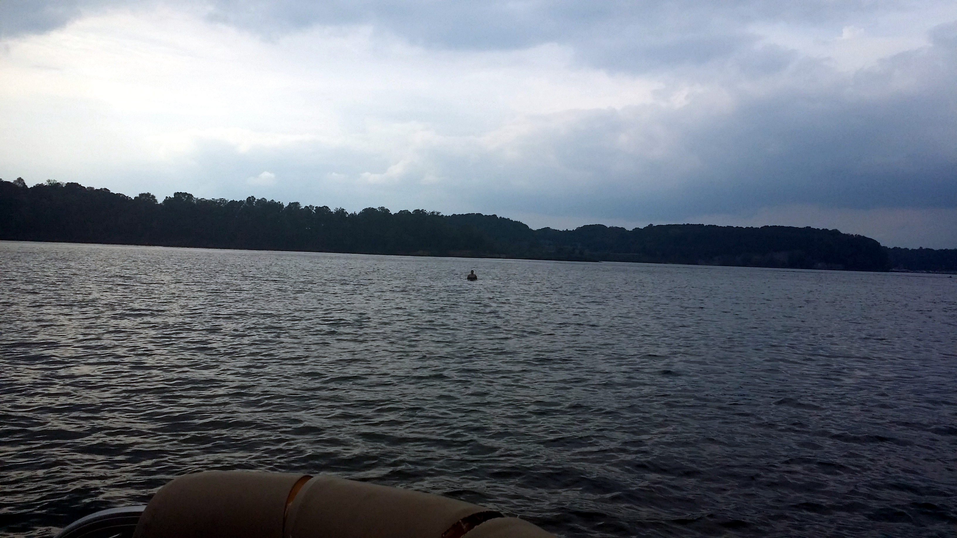
Christina in the Shallows
Topographic Map of Industrial Rd, Greensburg, KY, USA
Find elevation by address:

Places near Industrial Rd, Greensburg, KY, USA:
Greensburg
272 Ferry Rd
922 Buckner Hill Rd
490 S Thurlow Rd
490 S Thurlow Rd
40 L Walker Rd
420 Hidden Ln
420 Hidden Ln
420 Hidden Ln
420 Hidden Ln
420 Hidden Ln
420 Hidden Ln
Green County
Fry Ridge Rd, Greensburg, KY, USA
Kentucky 218
685 Whickerville Rd
685 Whickerville Rd
685 Whickerville Rd
685 Whickerville Rd
Recent Searches:
- Elevation of Congressional Dr, Stevensville, MD, USA
- Elevation of Bellview Rd, McLean, VA, USA
- Elevation of Stage Island Rd, Chatham, MA, USA
- Elevation of Shibuya Scramble Crossing, 21 Udagawacho, Shibuya City, Tokyo -, Japan
- Elevation of Jadagoniai, Kaunas District Municipality, Lithuania
- Elevation of Pagonija rock, Kranto 7-oji g. 8"N, Kaunas, Lithuania
- Elevation of Co Rd 87, Jamestown, CO, USA
- Elevation of Tenjo, Cundinamarca, Colombia
- Elevation of Côte-des-Neiges, Montreal, QC H4A 3J6, Canada
- Elevation of Bobcat Dr, Helena, MT, USA