Elevation of Green County, KY, USA
Location: United States > Kentucky >
Longitude: -85.56121
Latitude: 37.2570117
Elevation: 178m / 584feet
Barometric Pressure: 99KPa
Elevation Map:
Satellite Map:
Related Photos:
MILL 054
Greensburg Square Looking South

Greensburg Square Looking North
300 Springs 13

On Main Street, Greensburg

Pre-WWII Tin Ceiling
2011-12-29_09-02-49_71
2011-11-05_08-44-06_340
2011-11-05_08-58-55_177

2011-11-05_10-14-43_652

2011-11-05_10-42-07_793

2011-12-11_16-35-52_108

2011-12-11_16-36-02_342
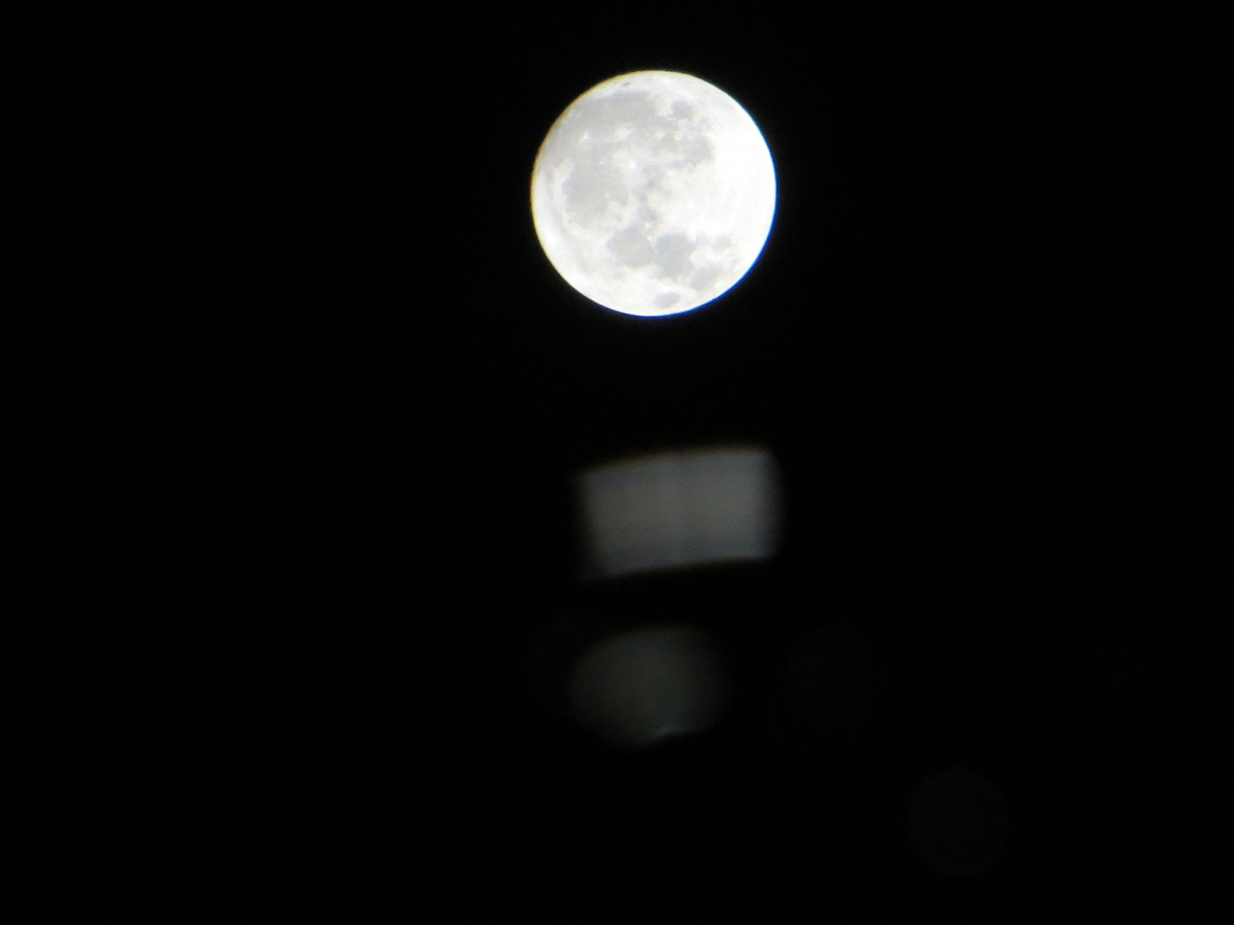
The Moon's Reflection in a Puddle

Pierce's store

Skyline Theatre
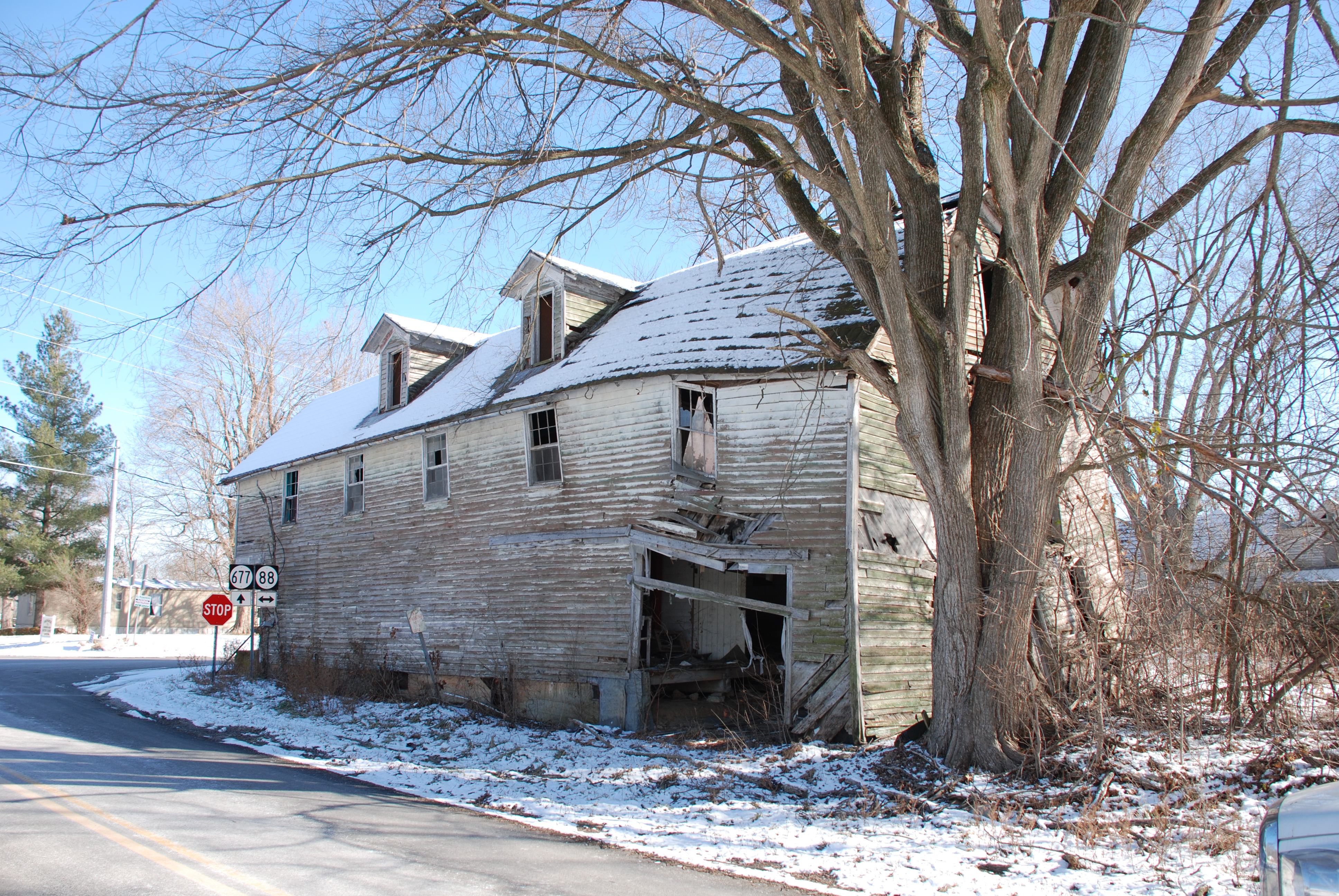
Bell,s Mill
Topographic Map of Green County, KY, USA
Find elevation by address:

Places in Green County, KY, USA:
Places near Green County, KY, USA:
420 Hidden Ln
420 Hidden Ln
420 Hidden Ln
420 Hidden Ln
420 Hidden Ln
420 Hidden Ln
922 Buckner Hill Rd
272 Ferry Rd
490 S Thurlow Rd
490 S Thurlow Rd
40 L Walker Rd
Greensburg
302 Industrial Rd
Kentucky 218
Fry Ridge Rd, Greensburg, KY, USA
685 Whickerville Rd
685 Whickerville Rd
685 Whickerville Rd
685 Whickerville Rd
Recent Searches:
- Elevation of Corso Fratelli Cairoli, 35, Macerata MC, Italy
- Elevation of Tallevast Rd, Sarasota, FL, USA
- Elevation of 4th St E, Sonoma, CA, USA
- Elevation of Black Hollow Rd, Pennsdale, PA, USA
- Elevation of Oakland Ave, Williamsport, PA, USA
- Elevation of Pedrógão Grande, Portugal
- Elevation of Klee Dr, Martinsburg, WV, USA
- Elevation of Via Roma, Pieranica CR, Italy
- Elevation of Tavkvetili Mountain, Georgia
- Elevation of Hartfords Bluff Cir, Mt Pleasant, SC, USA