Elevation of Dirigo Rd, Breeding, KY, USA

Location: United States > Kentucky > Adair County > Breeding >

Longitude: -85.375471

Latitude: 36.9669179

Elevation: 286m / 938feet

Barometric Pressure: 98KPa

Elevation Map:

elevation map of Dirigo Rd, Breeding, KY, USA

Satellite Map:

Satellite map of Dirigo Rd, Breeding, KY, USA

Related Photos:

square squareformat iphoneography instagramapp uploaded:by=instagram
Drove out to Columbia, Ky and had a fabulous engagement session with Alayna and Tyler. They also had a pretty epic view of the sunset!! #engaged #engagement #engagementphotos #instapic #instalove #gettingmarried #couple #love #picoftheday #photooftheday #
greenriver arch landscape winter creelsboronaturalbridge rockhouse kentucky rockhousenaturalbridge farm jamestown unitedstates rockhousetrace
Did you settle down with Cora and raise a family?
dawn cambrianexplosionoflife riseoflandanimals massextinction ordoviciangeologicalperiod creelsboro creelsboronaturalbridge cumberlandformation kentucky nationalnaturallandmark rockhousearch rockhousenaturalbridge russellcounty arch sunrise alsosprachzarathustraop30 fanfare
Also Sprach Zarathustra
cumberlandformation nationalnaturallandmark rockhousearch rockhousenaturalbridge upperordovicianperiod siltydolomite nnl
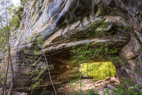
Creelsboro Natural Bridge is created from 440 million year old strata
cumberlandriver kentucky milkyway rockhousenaturalbridge russellcounty southcentralkentucky cosmos forests stars jupiter saturn planets summernightsky
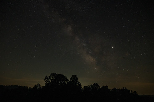
Giant Jupiter rides its Milky Way saddle above Kentucky forests
arch kentucky russellcounty creelsboro rockhousenaturalbridge creelsboronaturalbridge naturalbridge dolomite
Ancient dolomite ridge stops the Cumberland
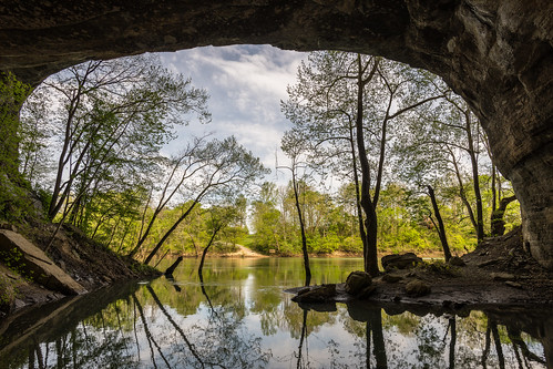
creelsboro creelsboronaturalbridge cumberlandriver kentucky rockhousearch rockhousenaturalbridge arch
Rock House Arch: a river flows to it
creelsboro creelsboronaturalbridge cumberlandformation cumberlandriver kentucky nationalnaturallandmark rockhousearch rockhousenaturalbridge russellcounty arch spring
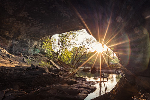
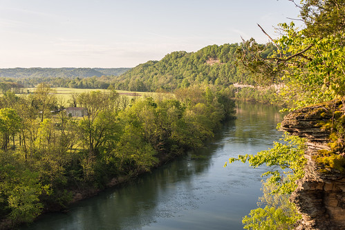
Light, shade, trees and ripples on the Cumberland River
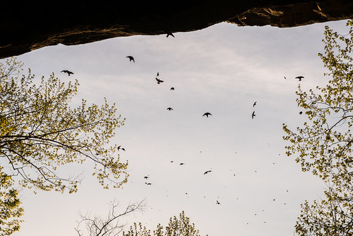
creelsboro creelsboronaturalbridge cumberlandformation hirundinidaefamily kentucky nationalnaturallandmark petrochelidonpyrrhonota rockhousearch rockhousenaturalbridge russellcounty arch cliffswallow
A swoop of cliff swallows returns home to the walls of Creelsboro Natural Bridge
creelsboro creelsboronaturalbridge cumberlandformation kentucky nationalnaturallandmark rockhousearch rockhousenaturalbridge russellcounty arch
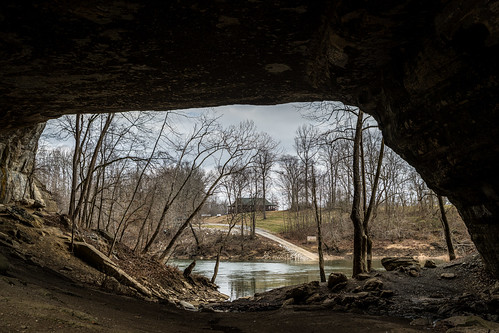
The Cumberland River beats a path to Creelsboro Arch's door
qsl qslcard cbradio cb vintage pictured kentucky state
Ronnie Stephens - Flatwoods, Kentucky
Russell County, Kentucky
Columbia, Kentucky
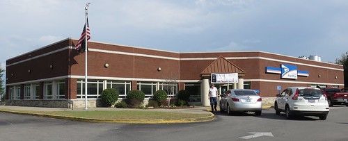
kentucky ky postoffices adaircounty columbia northamerica unitedstates us
Post Office 42728 (Columbia, Kentucky)
bw monochrome kentucky russellcounty cumberlandriver wolfcreekdam creelsboroarch rockbridgenaturalbridge
Gate to Wonderland
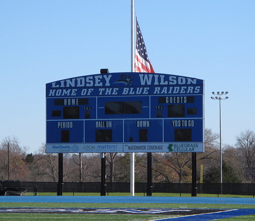
football stadiums kentucky lindseywilsoncollege columbiaky adaircountyky blueraiderstadium lindseywilsonblueraiders
Blue Raider Stadium, Columbia (Ky.), 13 November 2015
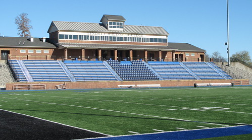
football stadiums kentucky lindseywilsoncollege columbiaky adaircountyky blueraiderstadium lindseywilsonblueraiders
Blue Raider Stadium, Columbia (Ky.), 13 November 2015
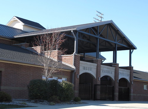
football stadiums kentucky lindseywilsoncollege columbiaky adaircountyky blueraiderstadium lindseywilsonblueraiders
Blue Raider Stadium, Columbia (Ky.), 13 November 2015
football stadiums kentucky lindseywilsoncollege columbiaky adaircountyky blueraiderstadium lindseywilsonblueraiders
Blue Raider Stadium, Columbia (Ky.), 13 November 2015
football stadiums kentucky lindseywilsoncollege columbiaky adaircountyky blueraiderstadium lindseywilsonblueraiders
Blue Raider Stadium, Columbia (Ky.), 13 November 2015
kentucky ky columbia bands marching kmea
2013 KMEA 3A West Quarterfinals