Elevation of Cumberland County, KY, USA
Location: United States > Kentucky >
Longitude: -85.354965
Latitude: 36.7776446
Elevation: 222m / 728feet
Barometric Pressure: 99KPa
Elevation Map:
Satellite Map:
Related Photos:

View

Hiking to Eagle's Nest

Kickin' back.

chilling saturday afternoon

err IMG_7117

err IMG_7116

err IMG_7126

err IMG_7130

err IMG_7134

err IMG_7169

err IMG_7177

err IMG_7178

err IMG_7183

err IMG_7181

err IMG_7187

tent and chair

Gate to Wonderland
Vacation 2015 030

Beth's Setup

Charlie & Christina

Kentucky Wedding
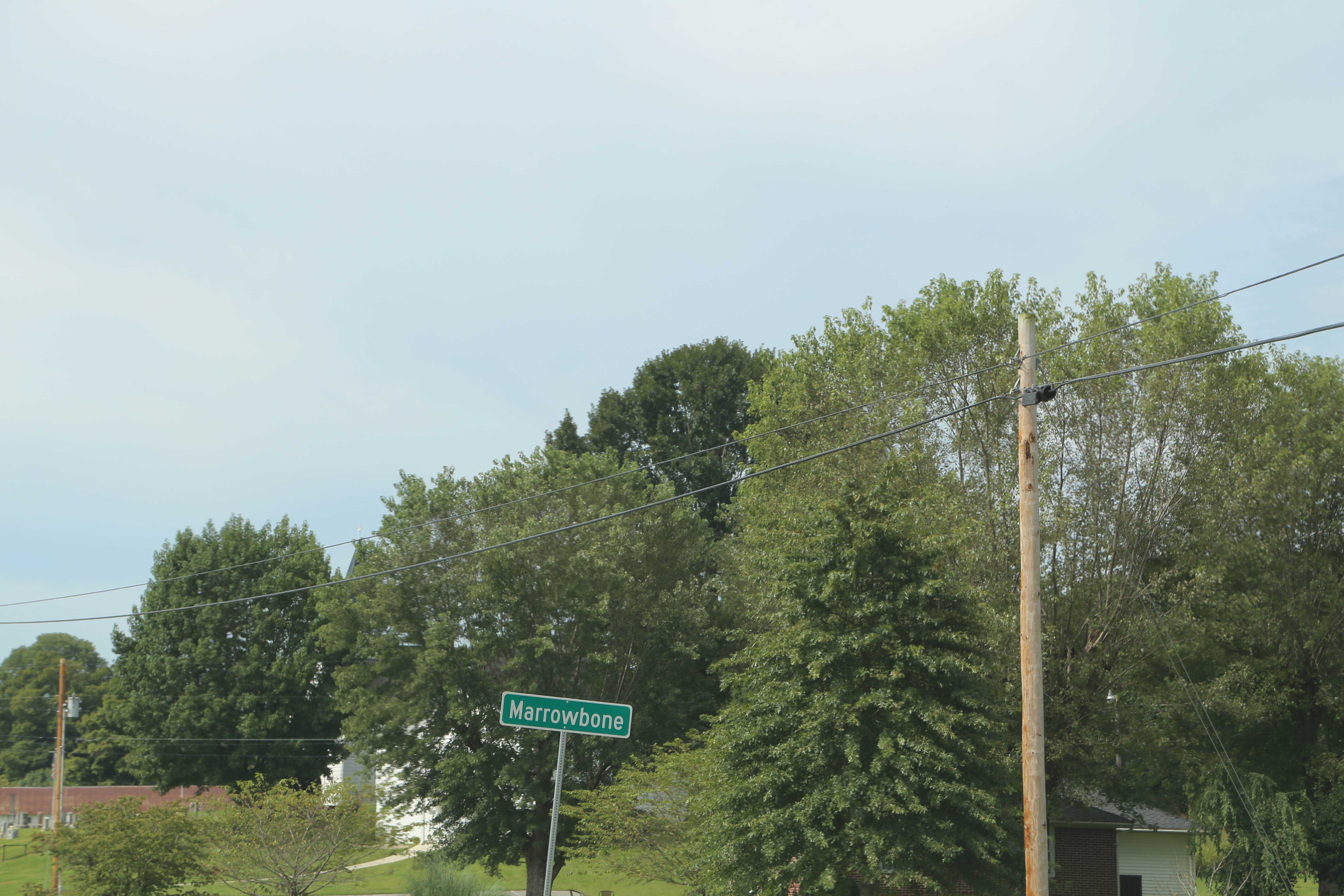
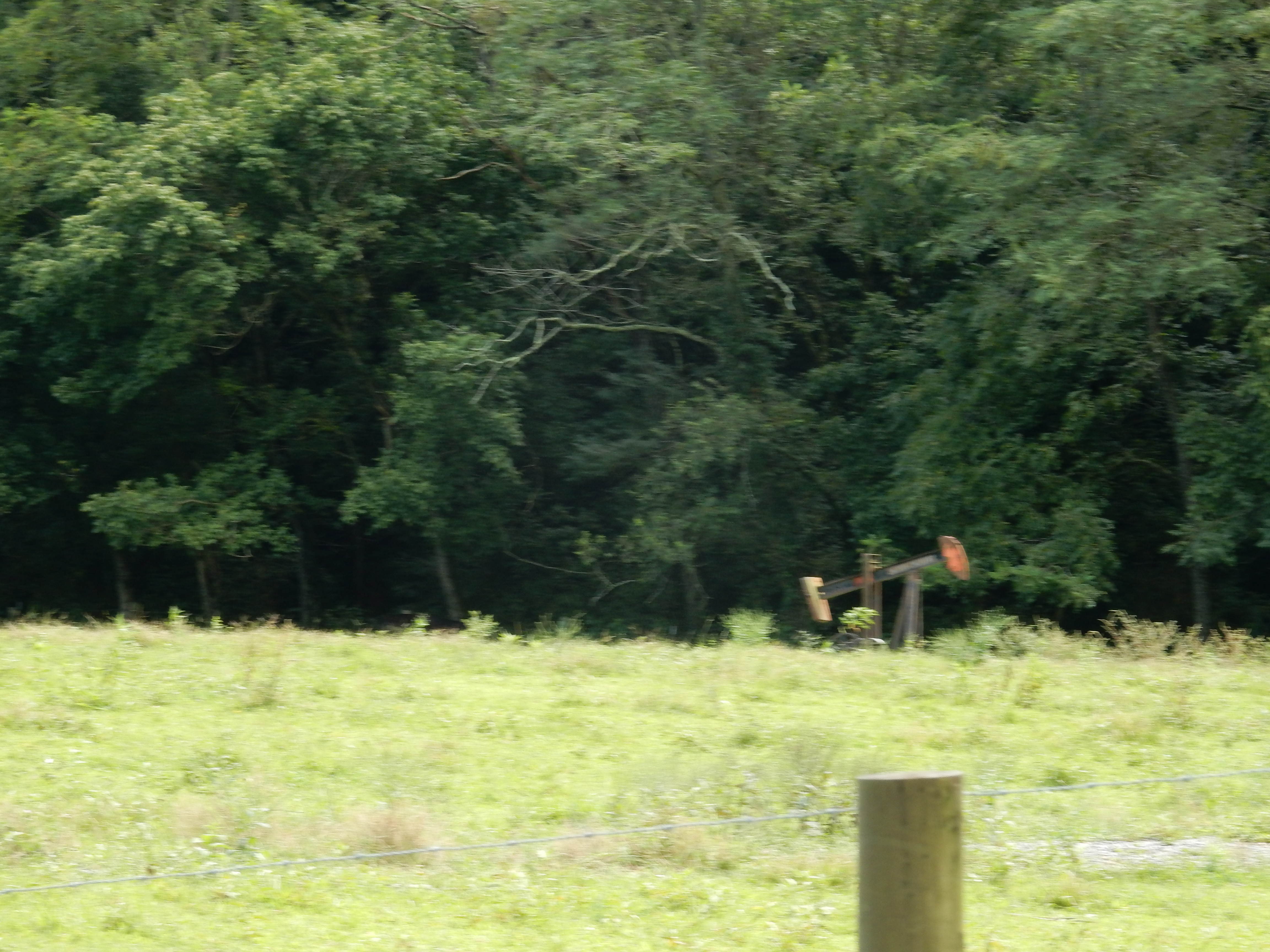
Marrowbone Kentucky, Cumberland County KY
Marrowbone Kentucky, Cumberland County KY
Topographic Map of Cumberland County, KY, USA
Find elevation by address:

Places in Cumberland County, KY, USA:
Places near Cumberland County, KY, USA:
Burkesville
446 Cold Springs Rd
446 Cold Springs Rd
446 Cold Springs Rd
446 Cold Springs Rd
446 Cold Springs Rd
204 Rabbit Run Rd
Whites Bottom Road
Whites Bottom Rd, Burkesville, KY, USA
Glasgow Rd, Burkesville, KY, USA
Crocus Creek Rd, Burkesville, KY, USA
11874 Us-127
US-, Albany, KY, USA
US-, Albany, KY, USA
US-, Albany, KY, USA
KY-, Jamestown, KY, USA
State Hwy, Albany, KY, USA
80 Kendall Rd, Jamestown, KY, USA
Wolf Creek National Fish Hatchery Visitor And Environmental Education Center
State Hwy, Albany, KY, USA
Recent Searches:
- Elevation of Corso Fratelli Cairoli, 35, Macerata MC, Italy
- Elevation of Tallevast Rd, Sarasota, FL, USA
- Elevation of 4th St E, Sonoma, CA, USA
- Elevation of Black Hollow Rd, Pennsdale, PA, USA
- Elevation of Oakland Ave, Williamsport, PA, USA
- Elevation of Pedrógão Grande, Portugal
- Elevation of Klee Dr, Martinsburg, WV, USA
- Elevation of Via Roma, Pieranica CR, Italy
- Elevation of Tavkvetili Mountain, Georgia
- Elevation of Hartfords Bluff Cir, Mt Pleasant, SC, USA