Elevation of Acapulco Mexican Grill #2, Public Square, Columbia, KY, USA
Location: United States > Kentucky > Adair County > Columbia >
Longitude: -85.306730
Latitude: 37.1030947
Elevation: 233m / 764feet
Barometric Pressure: 99KPa
Elevation Map:
Satellite Map:
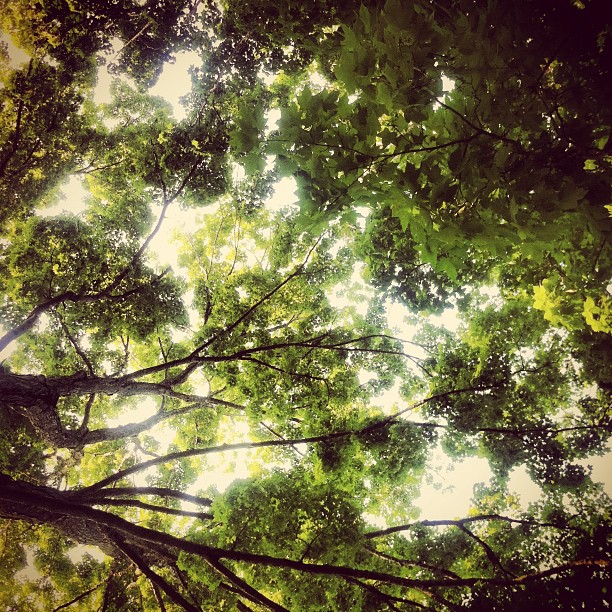
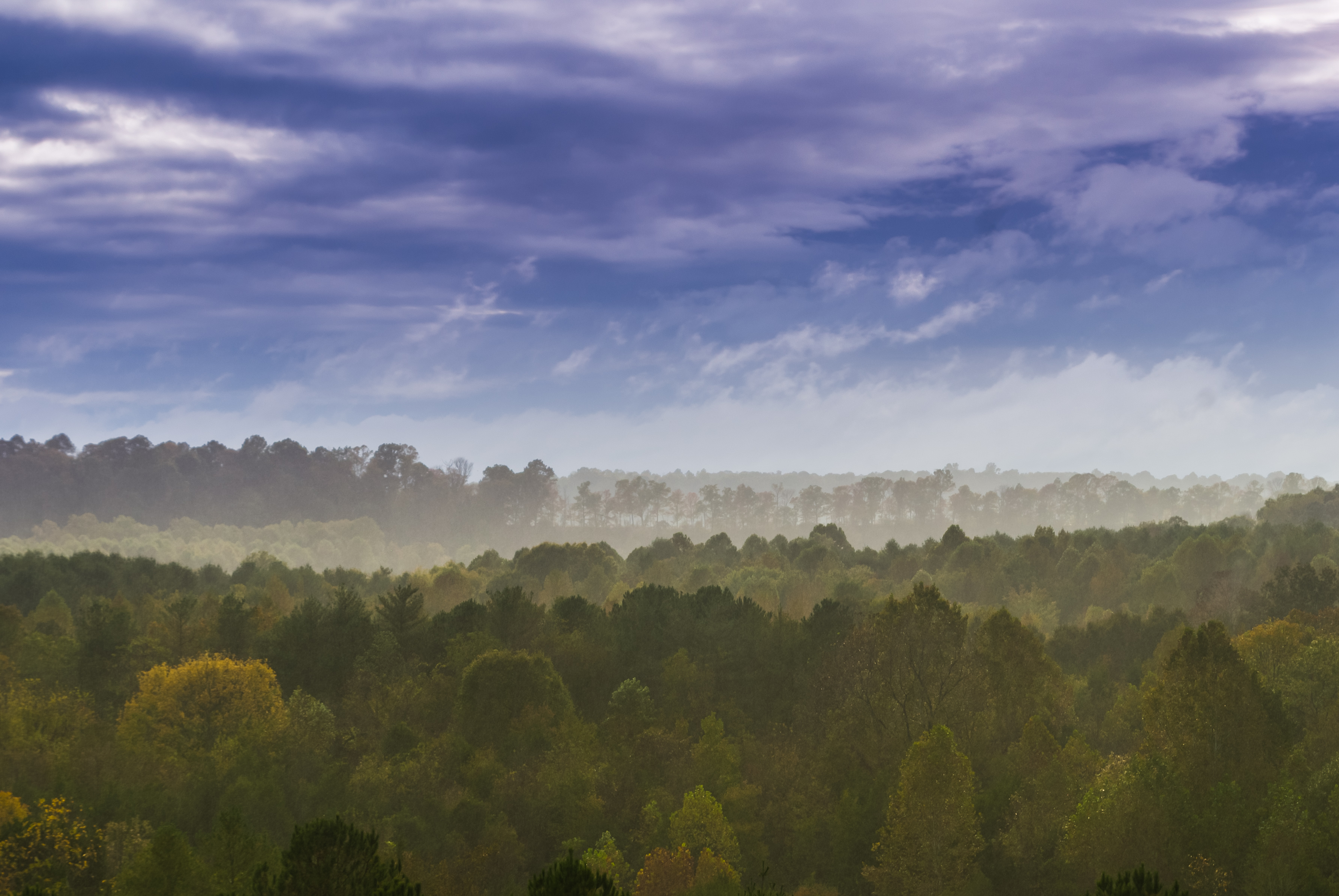
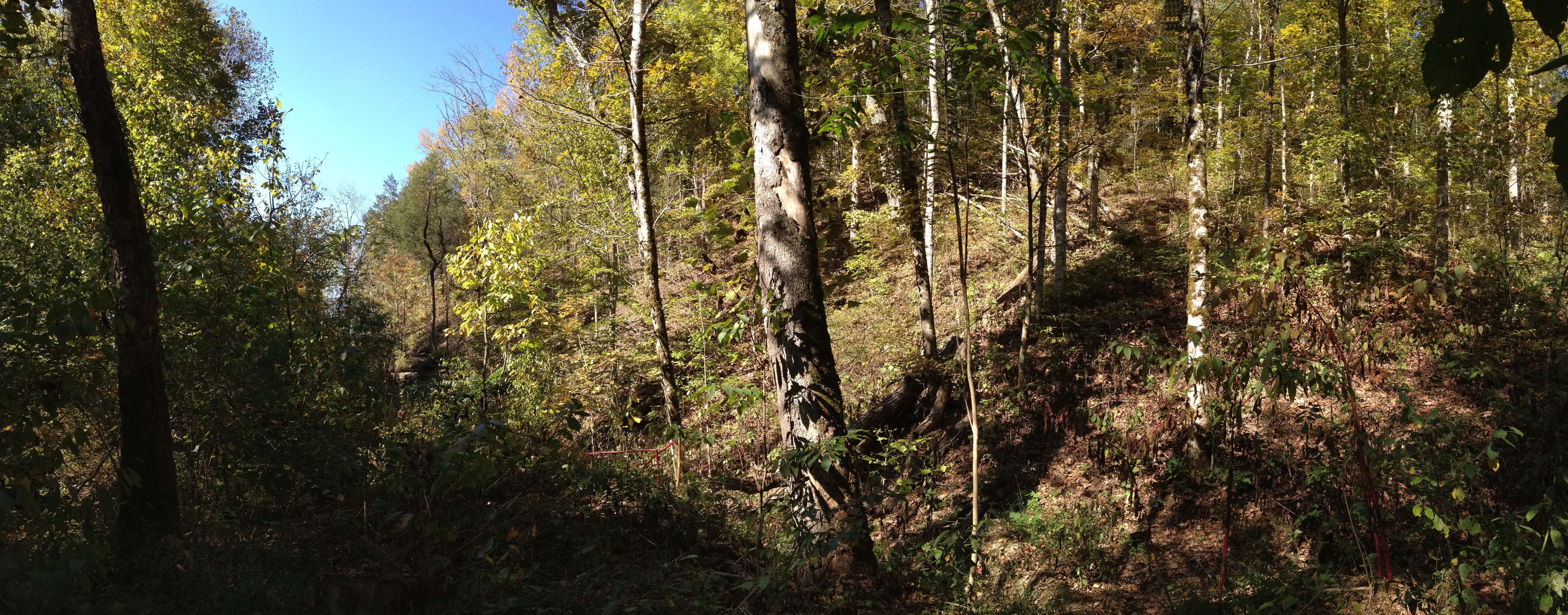
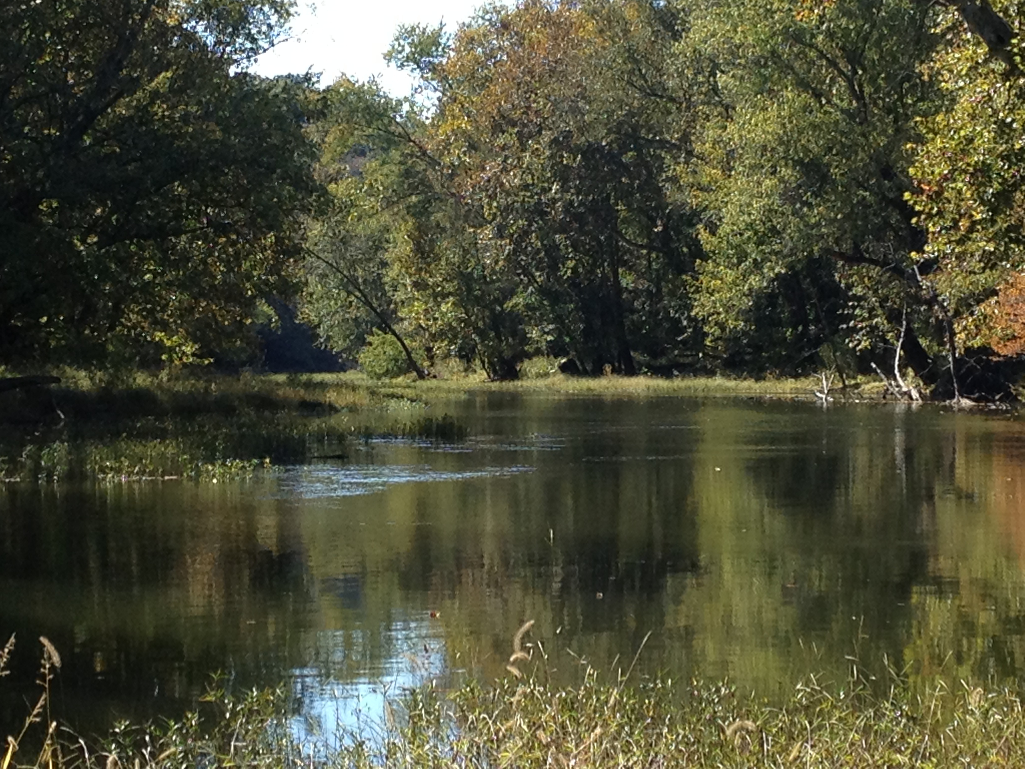
Related Photos:
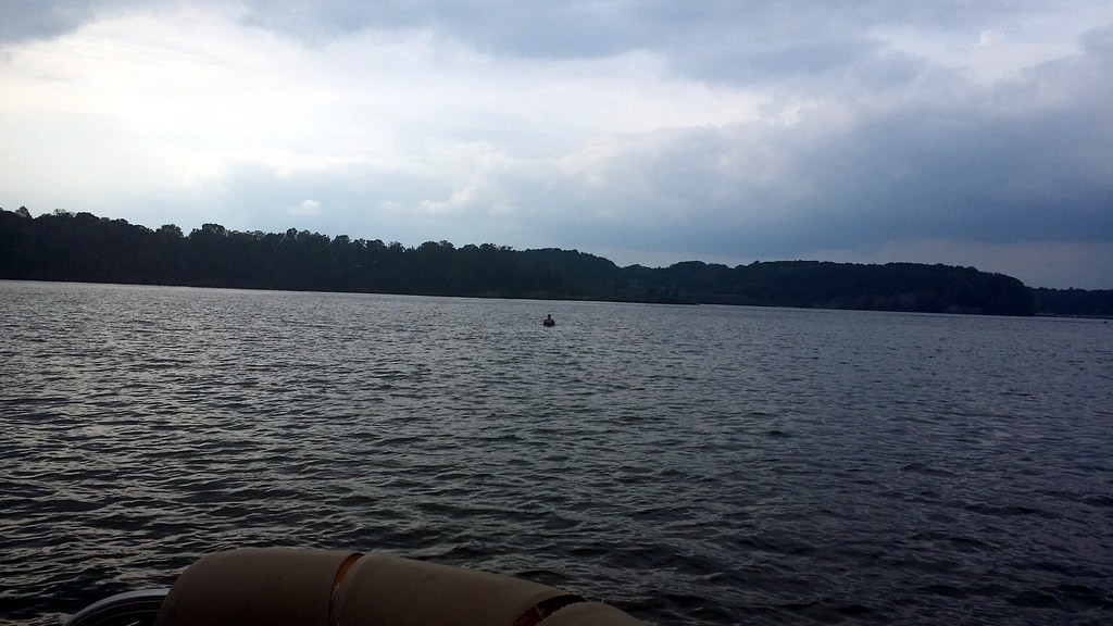
View from here.

Drove out to Columbia, Ky and had a fabulous engagement session with Alayna and Tyler. They also had a pretty epic view of the sunset!! #engaged #engagement #engagementphotos #instapic #instalove #gettingmarried #couple #love #picoftheday #photooftheday #
Like a pastel painting
Indian Ridge Campground, Campbellsville, KY
Indian Ridge Campground, Campbellsville, KY
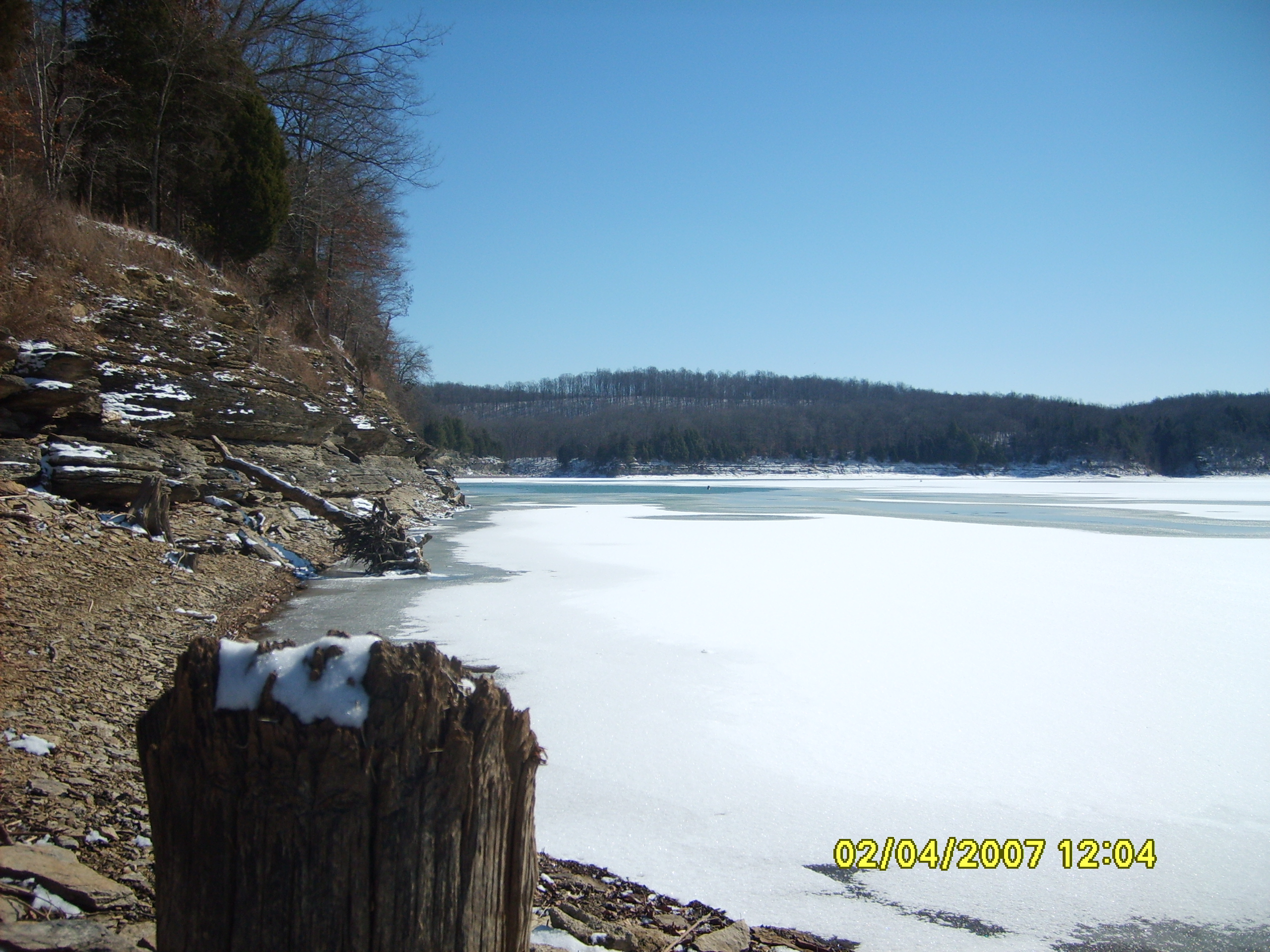
Frozen Lake
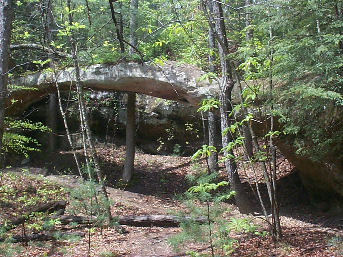
Needle Arch
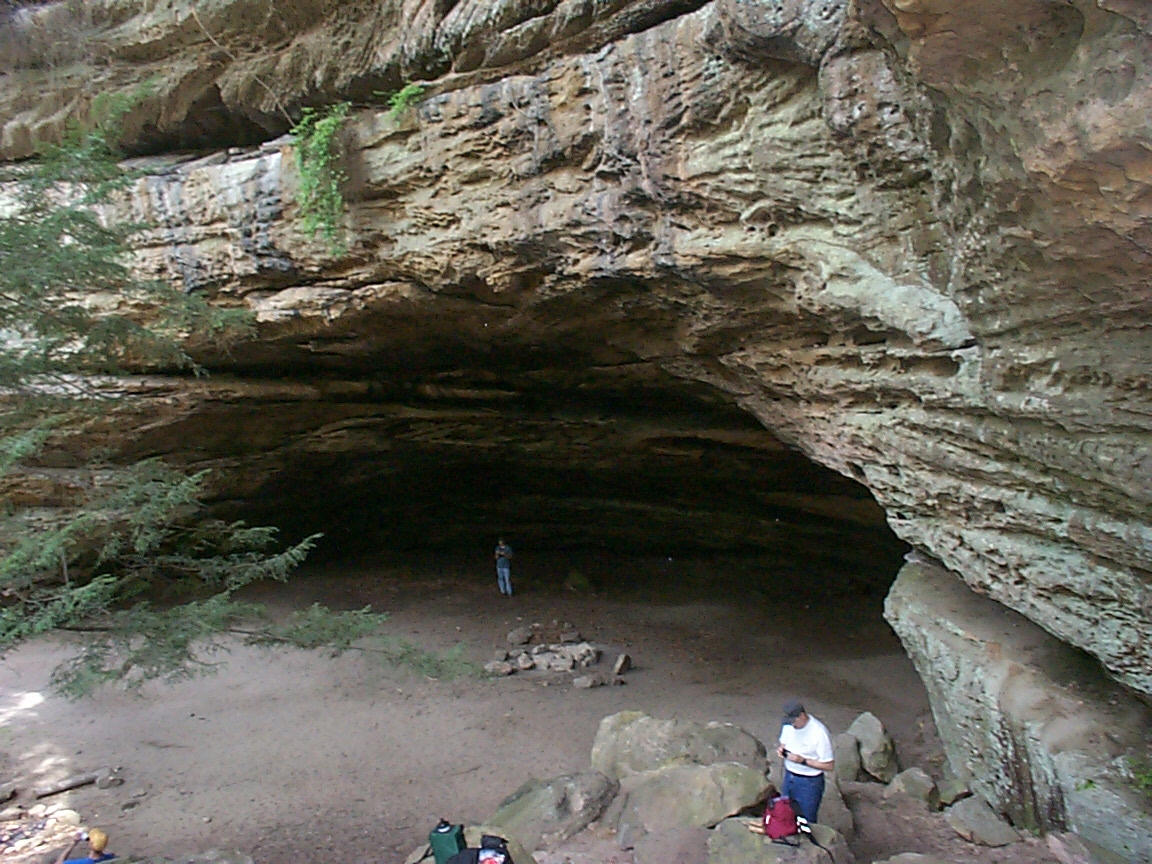
Indian Rock House
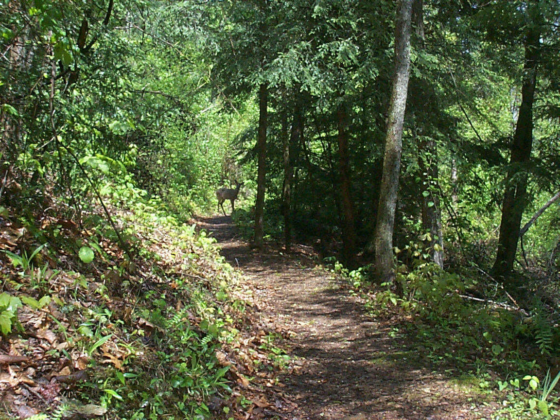
Doe, a Deer
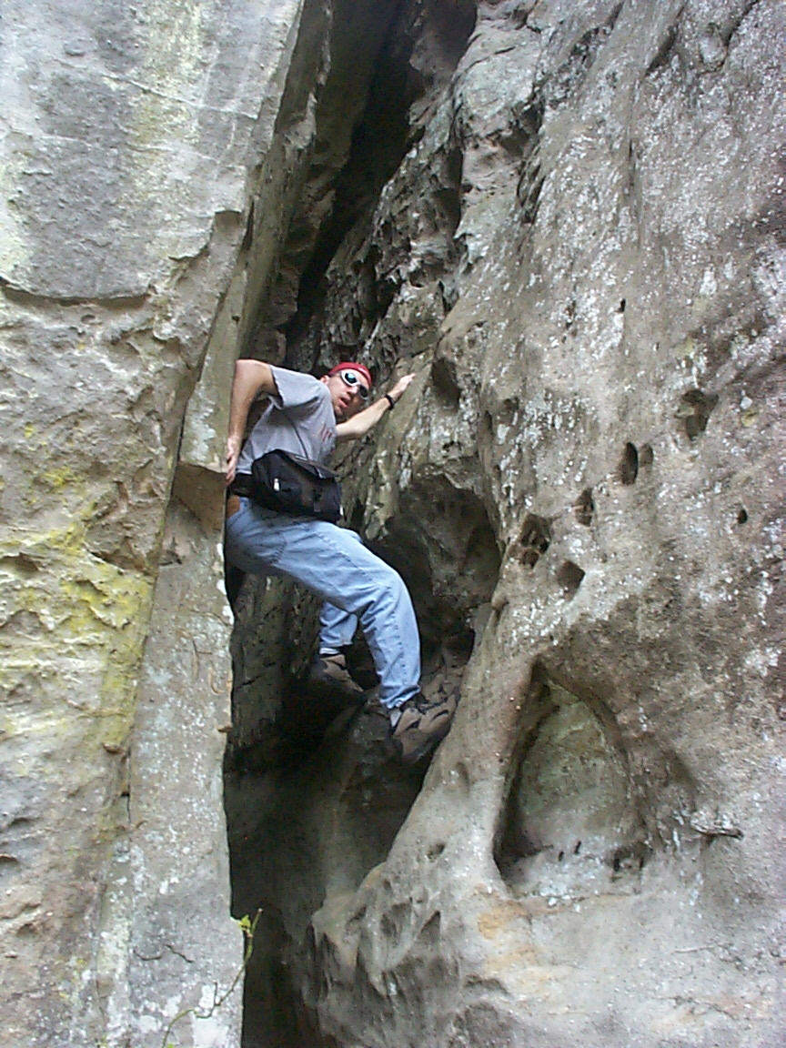
Scaling a cliff
Christina in the Shallows
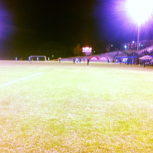
@LWCAthletics men's #soccer in @MidSouthSports semis. @Play_NAIA
Topographic Map of Acapulco Mexican Grill #2, Public Square, Columbia, KY, USA
Find elevation by address:

Places near Acapulco Mexican Grill #2, Public Square, Columbia, KY, USA:
Columbia
Public Square, Columbia, KY, USA
Adair County
946 Old Glensfork Rd
Montpelier Rd, Columbia, KY, USA
Taylor Ford Road
1877 Ky-768
Edmoton Rd, Columbia, KY, USA
Burkesville Rd, Columbia, KY, USA
R Grider Rd, Russell Springs, KY, USA
536 Dirigo Rd
1135 Crocus Rd
Fry Ridge Rd, Greensburg, KY, USA
791 Chestnut Grove Rd
240 Little Vine Church Rd
240 Little Vine Church Rd
959 Burdick School Rd
Breeding
KY-80, Russell Springs, KY, USA
Crocus Creek Rd, Burkesville, KY, USA
Recent Searches:
- Elevation of 3 Nestling Wood Dr, Long Valley, NJ, USA
- Elevation of Ilungu, Tanzania
- Elevation of Yellow Springs Road, Yellow Springs Rd, Chester Springs, PA, USA
- Elevation of Rēzekne Municipality, Latvia
- Elevation of Plikpūrmaļi, Vērēmi Parish, Rēzekne Municipality, LV-, Latvia
- Elevation of 2 Henschke Ct, Caboolture QLD, Australia
- Elevation of Redondo Ave, Long Beach, CA, USA
- Elevation of Sadovaya Ulitsa, 20, Rezh, Sverdlovskaya oblast', Russia
- Elevation of Ulitsa Kalinina, 79, Rezh, Sverdlovskaya oblast', Russia
- Elevation of 72-31 Metropolitan Ave, Middle Village, NY, USA