Elevation of Burdick School Rd, Campbellsville, KY, USA
Location: United States > Kentucky > Taylor County > Campbellsville >
Longitude: -85.359669
Latitude: 37.2879935
Elevation: 261m / 856feet
Barometric Pressure: 98KPa
Elevation Map:
Satellite Map:
Related Photos:

Goodbye, Fruit of the Loom

Room with a View

Greensburg Square Looking South

Greensburg Square Looking North

Room Without a View

MILL 054

The Neighborhood in Winter

Golden hour fishin'

Stranger 17: Len

Like a pastel painting

Frozen Lake

State Park Campground

Christina in the Shallows
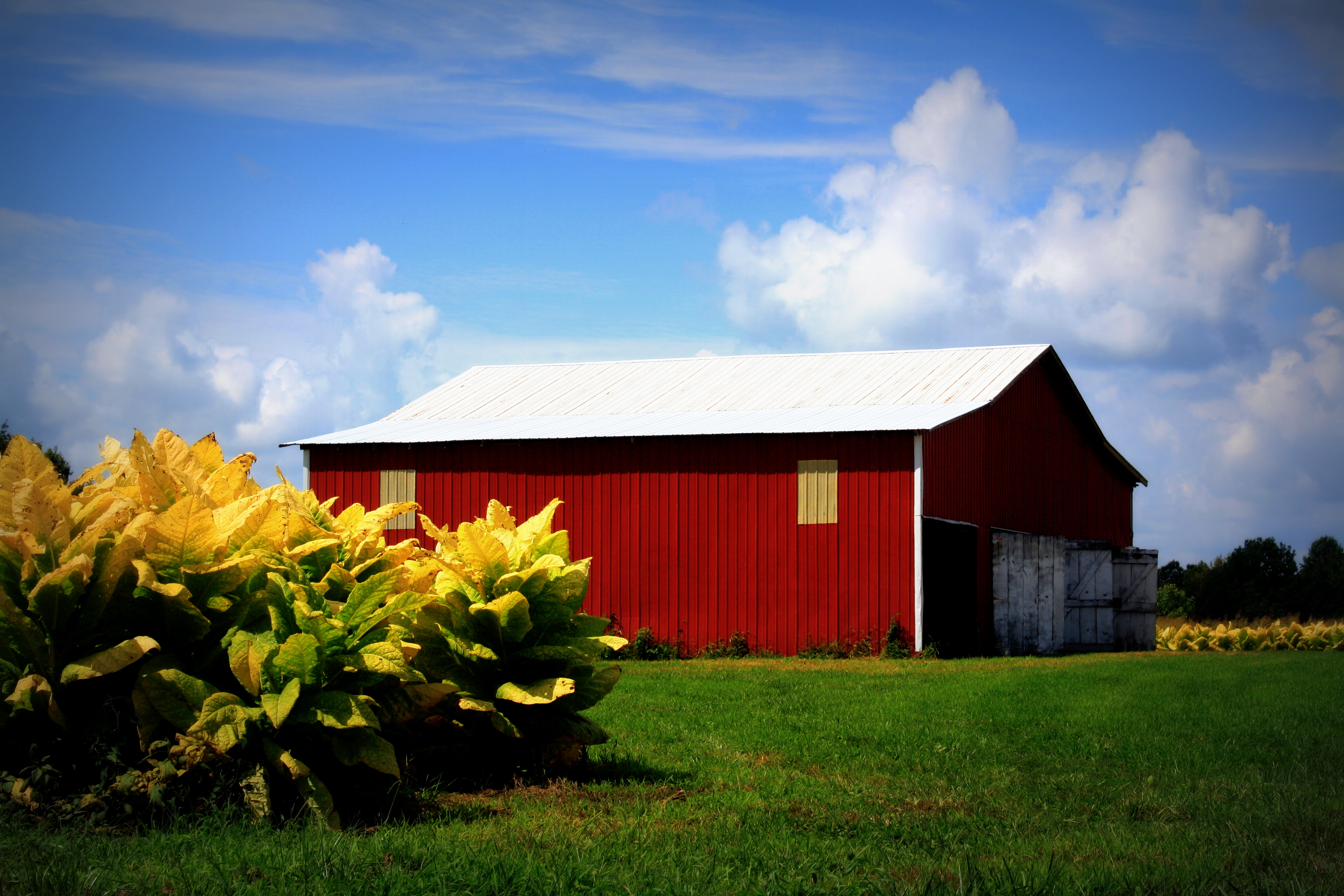
Tobacco crop & Barn

Green River Lake

Green River Lake

Indian Ridge Campground, Campbellsville, KY

Indian Ridge Campground, Campbellsville, KY

sunset on the Green River

Mini Waterfall
Topographic Map of Burdick School Rd, Campbellsville, KY, USA
Find elevation by address:

Places near Burdick School Rd, Campbellsville, KY, USA:
Campbellsville
Taylor County
Campbellsville
Elk Horn
Elkhorn Rd, Campbellsville, KY, USA
302 Industrial Rd
240 Little Vine Church Rd
240 Little Vine Church Rd
Greensburg
272 Ferry Rd
922 Buckner Hill Rd
490 S Thurlow Rd
490 S Thurlow Rd
State Highway 2220
40 L Walker Rd
22 Summersville Rd
Summersville
Fry Ridge Rd, Greensburg, KY, USA
Acapulco Mexican Grill #2
Columbia
Recent Searches:
- Elevation of Groblershoop, South Africa
- Elevation of Power Generation Enterprises | Industrial Diesel Generators, Oak Ave, Canyon Country, CA, USA
- Elevation of Chesaw Rd, Oroville, WA, USA
- Elevation of N, Mt Pleasant, UT, USA
- Elevation of 6 Rue Jules Ferry, Beausoleil, France
- Elevation of Sattva Horizon, 4JC6+G9P, Vinayak Nagar, Kattigenahalli, Bengaluru, Karnataka, India
- Elevation of Great Brook Sports, Gold Star Hwy, Groton, CT, USA
- Elevation of 10 Mountain Laurels Dr, Nashua, NH, USA
- Elevation of 16 Gilboa Ln, Nashua, NH, USA
- Elevation of Laurel Rd, Townsend, TN, USA