Elevation of - N Co Rd, Tennessee, IL, USA
Location: United States > Illinois > Hancock County > Hancock Township >
Longitude: -90.933013
Latitude: 40.4267216
Elevation: 199m / 653feet
Barometric Pressure: 99KPa
Elevation Map:
Satellite Map:
Related Photos:

Tough Days for the Birds
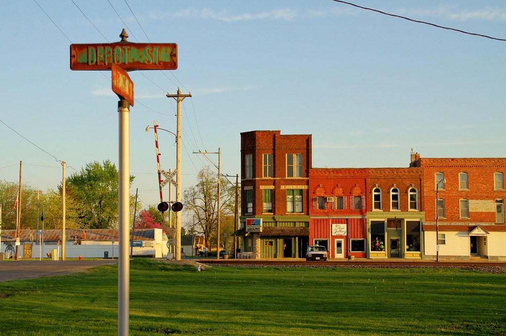
The view from Depot Street - Colchester, Illinois

Roadside Surprise

Shifty Brows!

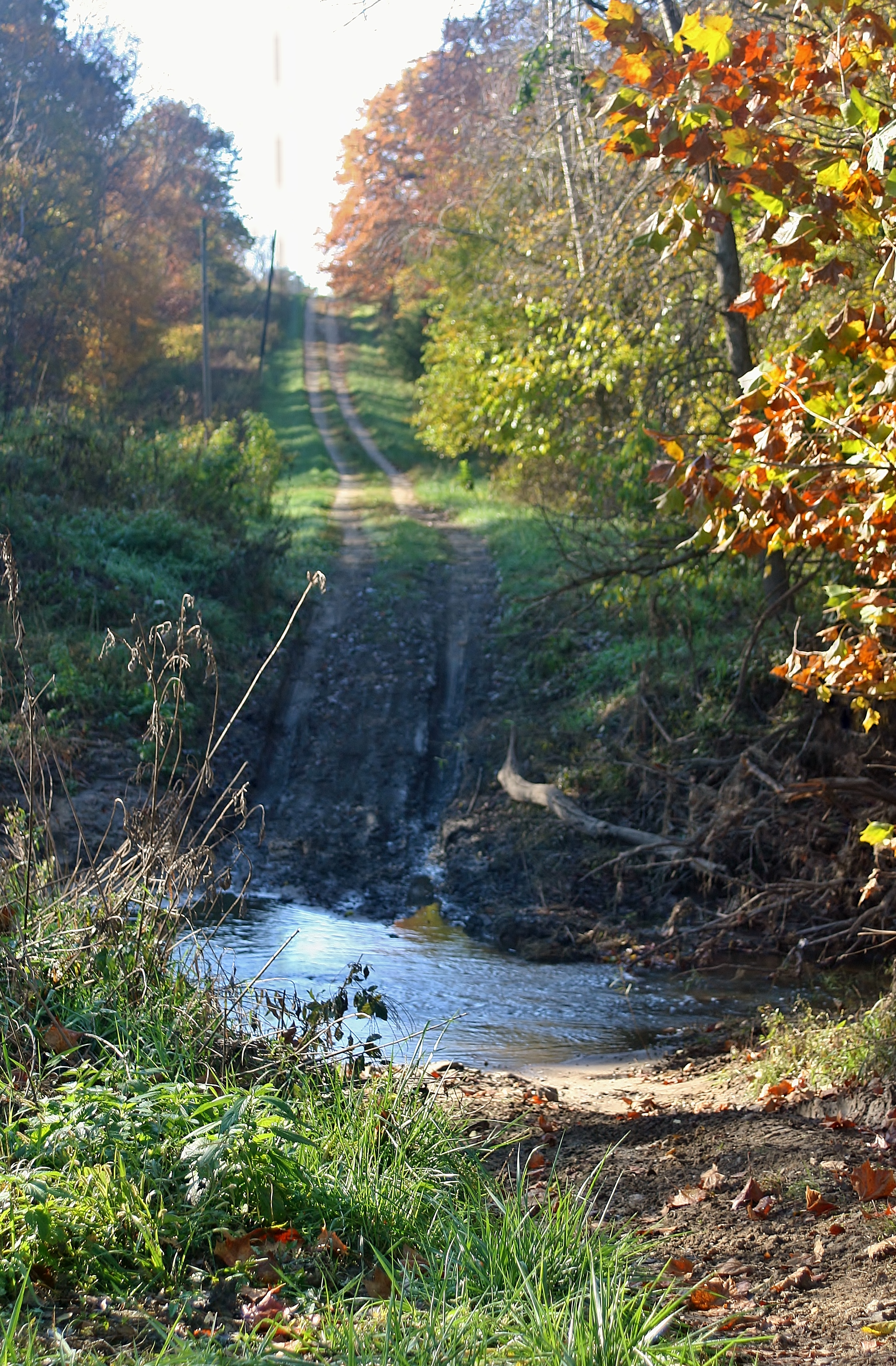
Big Rock, view upstream

Street Mural @ Chinatown

Old Saint Mary's Church

Tough Days for the Birds

Argyle Lake State Park
No Go

Argyle Trails 9-25-11

Possibility #34: Penelope at Argyle Lake 08172013

Winter at Argyle Lake

Sunset over rural McDonough County farm house
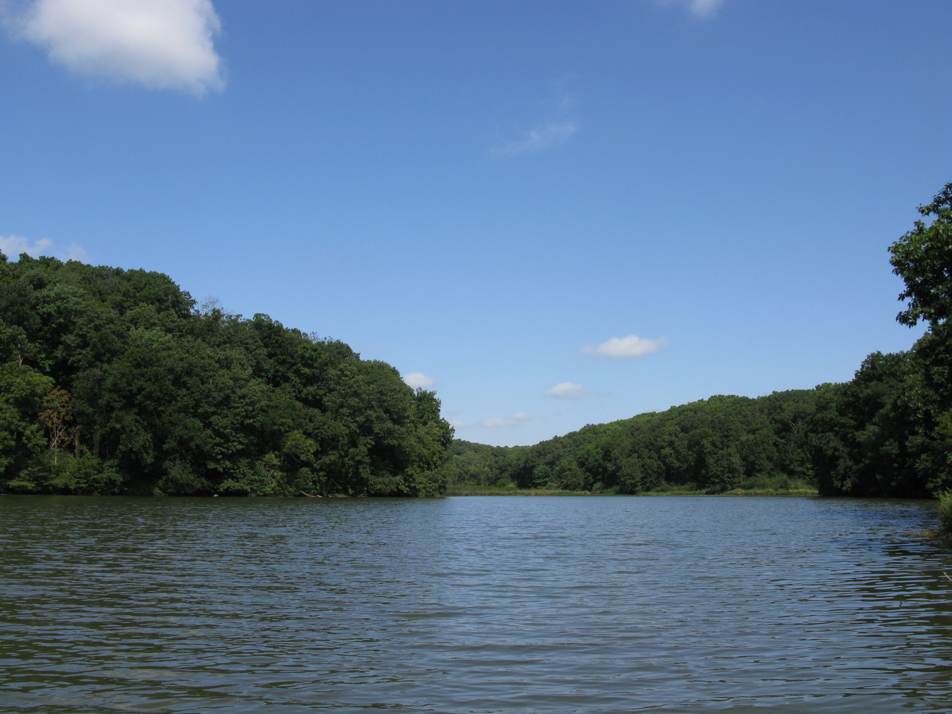
Quiet lake
2013-04-18 08.38.35

Split Cells

State Park
Dorothy, Follow the Wooden Path
Topographic Map of - N Co Rd, Tennessee, IL, USA
Find elevation by address:

Places near - N Co Rd, Tennessee, IL, USA:
Hancock Township
Colchester Township
640 Argyle Park Rd
Argyle Lake State Park
E Main St, Plymouth, IL, USA
Plymouth
Colchester
Blandinsville
E Washington St, Blandinsville, IL, USA
Carthage Township
La Harpe
E Main St, La Harpe, IL, USA
Harmony Township
N th Rd, Colchester, IL, USA
La Harpe Township
Bentley
Bentley Dr, Carthage, IL, USA
Chalmers Township
Blandinsville Township
N Madison St, Carthage, IL, USA
Recent Searches:
- Elevation map of Hadiya, Ethiopia
- Elevation of Hosaina, Ethiopia
- Elevation of Verde Terrace, North Port, FL, USA
- Elevation of US-, Leesburg, FL, USA
- Elevation of Summit Dr, Kerrville, TX, USA
- Elevation of Hanson Rd, Cedaredge, CO, USA
- Elevation of Maxine St NE, Albuquerque, NM, USA
- Elevation of Blattner Rd, Philo, CA, USA
- Elevation of Polzela, Slovenia
- Elevation of Gorod Kislovodsk, Stavropol Krai, Russia