Elevation of Hancock County, IL, USA
Location: United States > Illinois >
Longitude: -91.135302
Latitude: 40.3849365
Elevation: 207m / 679feet
Barometric Pressure: 99KPa
Elevation Map:
Satellite Map:
Related Photos:
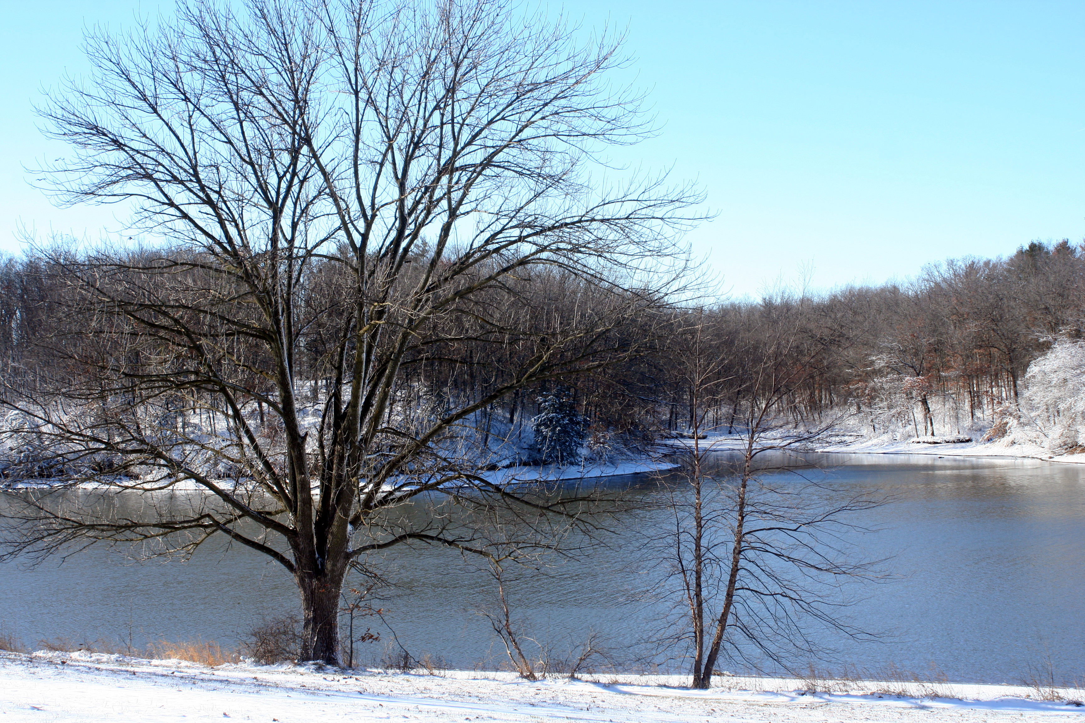
Park Road View

Joseph and Hiram Smith Statue Carthage Jail Hancock County Illinois

Iconic Fall View

Shifty Brows!

Sunset with Red Barns, Hancock County, IL

Sunset on a country road, Hancock County, IL
No Go

IMG_1482_3_4.jpg
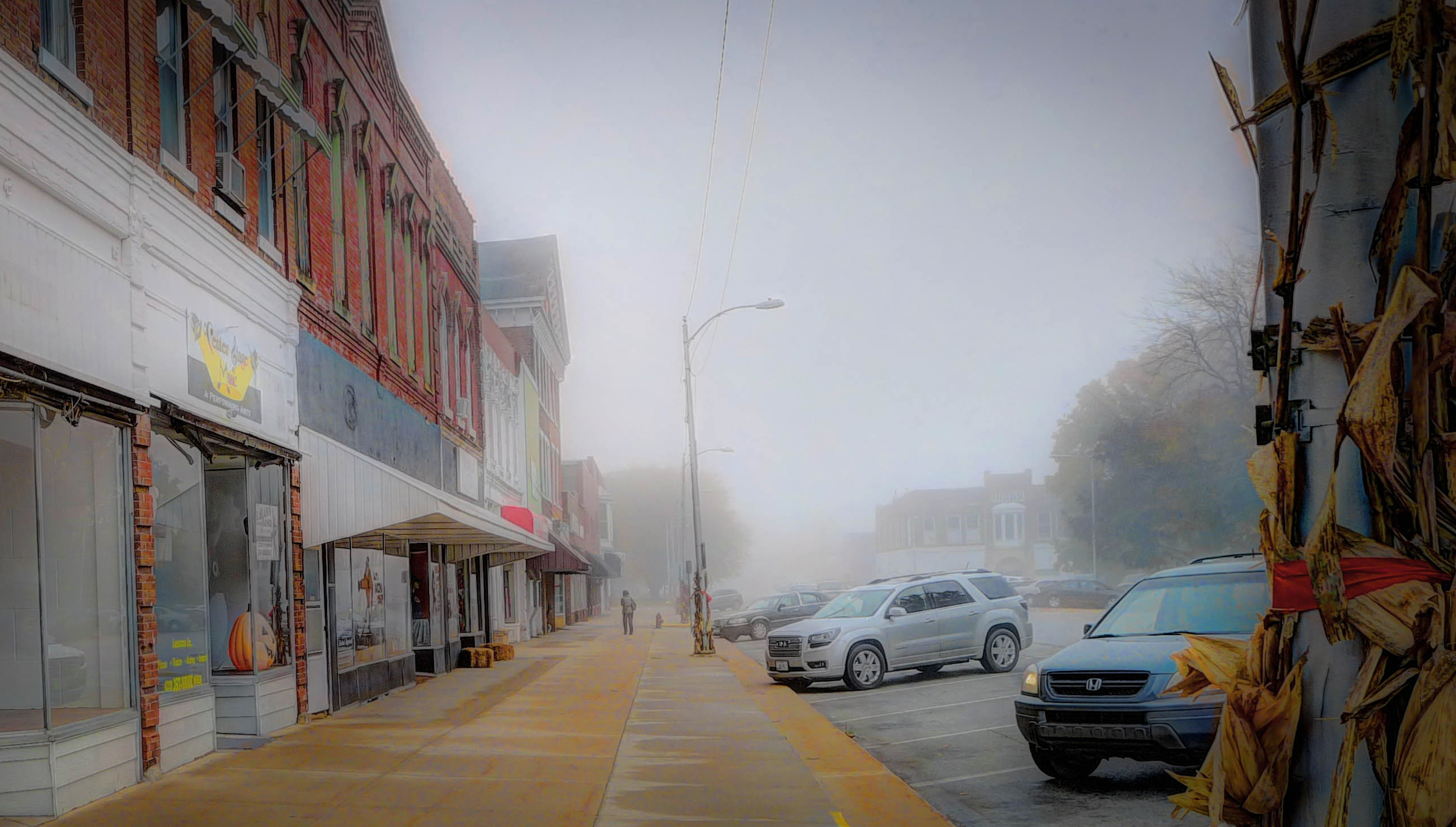
Carthage, IL in Fog
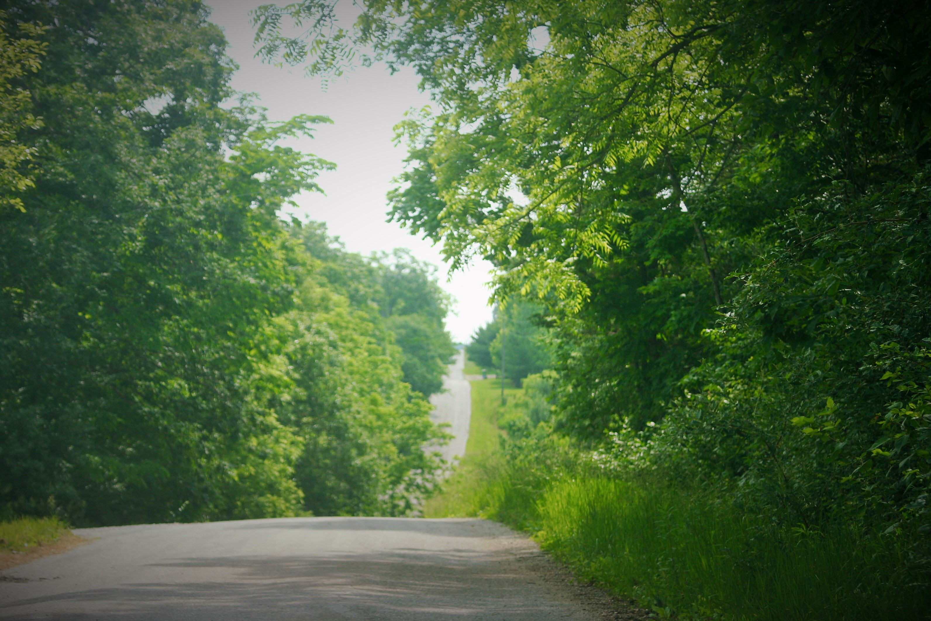
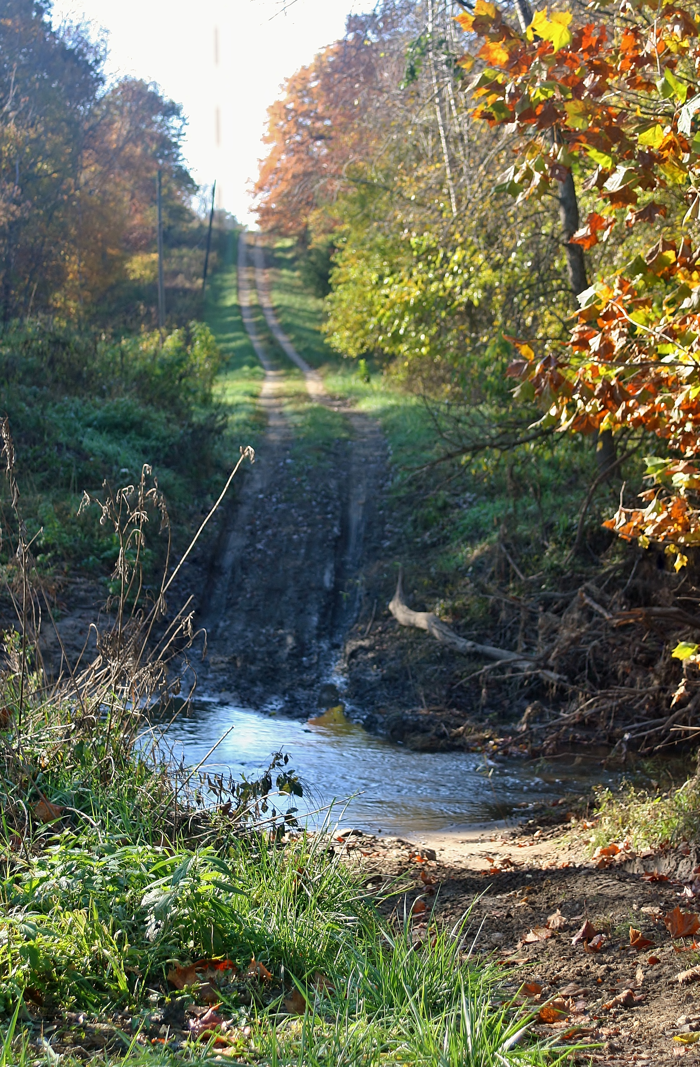
Country Road

B and B

Harmony Church, Hancock Co., IL

McHugh Rexal Drug Store, Carthage, IL

February Snow

Pop's Greasy Spoon

Harmony Church_BW

Midwest Sunset

Panorama Sunset
Topographic Map of Hancock County, IL, USA
Find elevation by address:

Places in Hancock County, IL, USA:
Warsaw Township
Bear Creek Township
Harmony Township
Bear Creek Township
Hancock Township
La Harpe Township
Carthage Township
Rock Creek Township
Nauvoo Township
Montebello Township
E Main St, Plymouth, IL, USA
Co Hwy 11, Warsaw, IL, USA
Bear Creek Township
Bear Creek Township
Pontoosuc
Places near Hancock County, IL, USA:
Carthage
N Madison St, Carthage, IL, USA
Bentley
Bentley Dr, Carthage, IL, USA
Carthage Township
Harmony Township
Bear Creek Township
Bear Creek Township
Bear Creek Township
Bear Creek Township
15 A N County Rd, Basco, IL, USA
Basco
Basco
Basco
Basco
E Co Rd, Carthage, IL, USA
Co Hwy 11, Warsaw, IL, USA
Montebello Township
Hamilton
Grand Avenue
Recent Searches:
- Elevation of Corso Fratelli Cairoli, 35, Macerata MC, Italy
- Elevation of Tallevast Rd, Sarasota, FL, USA
- Elevation of 4th St E, Sonoma, CA, USA
- Elevation of Black Hollow Rd, Pennsdale, PA, USA
- Elevation of Oakland Ave, Williamsport, PA, USA
- Elevation of Pedrógão Grande, Portugal
- Elevation of Klee Dr, Martinsburg, WV, USA
- Elevation of Via Roma, Pieranica CR, Italy
- Elevation of Tavkvetili Mountain, Georgia
- Elevation of Hartfords Bluff Cir, Mt Pleasant, SC, USA