Elevation of Hancock Township, IL, USA
Location: United States > Illinois > Hancock County >
Longitude: -90.962952
Latitude: 40.4068824
Elevation: 170m / 558feet
Barometric Pressure: 99KPa
Elevation Map:
Satellite Map:
Related Photos:
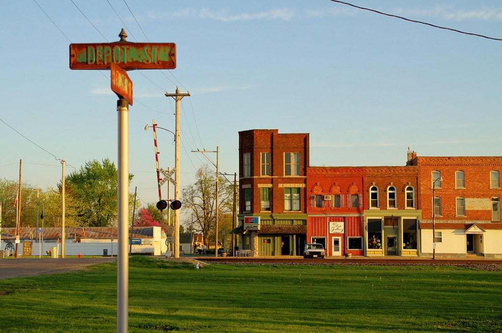
The view from Depot Street - Colchester, Illinois
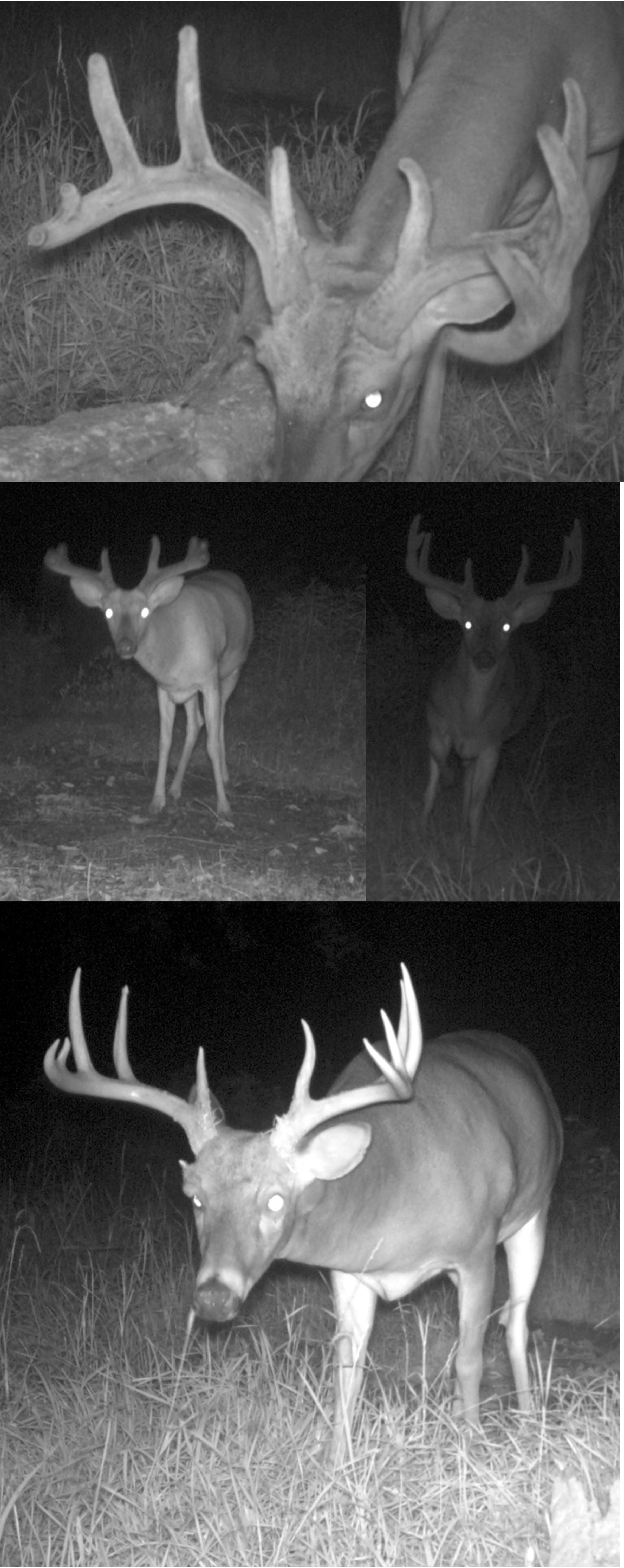
Shifty Brows!
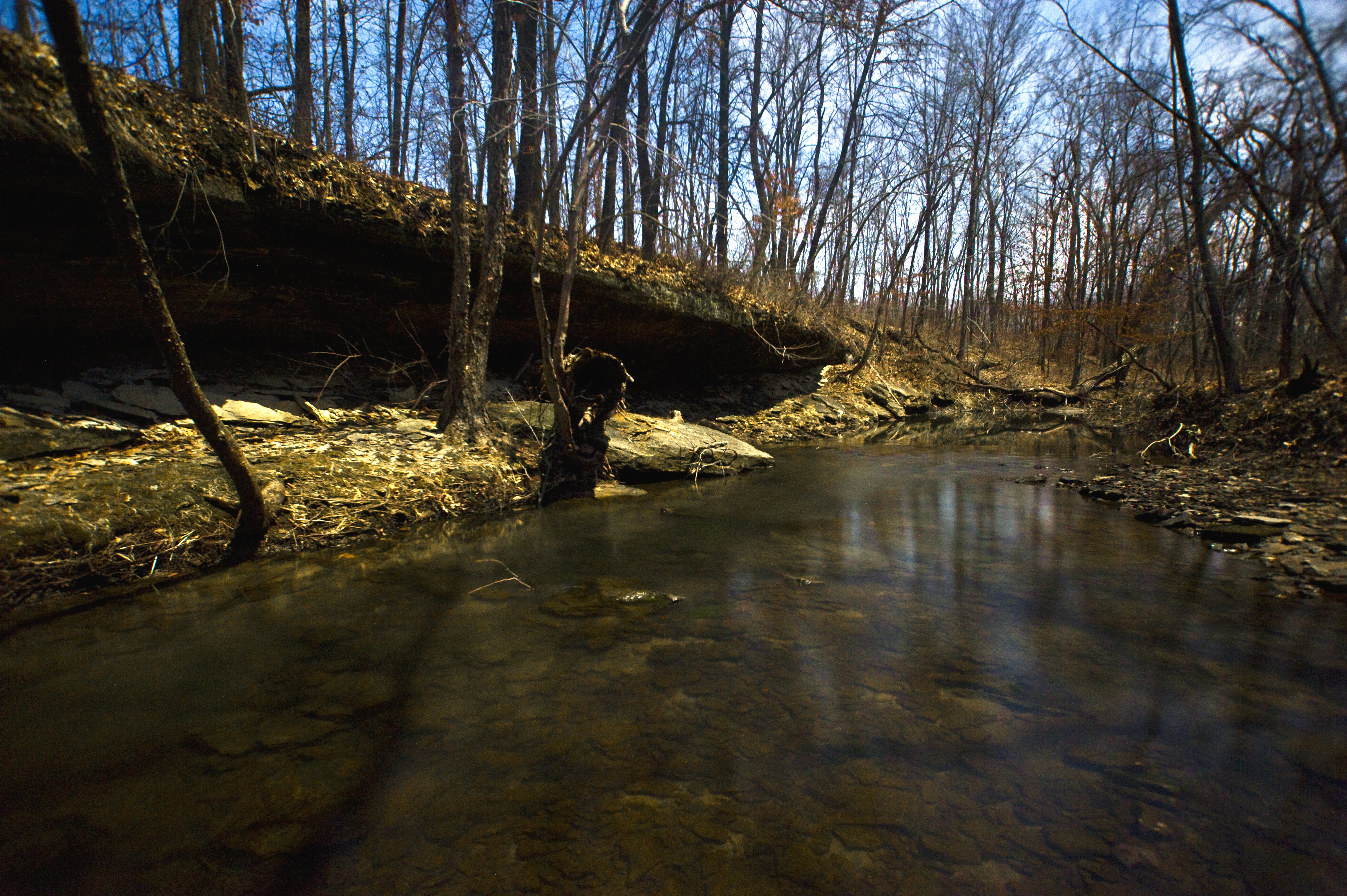
Big Rock, view upstream
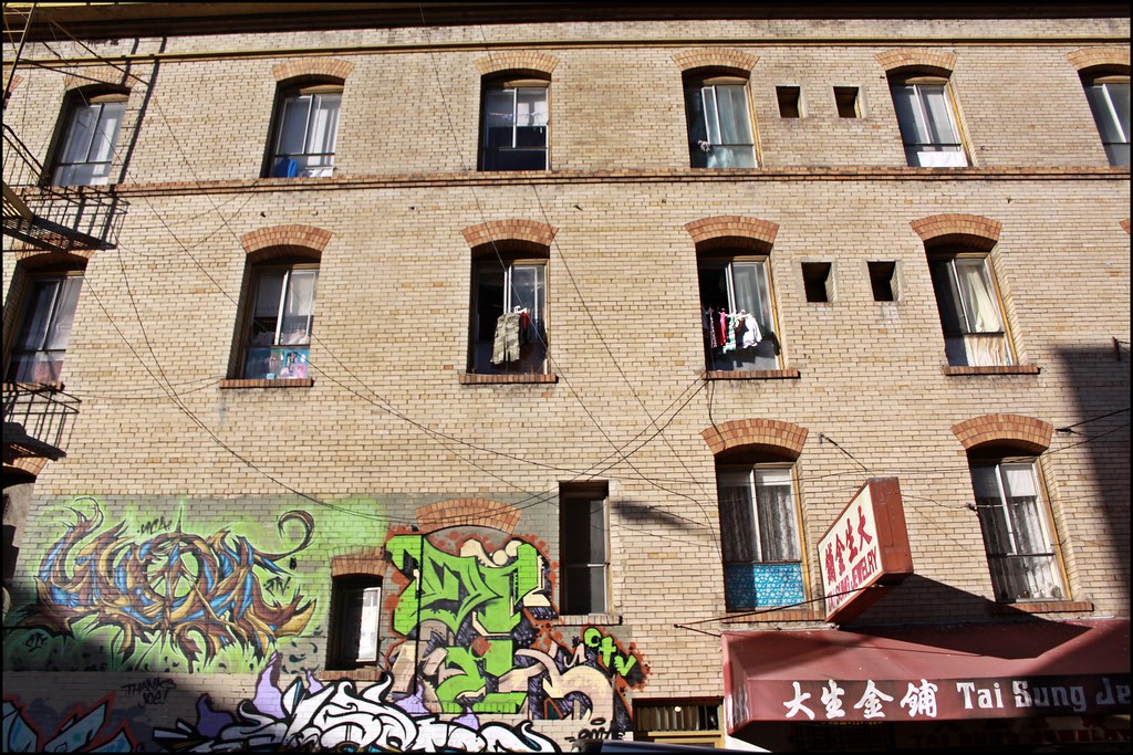
Street Mural @ Chinatown
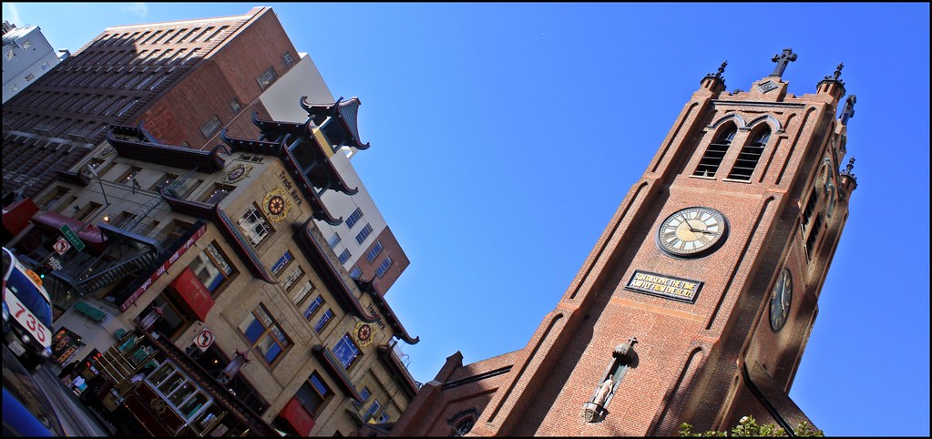
Old Saint Mary's Church

Tough Days for the Birds
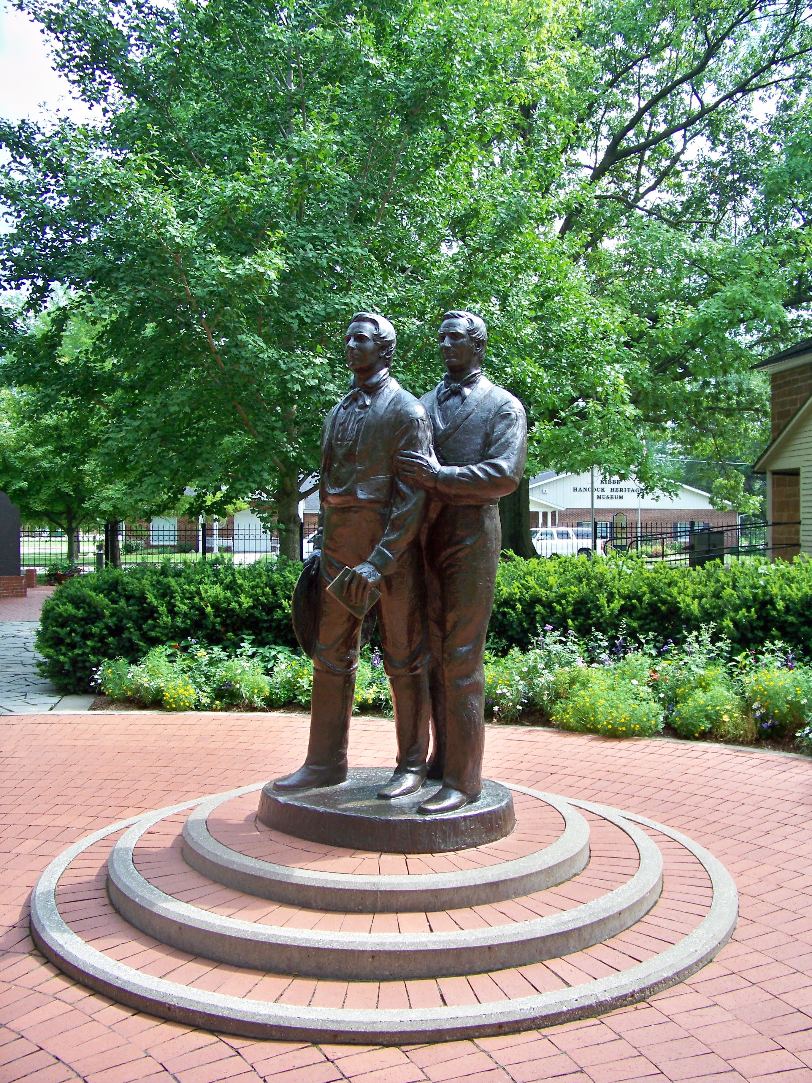
Joseph and Hiram Smith Statue Carthage Jail Hancock County Illinois

Tough Days for the Birds

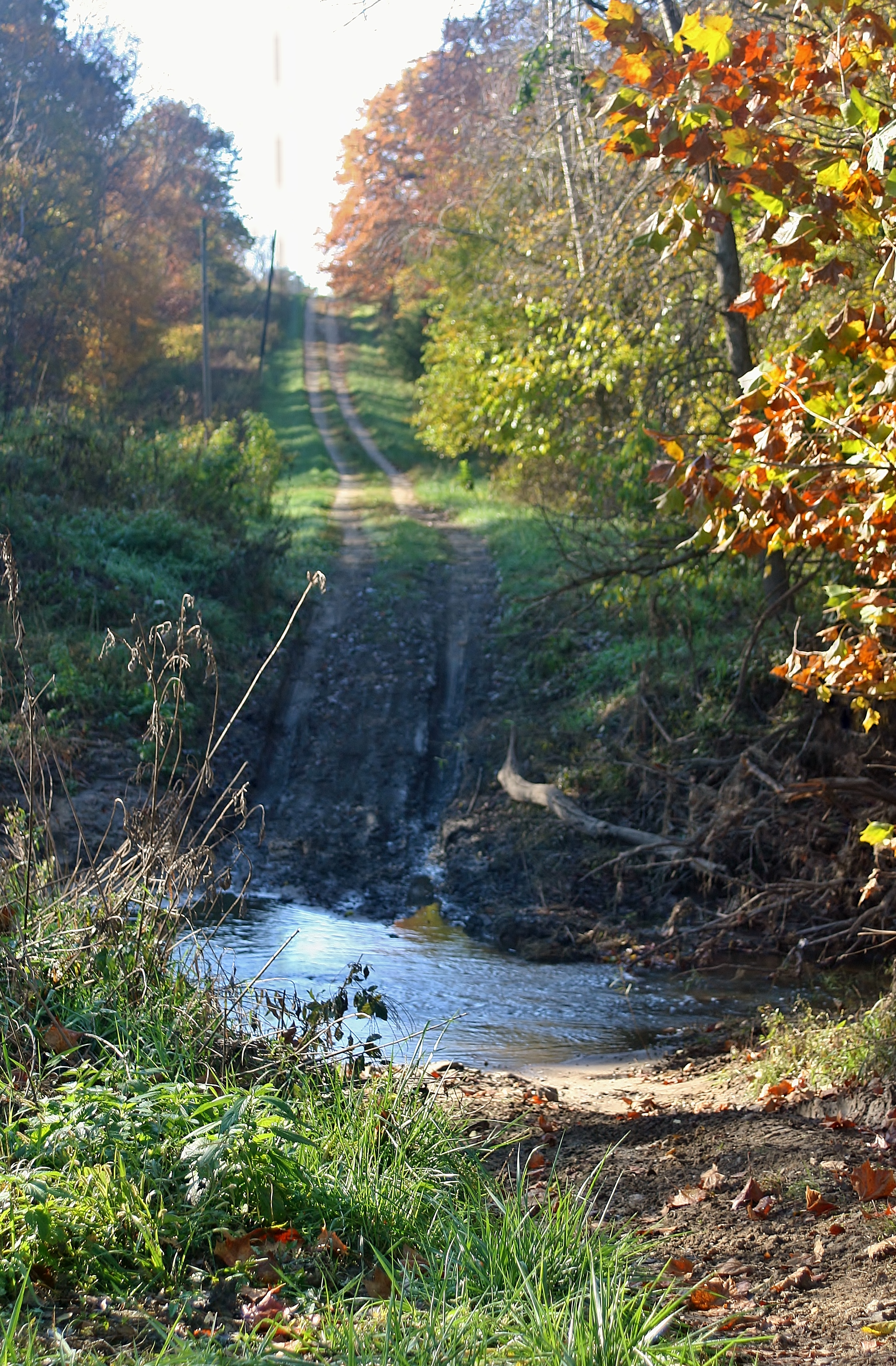
Iconic Fall View

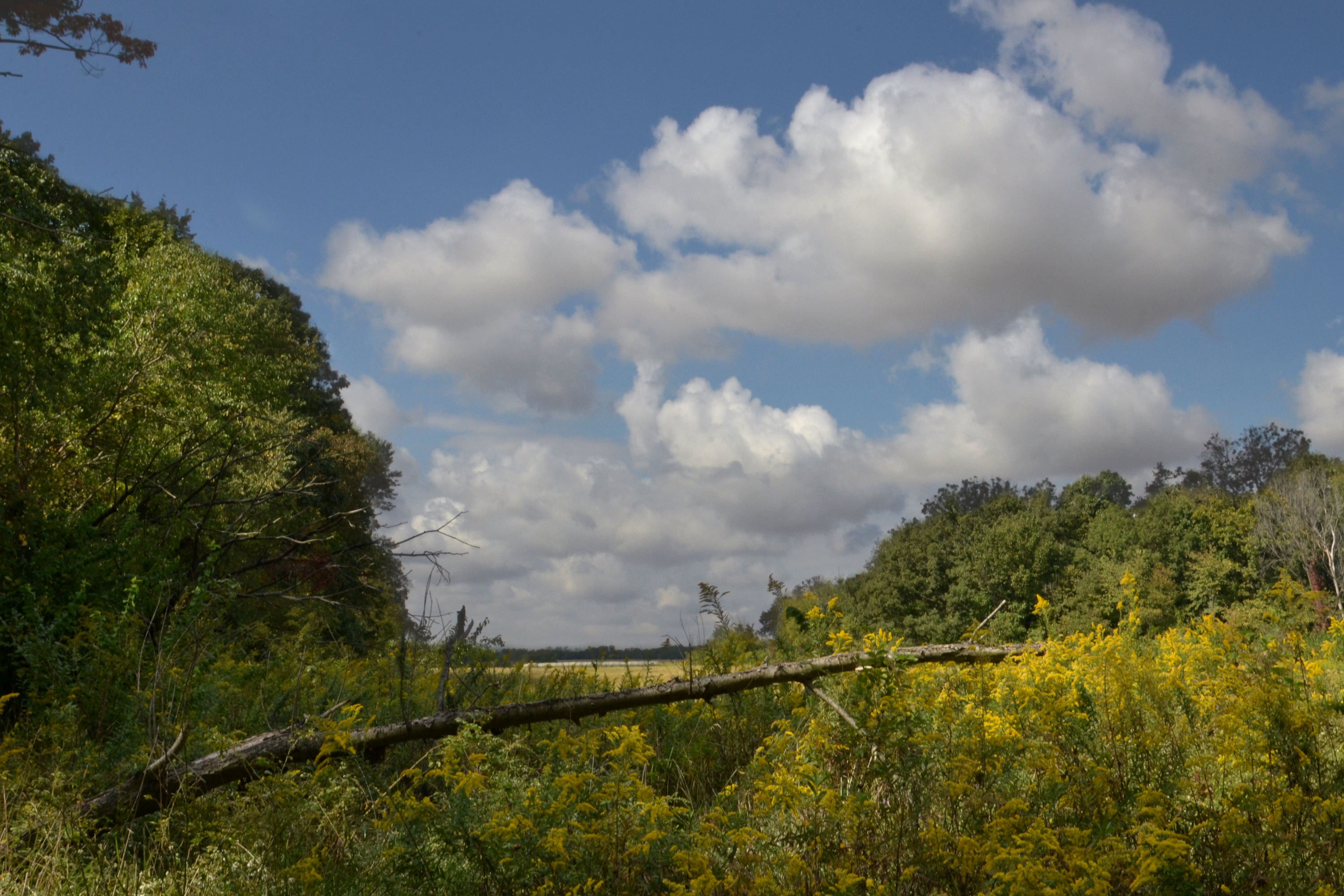
Argyle Lake State Park
No Go
Argyle Trails 9-25-11

Possibility #34: Penelope at Argyle Lake 08172013
Winter at Argyle Lake
Quiet lake
2013-04-18 08.38.35
State Park
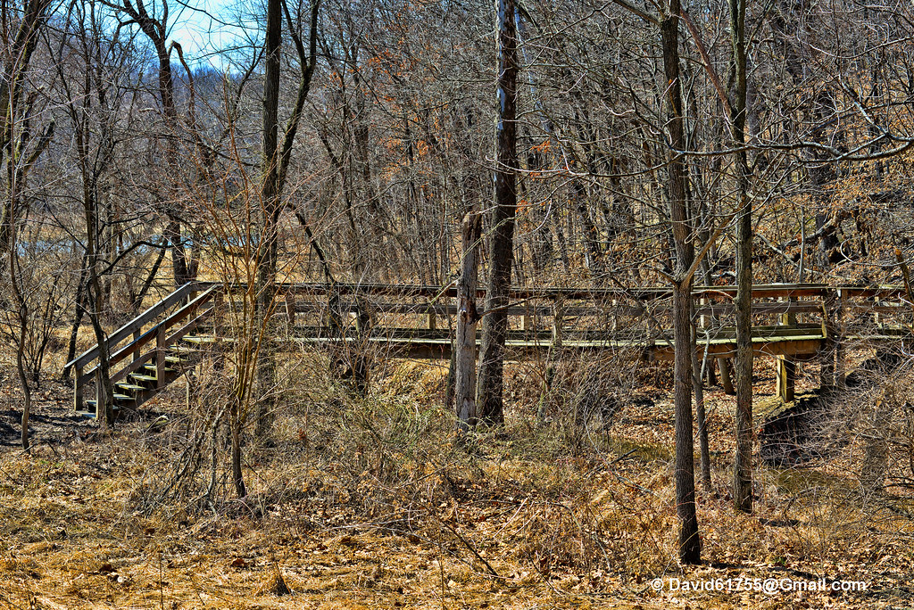
Dorothy, Follow the Wooden Path
Topographic Map of Hancock Township, IL, USA
Find elevation by address:

Places in Hancock Township, IL, USA:
Places near Hancock Township, IL, USA:
2974-2968
Carthage Township
E Main St, Plymouth, IL, USA
Plymouth
Harmony Township
Bentley
Bentley Dr, Carthage, IL, USA
Colchester Township
640 Argyle Park Rd
Argyle Lake State Park
Colchester
N Madison St, Carthage, IL, USA
Carthage
Hancock County
La Harpe
E Main St, La Harpe, IL, USA
Blandinsville
E Washington St, Blandinsville, IL, USA
E Co Rd, Carthage, IL, USA
La Harpe Township
Recent Searches:
- Elevation of Elwyn Dr, Roanoke Rapids, NC, USA
- Elevation of Congressional Dr, Stevensville, MD, USA
- Elevation of Bellview Rd, McLean, VA, USA
- Elevation of Stage Island Rd, Chatham, MA, USA
- Elevation of Shibuya Scramble Crossing, 21 Udagawacho, Shibuya City, Tokyo -, Japan
- Elevation of Jadagoniai, Kaunas District Municipality, Lithuania
- Elevation of Pagonija rock, Kranto 7-oji g. 8"N, Kaunas, Lithuania
- Elevation of Co Rd 87, Jamestown, CO, USA
- Elevation of Tenjo, Cundinamarca, Colombia
- Elevation of Côte-des-Neiges, Montreal, QC H4A 3J6, Canada