Elevation of Blandinsville, IL, USA
Location: United States > Illinois > Mcdonough County > Blandinsville Township >
Longitude: -90.865969
Latitude: 40.556152
Elevation: 221m / 725feet
Barometric Pressure: 99KPa
Elevation Map:
Satellite Map:
Related Photos:

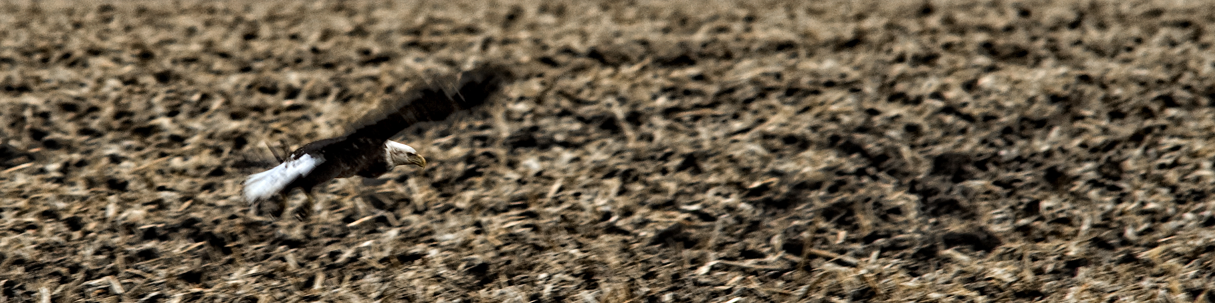
Tough Days for the Birds
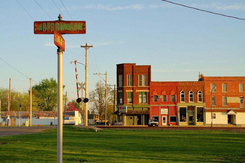
The view from Depot Street - Colchester, Illinois
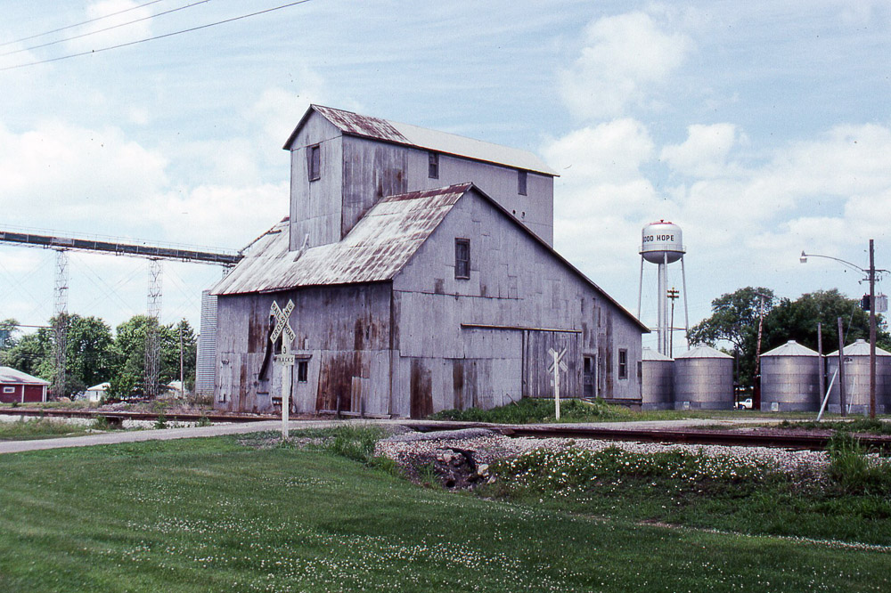
the grain elevator at Good Hope IL on the former TP&W on 6/16/91

Tough Days for the Birds
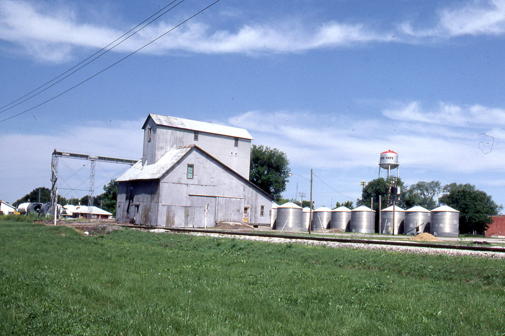
Grain elevator in Good Hope IL on the TP&W on 6/6/81.
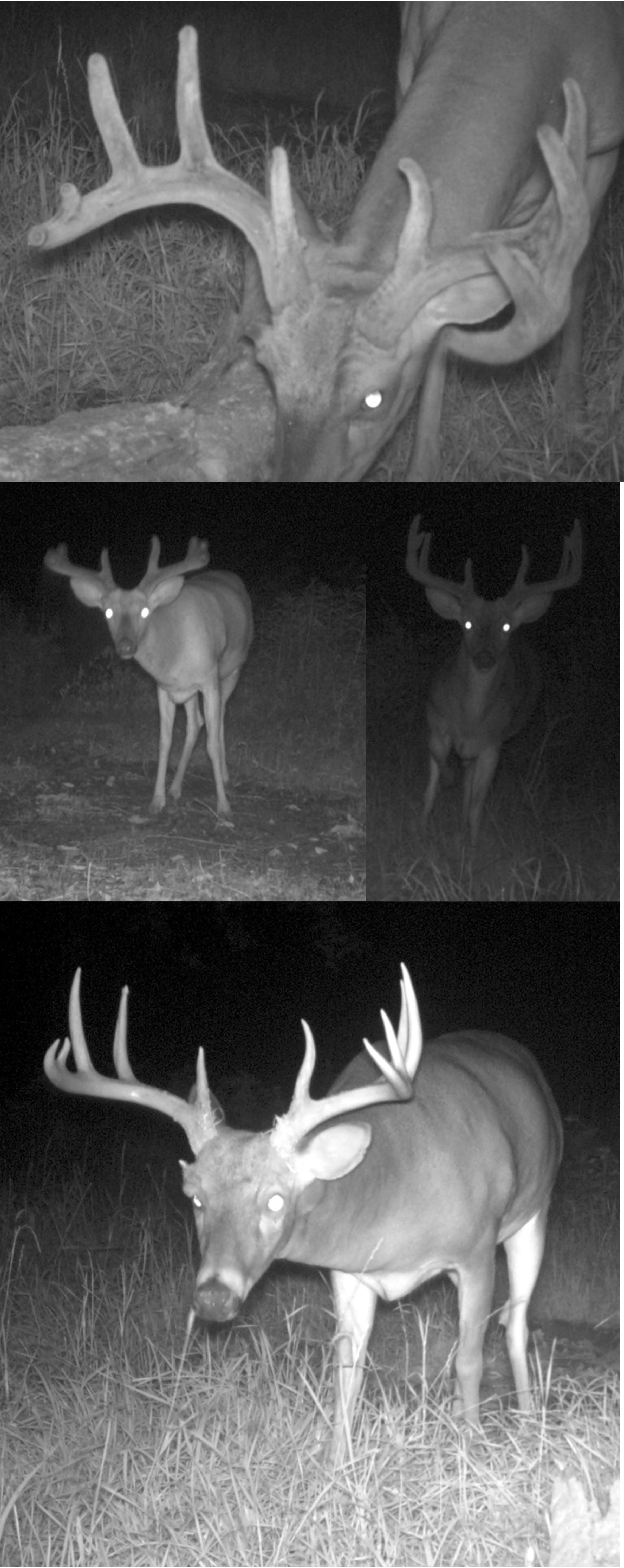
Shifty Brows!
Roadside Surprise
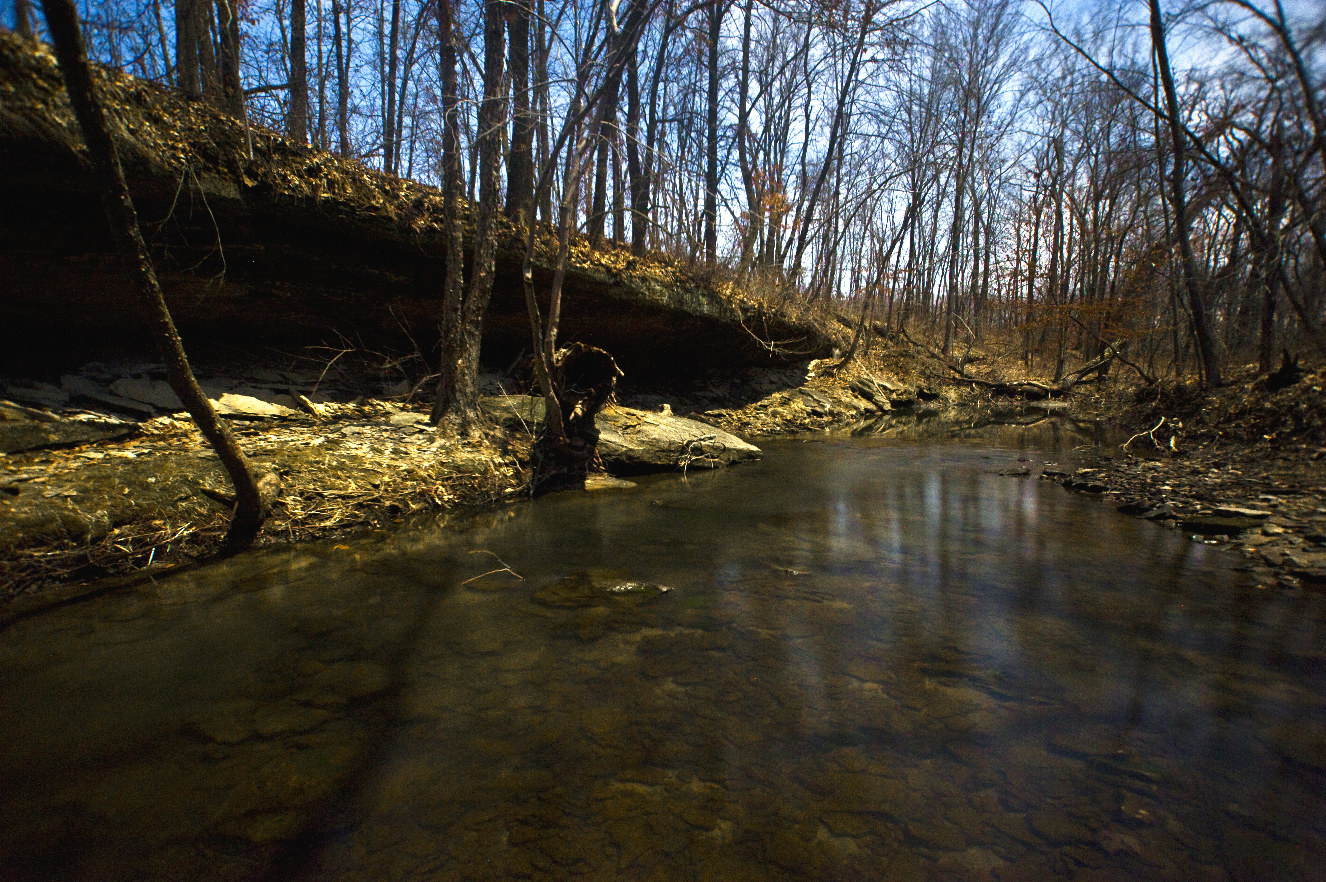
Big Rock, view upstream

Breakfast and Birding at Argyle Lake

Argyle Lake State Park
Argyle Trails 9-25-11

Possibility #34: Penelope at Argyle Lake 08172013
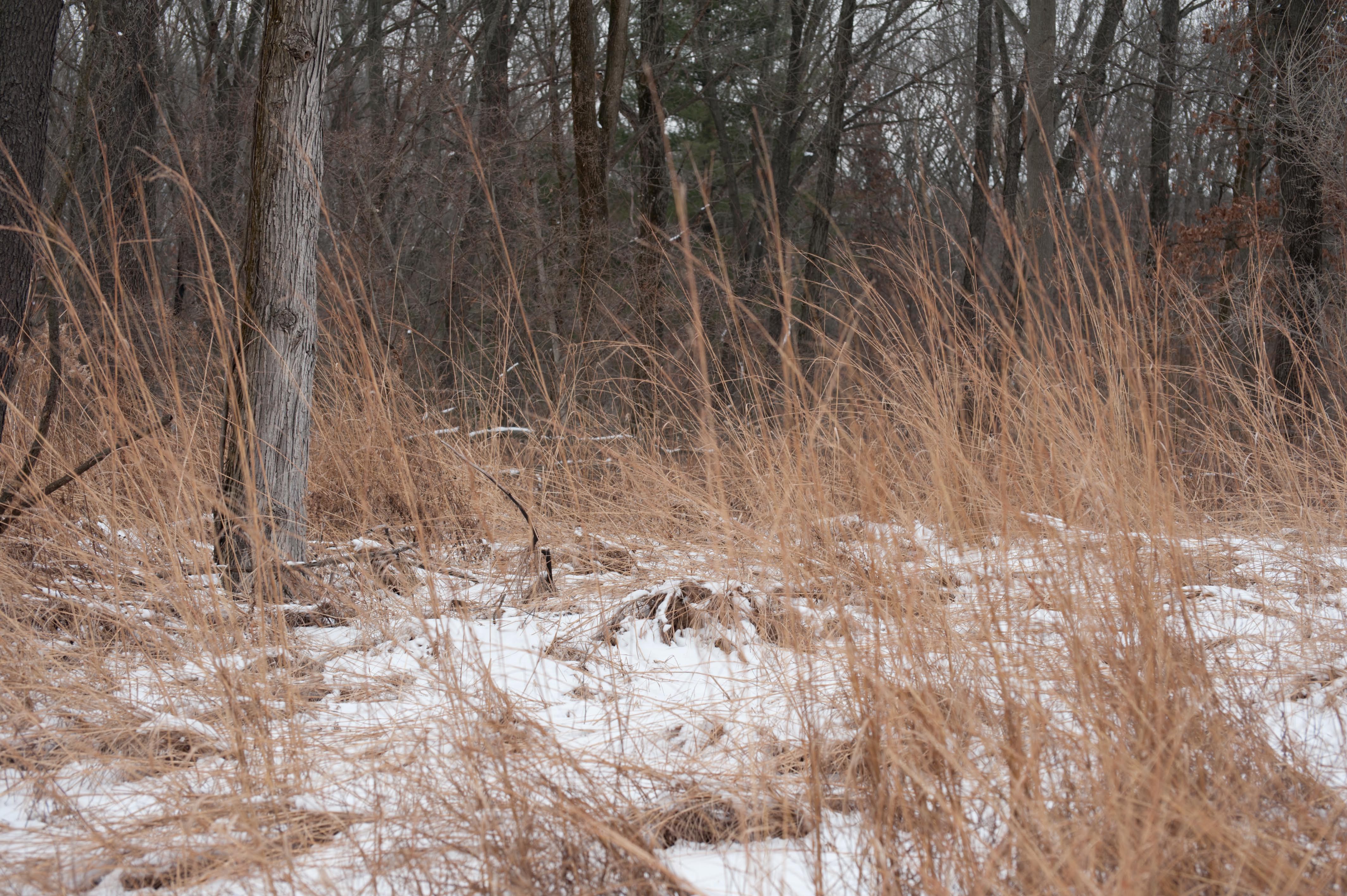
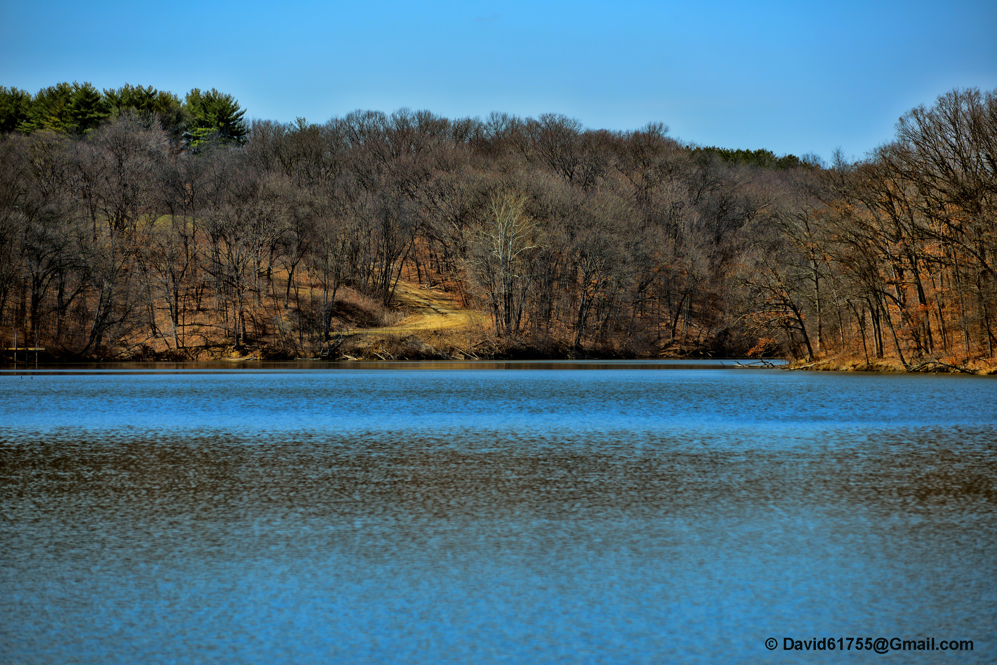
Winter at Argyle Lake
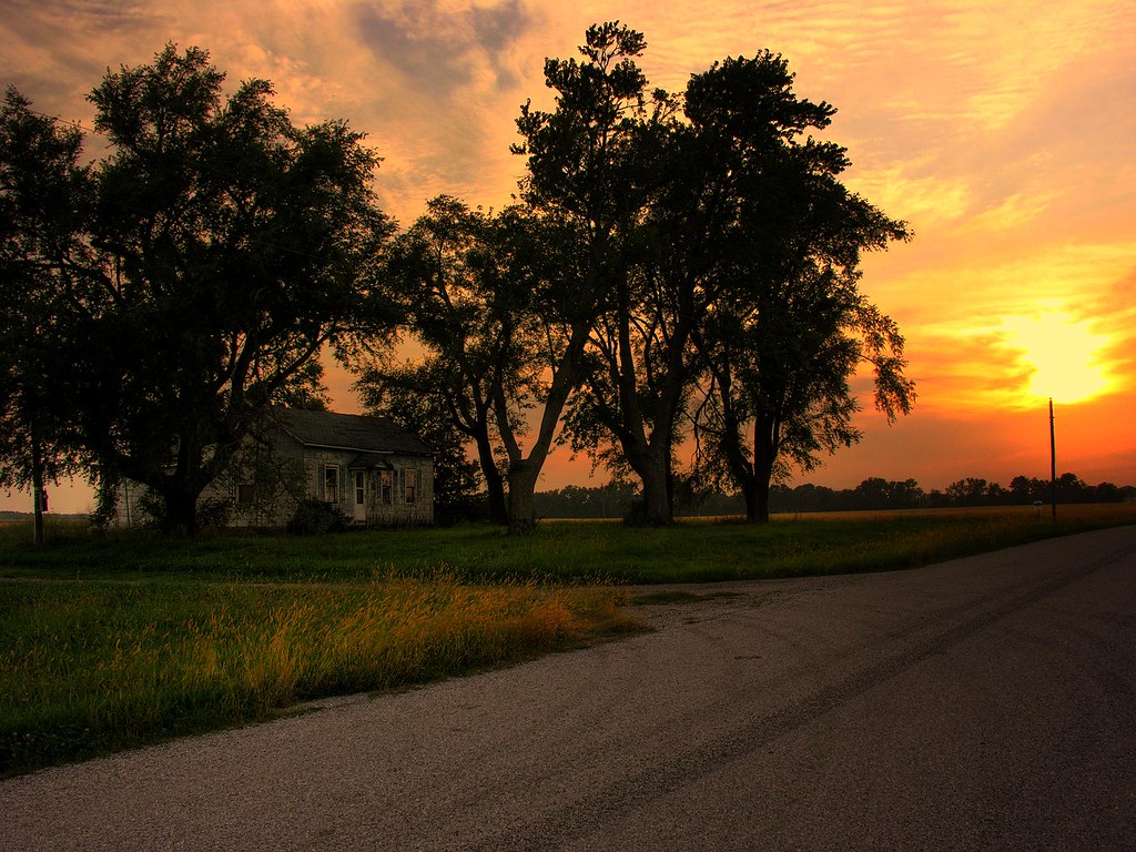
Sunset over rural McDonough County farm house
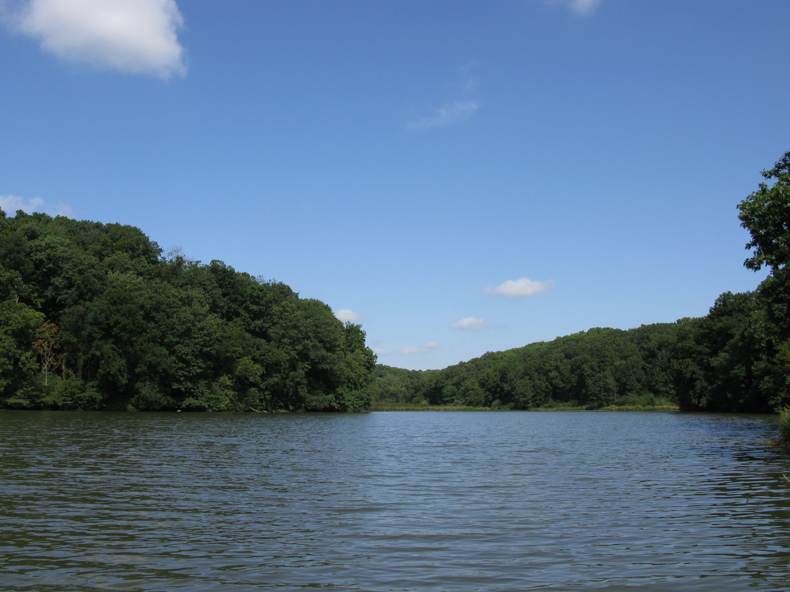
Quiet lake

Lots of old relics at the KJRY La Harpe, IL Shops

Returning to the Daily Grind

Split Cells
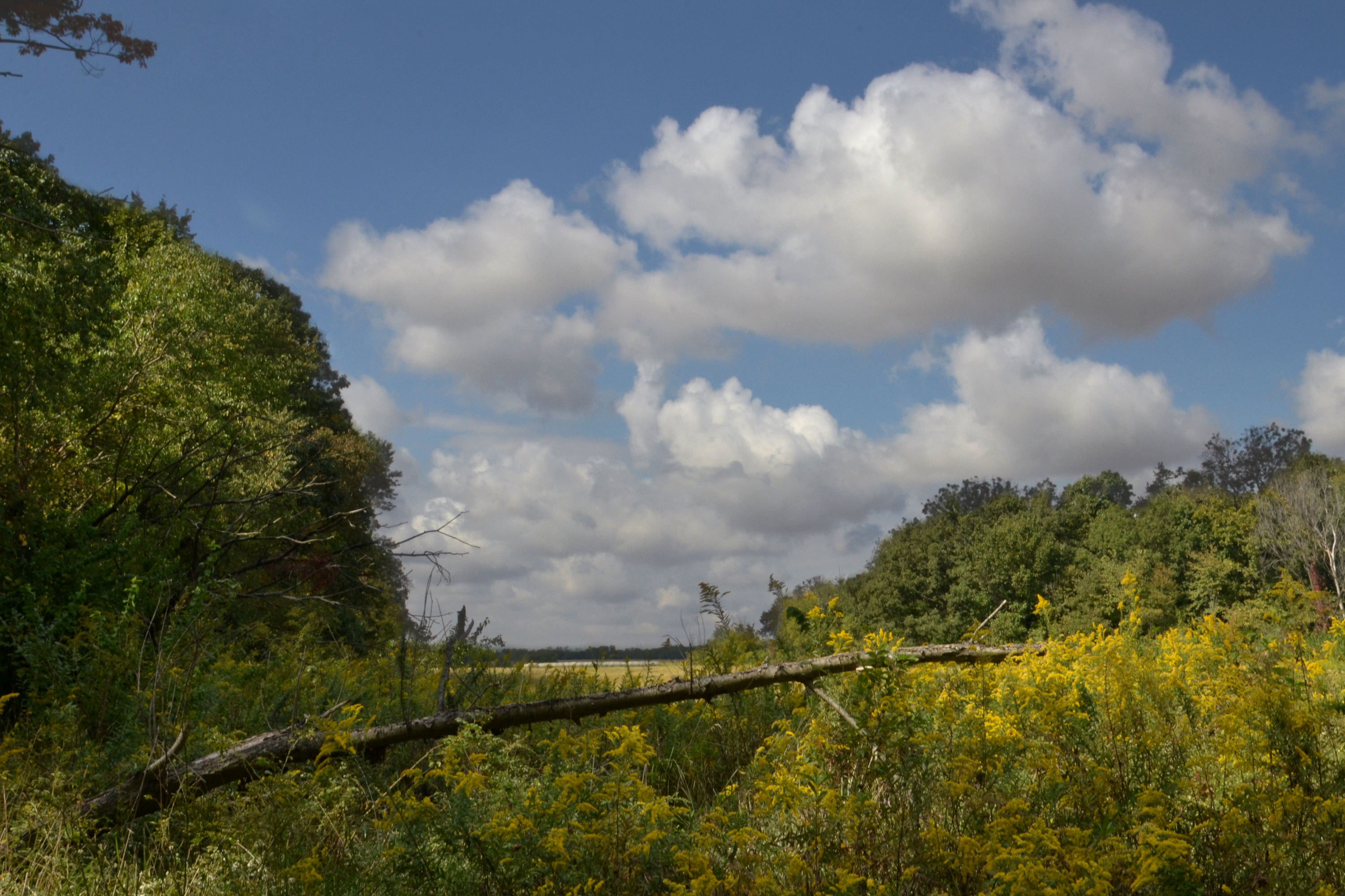
State Park
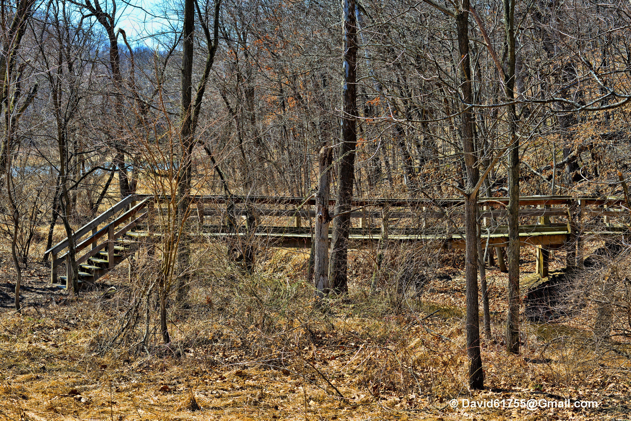
Dorothy, Follow the Wooden Path
Topographic Map of Blandinsville, IL, USA
Find elevation by address:

Places in Blandinsville, IL, USA:
Places near Blandinsville, IL, USA:
E Washington St, Blandinsville, IL, USA
Blandinsville Township
E Main St, La Harpe, IL, USA
La Harpe
La Harpe Township
County Rd E, Sciota, IL, USA
Sciota
640 Argyle Park Rd
Argyle Lake State Park
Sciota Township
Raritan Township
Raritan
Main St, Raritan, IL, USA
2974-2968
Colchester
Colchester Township
Spring Lake Park
Hancock Township
170 S Yorktown Rd
3 Woodland Ln, Macomb, IL, USA
Recent Searches:
- Elevation map of Hadiya, Ethiopia
- Elevation of Hosaina, Ethiopia
- Elevation of Verde Terrace, North Port, FL, USA
- Elevation of US-, Leesburg, FL, USA
- Elevation of Summit Dr, Kerrville, TX, USA
- Elevation of Hanson Rd, Cedaredge, CO, USA
- Elevation of Maxine St NE, Albuquerque, NM, USA
- Elevation of Blattner Rd, Philo, CA, USA
- Elevation of Polzela, Slovenia
- Elevation of Gorod Kislovodsk, Stavropol Krai, Russia