Elevation of County Rd E, Sciota, IL, USA
Location: United States > Illinois > Mcdonough County > Sciota Township > Sciota >
Longitude: -90.751804
Latitude: 40.5605125
Elevation: 229m / 751feet
Barometric Pressure: 99KPa
Elevation Map:
Satellite Map:
Related Photos:
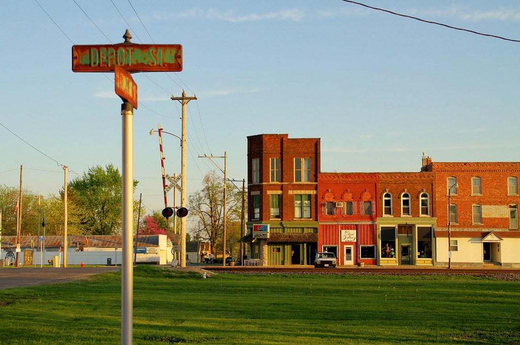
The view from Depot Street - Colchester, Illinois
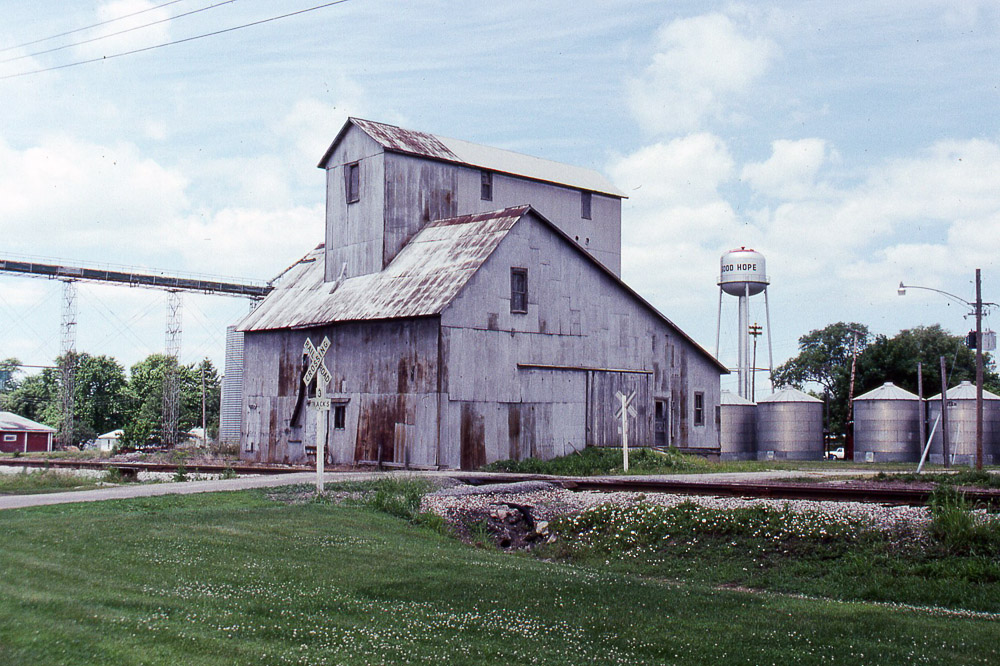
the grain elevator at Good Hope IL on the former TP&W on 6/16/91

Macomb No. 3
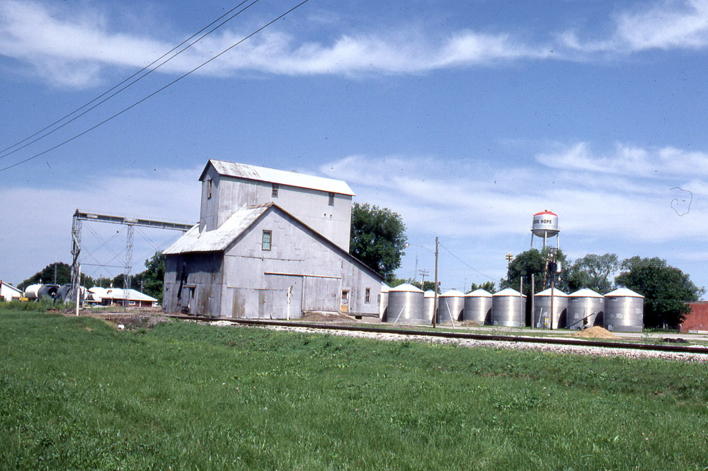
Grain elevator in Good Hope IL on the TP&W on 6/6/81.
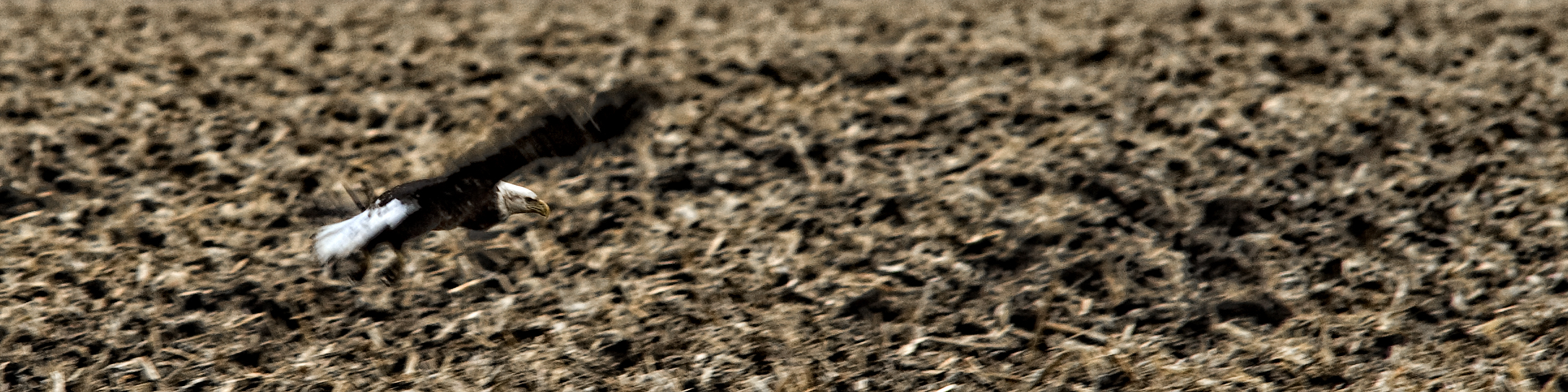
Roadside Surprise
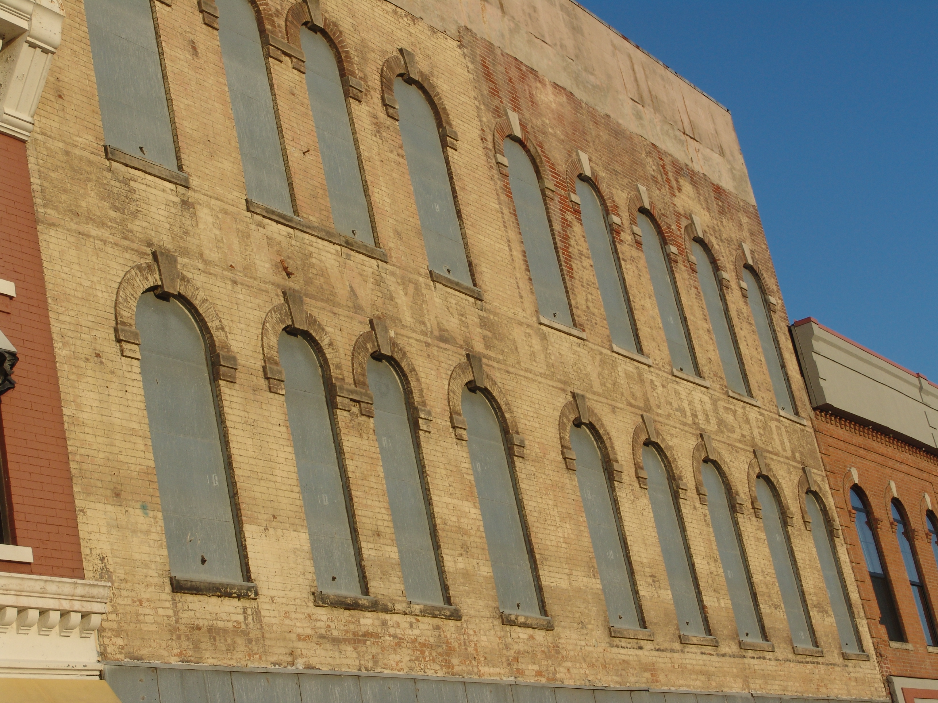
The Wyne Dry Goods Co., Macomb, IL
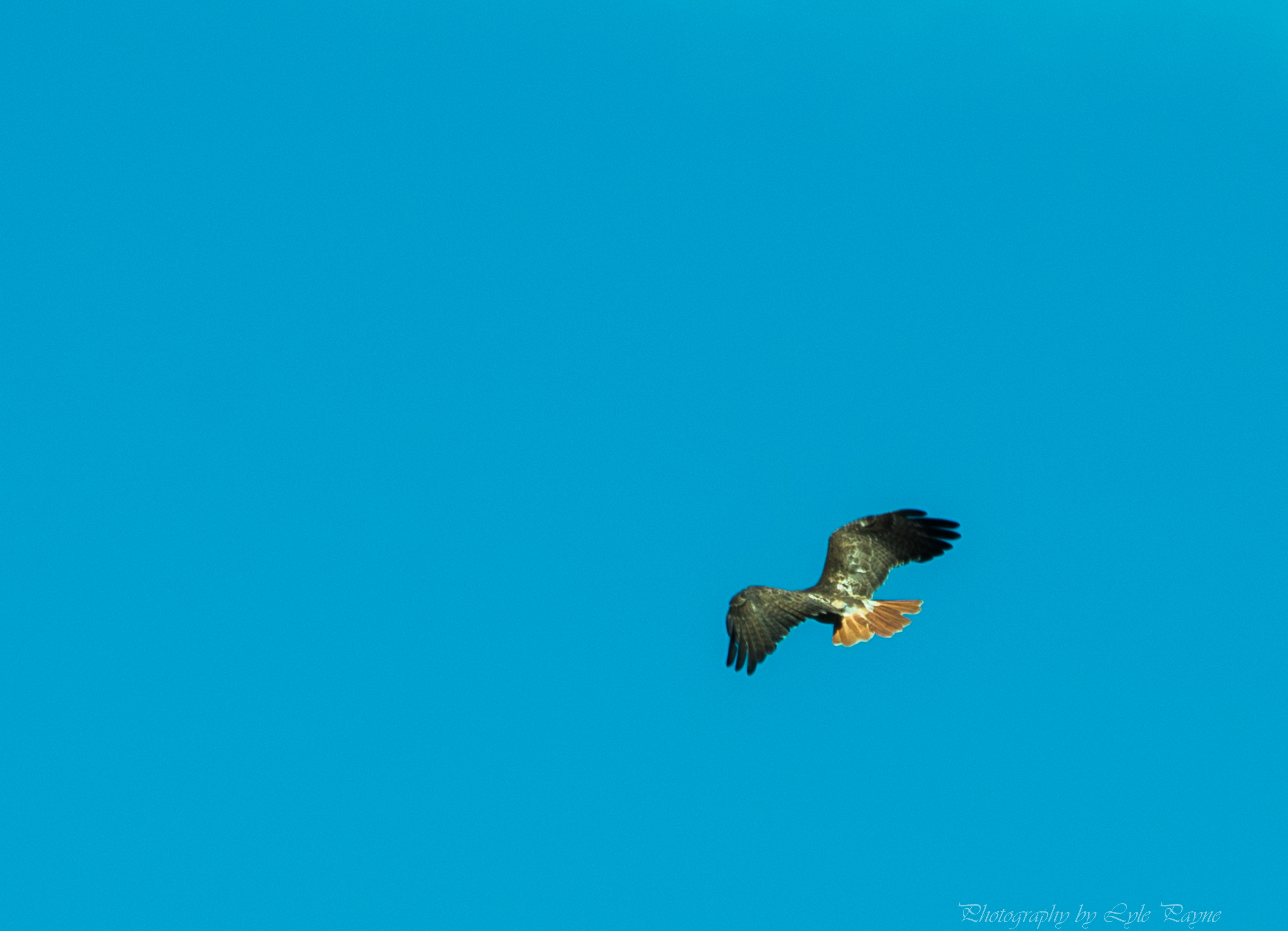
Breakfast and Birding at Argyle Lake

Studio Photography
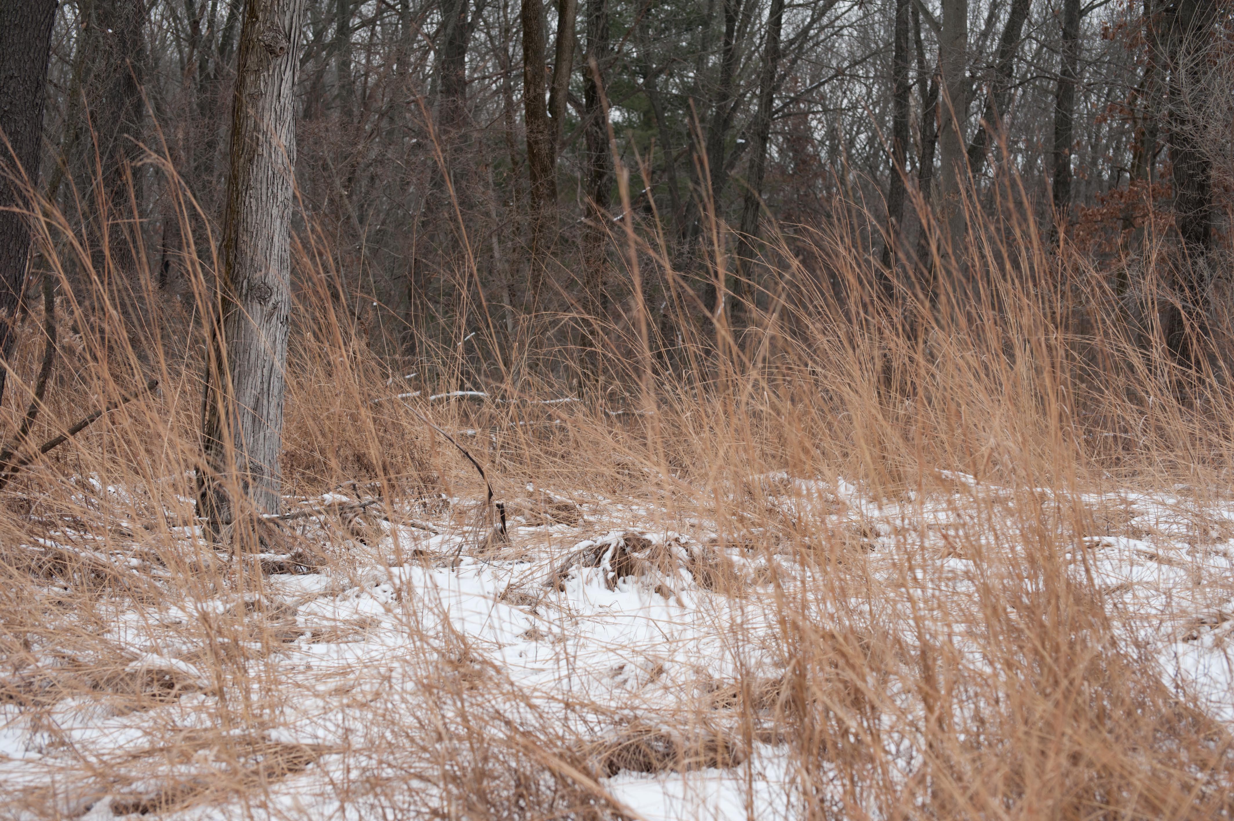
Winter at Argyle Lake

Fuck baseball well little kids baseball

Returning to the Daily Grind
Across the Road

Ancient Hump Ring: Western Berth
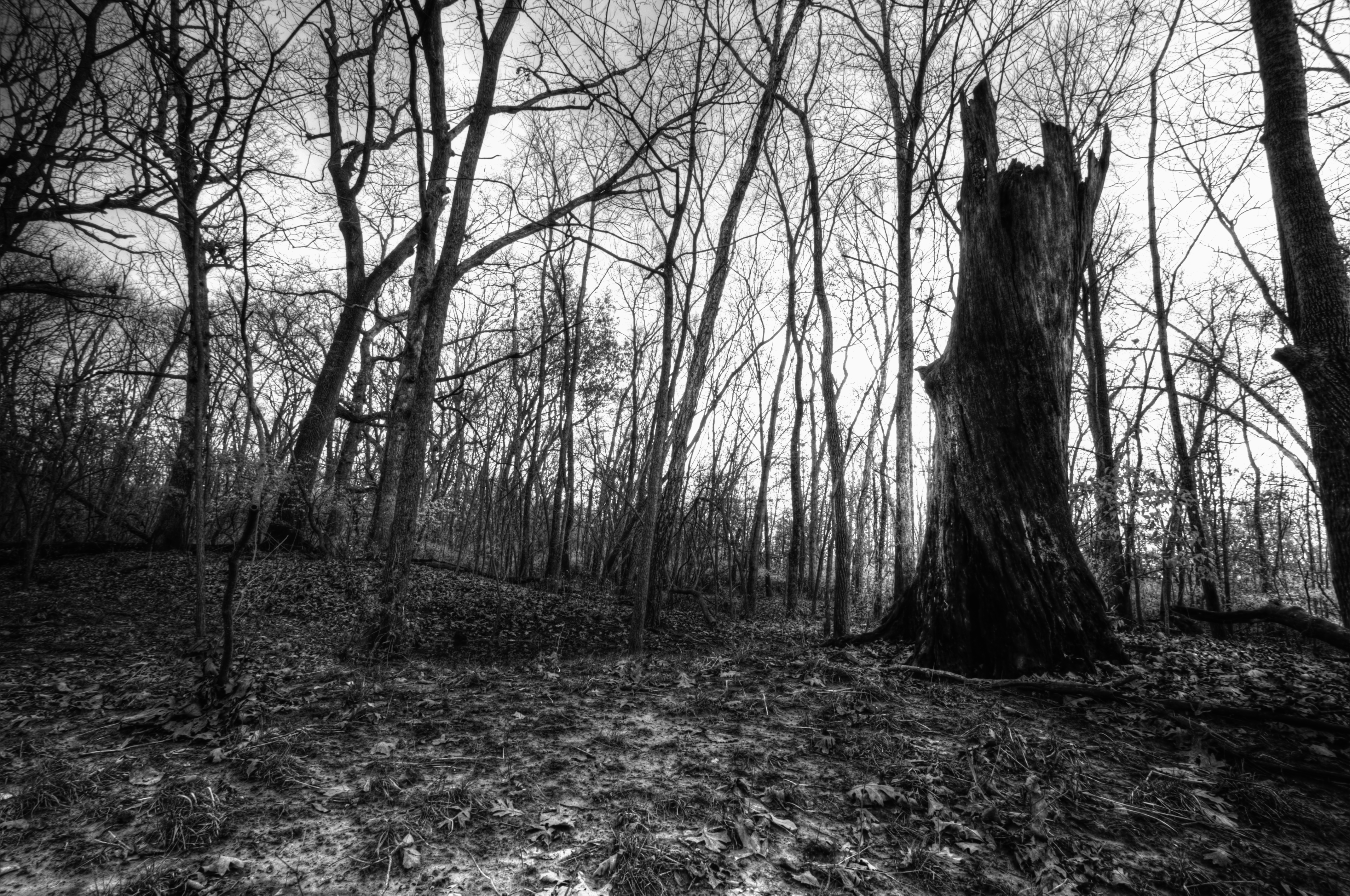
Dead Tree, La Moine River

Old Macomb Cemetery
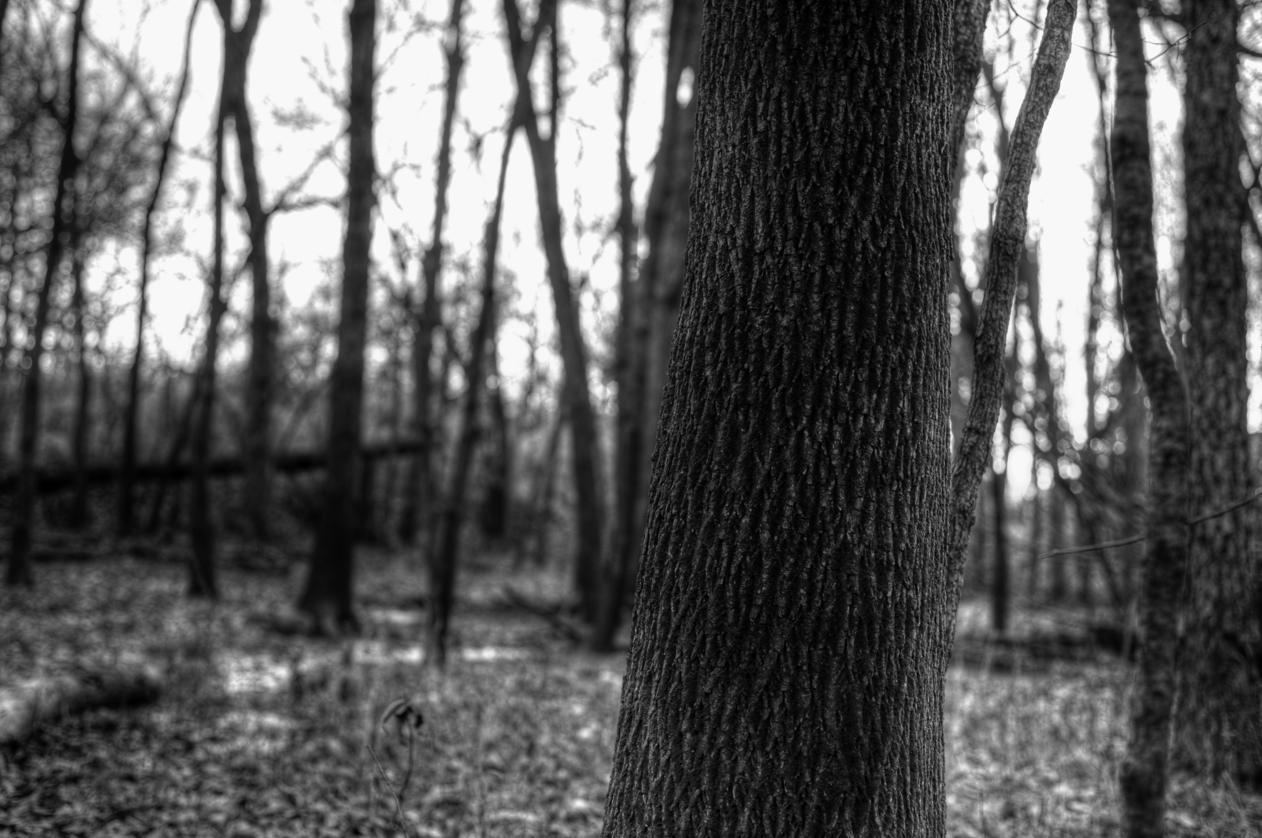
Bark Detail, La Moine River

Argyle Lake State Park
Argyle Trails 9-25-11
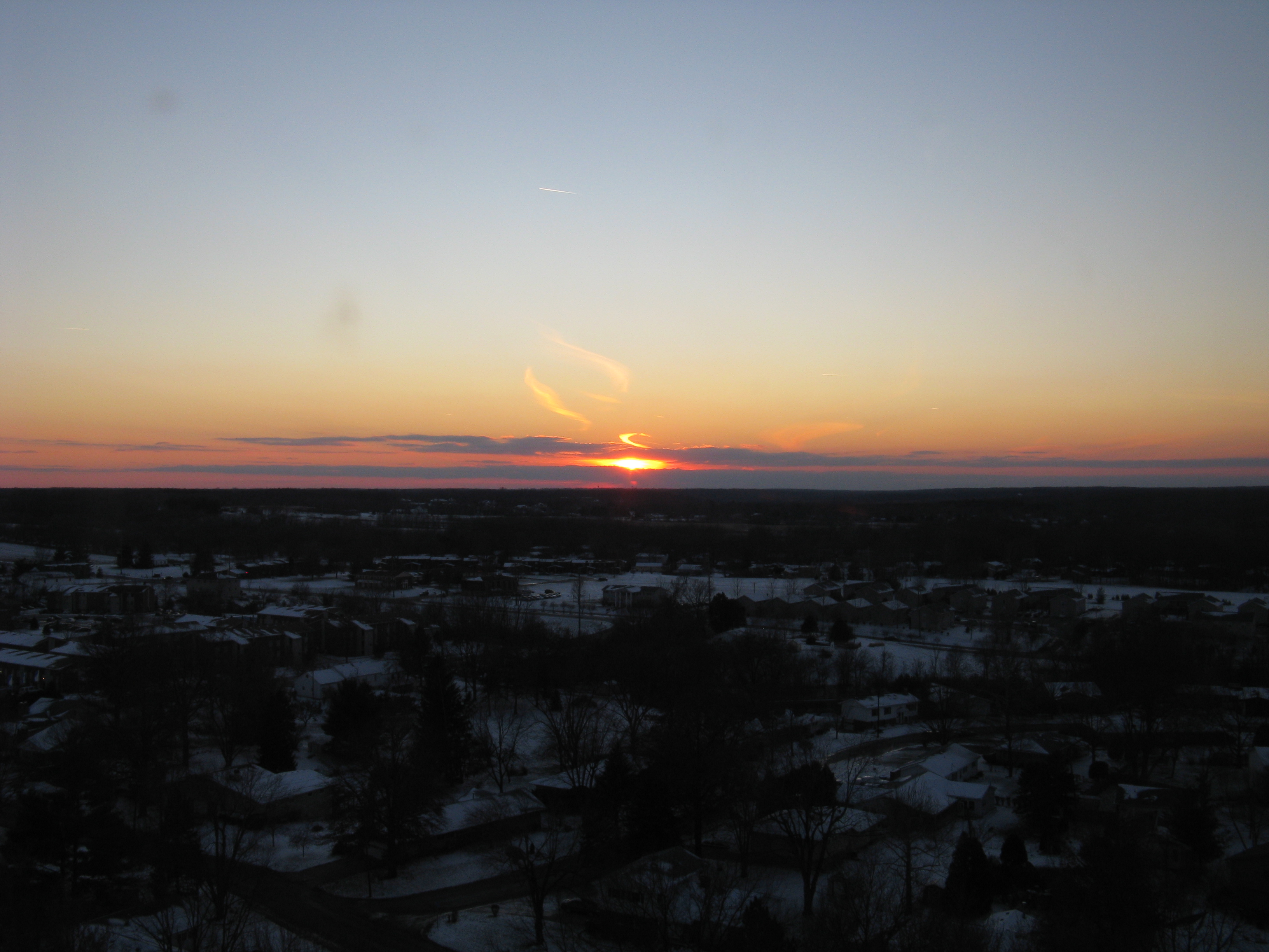
sunst from 17th floor in Macomb IL

Possibility #34: Penelope at Argyle Lake 08172013
sunst from 17th floor in Macomb IL
Corn Field Road (2007)

Landscape Version 1
sunst from 17th floor in Macomb IL
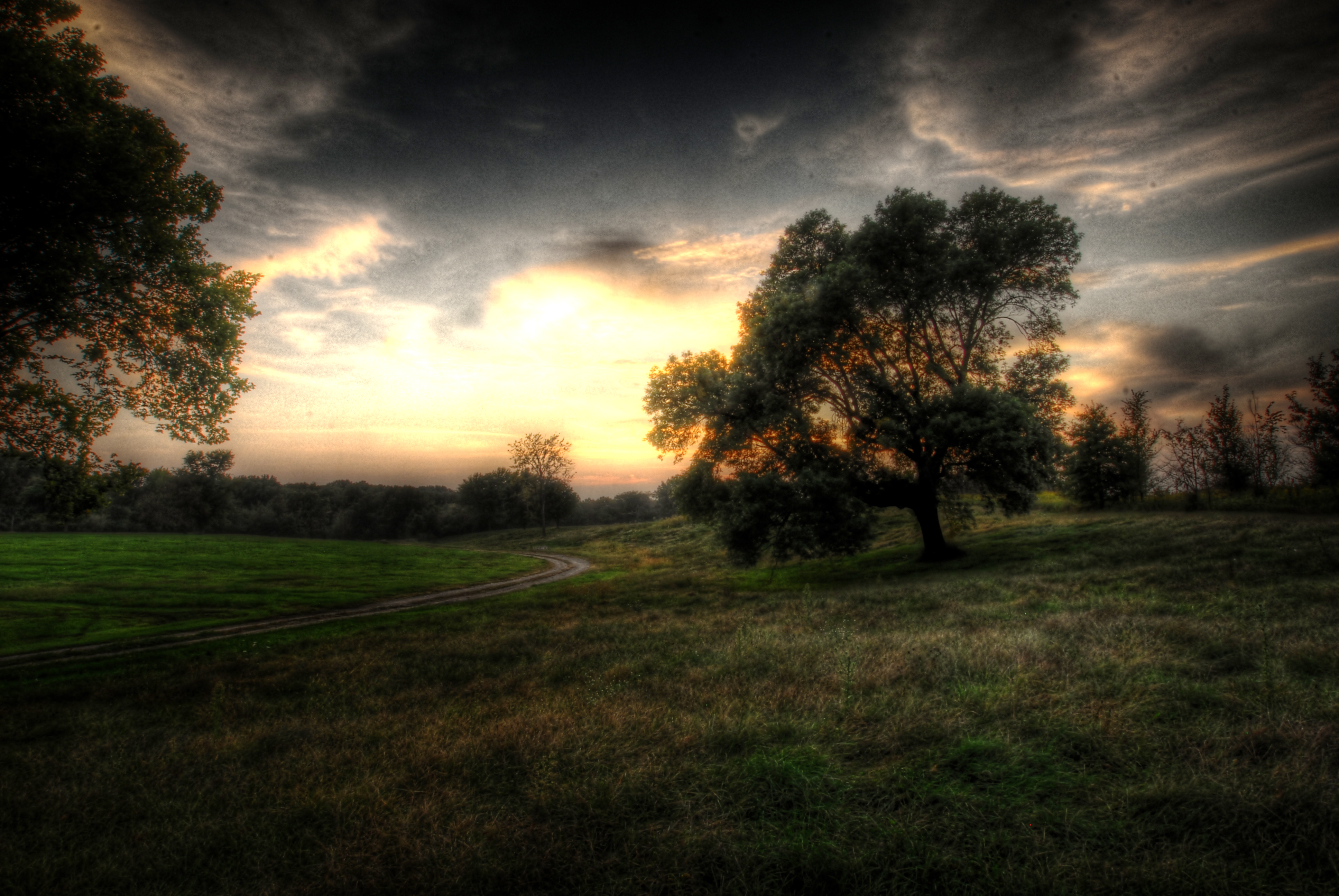
Sunset over rural McDonough County farm house
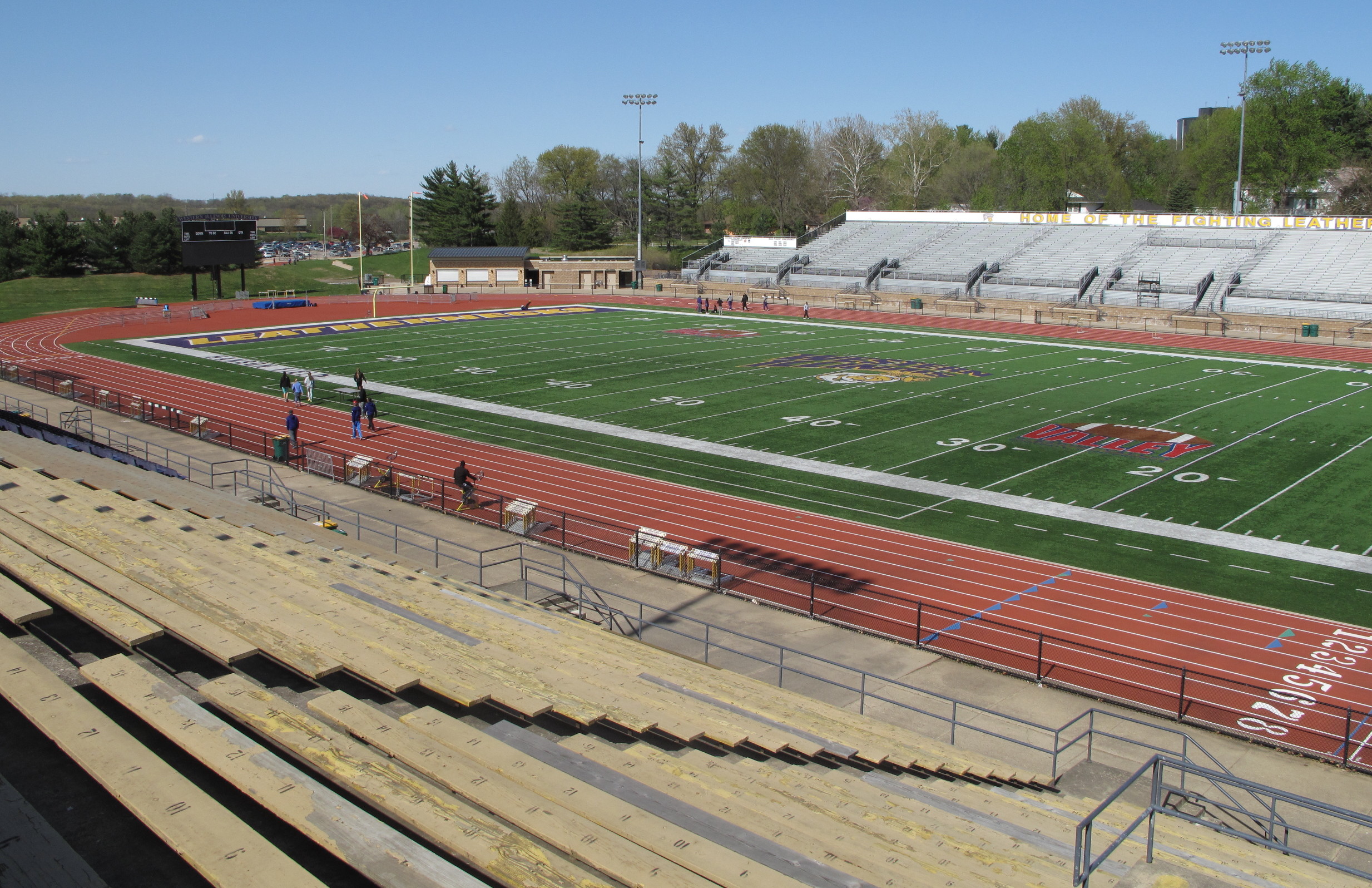
Hanson Field, Macomb (Ill.), 22 April 2015
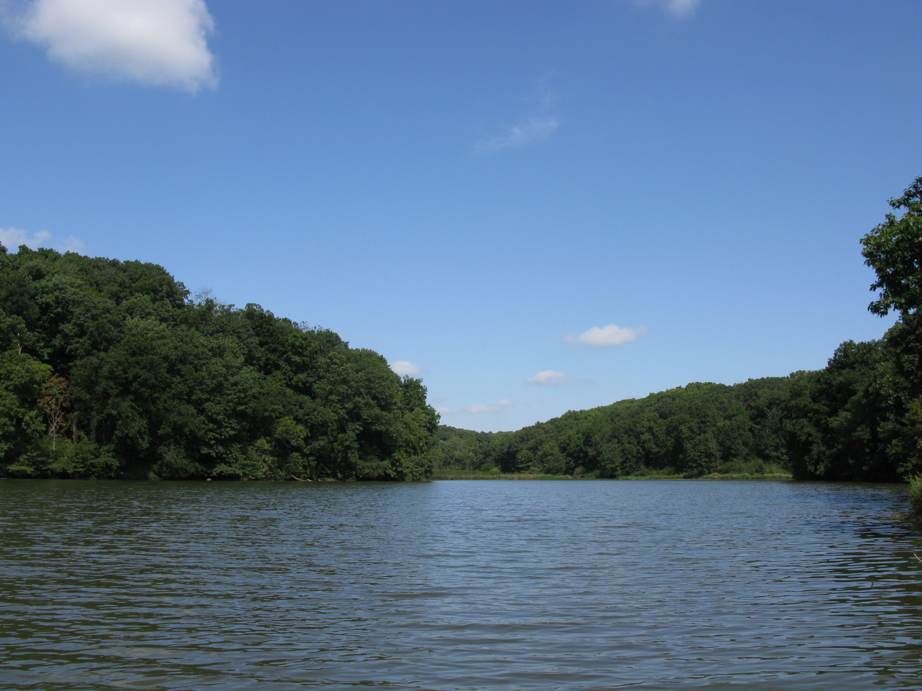
Quiet lake
Topographic Map of County Rd E, Sciota, IL, USA
Find elevation by address:

Places near County Rd E, Sciota, IL, USA:
Sciota
Sciota Township
Spring Lake Park
E Main St, Good Hope, IL, USA
Good Hope
Harry Mussatto Golf Course
3 Woodland Ln, Macomb, IL, USA
Western Illinois University
Blandinsville Township
170 S Yorktown Rd
Waggoner Hall
615 Reeveston Dr
E Washington St, Blandinsville, IL, USA
Union Plaza
Blandinsville
1406 N Randolph St
640 Argyle Park Rd
Argyle Lake State Park
1 University Cir
702 W Washington St
Recent Searches:
- Elevation of Hickory Blvd, Bonita Springs, FL, USA
- Elevation of Lalagbene, Bayelsa, Nigeria
- Elevation of Ogbosuware Health Centre, 2WWJ+4PJ, Lalagbene, Bayelsa, Nigeria
- Elevation of Duckhorn Ct, Las Vegas, NV, USA
- Elevation of Garretts Run Rd, Ford City, PA, USA
- Elevation of N WI-55, Freedom, WI, USA
- Elevation map of Hadiya, Ethiopia
- Elevation of Hosaina, Ethiopia
- Elevation of Verde Terrace, North Port, FL, USA
- Elevation of US-, Leesburg, FL, USA