Elevation of E Main St, Plymouth, IL, USA
Location: United States > Illinois > Hancock County >
Longitude: -90.918374
Latitude: 40.2920601
Elevation: 201m / 659feet
Barometric Pressure: 99KPa
Elevation Map:
Satellite Map:
Related Photos:

Street Mural @ Chinatown

Old Saint Mary's Church

Tough Days for the Birds

Tough Days for the Birds

Morning Goldenrods
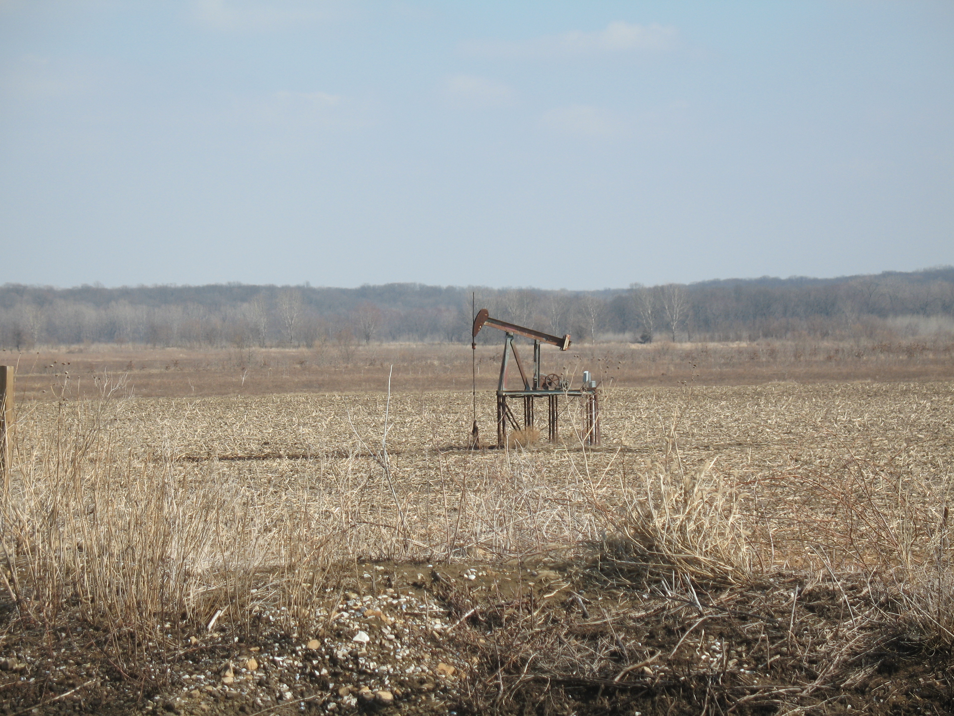
Oil pump in cornfield
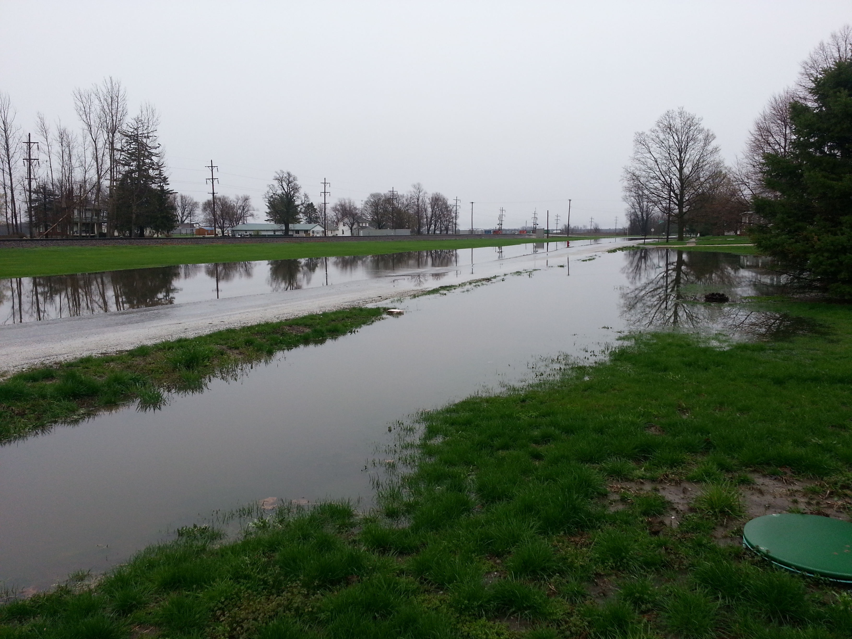
2013-04-18 08.38.35

Algae Reflection

Weinberg King Pond

Lone Tree_Color

Schuyler County Barns
Topographic Map of E Main St, Plymouth, IL, USA
Find elevation by address:

Places near E Main St, Plymouth, IL, USA:
Plymouth
E rd Ln, Augusta, IL, USA
Hancock Township
2974-2968
Northeast Township
Harmony Township
IL-, Plymouth, IL, USA
Colchester Township
N th Rd, Colchester, IL, USA
N th Ave, Golden, IL, USA
Chatton
Colchester
E Co Rd, Carthage, IL, USA
Carthage Township
Argyle Lake State Park
640 Argyle Park Rd
Bentley
Bentley Dr, Carthage, IL, USA
Houston Township
Golden
Recent Searches:
- Elevation of Corso Fratelli Cairoli, 35, Macerata MC, Italy
- Elevation of Tallevast Rd, Sarasota, FL, USA
- Elevation of 4th St E, Sonoma, CA, USA
- Elevation of Black Hollow Rd, Pennsdale, PA, USA
- Elevation of Oakland Ave, Williamsport, PA, USA
- Elevation of Pedrógão Grande, Portugal
- Elevation of Klee Dr, Martinsburg, WV, USA
- Elevation of Via Roma, Pieranica CR, Italy
- Elevation of Tavkvetili Mountain, Georgia
- Elevation of Hartfords Bluff Cir, Mt Pleasant, SC, USA