Elevation of N th Rd, Colchester, IL, USA
Location: United States > Illinois > Mcdonough County > Chalmers Township >
Longitude: -90.761355
Latitude: 40.3682556
Elevation: 204m / 669feet
Barometric Pressure: 99KPa
Elevation Map:
Satellite Map:
Related Photos:

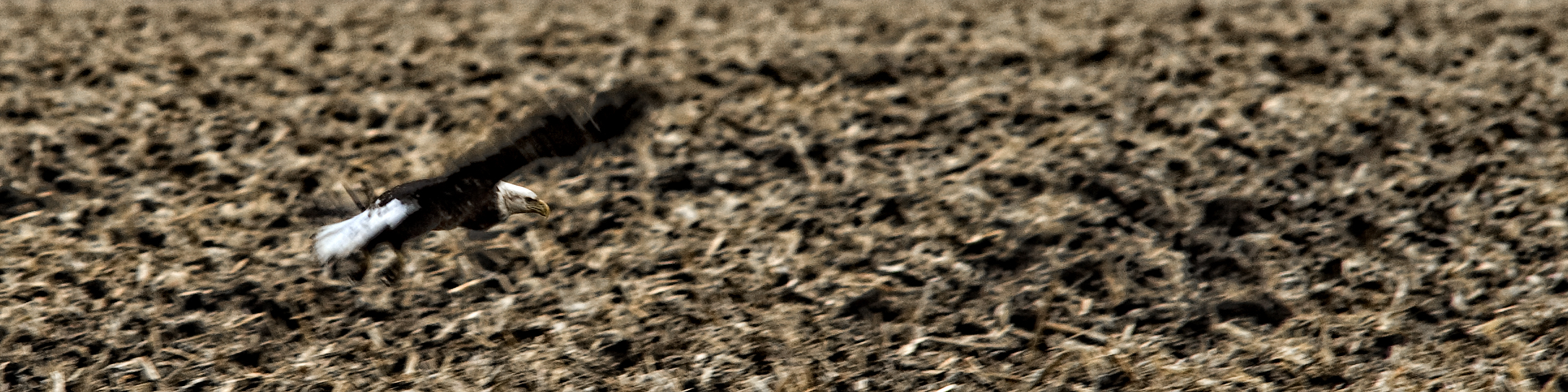
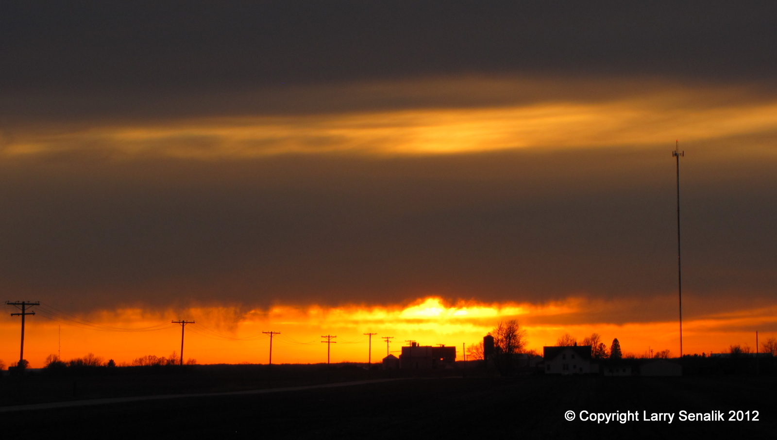
Tough Days for the Birds
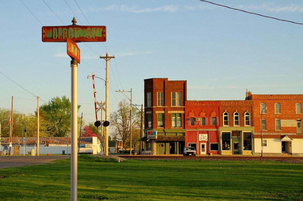
The view from Depot Street - Colchester, Illinois

Macomb No. 3

Tough Days for the Birds
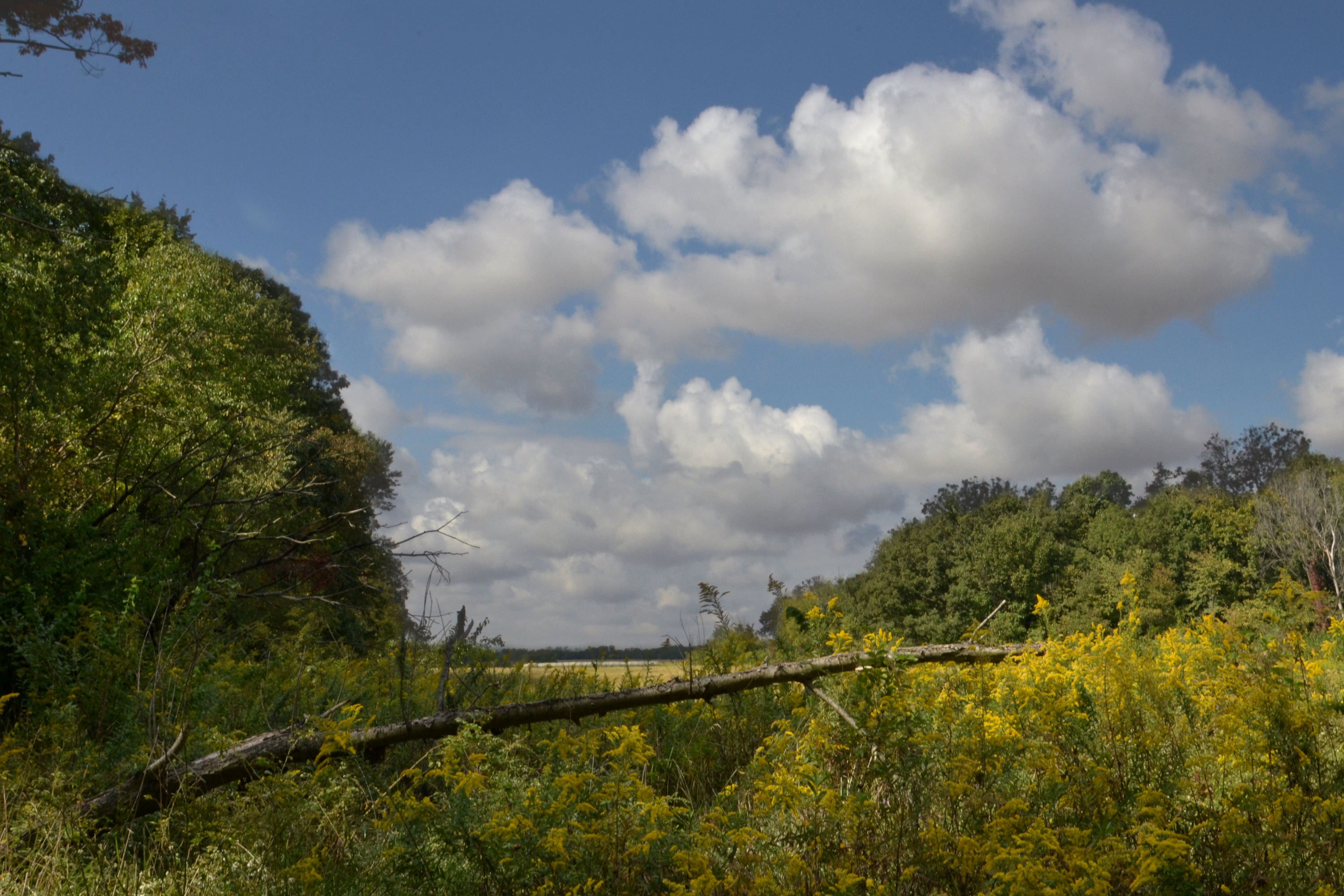
Roadside Surprise
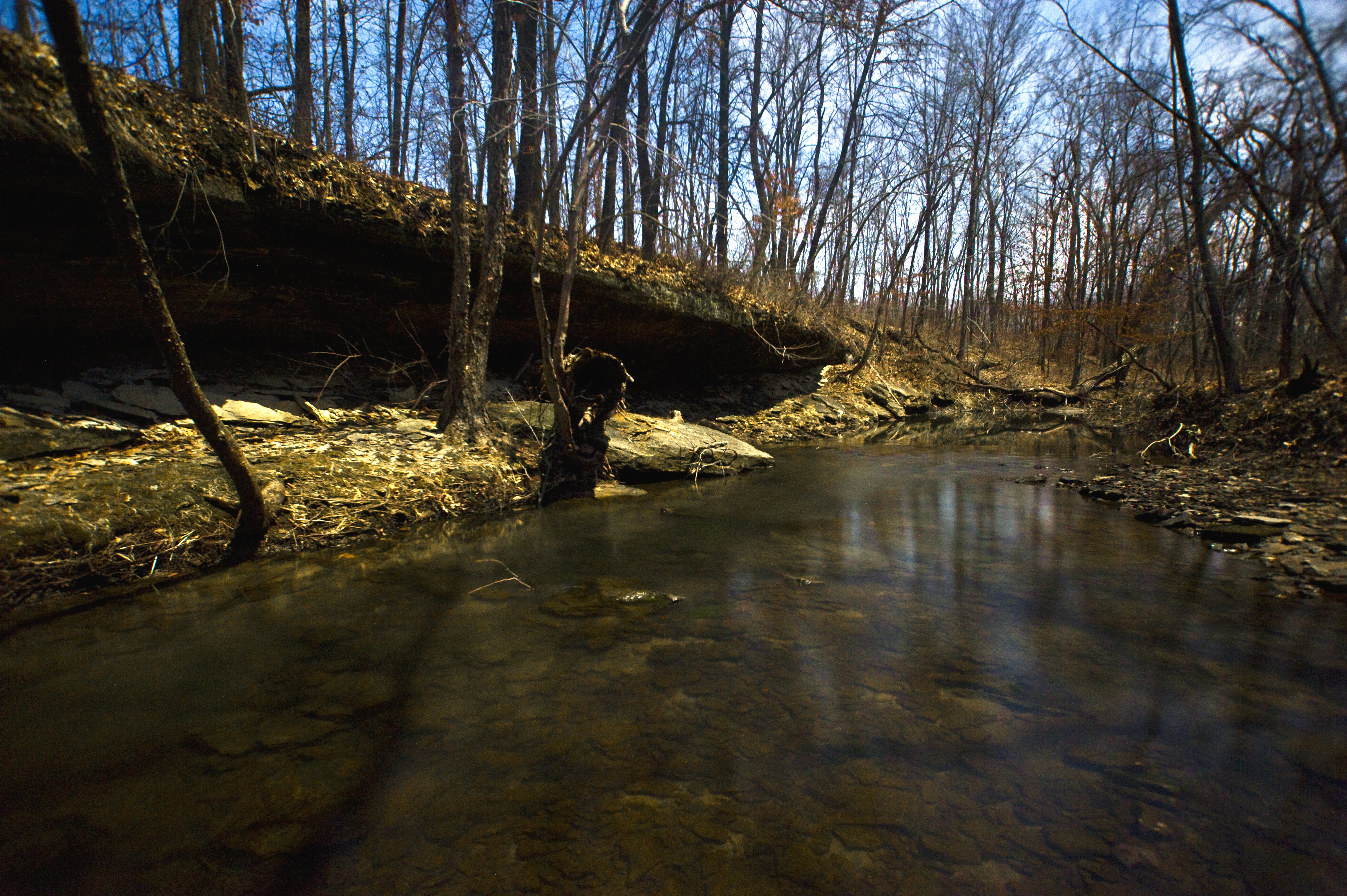
Big Rock, view upstream
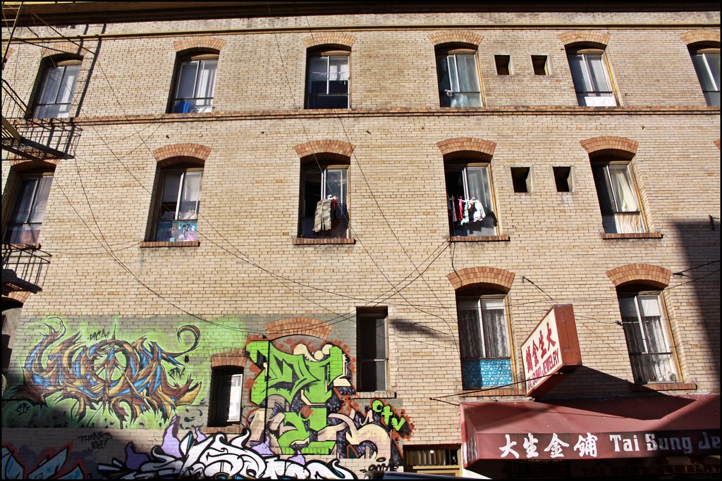
Street Mural @ Chinatown
Old Saint Mary's Church

The Wyne Dry Goods Co., Macomb, IL

Breakfast and Birding at Argyle Lake
Winter at Argyle Lake

Fuck baseball well little kids baseball
Schuyler County Barns
State Park
Dorothy, Follow the Wooden Path
Across the Road

Ancient Hump Ring: Western Berth

Studio Photography
Dead Tree, La Moine River

Old Macomb Cemetery
Bark Detail, La Moine River

Argyle Lake State Park
Argyle Trails 9-25-11
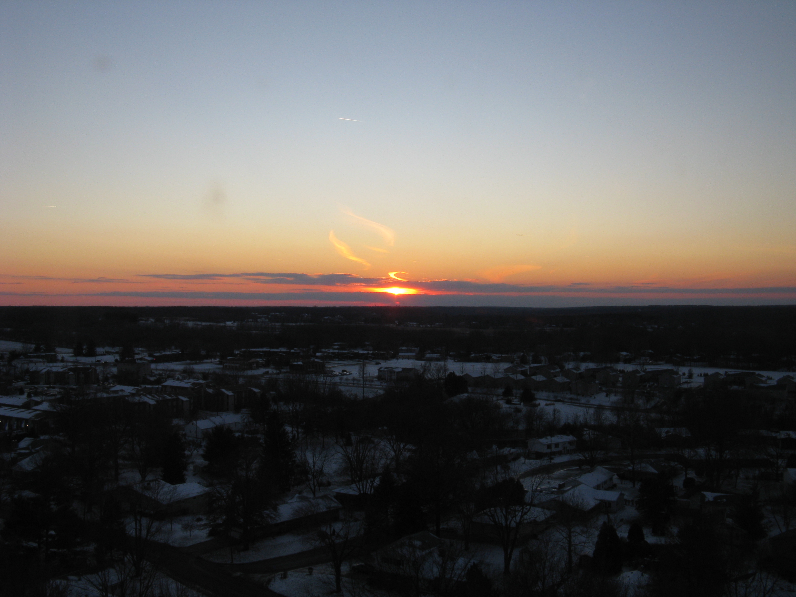
sunst from 17th floor in Macomb IL

Possibility #34: Penelope at Argyle Lake 08172013
sunst from 17th floor in Macomb IL
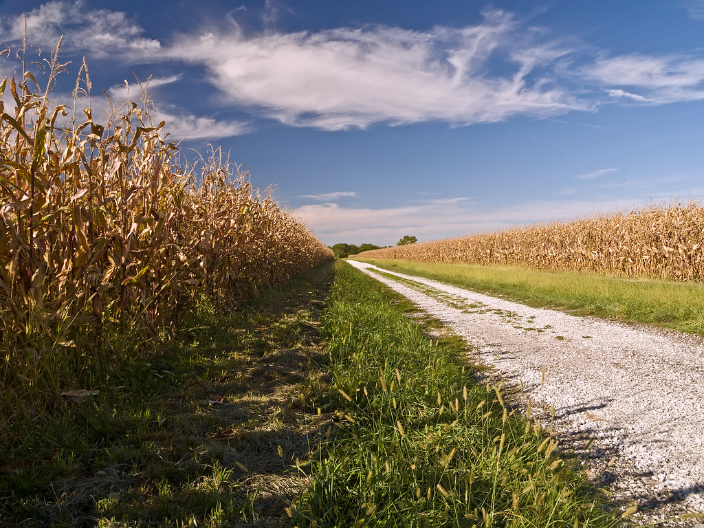
Corn Field Road (2007)
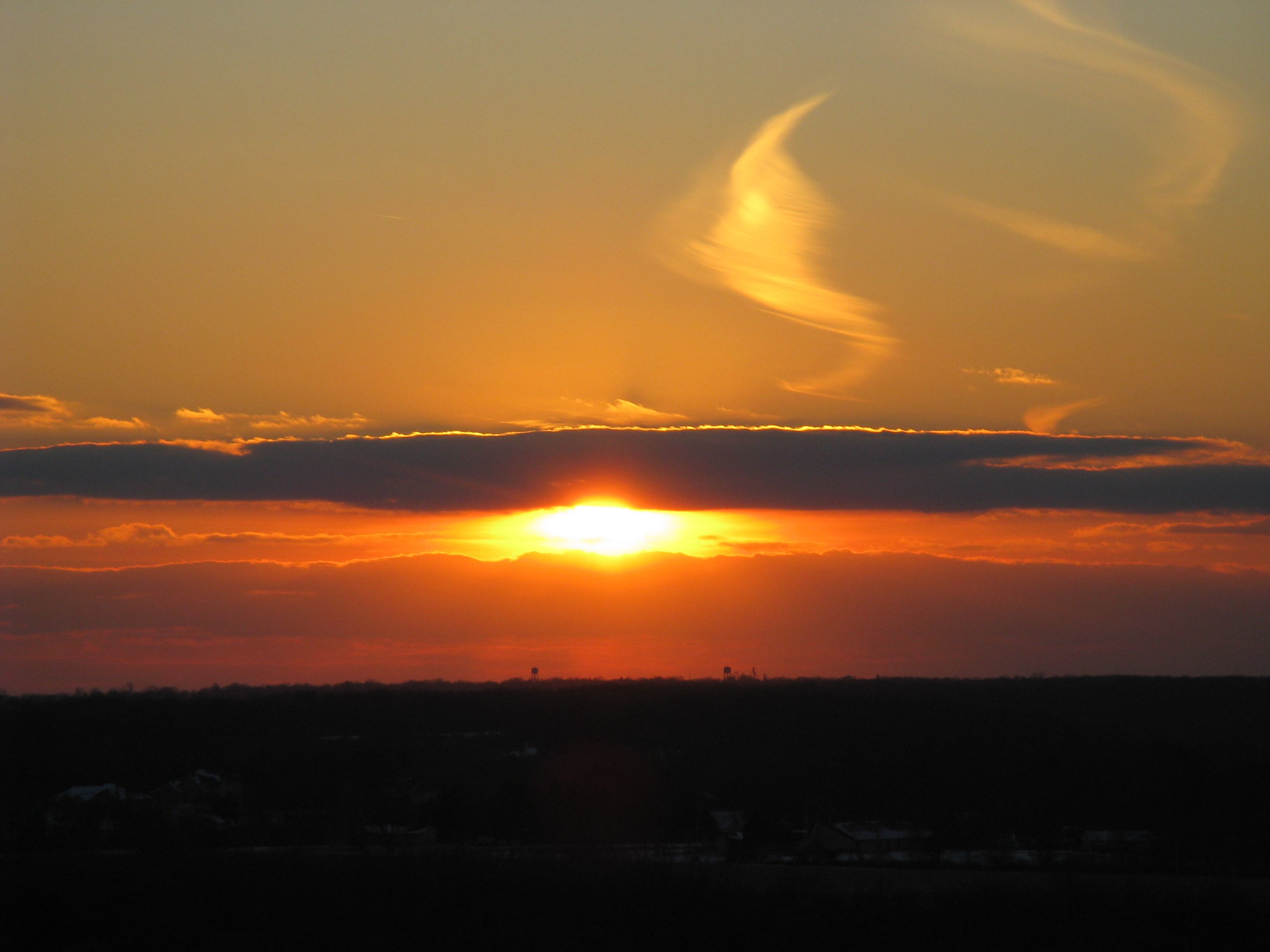
Sunset #1 - March 17, 2012

Landscape Version 1
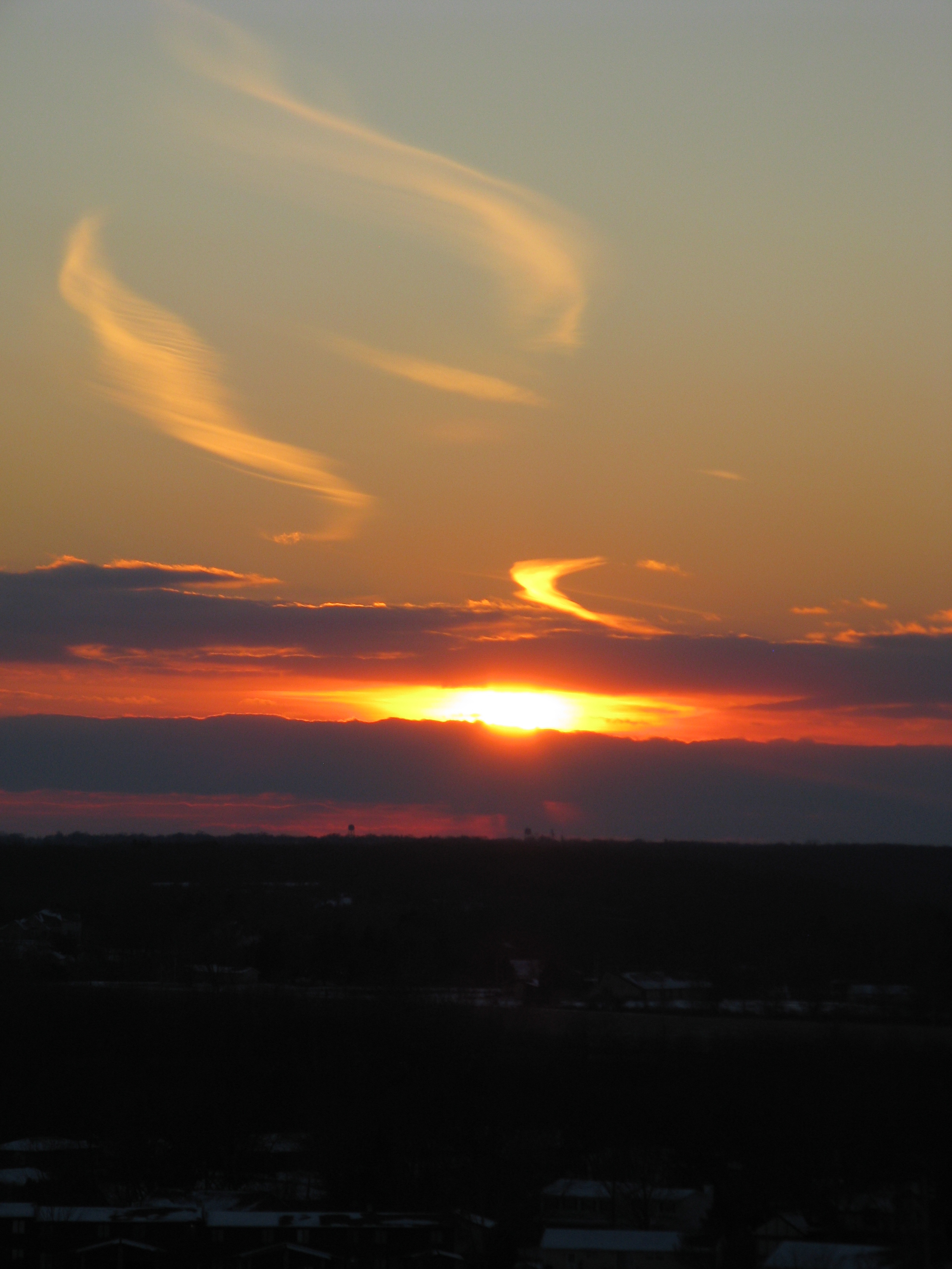
sunst from 17th floor in Macomb IL
Topographic Map of N th Rd, Colchester, IL, USA
Find elevation by address:

Places near N th Rd, Colchester, IL, USA:
Chalmers Township
Colchester Township
Colchester
Mcdonough County
Argyle Lake State Park
640 Argyle Park Rd
Western Illinios University Horn Field Campus
170 S Yorktown Rd
615 Reeveston Dr
869 S Ward St
702 W Washington St
1 University Cir
Union Plaza
2 West Side Square
2 West Side Square
Waggoner Hall
Macomb
3 Woodland Ln, Macomb, IL, USA
Westen Investments
Macomb City Township
Recent Searches:
- Elevation of Corso Fratelli Cairoli, 35, Macerata MC, Italy
- Elevation of Tallevast Rd, Sarasota, FL, USA
- Elevation of 4th St E, Sonoma, CA, USA
- Elevation of Black Hollow Rd, Pennsdale, PA, USA
- Elevation of Oakland Ave, Williamsport, PA, USA
- Elevation of Pedrógão Grande, Portugal
- Elevation of Klee Dr, Martinsburg, WV, USA
- Elevation of Via Roma, Pieranica CR, Italy
- Elevation of Tavkvetili Mountain, Georgia
- Elevation of Hartfords Bluff Cir, Mt Pleasant, SC, USA