Elevation of 2 West Side Square, Macomb, IL, USA
Location: United States > Illinois > Mcdonough County > Macomb City Township > Macomb >
Longitude: -90.671747
Latitude: 40.4582608
Elevation: 212m / 696feet
Barometric Pressure: 99KPa
Elevation Map:
Satellite Map:
Related Photos:
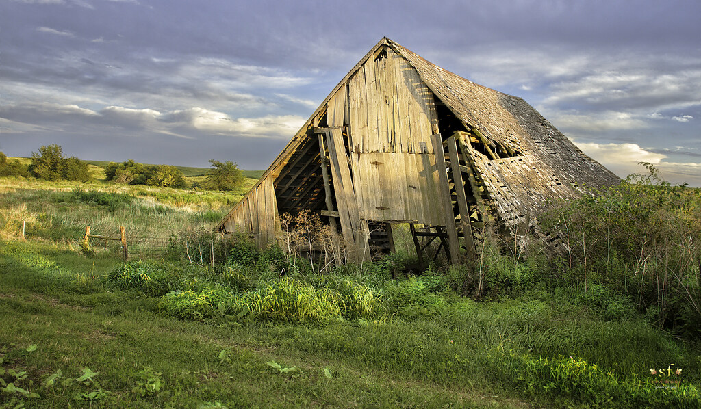
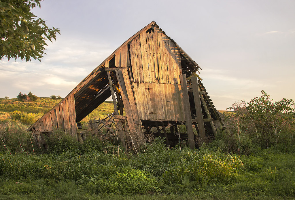
Fading From the Landscape
Breakfast and Birding at Argyle Lake
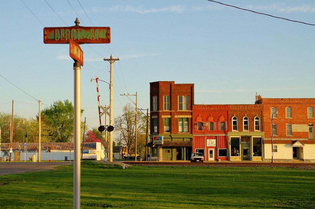
The view from Depot Street - Colchester, Illinois
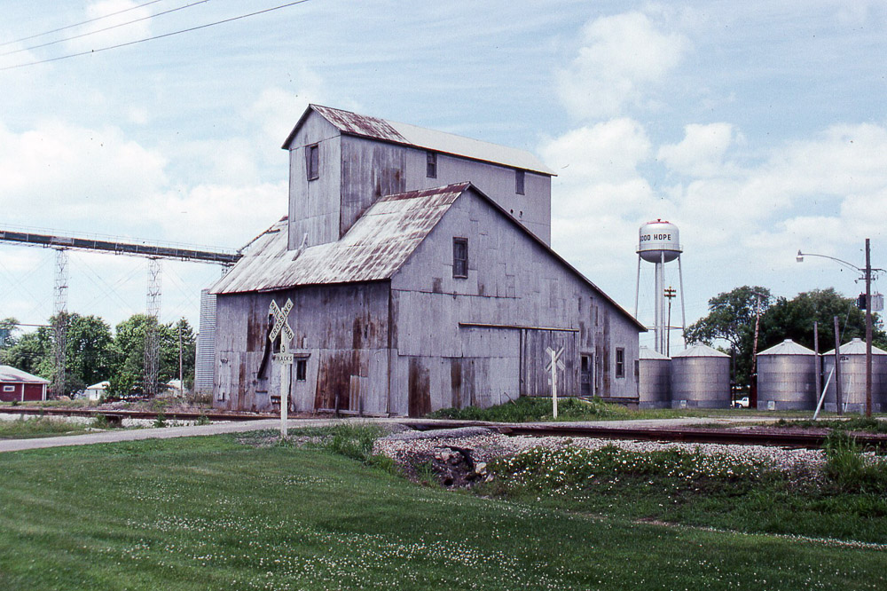
the grain elevator at Good Hope IL on the former TP&W on 6/16/91

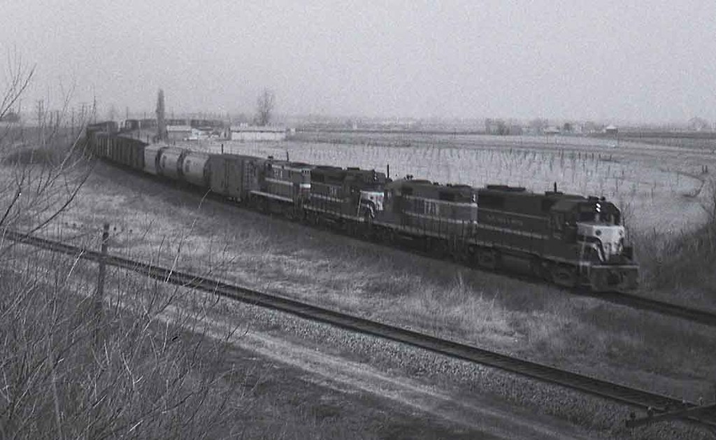
Macomb No. 3
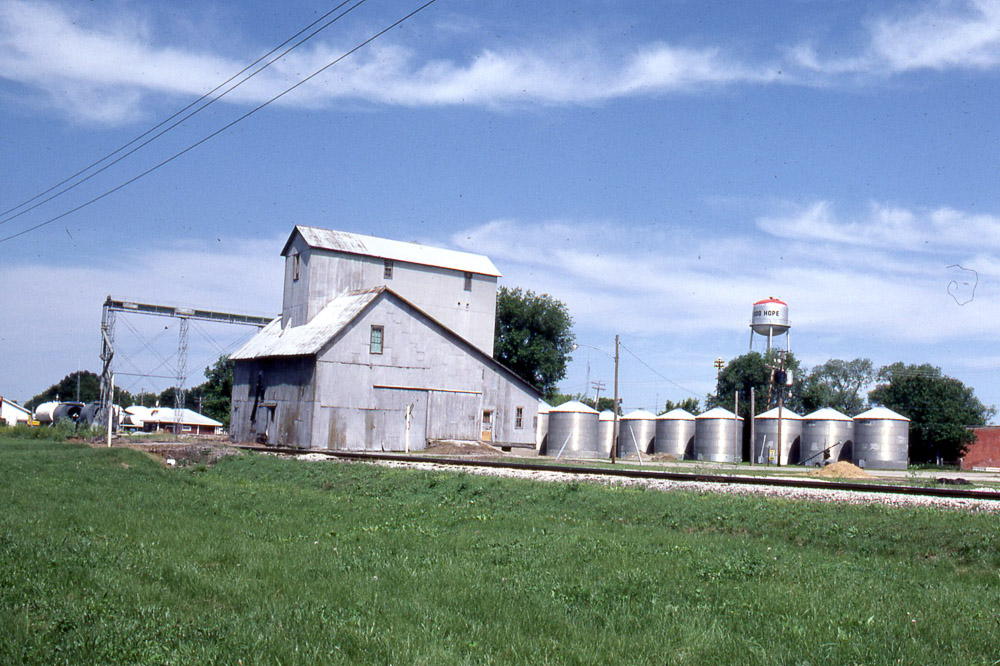
Grain elevator in Good Hope IL on the TP&W on 6/6/81.
Roadside Surprise
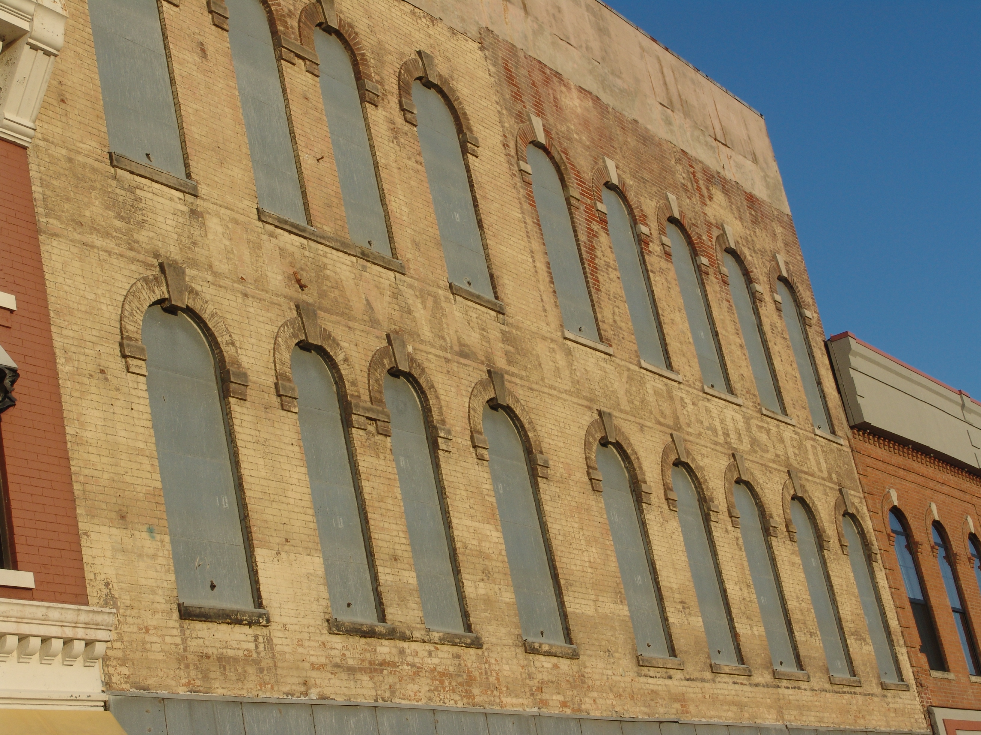
The Wyne Dry Goods Co., Macomb, IL

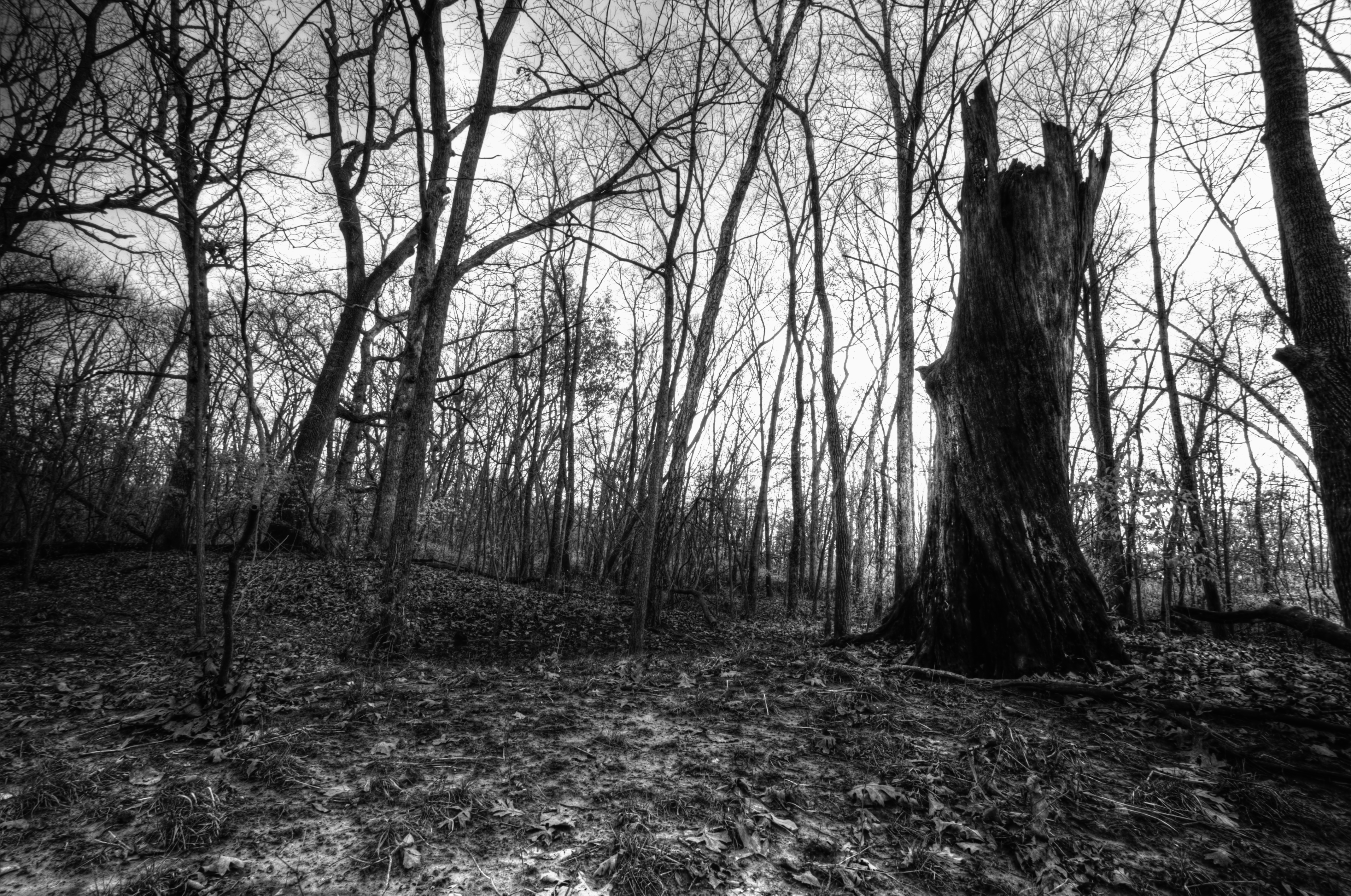
Weathering the Test of Time
No Refuge from the Storms
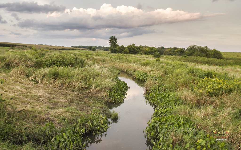
The Creek
TP&W #902 Bushnell, Illinois 1971 #1
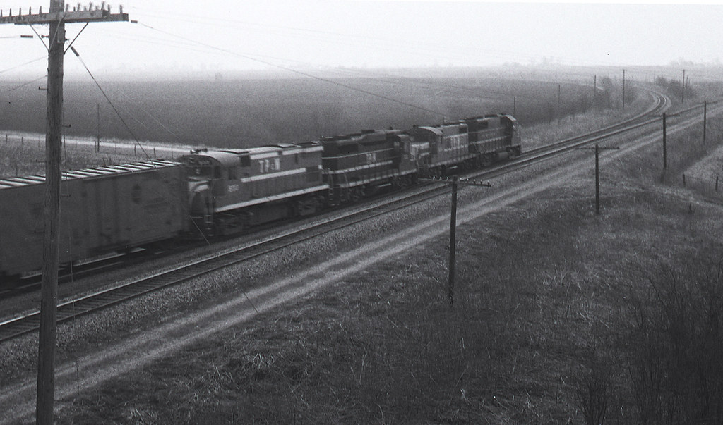
TP&W #902 Bushnell, Illinois 1971 #2
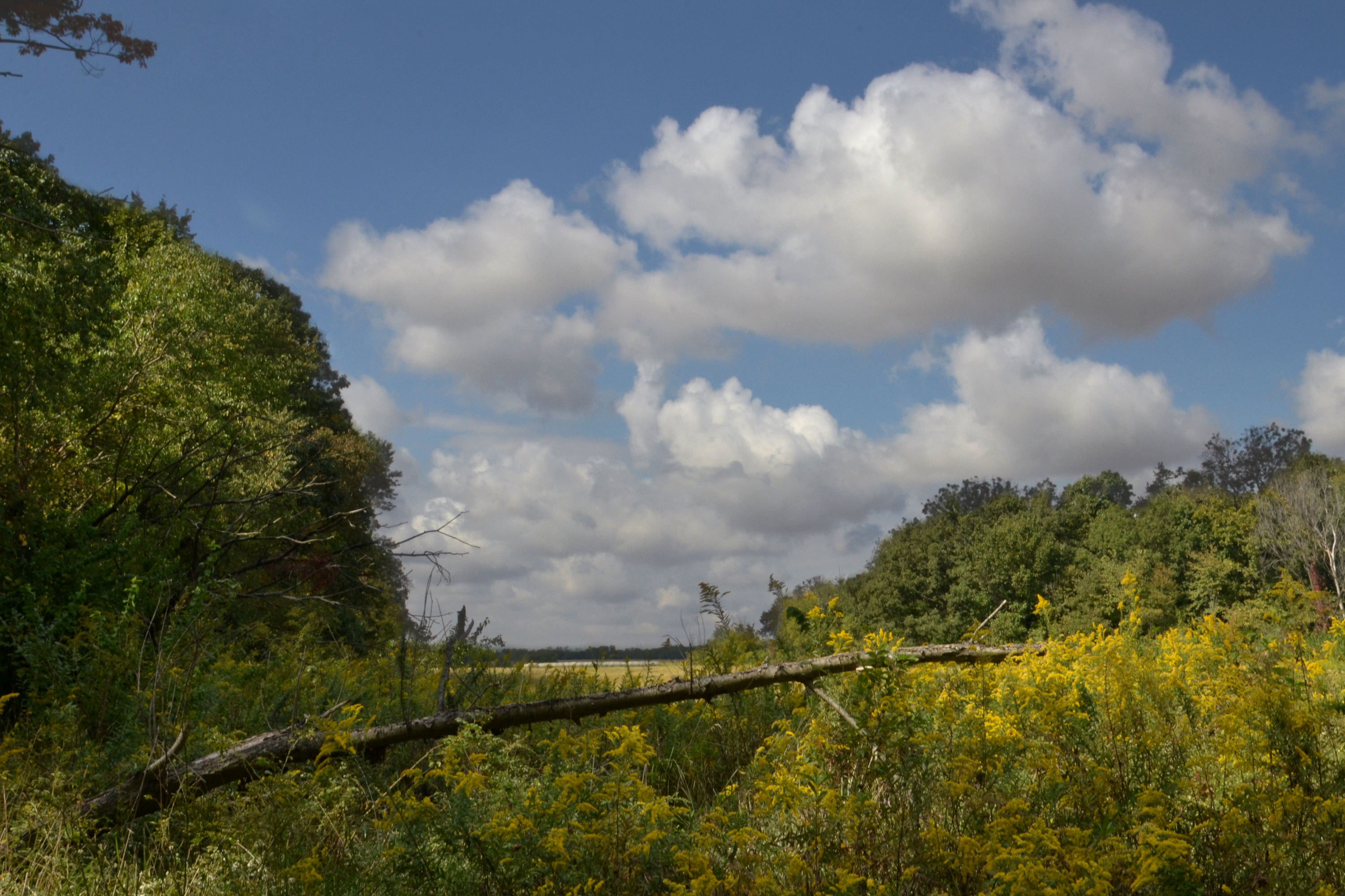
Across the Road

Ancient Hump Ring: Western Berth

Studio Photography
Dead Tree, La Moine River

Old Macomb Cemetery

Argyle Lake State Park
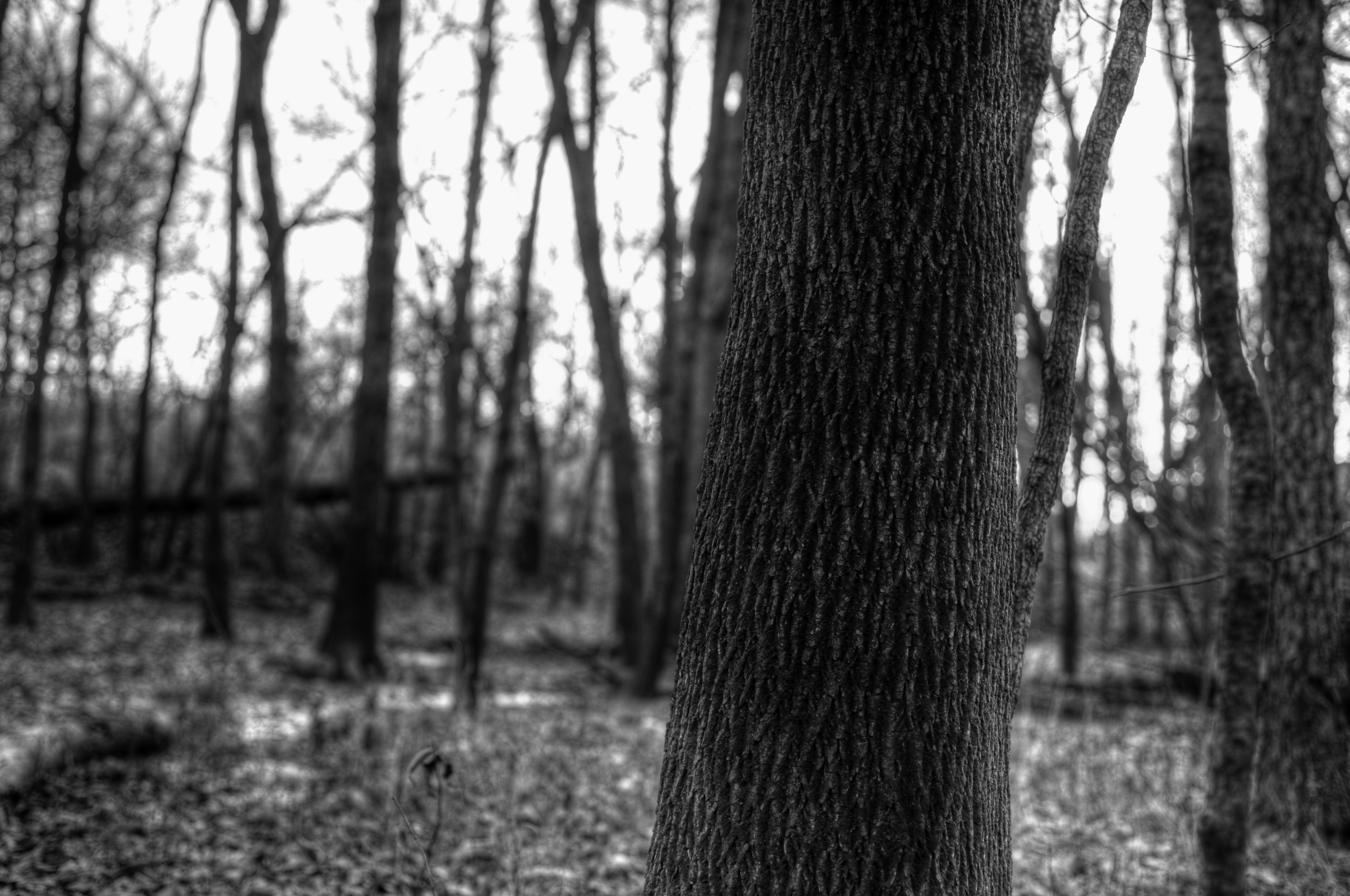
Bark Detail, La Moine River
Argyle Trails 9-25-11
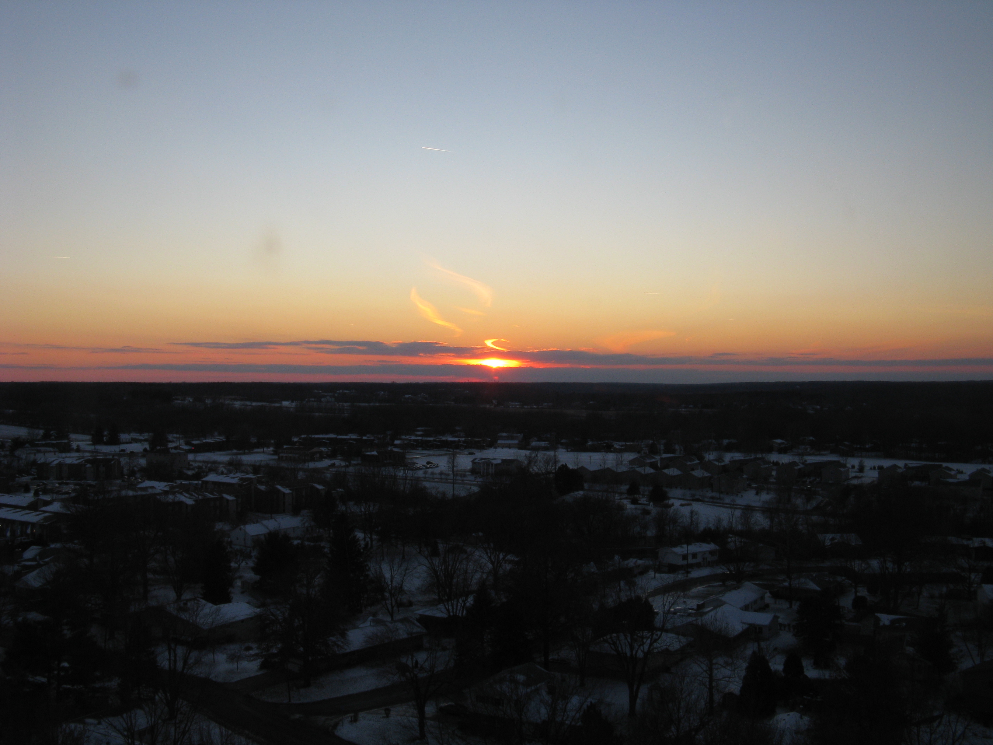
sunst from 17th floor in Macomb IL

Possibility #34: Penelope at Argyle Lake 08172013
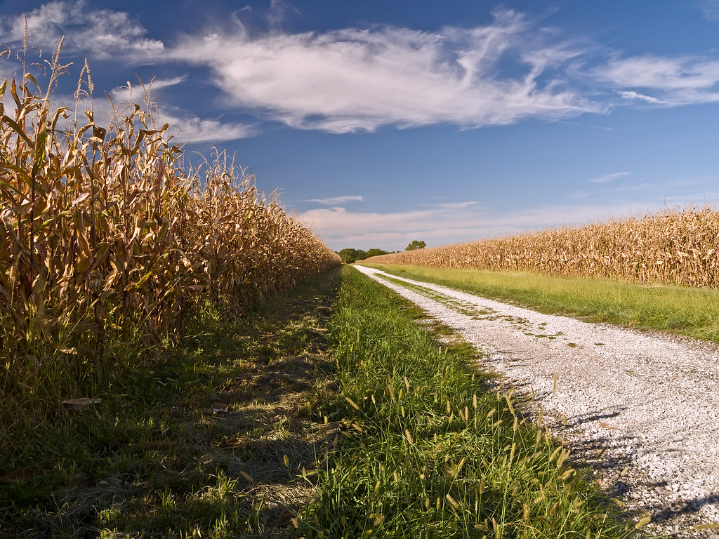
Corn Field Road (2007)
sunst from 17th floor in Macomb IL
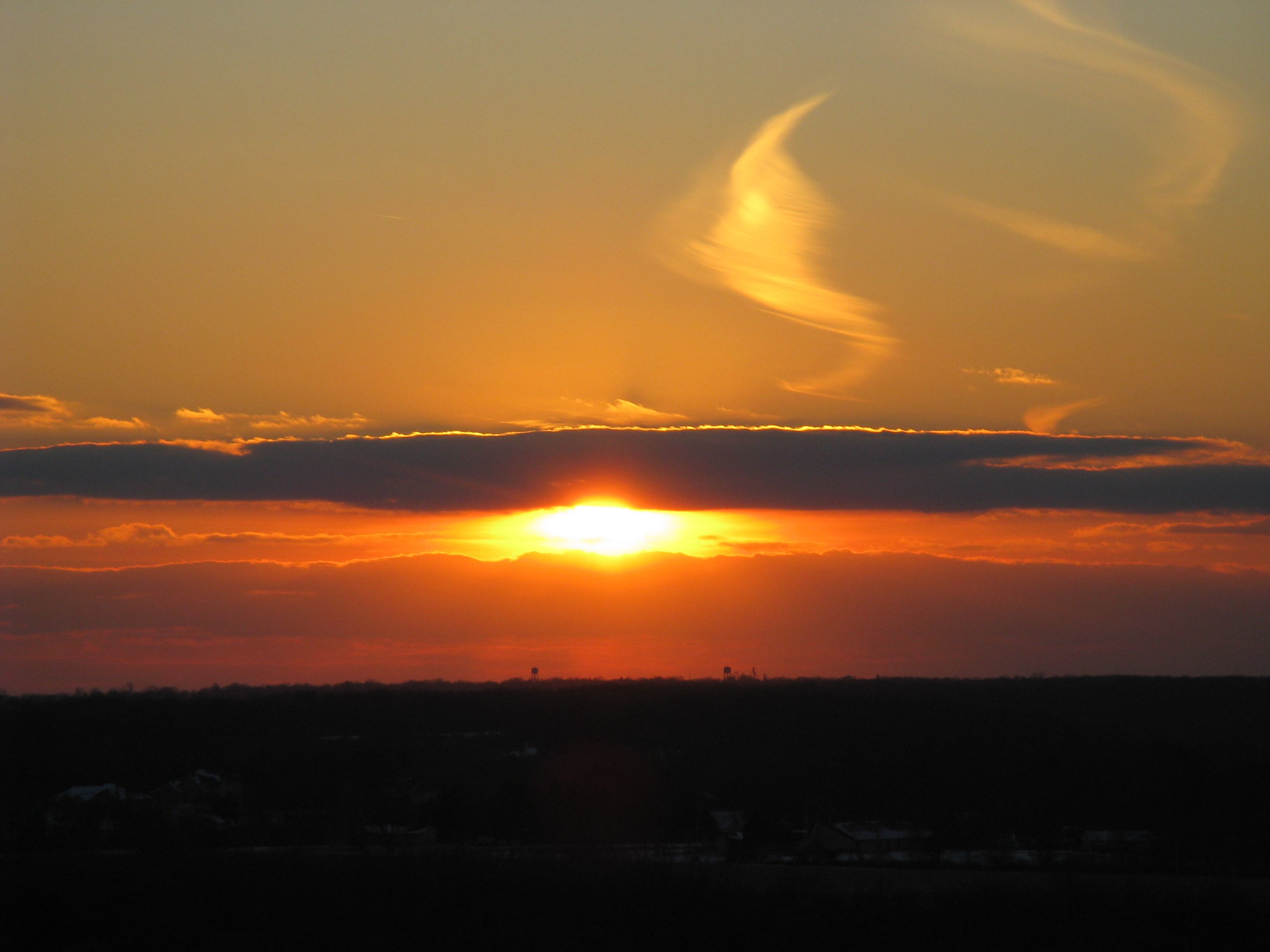
Sunset #1 - March 17, 2012
Winter at Argyle Lake
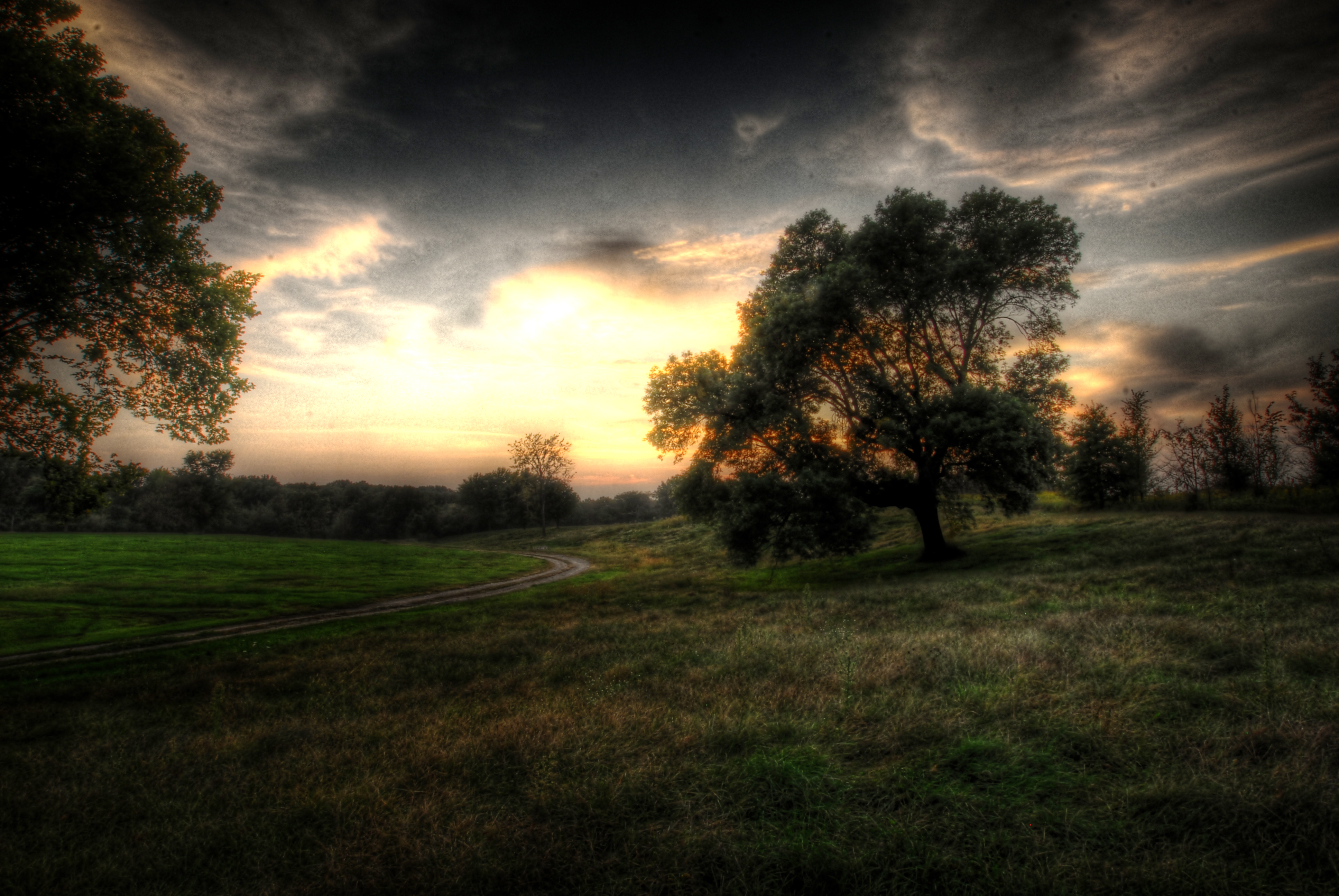
Landscape Version 1
sunst from 17th floor in Macomb IL
Fuck baseball well little kids baseball
Topographic Map of 2 West Side Square, Macomb, IL, USA
Find elevation by address:

Places near 2 West Side Square, Macomb, IL, USA:
2 West Side Square
Macomb
Westen Investments
Macomb City Township
702 W Washington St
1 University Cir
900 E Jefferson St
869 S Ward St
Union Plaza
1406 N Randolph St
Waggoner Hall
Western Illinois University
3 Woodland Ln, Macomb, IL, USA
615 Reeveston Dr
Western Illinios University Horn Field Campus
Harry Mussatto Golf Course
E Main St, Good Hope, IL, USA
Good Hope
18005 Il-9
707 N Washington St
Recent Searches:
- Elevation of Leguwa, Nepal
- Elevation of County Rd, Enterprise, AL, USA
- Elevation of Kolchuginsky District, Vladimir Oblast, Russia
- Elevation of Shustino, Vladimir Oblast, Russia
- Elevation of Lampiasi St, Sarasota, FL, USA
- Elevation of Elwyn Dr, Roanoke Rapids, NC, USA
- Elevation of Congressional Dr, Stevensville, MD, USA
- Elevation of Bellview Rd, McLean, VA, USA
- Elevation of Stage Island Rd, Chatham, MA, USA
- Elevation of Shibuya Scramble Crossing, 21 Udagawacho, Shibuya City, Tokyo -, Japan