Elevation of IL-9, Bushnell, IL, USA
Location: United States > Illinois > Mcdonough County > Bushnell Township > Bushnell >
Longitude: -90.559923
Latitude: 40.5477771
Elevation: 191m / 627feet
Barometric Pressure: 99KPa
Elevation Map:
Satellite Map:
Related Photos:
Bushnell Panorama

Macomb No. 3
the grain elevator at Good Hope IL on the former TP&W on 6/16/91
Grain elevator in Good Hope IL on the TP&W on 6/6/81.
The Wyne Dry Goods Co., Macomb, IL
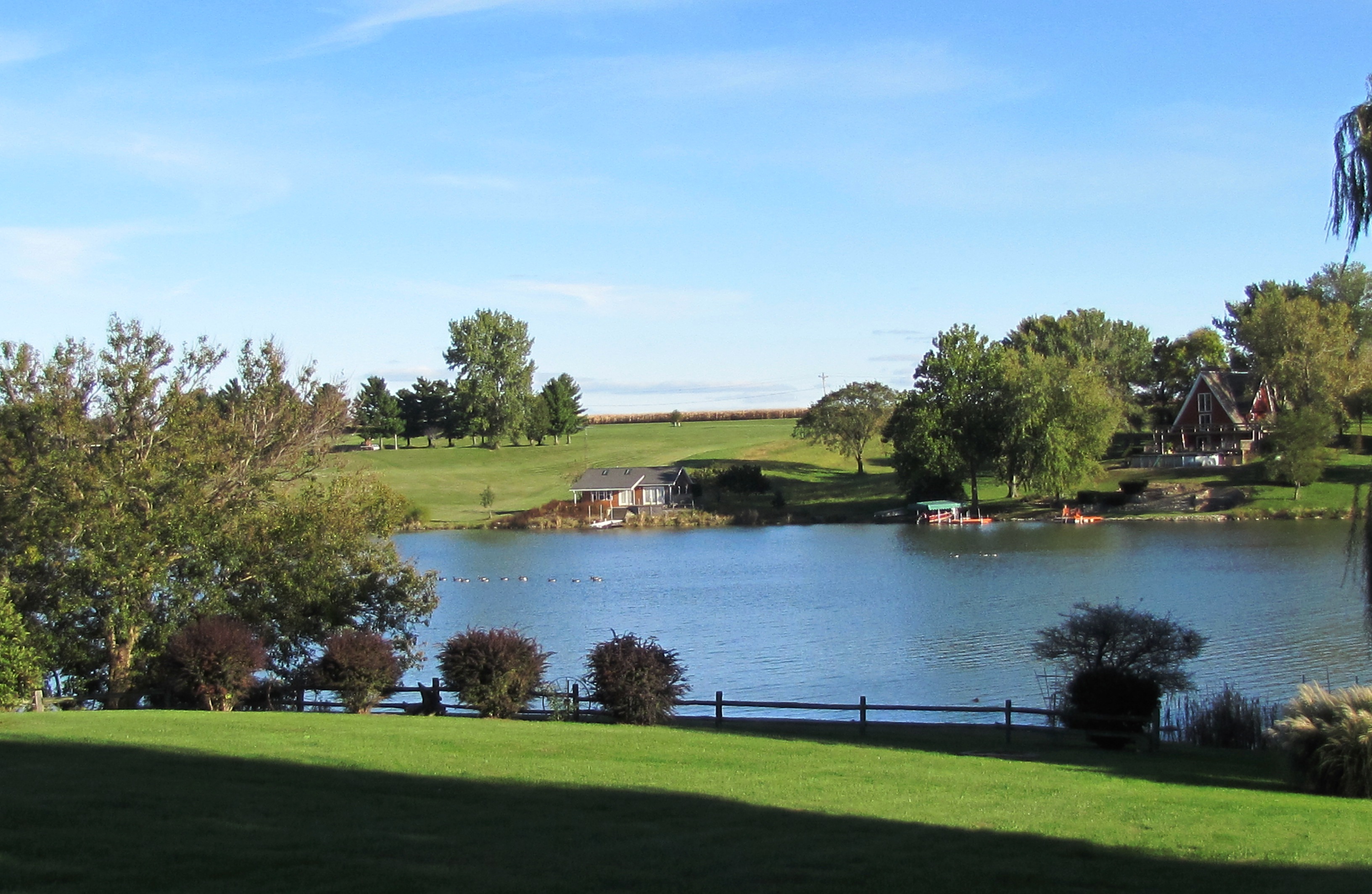
our view

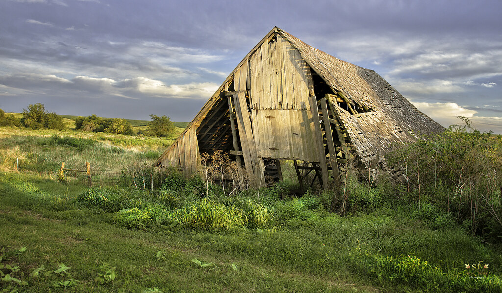
Weathering the Test of Time
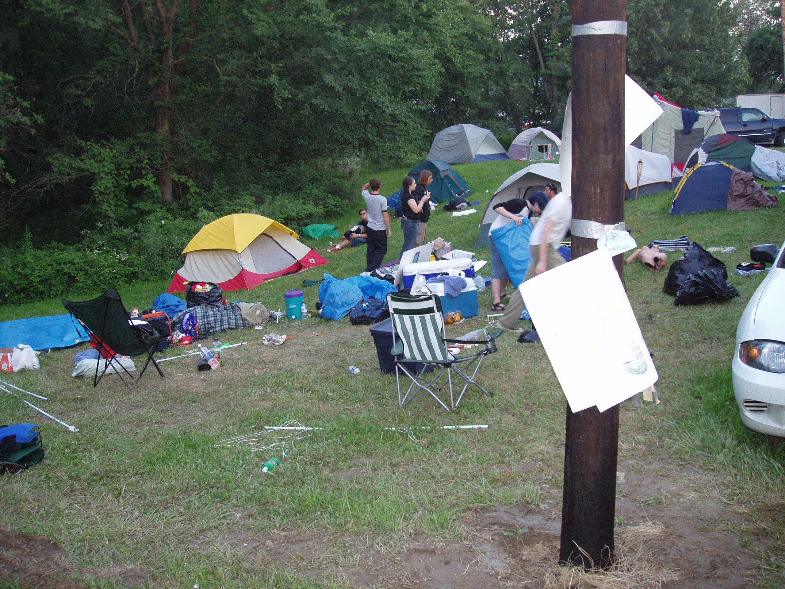
Tearing down Camp Frenzy

Action hero
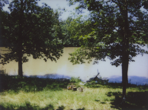
No Refuge from the Storms
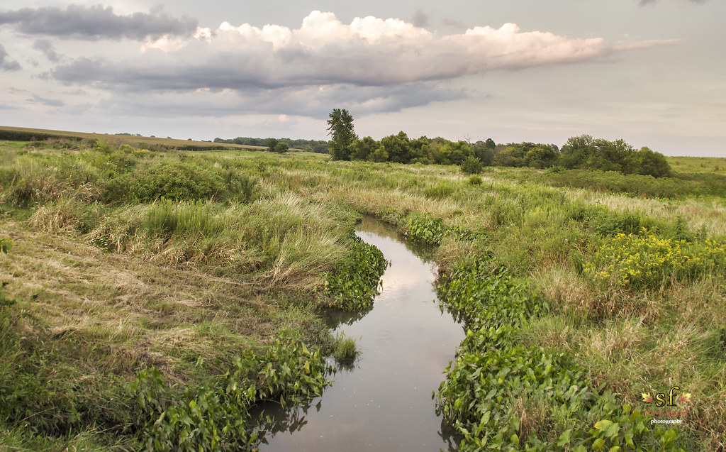
The Creek
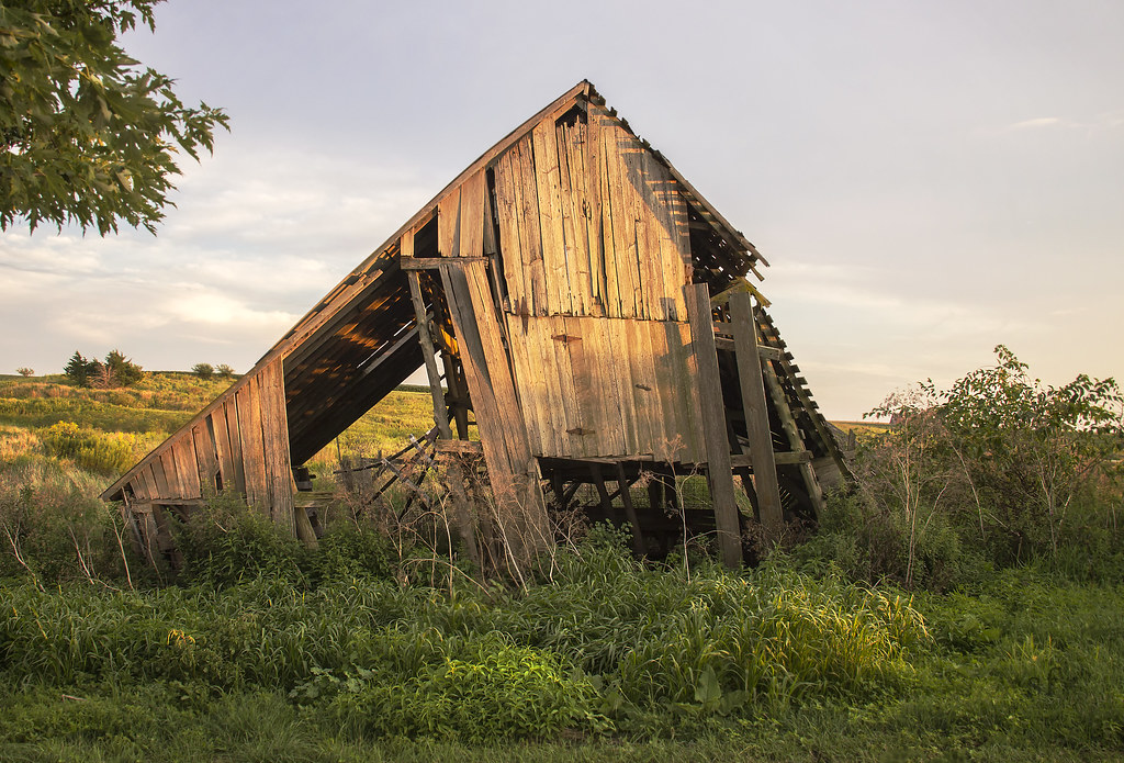
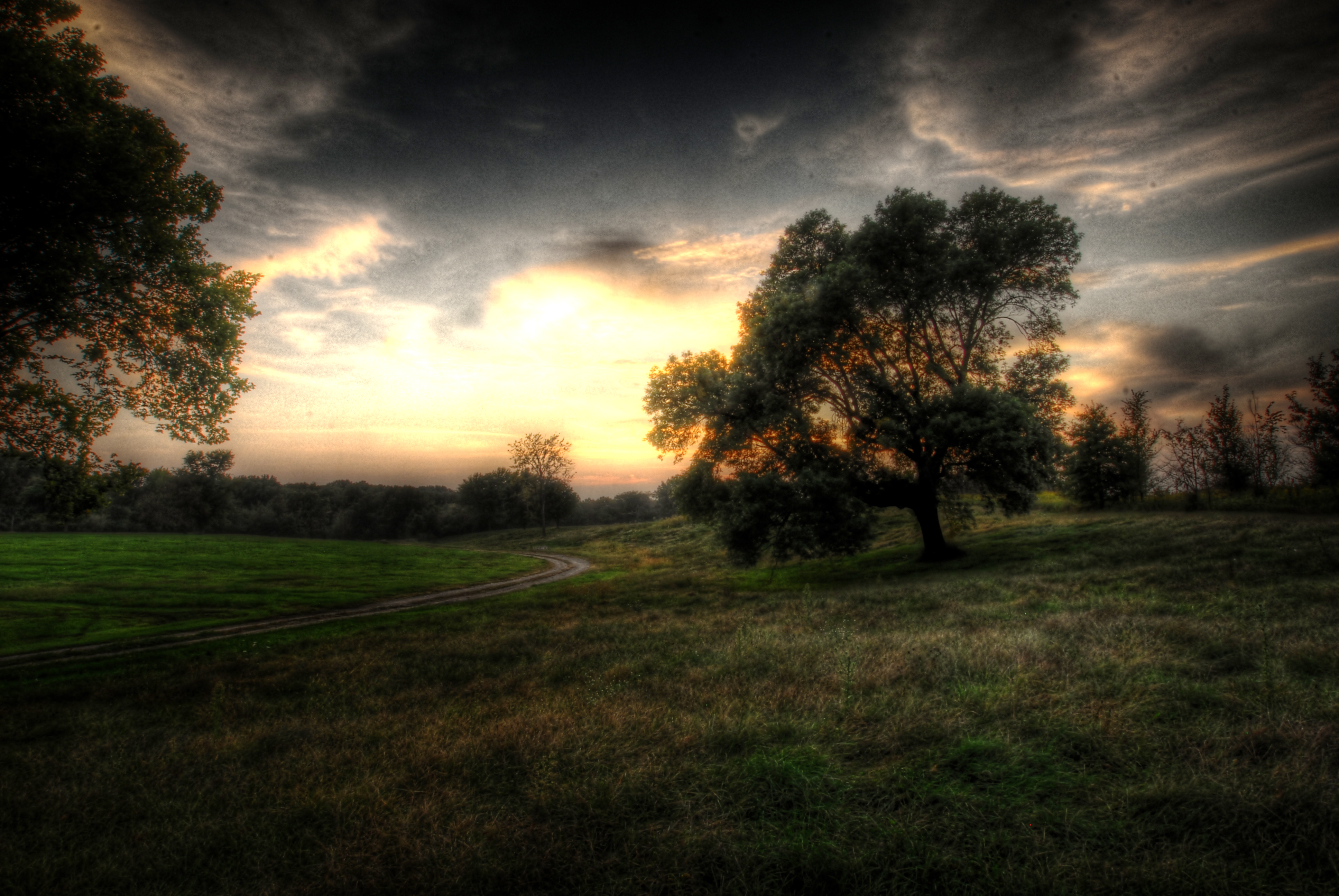
Fading From the Landscape
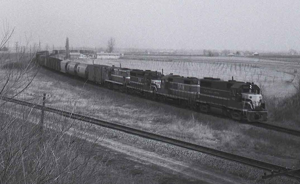
TP&W #902 Bushnell, Illinois 1971 #1
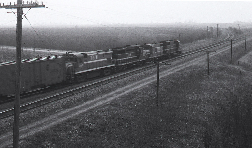
TP&W #902 Bushnell, Illinois 1971 #2

Wind through grass
.
Across the Road

Ancient Hump Ring: Western Berth

Studio Photography

Old Macomb Cemetery

Phase 1 - Mama Linda's
.
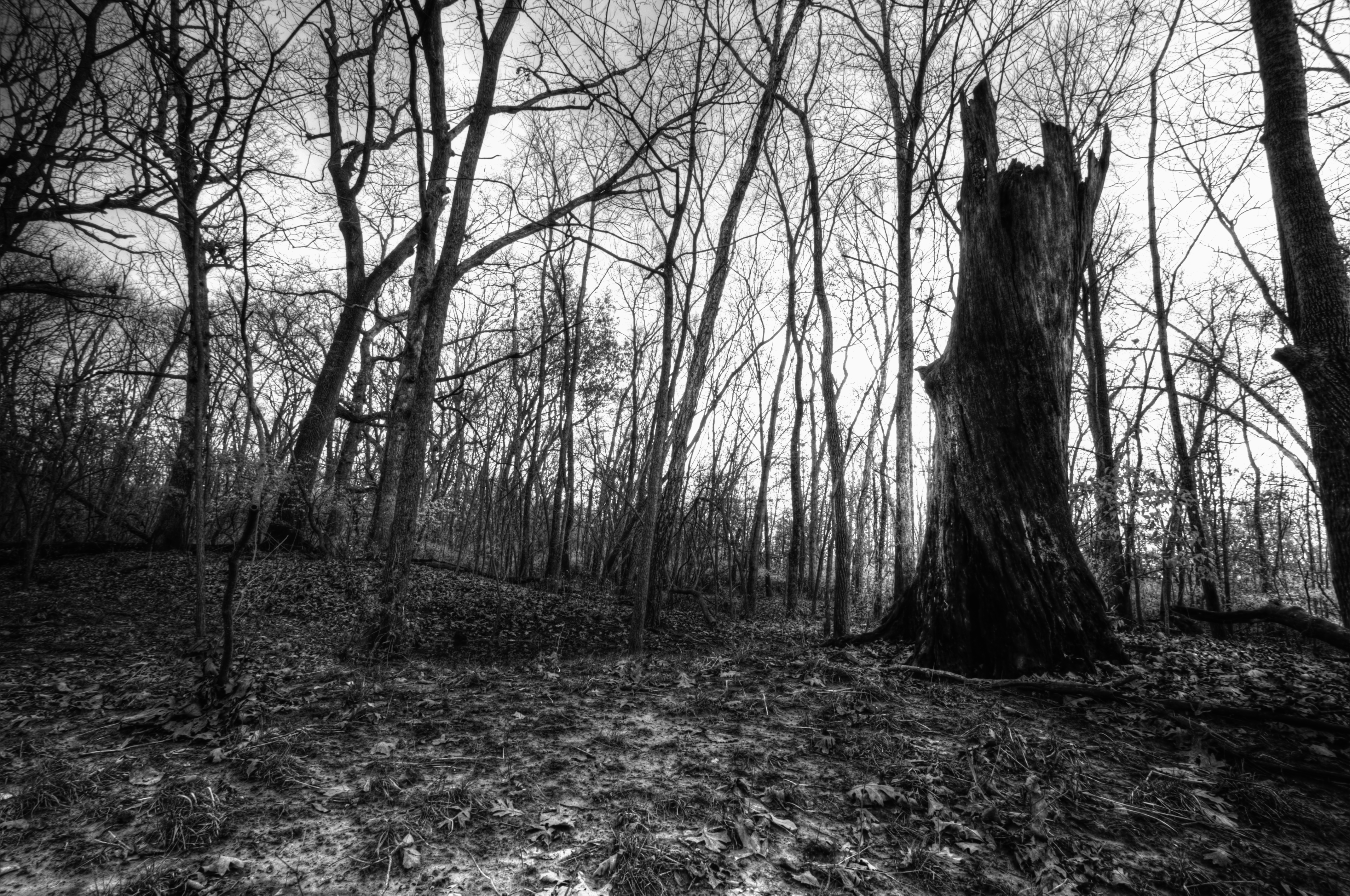
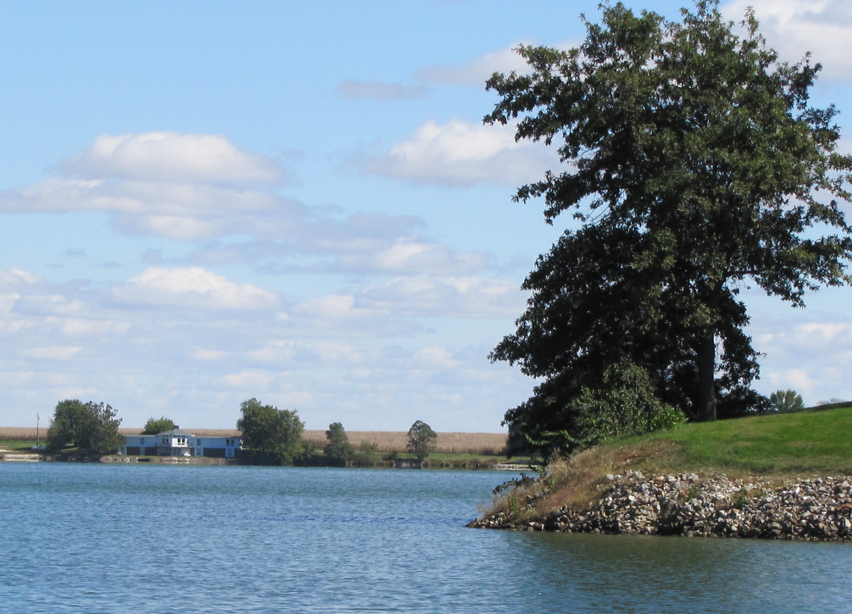
Dead Tree, La Moine River
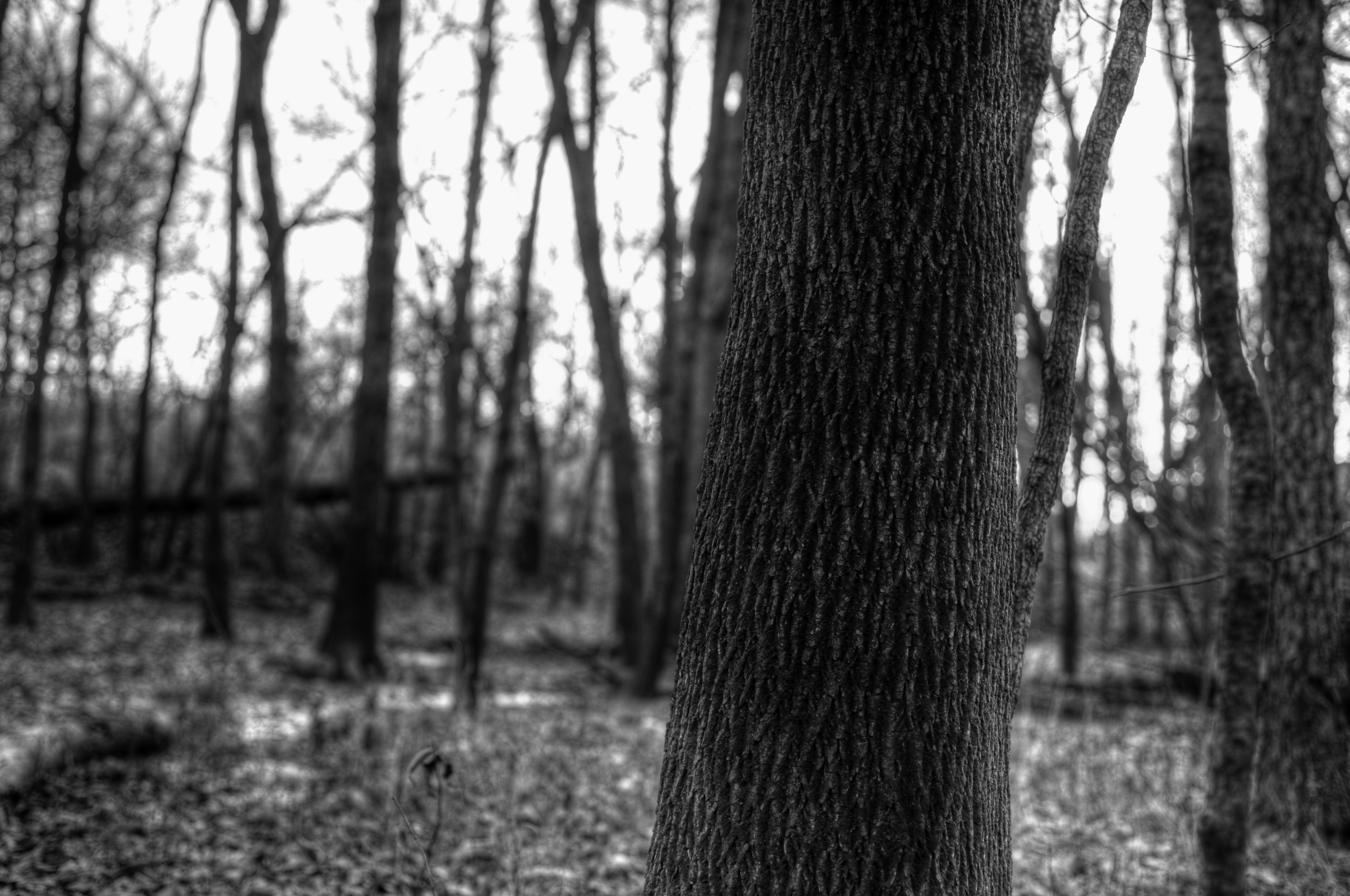
Bark Detail, La Moine River
.
corn stalks
.
Fuck baseball well little kids baseball

Landscape Version 1
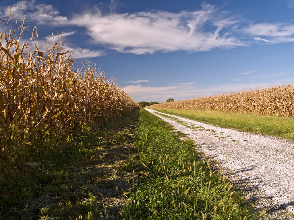
Corn Field Road (2007)
.
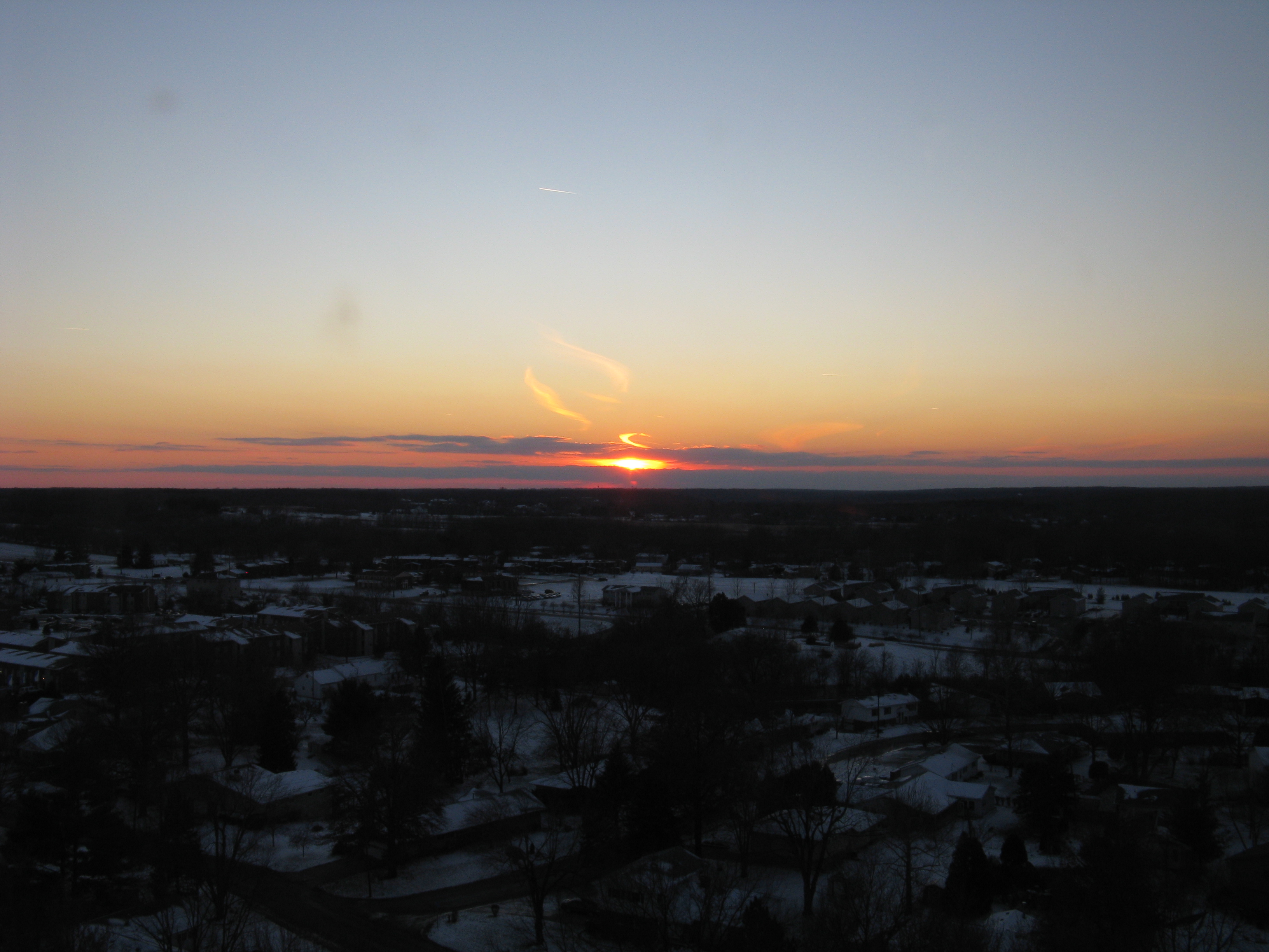
sunst from 17th floor in Macomb IL
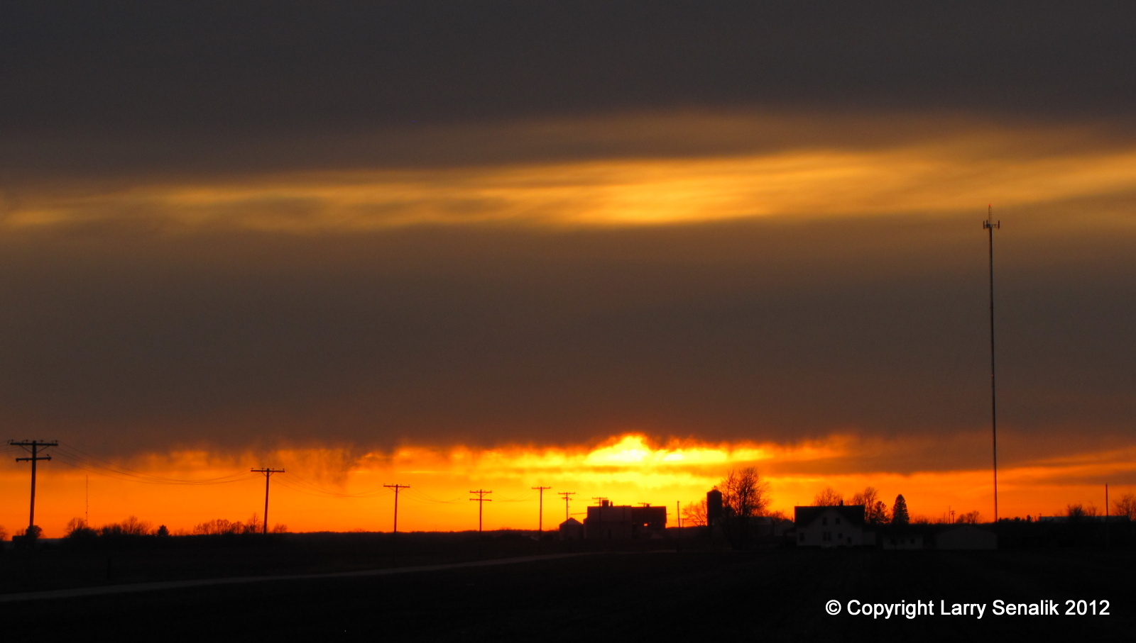
Sunset #1 - March 17, 2012
Topographic Map of IL-9, Bushnell, IL, USA
Find elevation by address:

Places near IL-9, Bushnell, IL, USA:
707 N Washington St
E Main St, Bushnell, IL, USA
Bushnell
Bushnell Township
Good Hope
E Main St, Good Hope, IL, USA
1406 N Randolph St
900 E Jefferson St
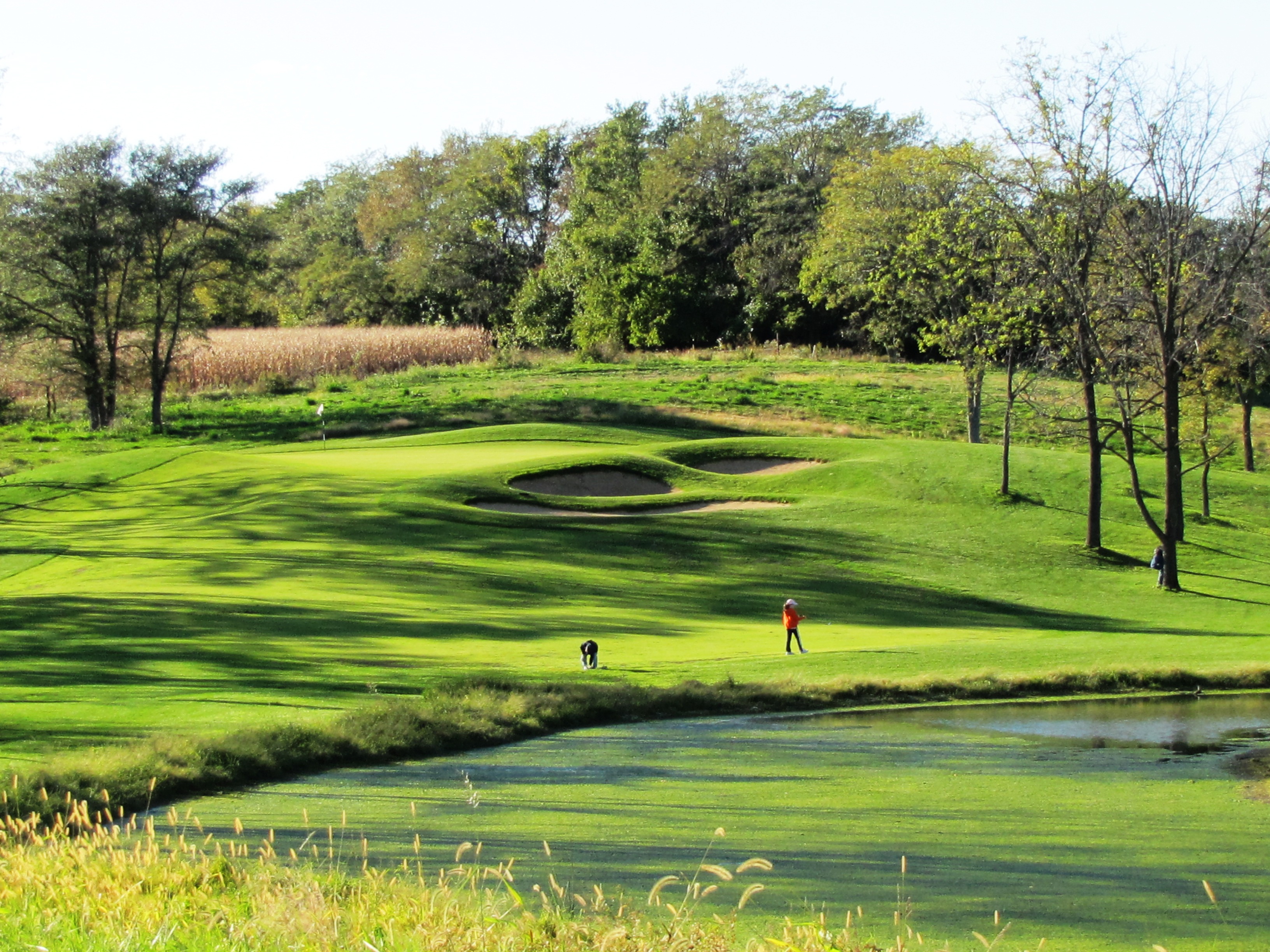
Harry Mussatto Golf Course
Macomb City Township
Westen Investments
Macomb
2 West Side Square
2 West Side Square
Western Illinois University
East Bryan Road
Waggoner Hall
1 University Cir
3 Woodland Ln, Macomb, IL, USA
Union Plaza
Recent Searches:
- Elevation of Scenic Shore Dr, Kingwood Area, TX, USA
- Elevation of W Prive Cir, Delray Beach, FL, USA
- Elevation of S Layton Cir W, Layton, UT, USA
- Elevation of F36W+3M, Mussoorie, Uttarakhand, India
- Elevation of Fairland Ave, Fairhope, AL, USA
- Elevation of Sunset Dr, Richmond, VA, USA
- Elevation of Grodna District, Hrodna Region, Belarus
- Elevation of Hrodna, Hrodna Region, Belarus
- Elevation of Sandia Derby Estates, Tijeras, NM, USA
- Elevation of 23 Sunrise View Ct, Tijeras, NM, USA