Elevation of Wolverine Peak, Montana, USA
Location: United States > Montana > Cooke City >
Longitude: -110.00935
Latitude: 45.0532727
Elevation: 3075m / 10089feet
Barometric Pressure: 69KPa
Elevation Map:
Satellite Map:
Related Photos:
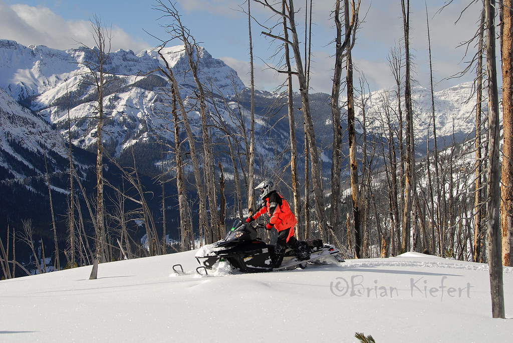
Admiring the Views
Run For Your Life
Along the Bannock Trail

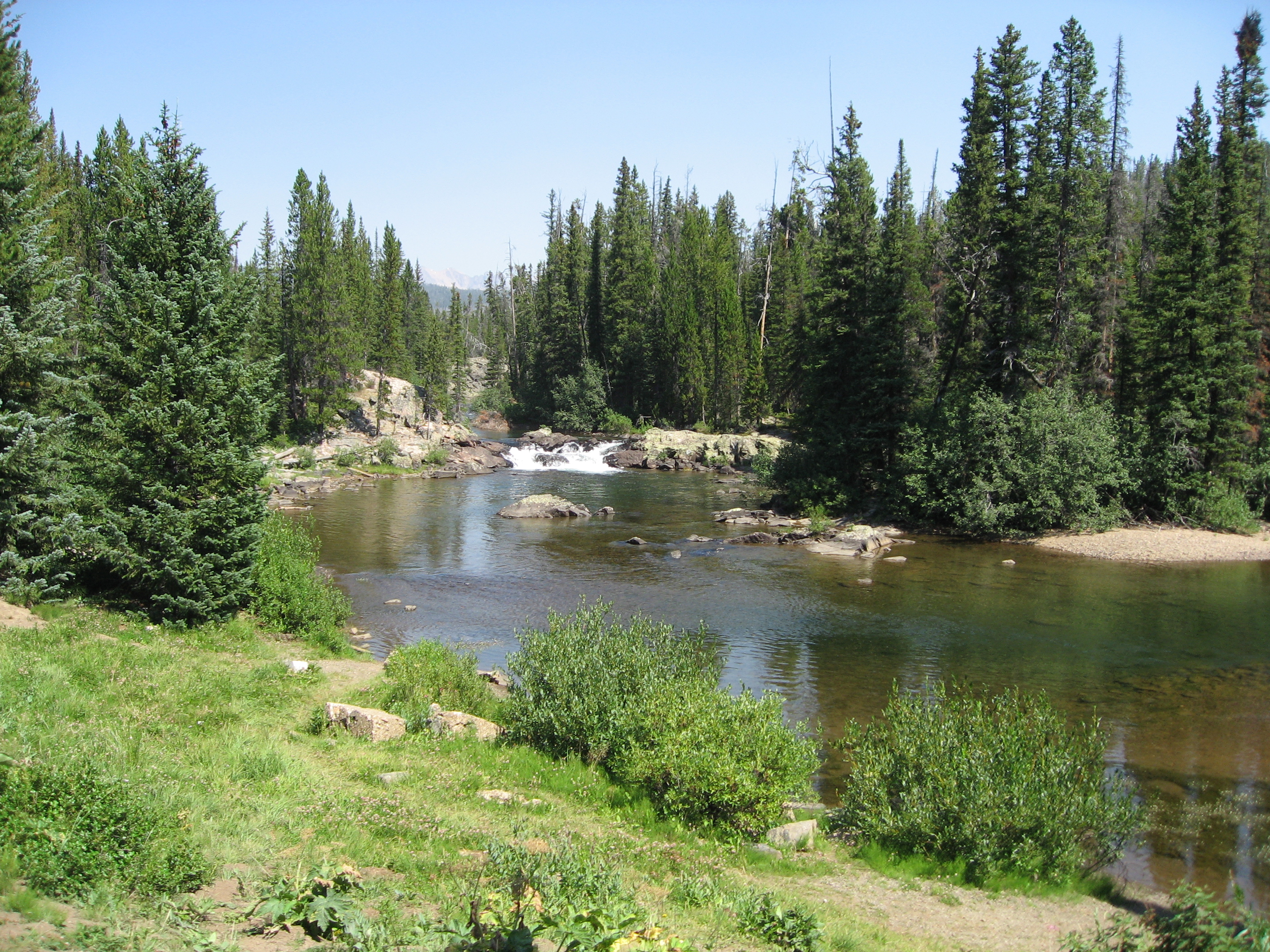
Fisherman Trout Lake
View from Yellowstone National Park at early morning
Ahh ... The Views

View from the Flume Picnic Area
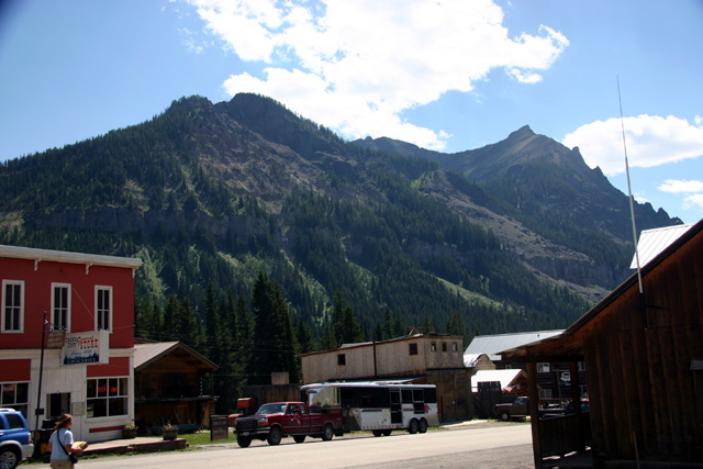
Cooke City 02
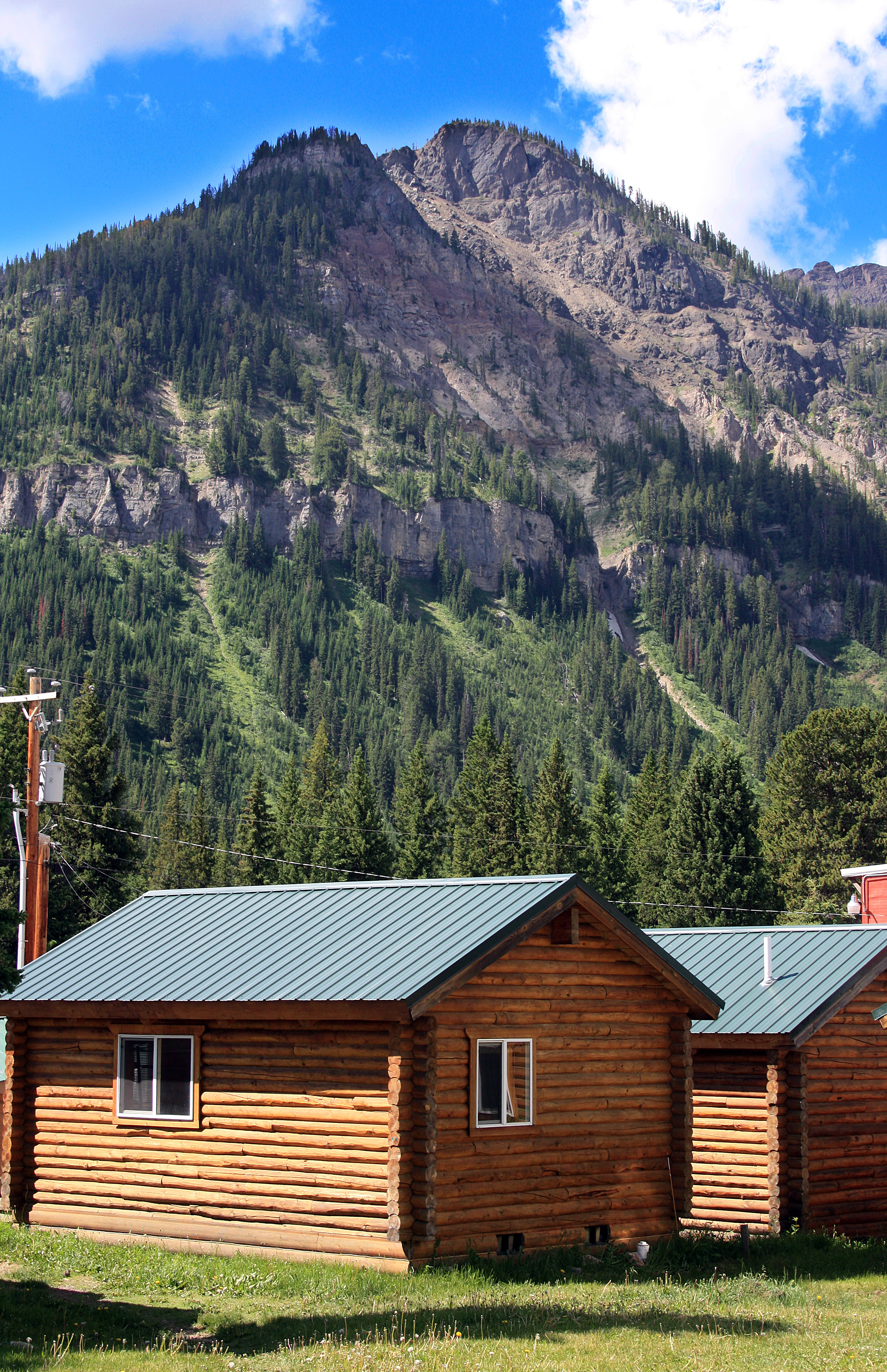
Cooke City View
Clarks Fork Trailhead view
Topographic Map of Wolverine Peak, Montana, USA
Find elevation by address:

Places near Wolverine Peak, Montana, USA:
Yellowstone Northeast Entrance Station
Silver Gate Lodging
Silver Gate
14 Larson Ln
Cooke City
Alpine Motel
Cooke City-silver Gate
Colter Campground
65 Sawmill Rd
25 Sawmill Rd
Wildcat Mountain
Lookout Mountain
Granite Peak
Beartooth Mountains
Twin Peaks
Mystic Lake
Mount Douglas
2562 Nye Rd
Absarokee High School
81 C M R Trail
Recent Searches:
- Elevation of Corso Fratelli Cairoli, 35, Macerata MC, Italy
- Elevation of Tallevast Rd, Sarasota, FL, USA
- Elevation of 4th St E, Sonoma, CA, USA
- Elevation of Black Hollow Rd, Pennsdale, PA, USA
- Elevation of Oakland Ave, Williamsport, PA, USA
- Elevation of Pedrógão Grande, Portugal
- Elevation of Klee Dr, Martinsburg, WV, USA
- Elevation of Via Roma, Pieranica CR, Italy
- Elevation of Tavkvetili Mountain, Georgia
- Elevation of Hartfords Bluff Cir, Mt Pleasant, SC, USA