Elevation of Mount Douglas, Mt Douglas, Montana, USA
Location: United States > Montana > Mc Leod >
Longitude: -110.13963
Latitude: 45.306605
Elevation: 3352m / 10997feet
Barometric Pressure: 67KPa
Elevation Map:
Satellite Map:
Related Photos:
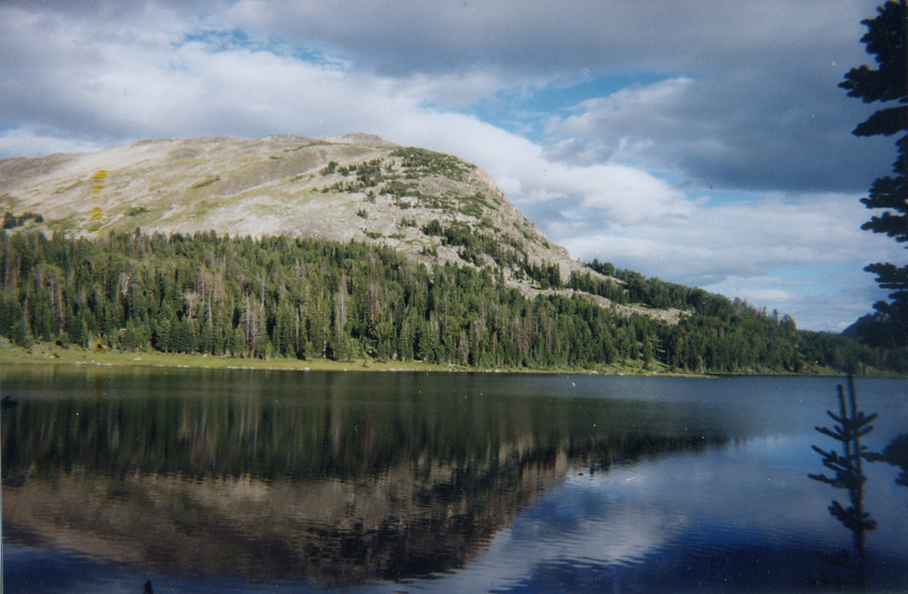
Wounded Man Lake
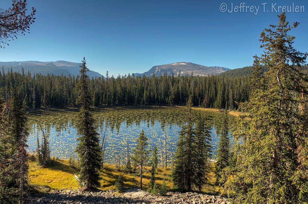
Divide Creek Lake
Topographic Map of Mount Douglas, Mt Douglas, Montana, USA
Find elevation by address:

Places near Mount Douglas, Mt Douglas, Montana, USA:
Wildcat Mountain
3319 Main Boulder Rd
Clydehurst Christian Ranch
32 Kendan Ln
Lookout Mountain
East Boulder River
Natural Bridge Falls Picnic Area
2586 Main Boulder Rd
Twin Peaks
2562 Nye Rd
Wolverine Peak
81 C M R Trail
544 W Boulder Rd
Mc Leod
Yellowstone Northeast Entrance Station
442 W Boulder Rd
Silver Gate Lodging
Silver Gate
14 Larson Ln
43 Sioux Trail
Recent Searches:
- Elevation of Corso Fratelli Cairoli, 35, Macerata MC, Italy
- Elevation of Tallevast Rd, Sarasota, FL, USA
- Elevation of 4th St E, Sonoma, CA, USA
- Elevation of Black Hollow Rd, Pennsdale, PA, USA
- Elevation of Oakland Ave, Williamsport, PA, USA
- Elevation of Pedrógão Grande, Portugal
- Elevation of Klee Dr, Martinsburg, WV, USA
- Elevation of Via Roma, Pieranica CR, Italy
- Elevation of Tavkvetili Mountain, Georgia
- Elevation of Hartfords Bluff Cir, Mt Pleasant, SC, USA