Elevation of Wildcat Mountain, Montana, USA
Location: United States > Montana > Nye >
Longitude: -110.03129
Latitude: 45.1902169
Elevation: 3100m / 10171feet
Barometric Pressure: 69KPa
Elevation Map:
Satellite Map:
Related Photos:
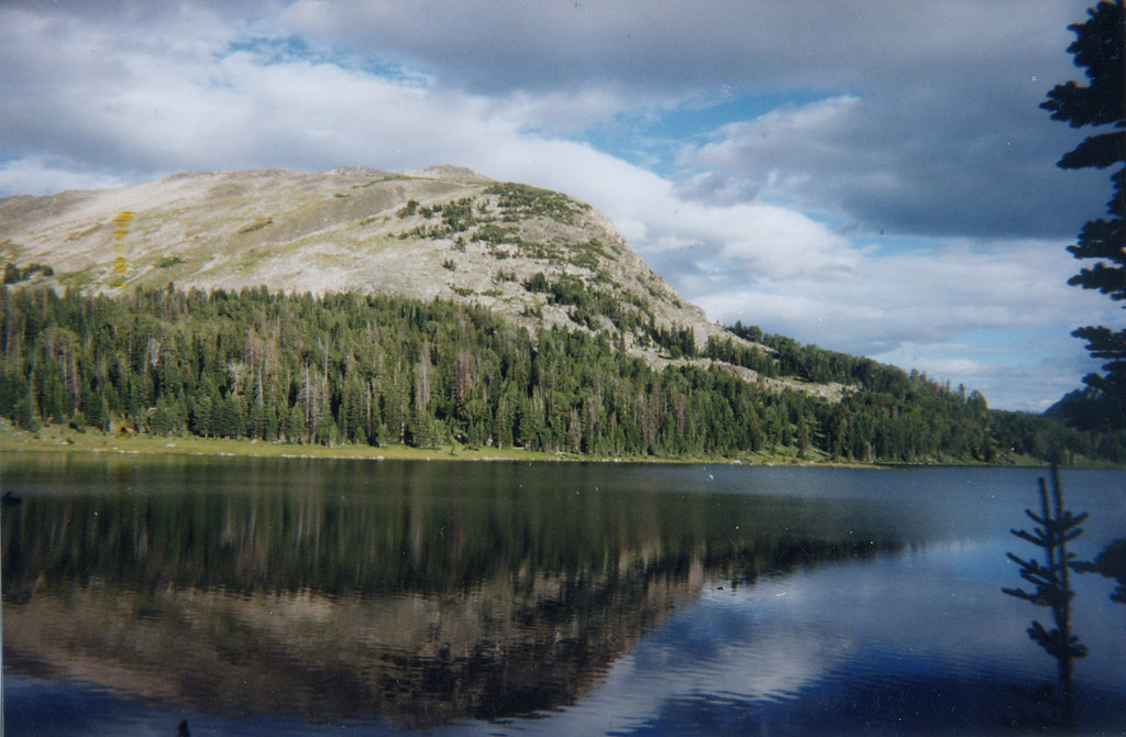
Wounded Man Lake
Topographic Map of Wildcat Mountain, Montana, USA
Find elevation by address:

Places near Wildcat Mountain, Montana, USA:
Wolverine Peak
Twin Peaks
Mount Douglas
14 Larson Ln
Yellowstone Northeast Entrance Station
Silver Gate
Silver Gate Lodging
Alpine Motel
Cooke City
Cooke City-silver Gate
Lookout Mountain
65 Sawmill Rd
Colter Campground
25 Sawmill Rd
Granite Peak
Beartooth Mountains
Mystic Lake
2562 Nye Rd
81 C M R Trail
43 Sioux Trail
Recent Searches:
- Elevation of Corso Fratelli Cairoli, 35, Macerata MC, Italy
- Elevation of Tallevast Rd, Sarasota, FL, USA
- Elevation of 4th St E, Sonoma, CA, USA
- Elevation of Black Hollow Rd, Pennsdale, PA, USA
- Elevation of Oakland Ave, Williamsport, PA, USA
- Elevation of Pedrógão Grande, Portugal
- Elevation of Klee Dr, Martinsburg, WV, USA
- Elevation of Via Roma, Pieranica CR, Italy
- Elevation of Tavkvetili Mountain, Georgia
- Elevation of Hartfords Bluff Cir, Mt Pleasant, SC, USA