Elevation of Lookout Mountain, Montana, USA
Location: United States > Montana > Cooke City >
Longitude: -110.21880
Latitude: 45.0952161
Elevation: 2927m / 9603feet
Barometric Pressure: 71KPa
Elevation Map:
Satellite Map:
Related Photos:

Slough Creek Valley
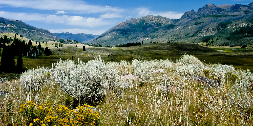
Slough Creek Valley
Topographic Map of Lookout Mountain, Montana, USA
Find elevation by address:

Places near Lookout Mountain, Montana, USA:
Wildcat Mountain
Wolverine Peak
Mount Douglas
Yellowstone Northeast Entrance Station
Silver Gate Lodging
Silver Gate
14 Larson Ln
Cooke City
Alpine Motel
Cooke City-silver Gate
Passage Falls
Ash Mountain
Colter Campground
65 Sawmill Rd
25 Sawmill Rd
Twin Peaks
3319 Main Boulder Rd
Clydehurst Christian Ranch
32 Kendan Ln
Bald Mountain
Recent Searches:
- Elevation of Corso Fratelli Cairoli, 35, Macerata MC, Italy
- Elevation of Tallevast Rd, Sarasota, FL, USA
- Elevation of 4th St E, Sonoma, CA, USA
- Elevation of Black Hollow Rd, Pennsdale, PA, USA
- Elevation of Oakland Ave, Williamsport, PA, USA
- Elevation of Pedrógão Grande, Portugal
- Elevation of Klee Dr, Martinsburg, WV, USA
- Elevation of Via Roma, Pieranica CR, Italy
- Elevation of Tavkvetili Mountain, Georgia
- Elevation of Hartfords Bluff Cir, Mt Pleasant, SC, USA