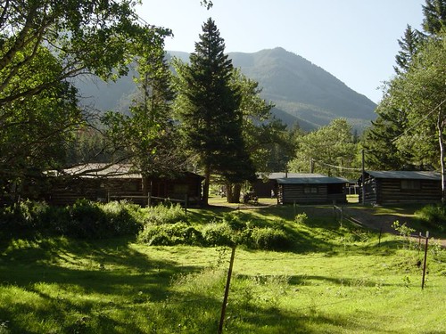
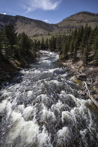
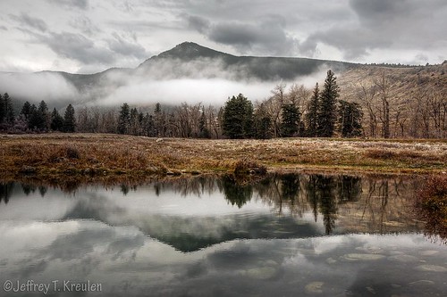
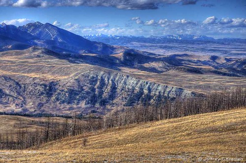
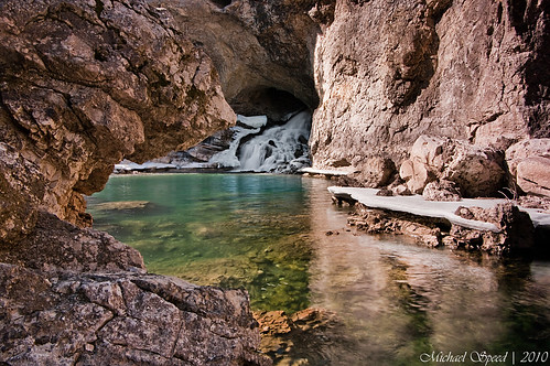
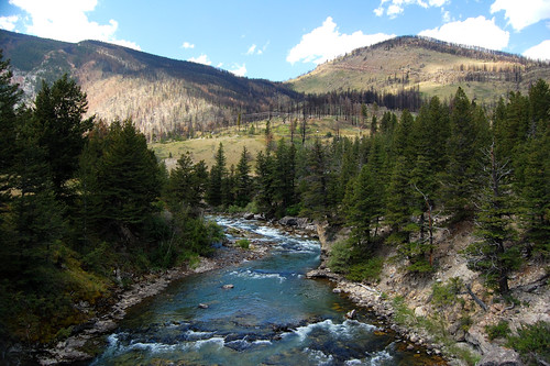
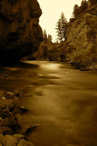
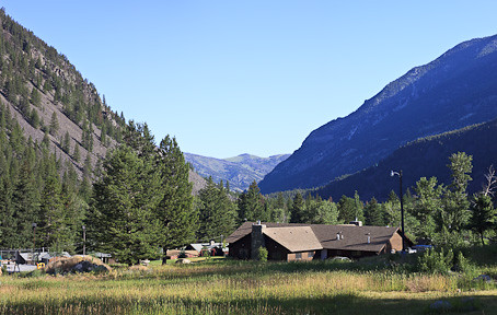
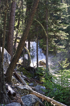
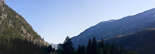
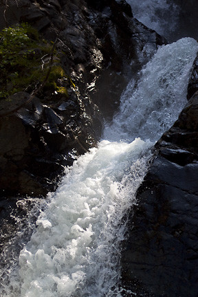
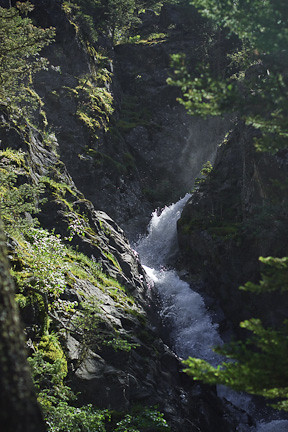
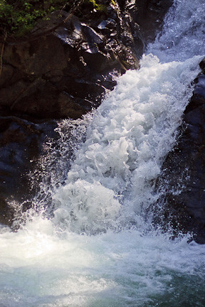
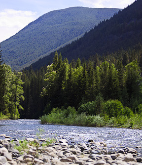
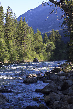
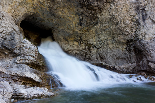
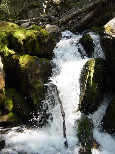
Elevation of Clydehurst Christian Ranch, Main Boulder Rd, Mc Leod, MT, USA
Location: United States > Montana > Sweet Grass County >
Longitude: -110.19881
Latitude: 45.461369
Elevation: 1631m / 5351feet
Barometric Pressure: 83KPa
Related Photos:
Topographic Map of Clydehurst Christian Ranch, Main Boulder Rd, Mc Leod, MT, USA
Find elevation by address:

Places near Clydehurst Christian Ranch, Main Boulder Rd, Mc Leod, MT, USA:
3319 Main Boulder Rd
32 Kendan Ln
Natural Bridge Falls Picnic Area
2586 Main Boulder Rd
East Boulder River
Mc Leod
544 W Boulder Rd
Mount Douglas
442 W Boulder Rd
Mcleod
143 Mission Meadow Rd
Black Mountain
Iron Mountain
Interstate 90 Frontage Rd, Big Timber, MT, USA
Wildcat Mountain
Swingley Rd, Livingston, MT, USA
2562 Nye Rd
81 C M R Trail
Luccock Park Rd, Livingston, MT, USA
46 Above Paradise Trail
Recent Searches:
- Elevation of Corso Fratelli Cairoli, 35, Macerata MC, Italy
- Elevation of Tallevast Rd, Sarasota, FL, USA
- Elevation of 4th St E, Sonoma, CA, USA
- Elevation of Black Hollow Rd, Pennsdale, PA, USA
- Elevation of Oakland Ave, Williamsport, PA, USA
- Elevation of Pedrógão Grande, Portugal
- Elevation of Klee Dr, Martinsburg, WV, USA
- Elevation of Via Roma, Pieranica CR, Italy
- Elevation of Tavkvetili Mountain, Georgia
- Elevation of Hartfords Bluff Cir, Mt Pleasant, SC, USA
