Elevation of Absarokee High School, MT, USA

Location: United States > Montana > Stillwater County >

Longitude: -109.77414

Latitude: 45.3579904

Elevation: 2429m / 7969feet

Barometric Pressure: 75KPa

Elevation Map:

elevation map of Absarokee High School, MT, USA

Satellite Map:

Satellite map of Absarokee High School, MT, USA

Related Photos:

montana nye limestonebutte trees snow sunset mountain ridge field fence telephonepole stillwatervalley westforkofthestillwater stillwatercounty wyojones
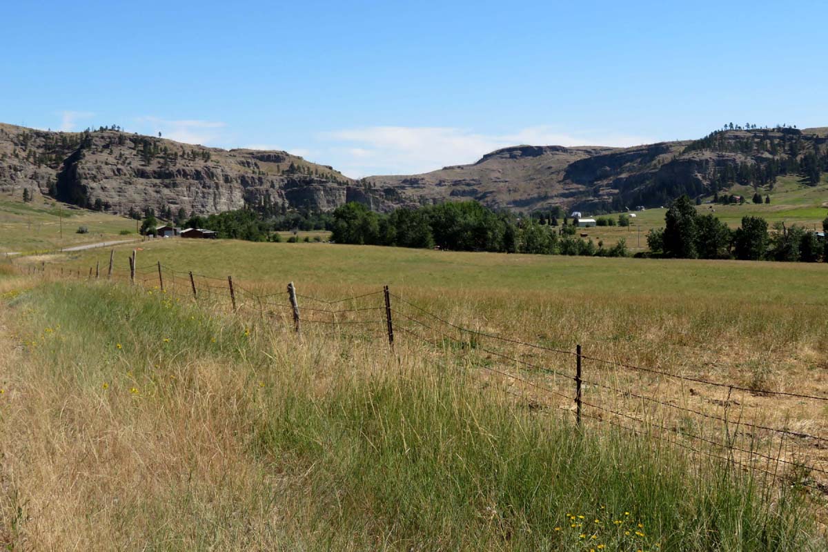
Limestone Butte Rises above the Stillwater Valley
montana stillwaterriver nyemontana beartoothrockies montanarockies beartoothmountains epsonv500 geotagged
Stillwater Valley in the Beartooth Rockies - 1974
montana beehive stillwatercounty townsite
Beehive, Montana
stillwaterriver unidentifiedmountain custernationalforest nye montana unidentifiedmountains usa river mountain mountains landscape bridge stillwatercanyon stillwatergorge trees fields westernusatrip2018 2018 appleiphonex iphonex iphone iphonexbackcamera iphonepanorama iphonexpanorama appleiphonexpanorama panorama beartoothmountains stillwatercounty iphonephotography shotoniphone
Stillwater River, Beartooth Mountains, & Custer National Forest, Nye, Montana
stillwaterrivercanyon nye montana usa stillwaterriver canyon absarokee mt ushwy420 stillwaterriverroad custergallatinnationalforest shoshonenationalforest absarokabeartoothwilderness stillwaterrivertrail platinumpalladiummine northamerica jacknye appleiphonex iphonex iphonexbackcamera iphone panorama iponexpanorama unlimitedphotos iphonephotography shotoniphone
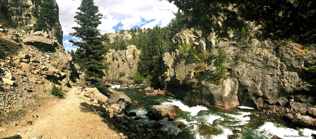
Stillwater River Canyon, Nye, Montana, USA
ocean old travel blue winter summer vacation sky usa cloud sun white mountain snow tractor cold tree green history abandoned ice nature beautiful beauty field grass wheel rock fog clouds rural vintage season landscape photography nikon montana frost day view natural outdoor snowy antique farm background country machine peak brush retro adventure equipment machinery vehicle environment icy agriculture treeline climate d3100
The Declaration
montana beartoothrockies nyemontana stillwaterriver geotagged
Montana's Stillwater River is Anything But Still - 1974
montana stillwaterriver stillwatercounty hikingmontana fallcolormontana
Hiking Trail along the Stillwater River
milkyway montana montanamoment mystic westrosebud woods august camping dark darkness explore forest galaxy light lightpaint lightpainting longexposure night outdoor portfolio stars summer tents trees universe wanderlust wild wilderness
Forest Nights
montana nye postoffice stillwatercounty
Nye, Montana 59061
mysticlake beartooths camping hiking lake mountains portfolio posted trail wild wilderness adventure wanderlust explore wander montana montanamoment
Window in the Woods
montana dean beartoothmountains townsite stillwatercounty
Dean, Montana
trees macro beauty landscape montana waterfalls woodbinefalls michaelspeed thestillwaterriver oneawesomedayinthesun waterfallsofmontana woodbinefallsmontana
How about Straight up?
Mouat Mine
montana nye mountain ridge moraine glacialdeposists erratics glacial kettle depression pond lake boulders water panorama geology geomorpology turcopond wyojones
Morainal Pond
montana montanamoment cliffs mountains beartooths beartoothmountains stillwater river stillwaterriver outdoor explore wander wanderlust adventure wild wilderness spring snow
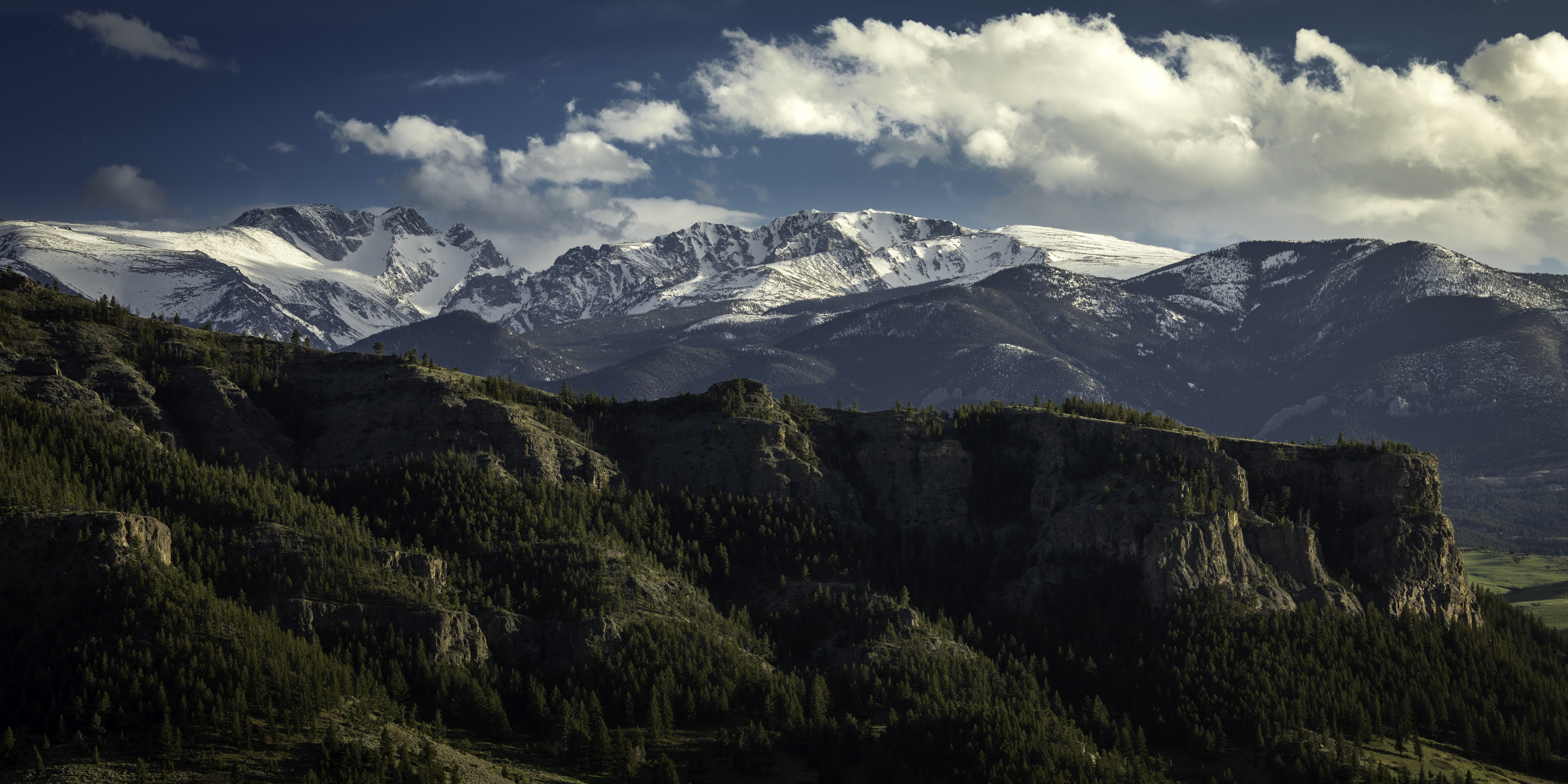
Cliffs Among Mountains
pictures travel trees usa cloud mountain lake storm mountains west tree nature water rain weather clouds landscape photography us photo nikon montana mt unitedstates photos picture july stormy rainy western mtn 2008 hdr mystic d3 mtns beartoothmountains beartooth mysticlake beartooths nikond3 therebeastormabrewin photocontesttnc08 montanathunderstorms
Mystic Lake
histor historic farm machinery landscape montana rural
Old Tractor near Nye (IR)
historic farm machinery landscape montana rural
Old Tractor near Nye
montana mouatmine stillwatercounty beartoothmountains road
Mouat Mine, Montana
hill cabins grass landscape montana
Beneath the Heights
montana mouatmine stillwatercounty beartoothmountains
Mouat Mine, Montana
photographybychrissknisley drone mt montana mavik aerial nye unitedstates us
DJI_0030.jpg
photographybychrissknisley mt drone montana dji mavik aerial nye unitedstates us
MT17-20170719-0959.29.jpg
photographybychrissknisley drone mt montana mavik aerial nye unitedstates us
DJI_0025.jpg
Montana Rapids Wilderness
travel blue sky plants usa dog pet storm mountains cute nature beautiful beauty field grass animal animals clouds puppy outdoors photography nikon montana candid brush adventure collar dalmatian d3100
Run Rojo, Run!