Elevation map of Stillwater County, MT, USA
Location: United States > Montana >
Longitude: -109.39224
Latitude: 45.7001096
Elevation: 1118m / 3668feet
Barometric Pressure: 89KPa
Elevation Map:
Satellite Map:
Related Photos:

Foggy Morn

Columbus, Montana 59019
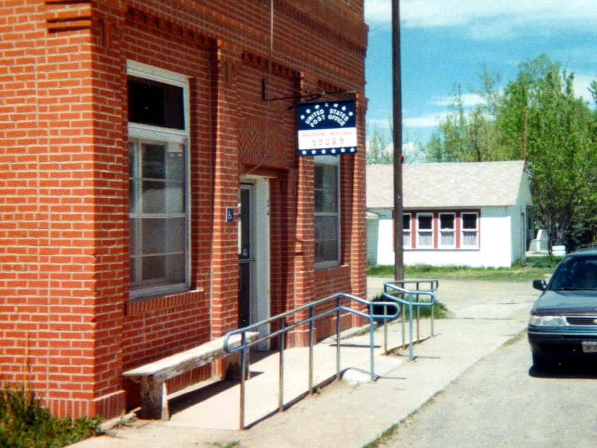
Reed Point, Montana 59069
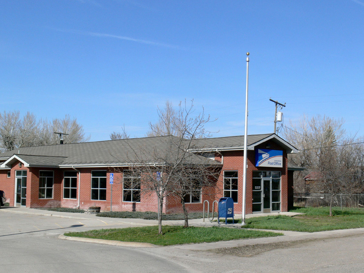
Reed Point, Montana 59069

Rainy interstate landscape [2].

Misty Morning

Another Montana Sunset

North Dakota Rainbow

Jet trails over the Yellowstone

The Color of Cold

Rainy interstate landscape [1].
Topographic Map of Stillwater County, MT, USA
Find elevation by address:

Places in Stillwater County, MT, USA:
Places near Stillwater County, MT, USA:
61 Balfour Loop Rd
24 Mountain Vista Rd
Reed Point
Columbus
Columbus, MT, USA
Itch-kep-pe Park
1045 E 2nd Ave N
193 Upper Hawk Valley Rd
Absarokee
28 S Yellowstone Stage Trail Rd
274 Shane Ridge Rd
84 Beartooth Ln
5 Work Creek Rd
Fishtail
17 Horseapple Rd
Eagles Nest Road
Stara Tukan Road
Rapelje, MT, USA
207 Election Rd
5 Midnight Canyon Rd 5 Lot #5
Recent Searches:
- Elevation of Corso Fratelli Cairoli, 35, Macerata MC, Italy
- Elevation of Tallevast Rd, Sarasota, FL, USA
- Elevation of 4th St E, Sonoma, CA, USA
- Elevation of Black Hollow Rd, Pennsdale, PA, USA
- Elevation of Oakland Ave, Williamsport, PA, USA
- Elevation of Pedrógão Grande, Portugal
- Elevation of Klee Dr, Martinsburg, WV, USA
- Elevation of Via Roma, Pieranica CR, Italy
- Elevation of Tavkvetili Mountain, Georgia
- Elevation of Hartfords Bluff Cir, Mt Pleasant, SC, USA