Elevation of 84 Beartooth Ln, Columbus, MT, USA
Location: United States > Montana > Stillwater County > Columbus >
Longitude: -109.2266073
Latitude: 45.5577585
Elevation: 1318m / 4324feet
Barometric Pressure: 0KPa
Related Photos:

Columbus, Montana 59019
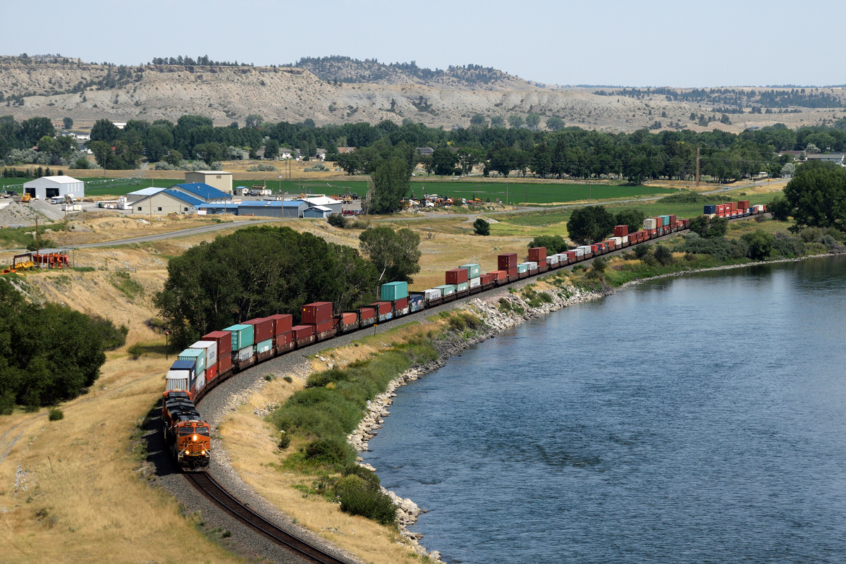
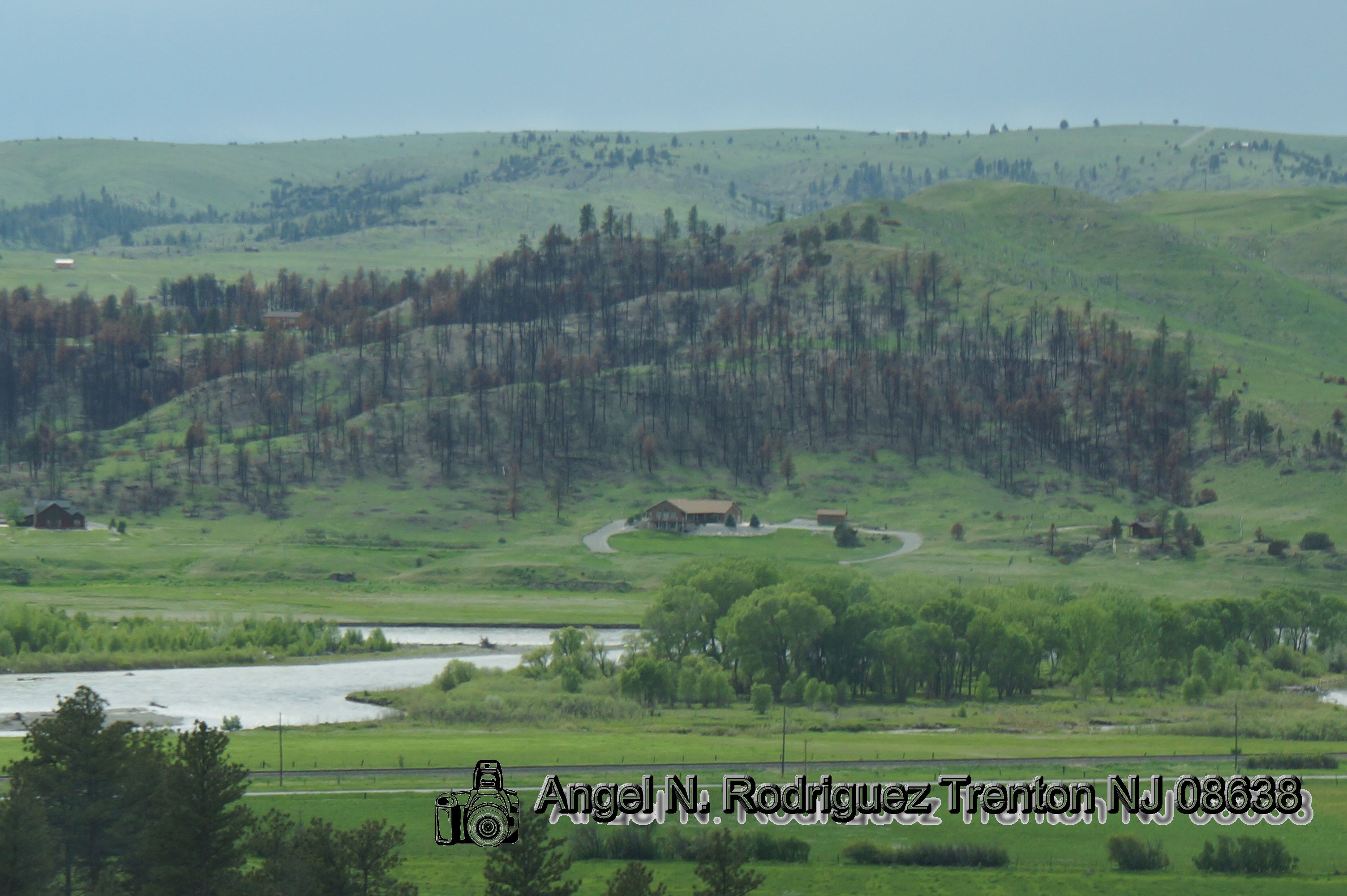
Stacks along the Yellowstone
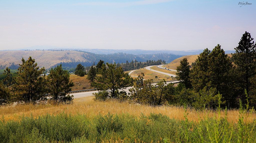
Smokey Haze
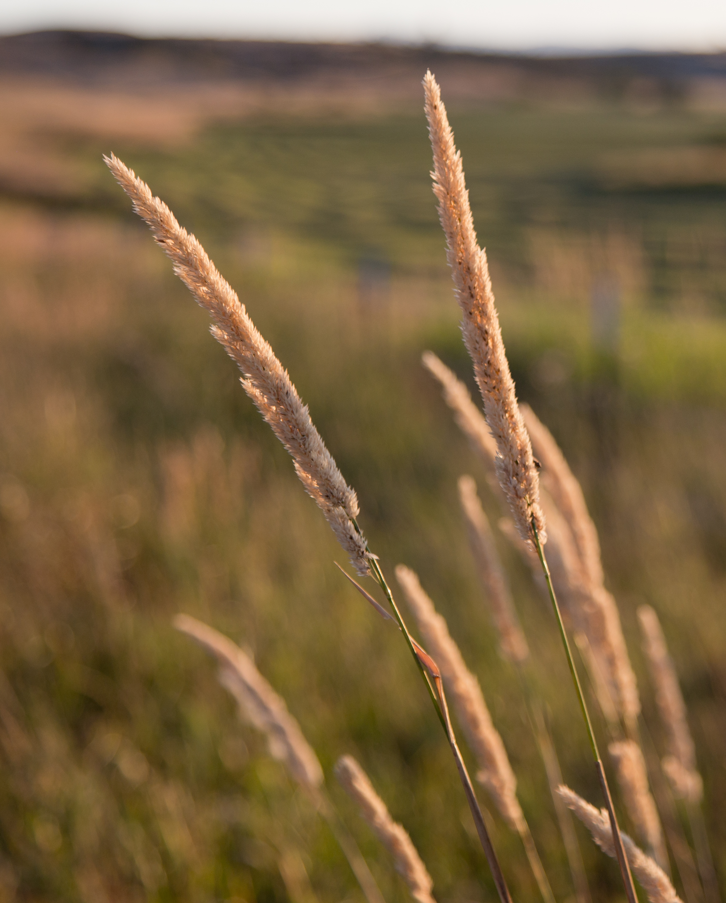
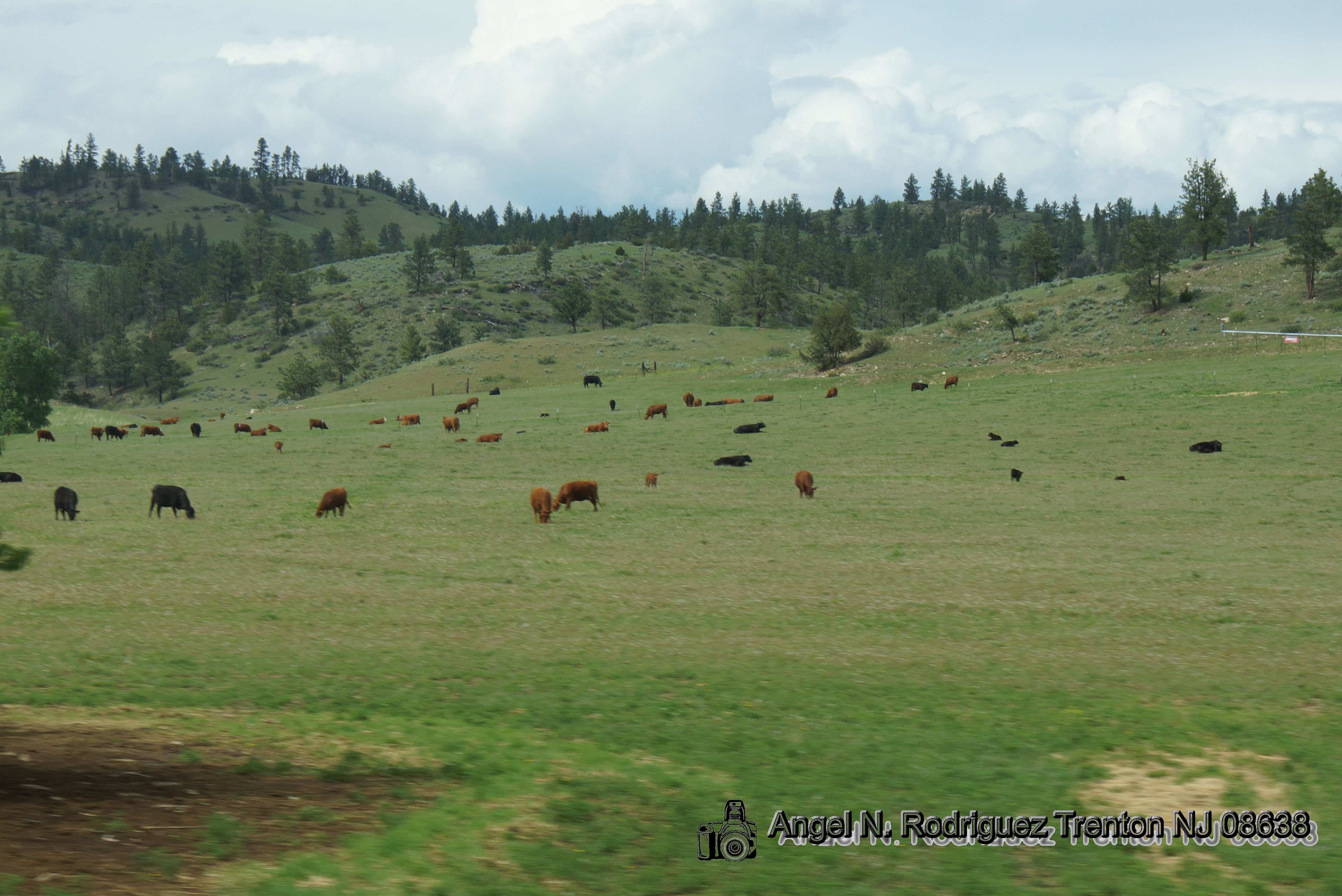
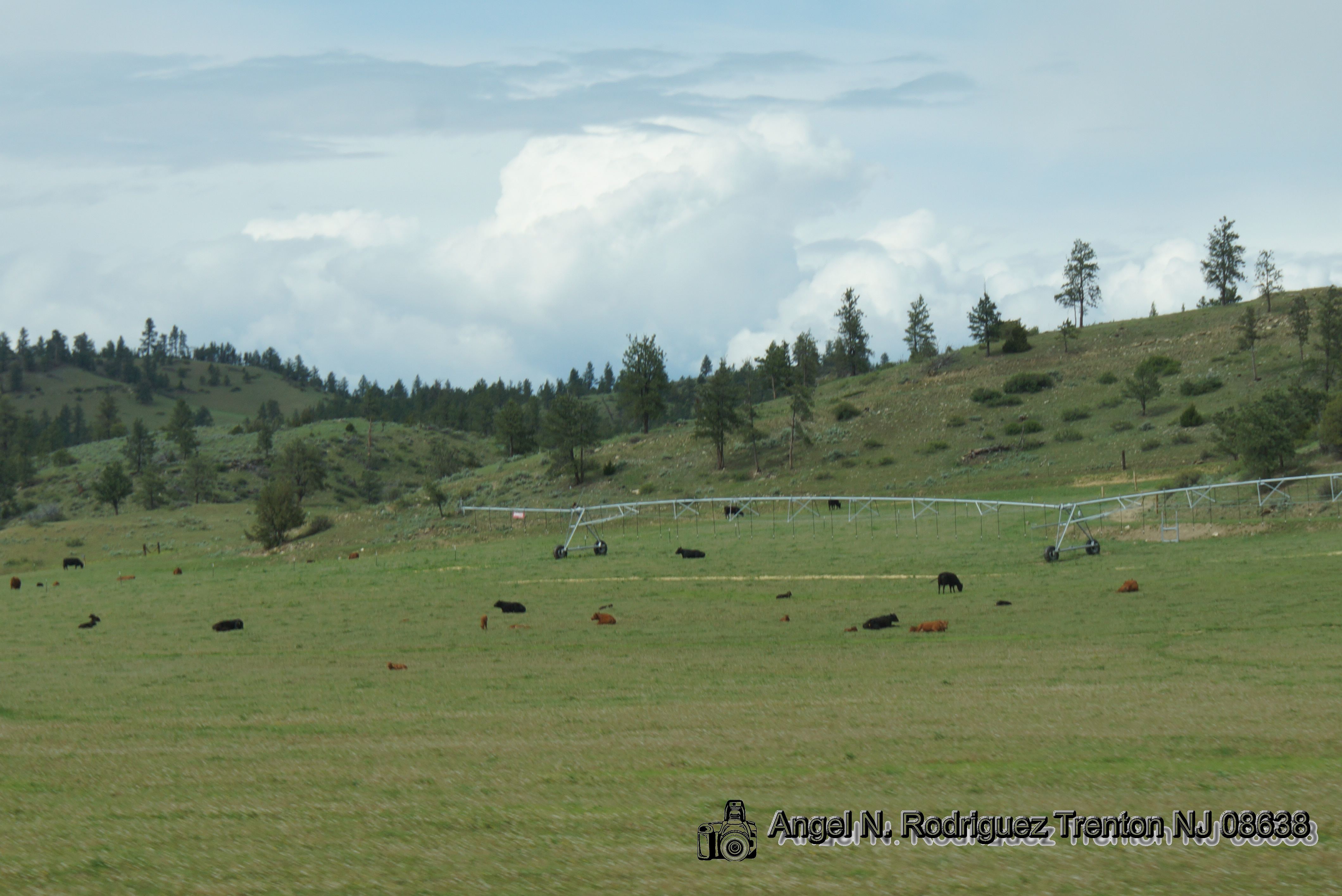
Montana Grass

Truck_091311_LR-127.jpg

Another Montana Sunset
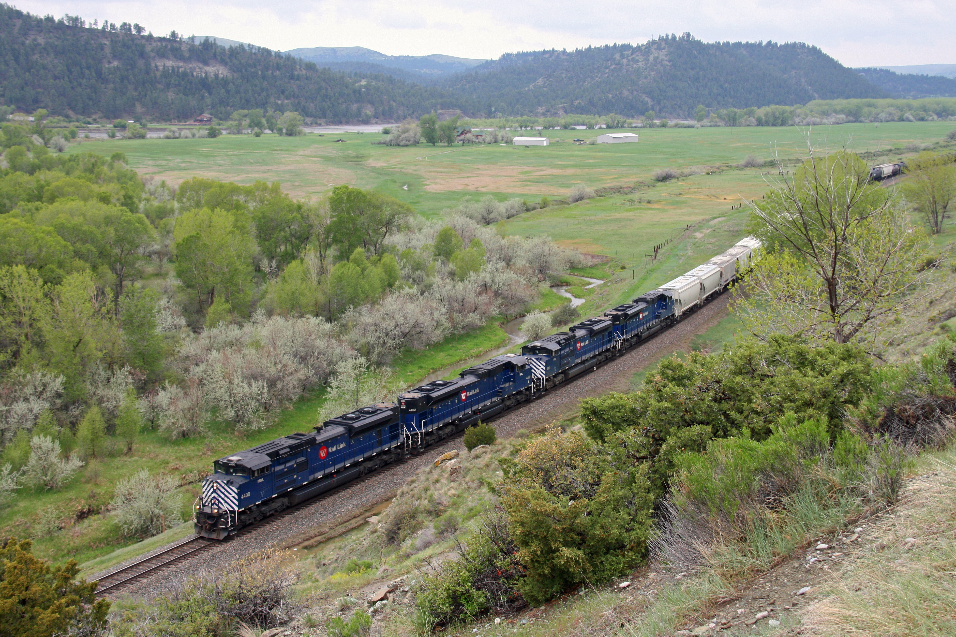
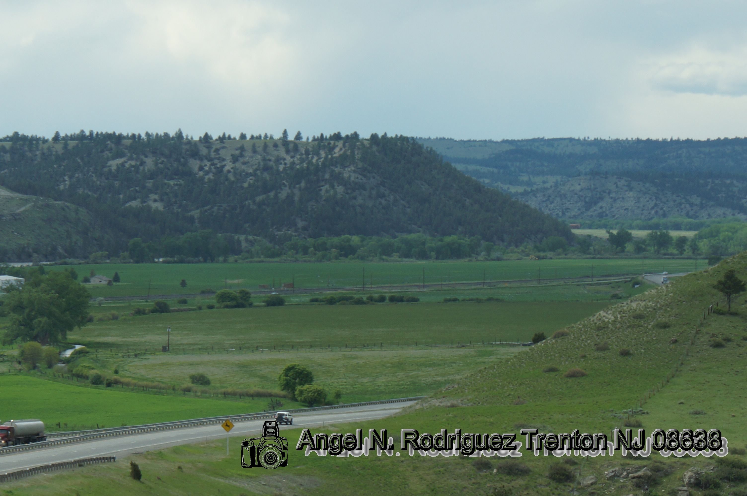
MRL 2nd Subdivision
Beartooth Mountains DSC_5349
Beartooth Mountains DSC_5351

Road Trip 2012 - 0602
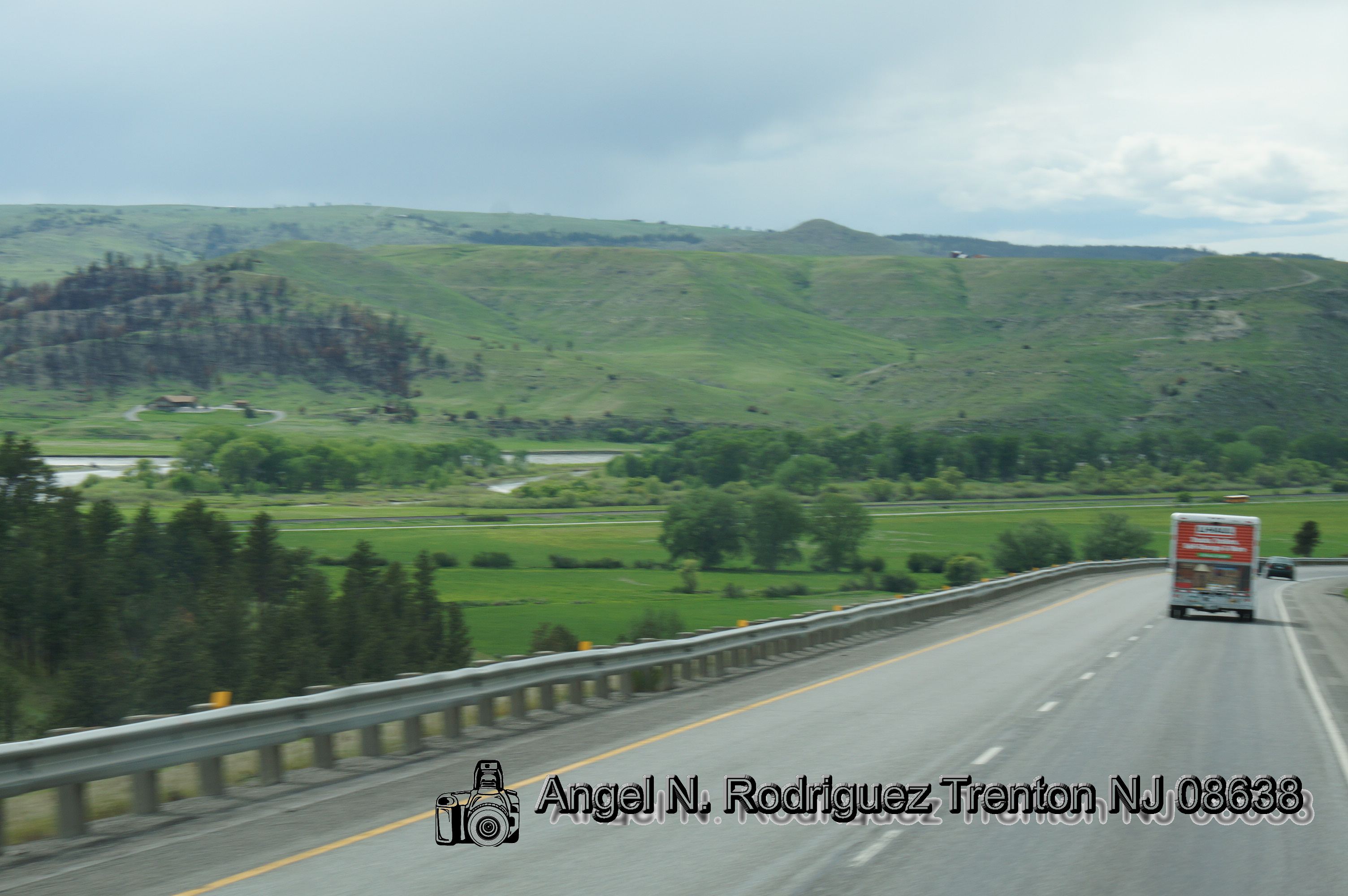
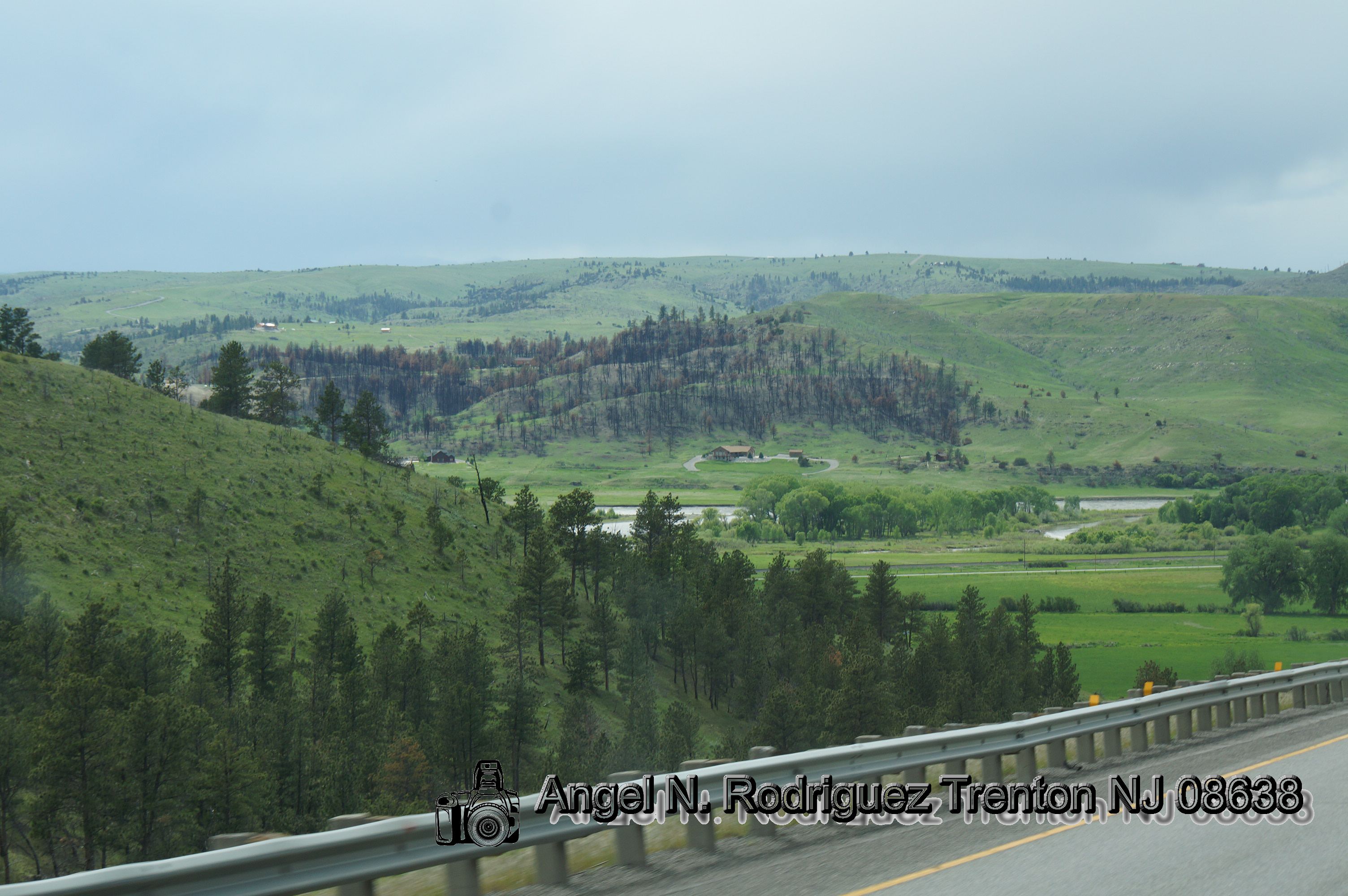
Rainy interstate landscape [2].
The Color of Cold
Wyoming Utah

Wyoming Utah

Wyoming area
Wyoming area

Wyoming area
Wyoming Utah
Wyoming Utah
Wyoming Utah
Wyoming Utah
Wyoming area
Topographic Map of 84 Beartooth Ln, Columbus, MT, USA
Find elevation by address:

Places near 84 Beartooth Ln, Columbus, MT, USA:
274 Shane Ridge Rd
Columbus, MT, USA
Itch-kep-pe Park
1045 E 2nd Ave N
Columbus
193 Upper Hawk Valley Rd
24 Mountain Vista Rd
17 Horseapple Rd
Stara Tukan Road
Eagles Nest Road
40 Jc Ln
207 Election Rd
7 1st St, Roberts, MT, USA
Boyd
Roberts
61 Balfour Loop Rd
Stillwater County
Absarokee
77 Eagle Point Ln
Fishtail
Recent Searches:
- Elevation of North 8th Street, Palatka, Putnam County, Florida, 32177, USA
- Elevation of 107, Big Apple Road, East Palatka, Putnam County, Florida, 32131, USA
- Elevation of Jiezi, Chongzhou City, Sichuan, China
- Elevation of Chongzhou City, Sichuan, China
- Elevation of Huaiyuan, Chongzhou City, Sichuan, China
- Elevation of Qingxia, Chengdu, Sichuan, China
- Elevation of Corso Fratelli Cairoli, 35, Macerata MC, Italy
- Elevation of Tallevast Rd, Sarasota, FL, USA
- Elevation of 4th St E, Sonoma, CA, USA
- Elevation of Black Hollow Rd, Pennsdale, PA, USA
- Elevation of Oakland Ave, Williamsport, PA, USA
- Elevation of Pedrógão Grande, Portugal
- Elevation of Klee Dr, Martinsburg, WV, USA
- Elevation of Via Roma, Pieranica CR, Italy
- Elevation of Tavkvetili Mountain, Georgia
- Elevation of Hartfords Bluff Cir, Mt Pleasant, SC, USA
- Elevation of SW Barberry Dr, Beaverton, OR, USA
- Elevation of Old Ahsahka Grade, Ahsahka, ID, USA
- Elevation of State Hwy F, Pacific, MO, USA
- Elevation of Chemin de Bel air, Chem. de Bel air, Mougins, France