Elevation of Election Rd, Roberts, MT, USA
Location: United States > Montana > Carbon County > Roberts >
Longitude: -109.284482
Latitude: 45.384613
Elevation: 1441m / 4728feet
Barometric Pressure: 0KPa
Related Photos:
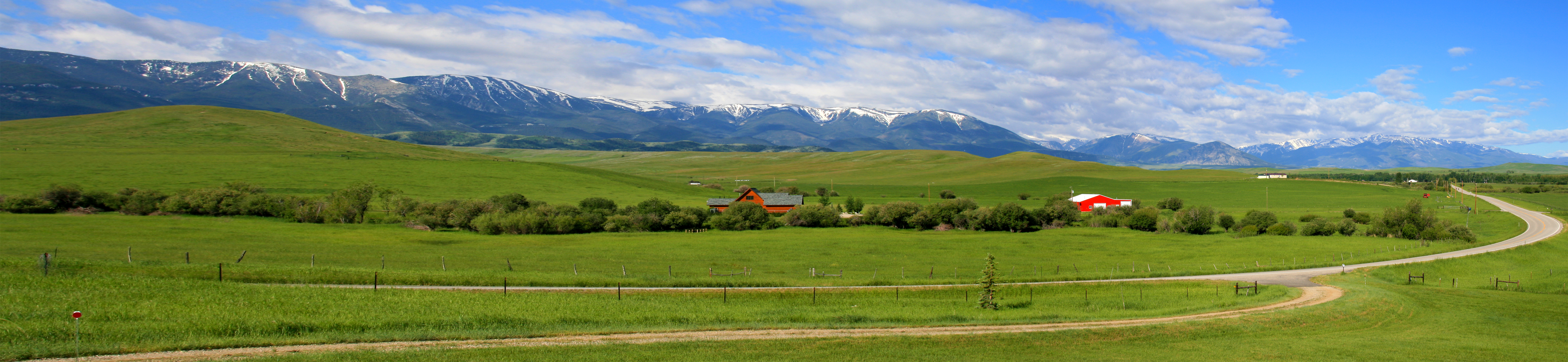
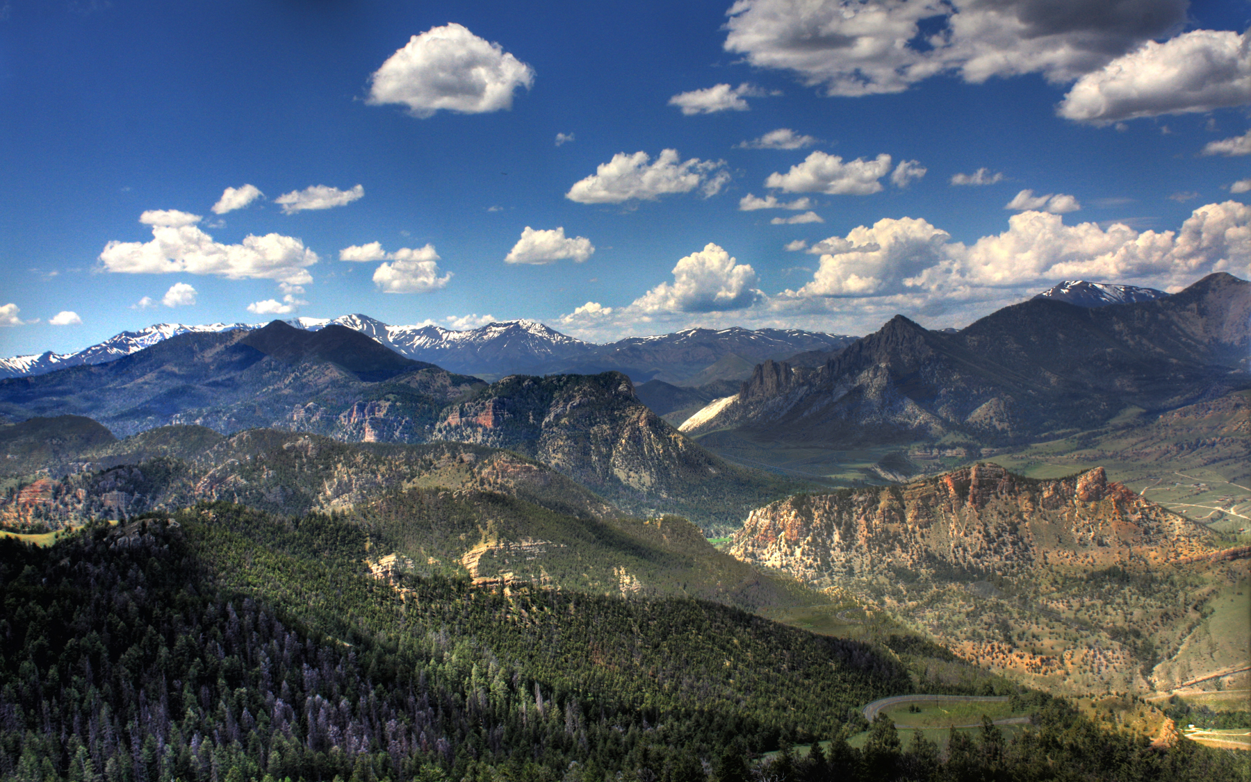
Beartooth Mountian Range Panorama
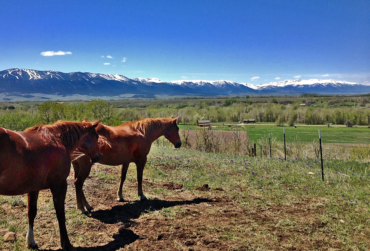
Enjoying the View
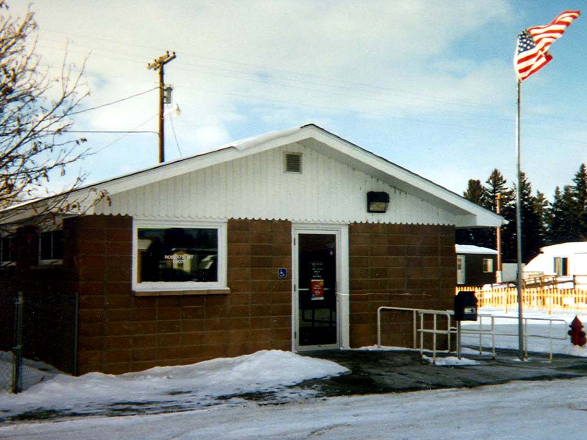
Roberts, Montana 59070
Foothill highlights
Vacation Home
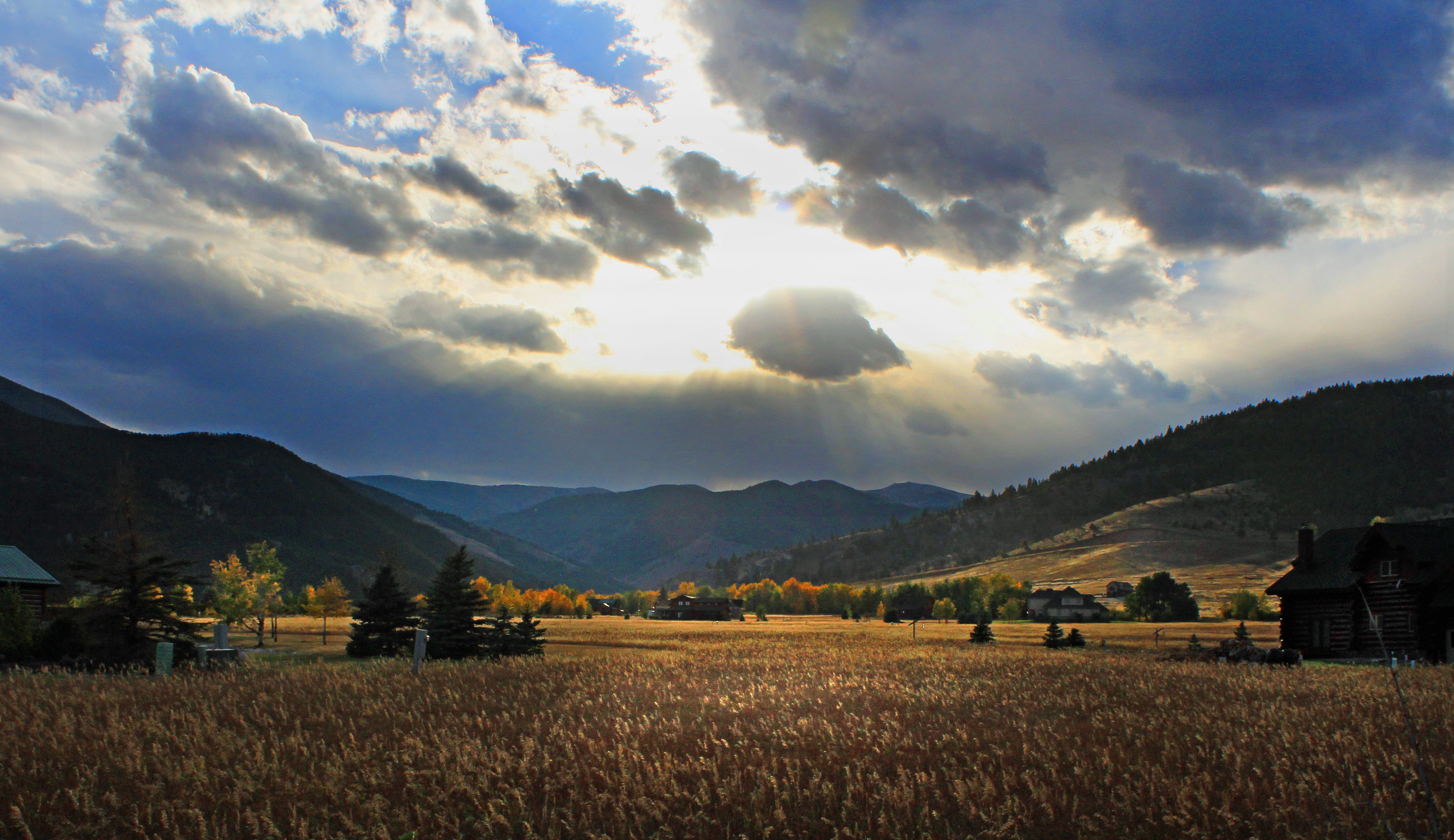
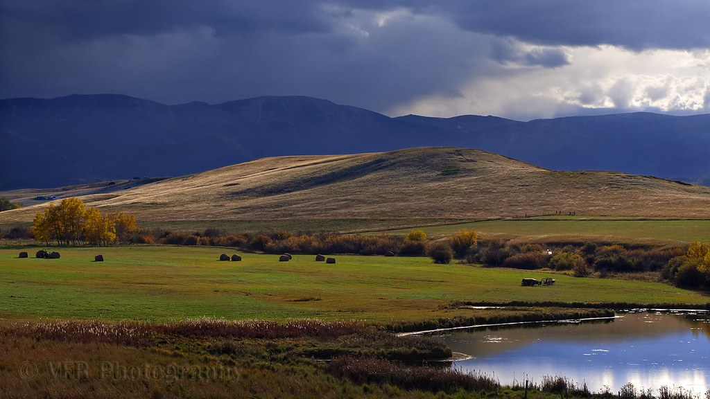
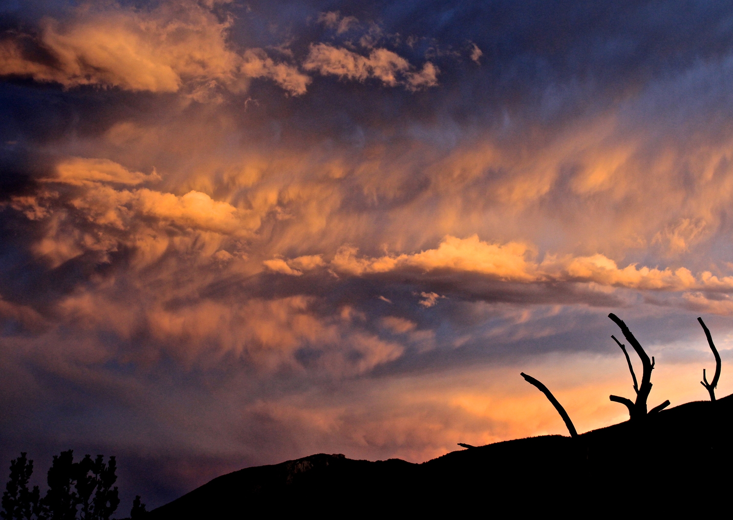
Autumn Storm
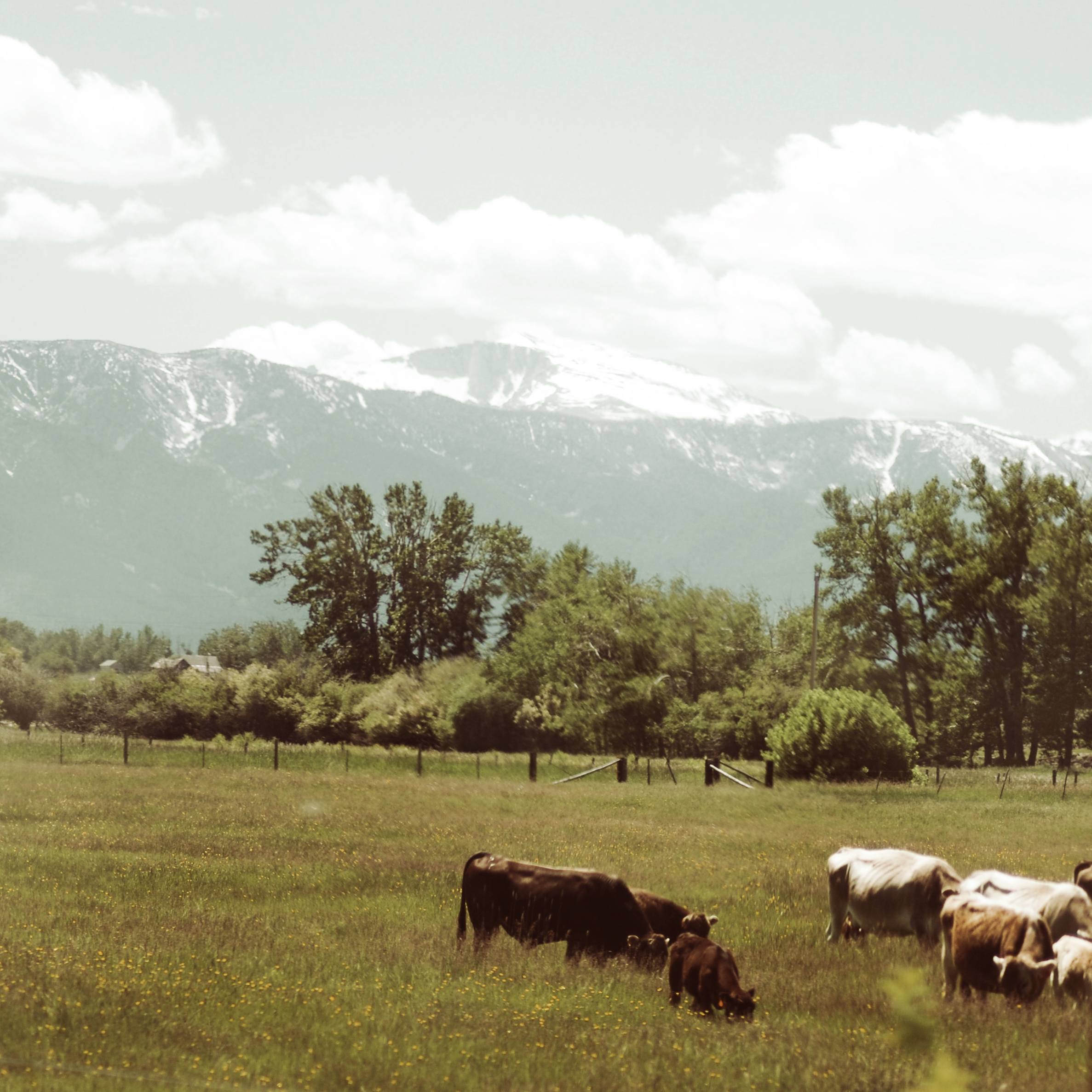
Cooms Ranch
Montana-43
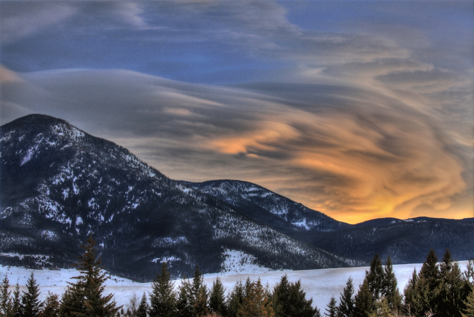
Palisades Sunset
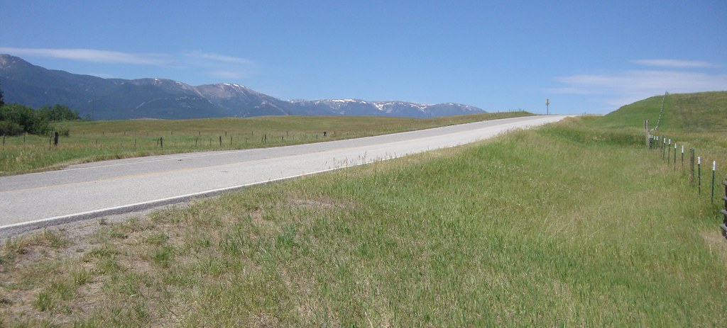
Chief Joseph Hwy
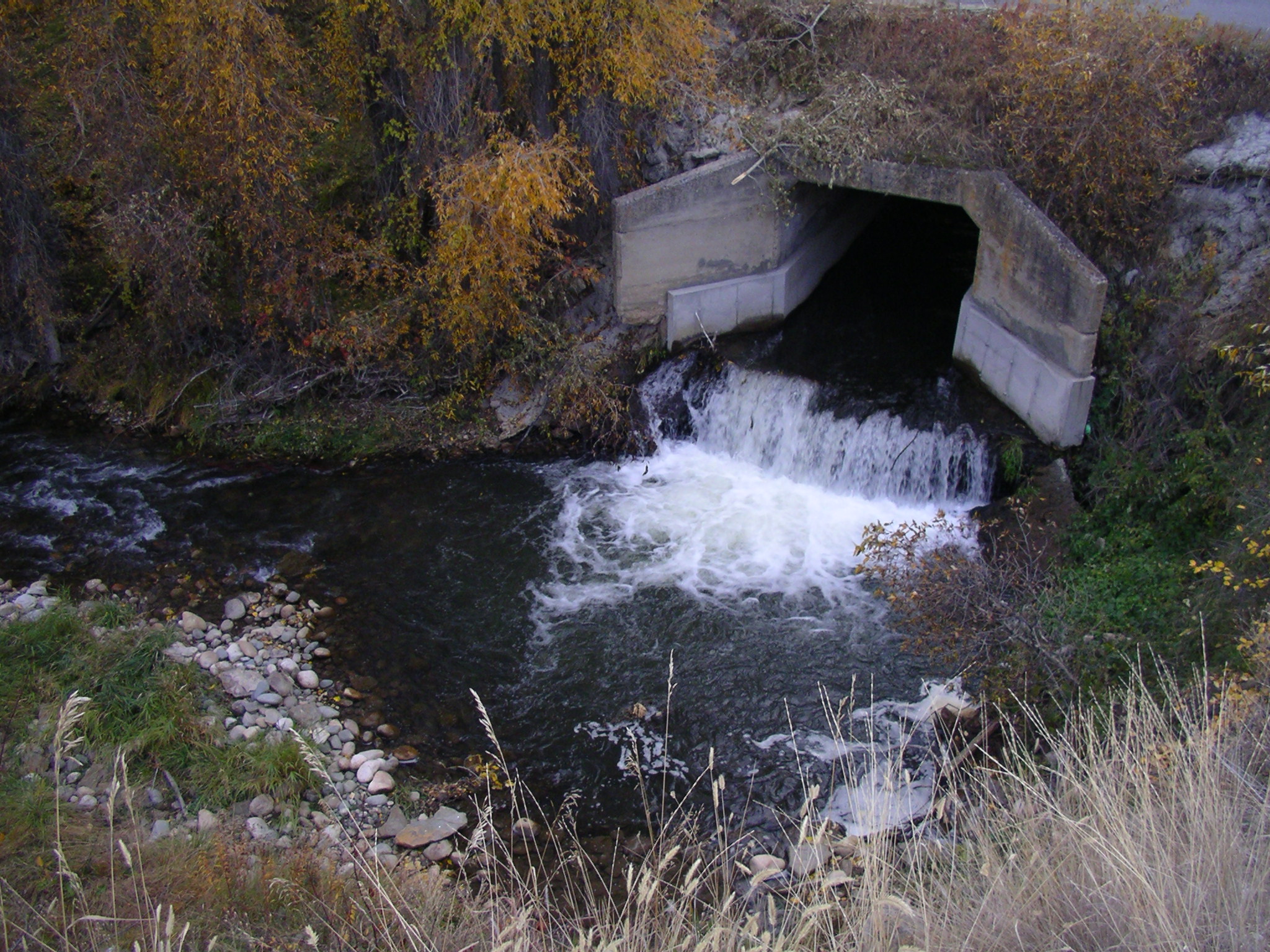
Fish barrier, Carbon County, Montana.

East Bench Sunrise
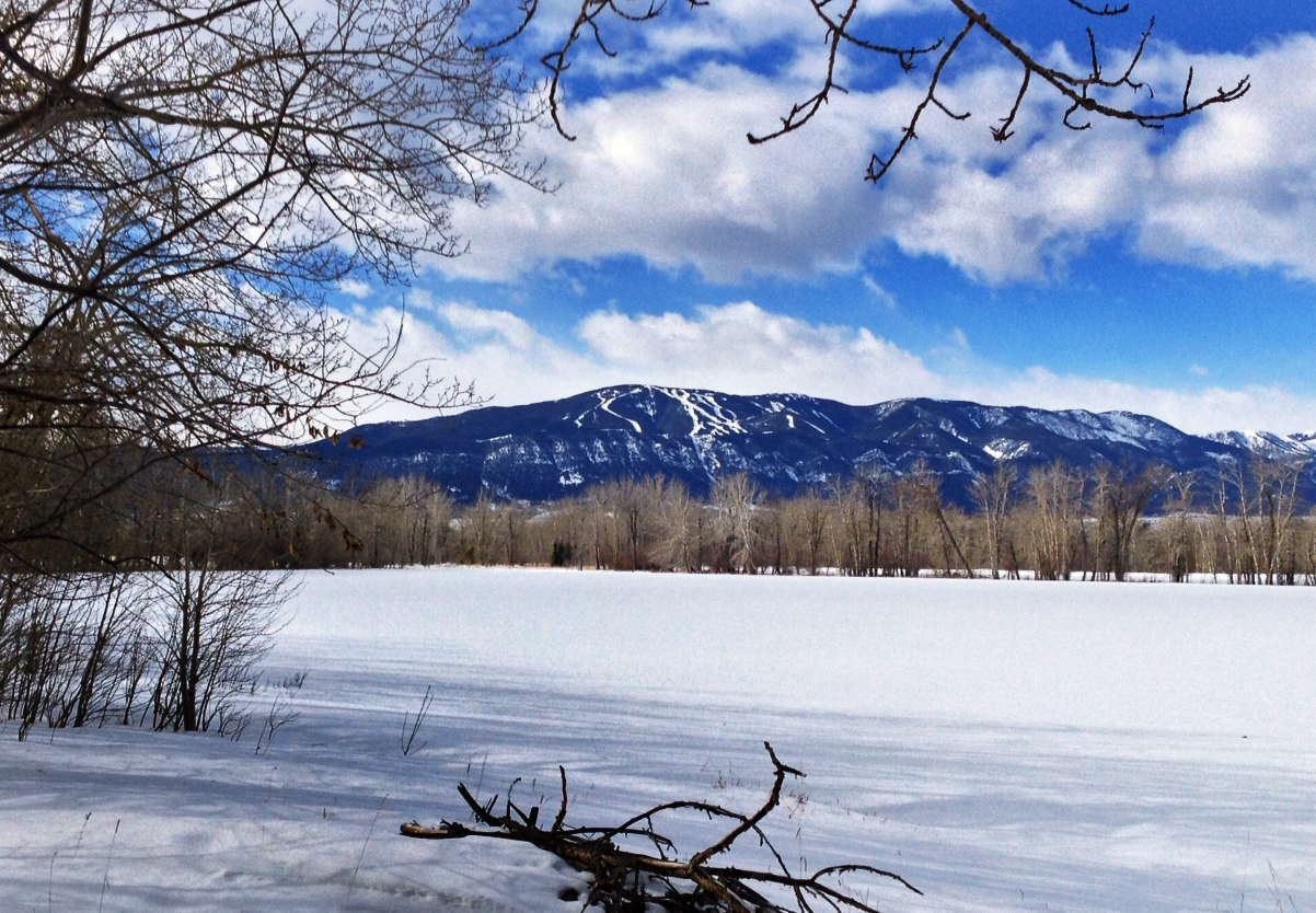
Mt. Maurice
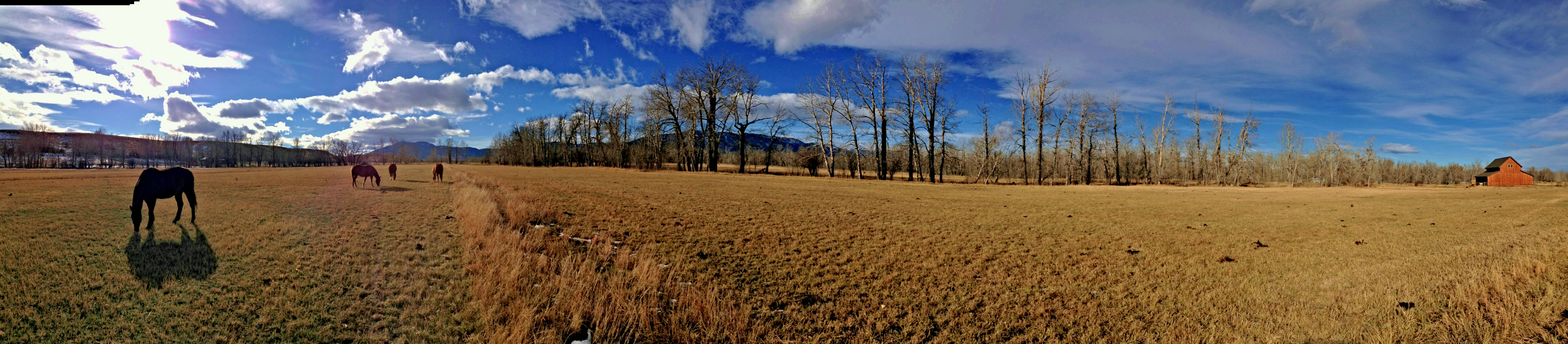
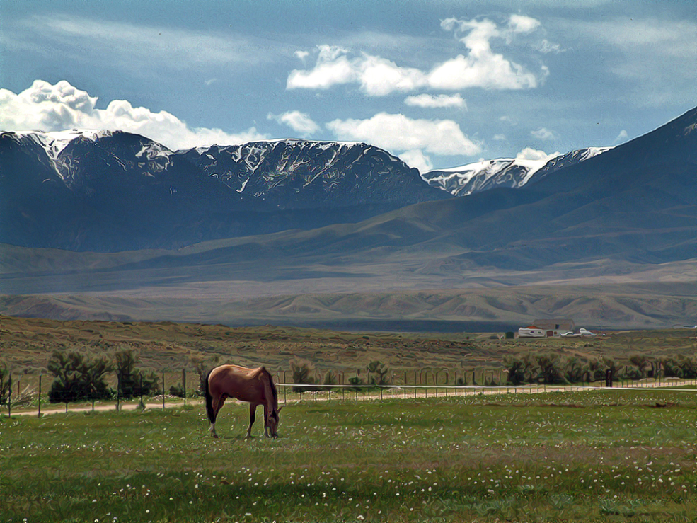
Grazing pano

2 Mile Bridge
Two O'Clock PM
Lonesome Spur pics - Steve
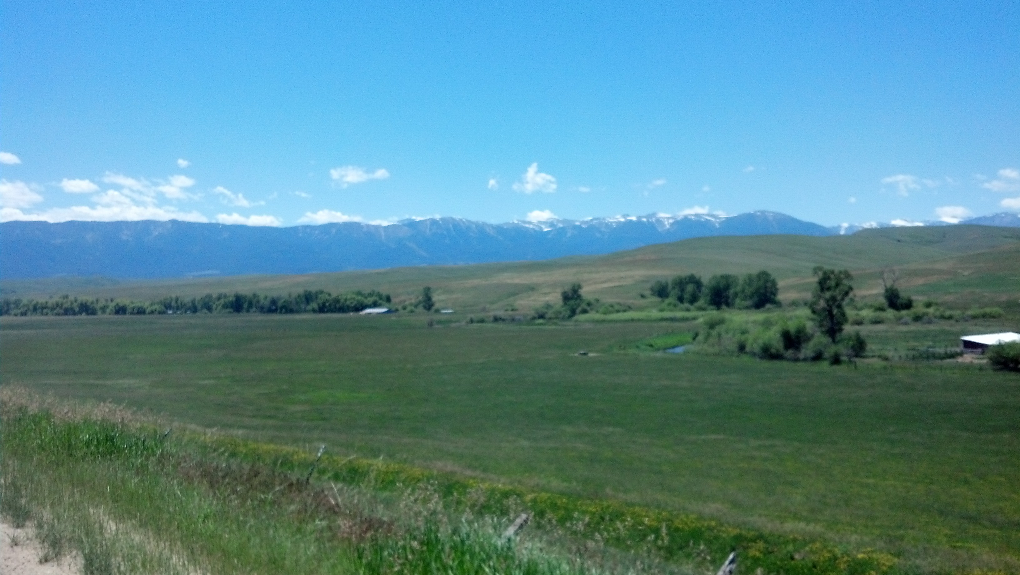
Southern Montana Landscape (Carbon County, Montana)
Grizzly Peak
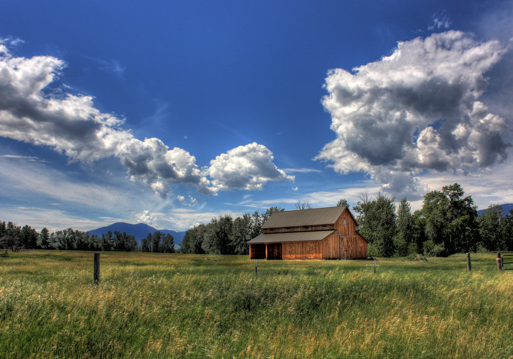
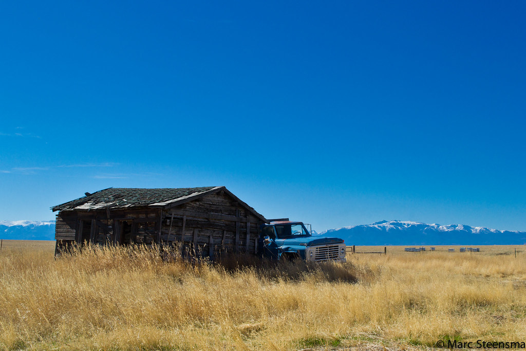
Barn - 2 Mile Bridge
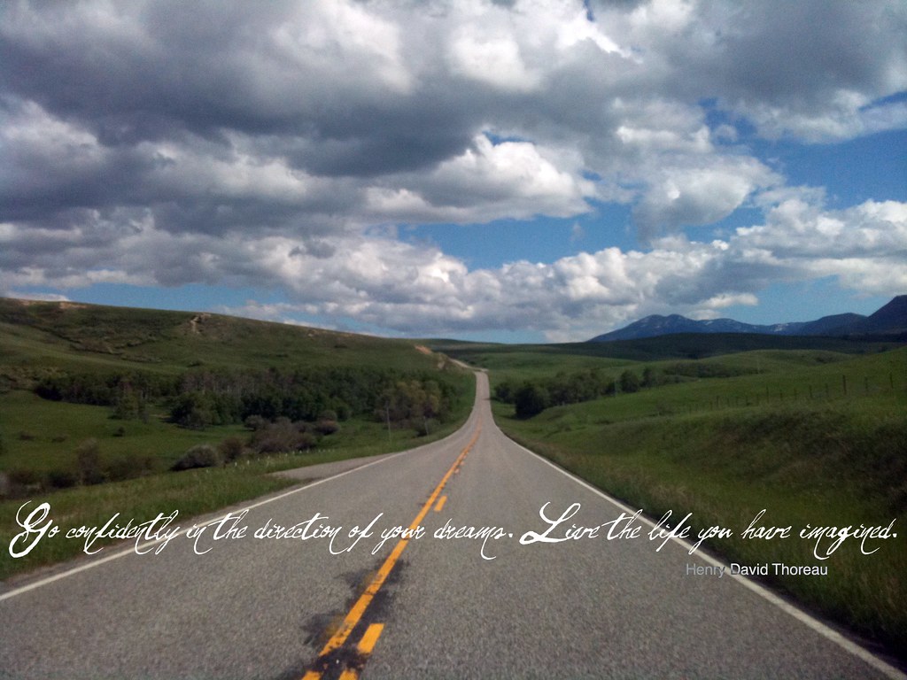
Go confidently
Topographic Map of Election Rd, Roberts, MT, USA
Find elevation by address:

Places near Election Rd, Roberts, MT, USA:
Roberts
40 Jc Ln
193 Upper Hawk Valley Rd
Barlow Creek Spur
84 Beartooth Ln
11 Mountainbrook Dr
Beartooth All-american Road
37 Red Lodge Creek Ranch Rd
274 Shane Ridge Rd
Red Lodge
MT-78, Roscoe, MT, USA
Absarokee
808 Grant Ave S
Carbon County
Beartooth Hideaway Inn & Cabins
Roscoe
Columbus, MT, USA
3 Lower Wapiti Valley Rd
7 1st St, Roberts, MT, USA
Fishtail
Recent Searches:
- Elevation of North 8th Street, Palatka, Putnam County, Florida, 32177, USA
- Elevation of 107, Big Apple Road, East Palatka, Putnam County, Florida, 32131, USA
- Elevation of Jiezi, Chongzhou City, Sichuan, China
- Elevation of Chongzhou City, Sichuan, China
- Elevation of Huaiyuan, Chongzhou City, Sichuan, China
- Elevation of Qingxia, Chengdu, Sichuan, China
- Elevation of Corso Fratelli Cairoli, 35, Macerata MC, Italy
- Elevation of Tallevast Rd, Sarasota, FL, USA
- Elevation of 4th St E, Sonoma, CA, USA
- Elevation of Black Hollow Rd, Pennsdale, PA, USA
- Elevation of Oakland Ave, Williamsport, PA, USA
- Elevation of Pedrógão Grande, Portugal
- Elevation of Klee Dr, Martinsburg, WV, USA
- Elevation of Via Roma, Pieranica CR, Italy
- Elevation of Tavkvetili Mountain, Georgia
- Elevation of Hartfords Bluff Cir, Mt Pleasant, SC, USA
- Elevation of SW Barberry Dr, Beaverton, OR, USA
- Elevation of Old Ahsahka Grade, Ahsahka, ID, USA
- Elevation of State Hwy F, Pacific, MO, USA
- Elevation of Chemin de Bel air, Chem. de Bel air, Mougins, France