Elevation of 37 Red Lodge Creek Ranch Rd, Red Lodge, MT, USA
Location: United States > Montana > Carbon County > Red Lodge >
Longitude: -109.44161
Latitude: 45.2725139
Elevation: 1618m / 5308feet
Barometric Pressure: 83KPa
Elevation Map:
Satellite Map:
Related Photos:

Big Sky Country... outside Red Lodge, MT!!!
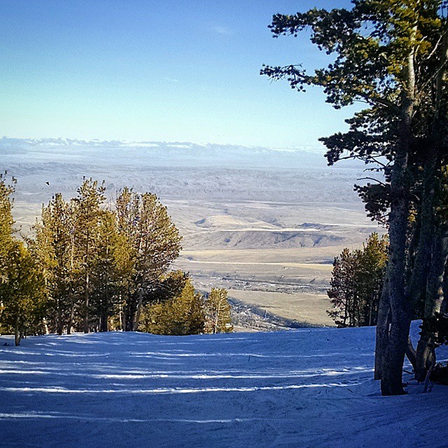
Great day full of great views
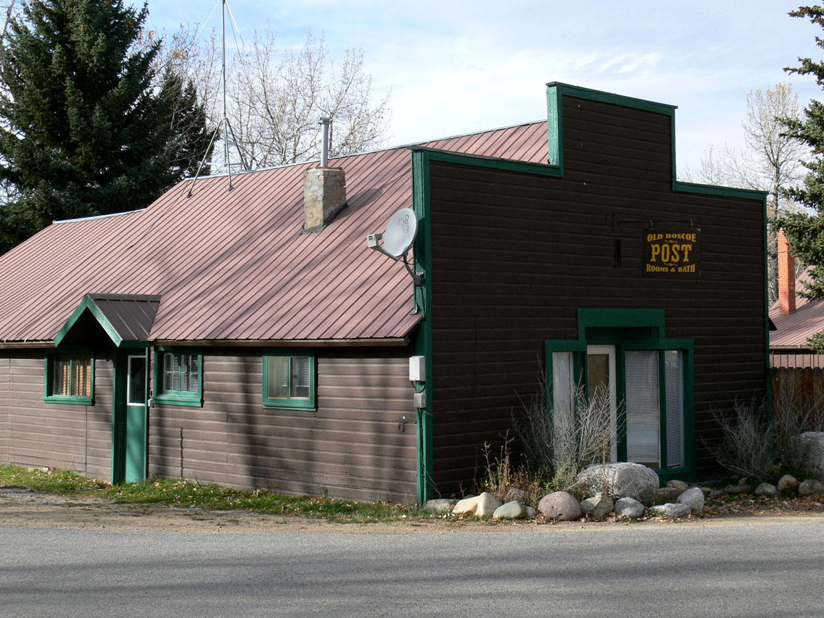
Roscoe, Montana 59071
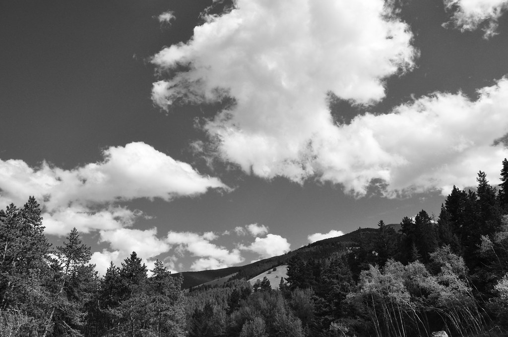
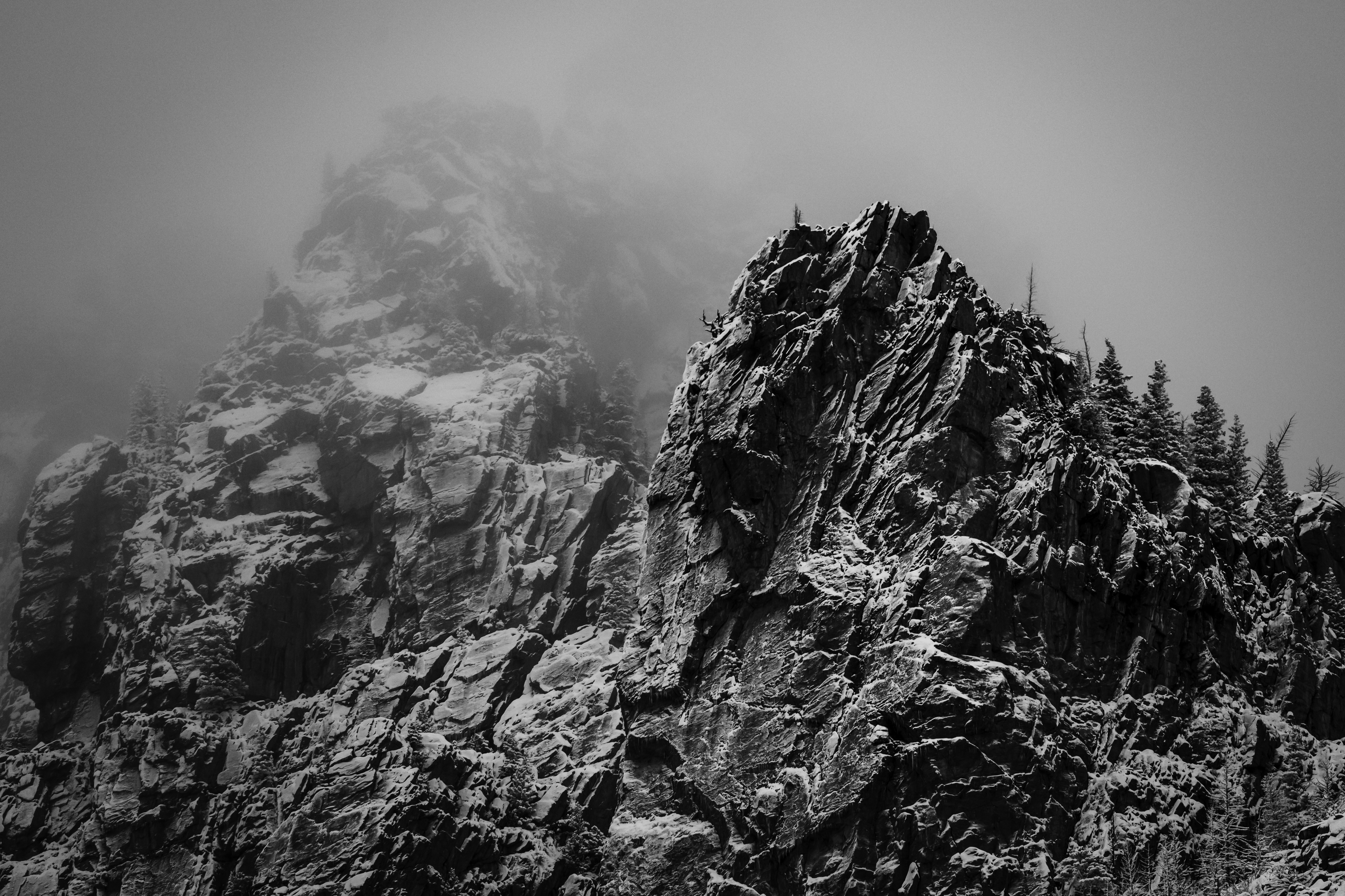
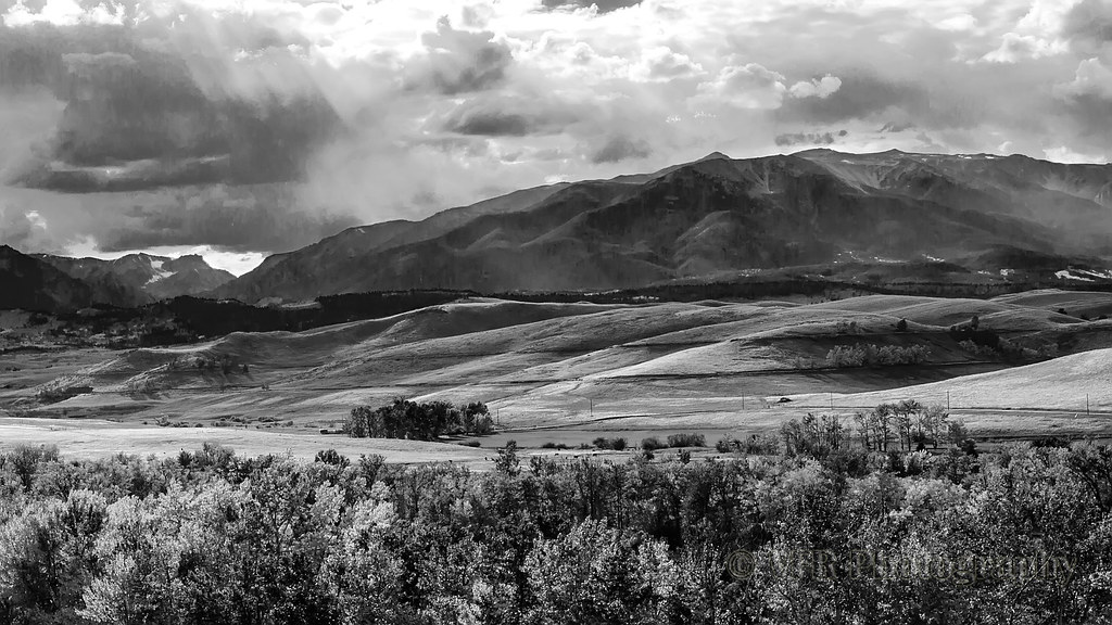
Spring in Montana... big sky in black and white... 2010
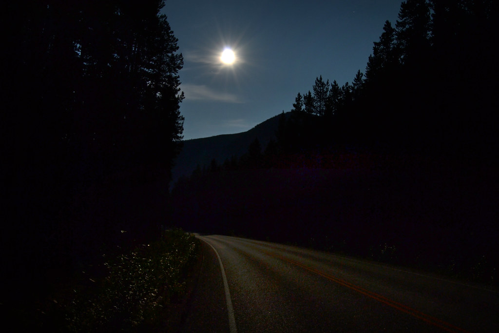
On Its Way
Silver Run Peaks Traverse, 2017_07_31 - 2017_08_02
Roscoe, Montana 59071
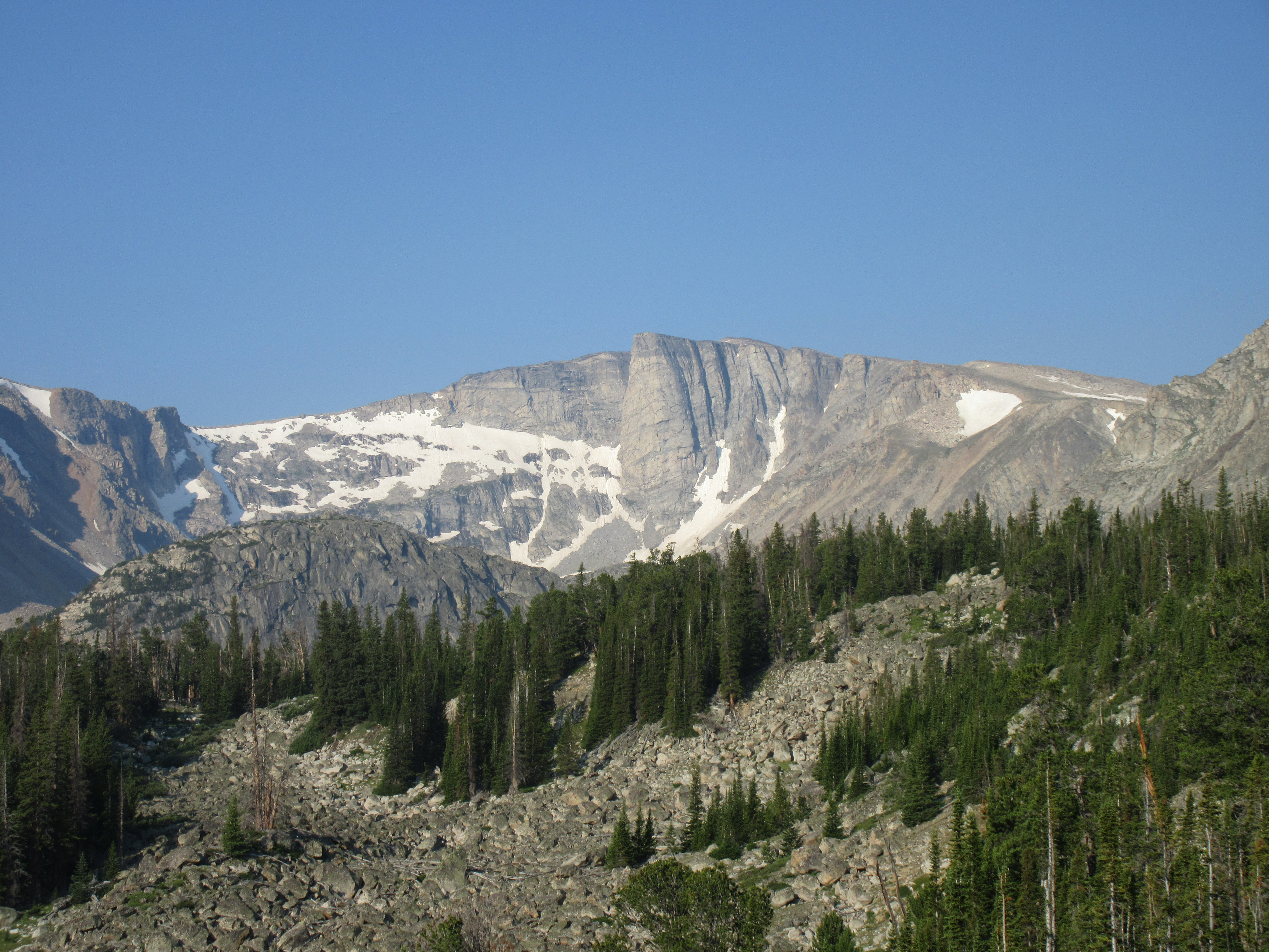
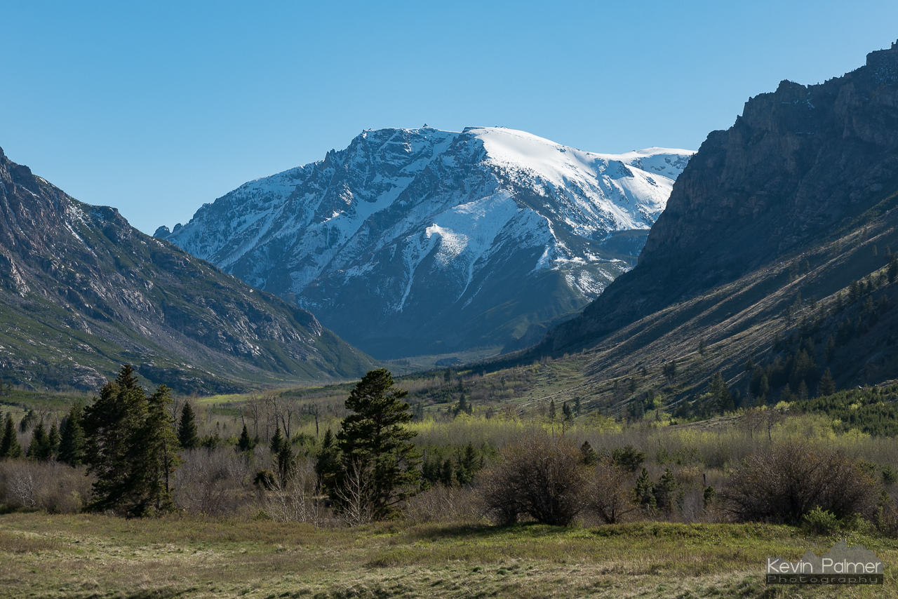
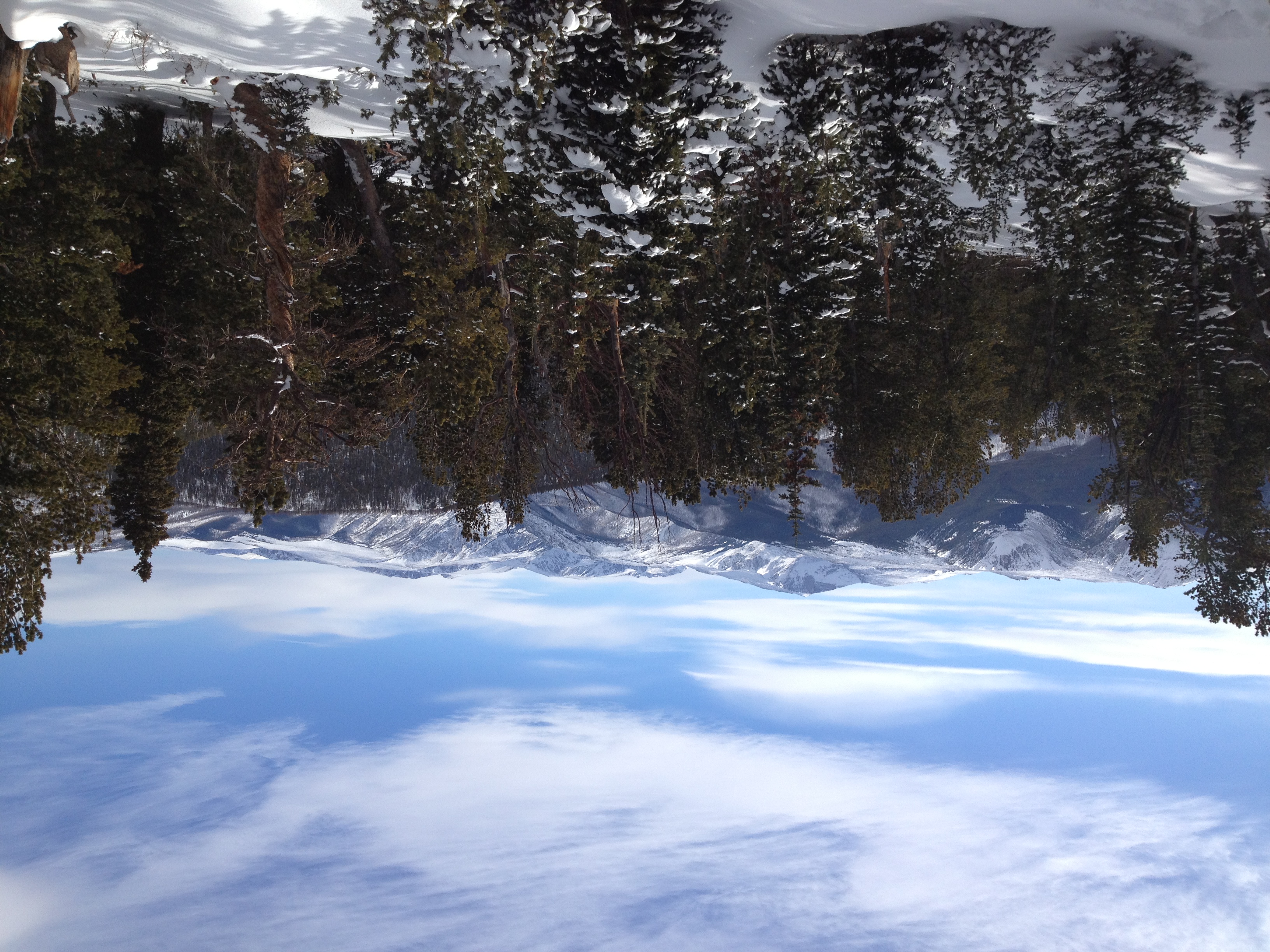
Beartooth Mountains
Silver Run Peaks Traverse, 2017_07_31 - 2017_08_02
Silver Run Peaks Traverse, 2017_07_31 - 2017_08_02
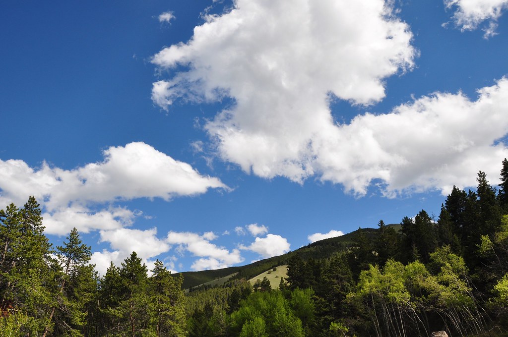
Foothills of the Rockies under a BIG SKY... Montana, 2010

East Rosebud Area
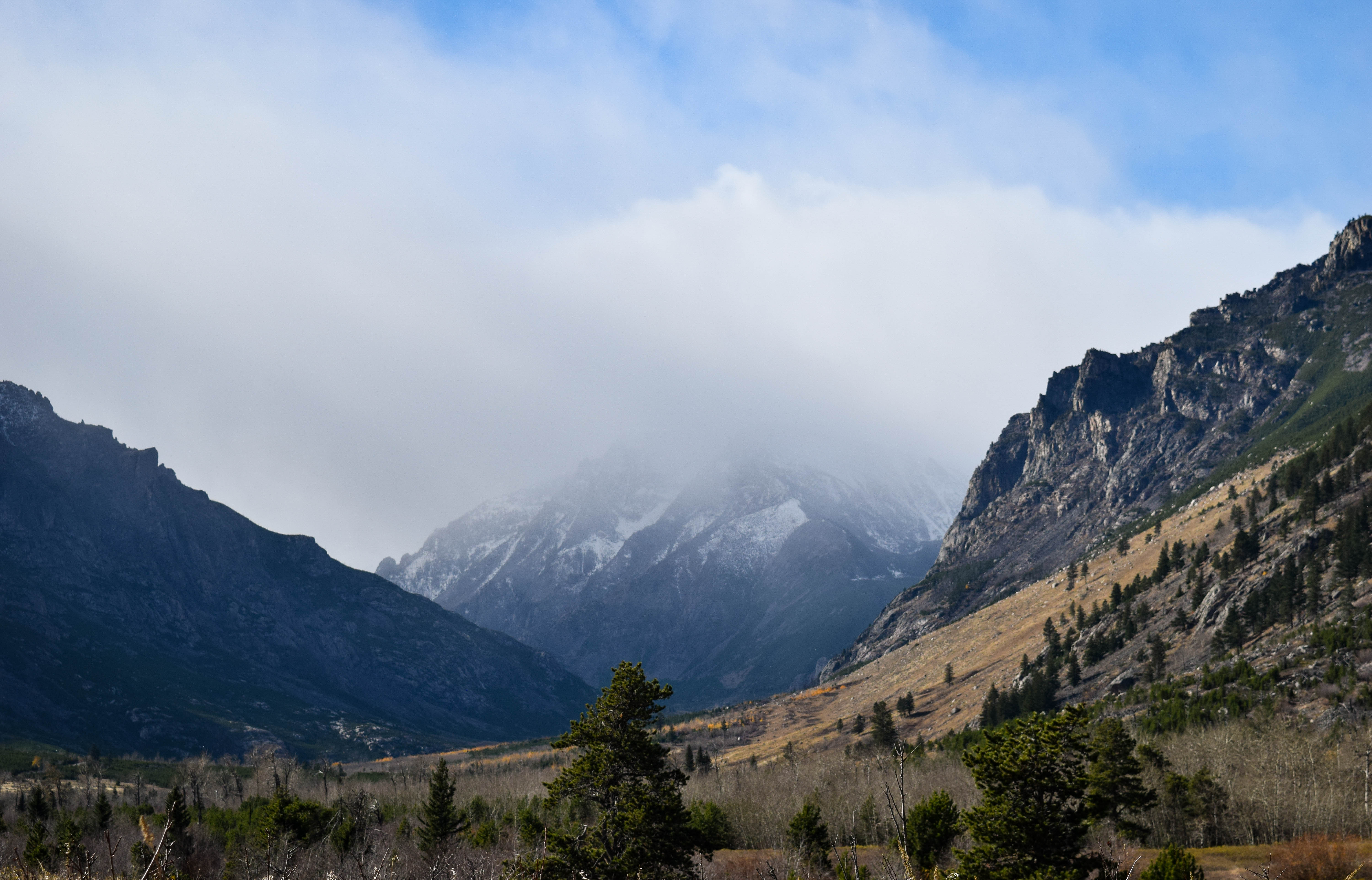
Mountains In Layers

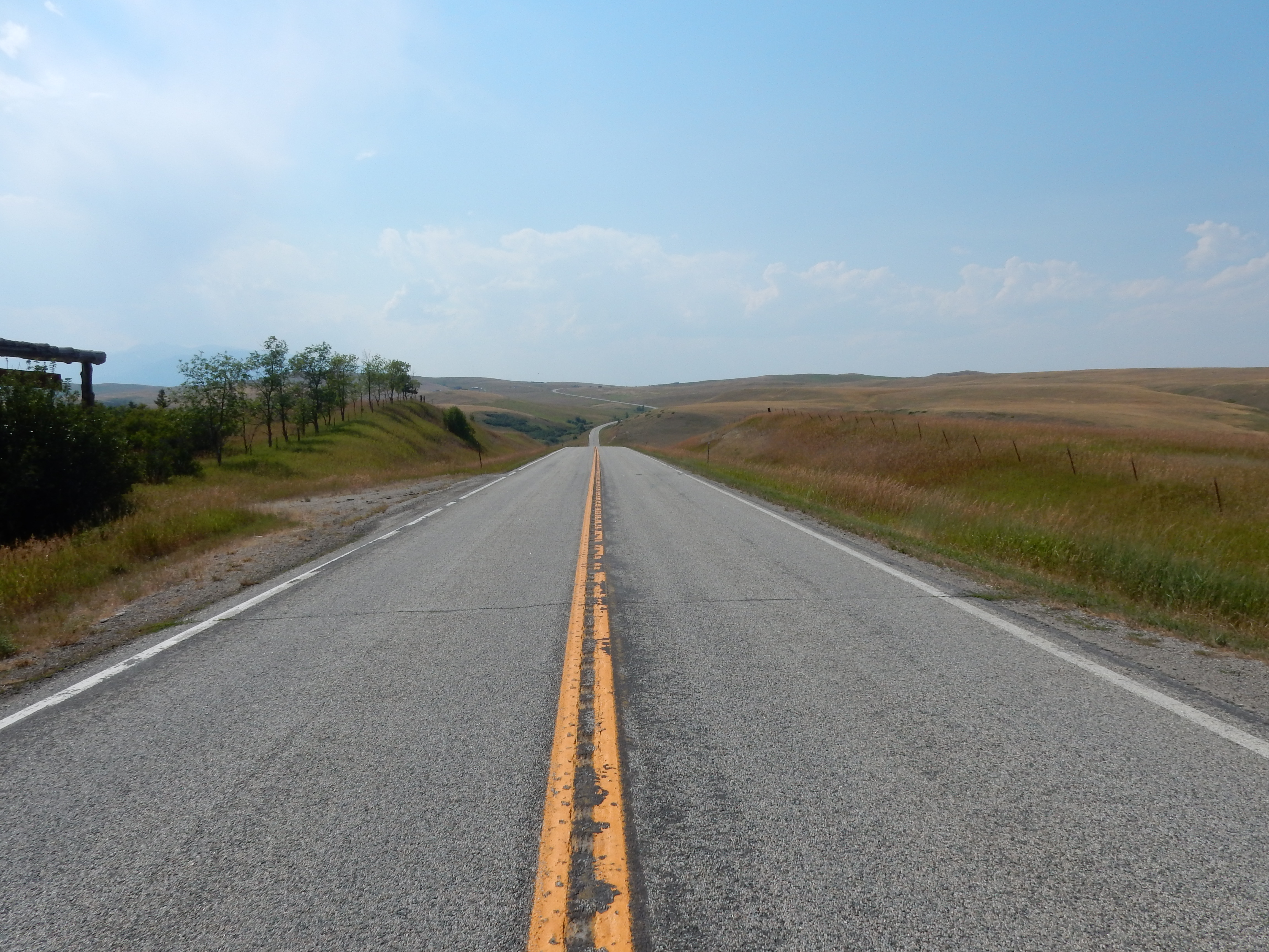
Cutting Through the Valley

Somewhere near Luther!
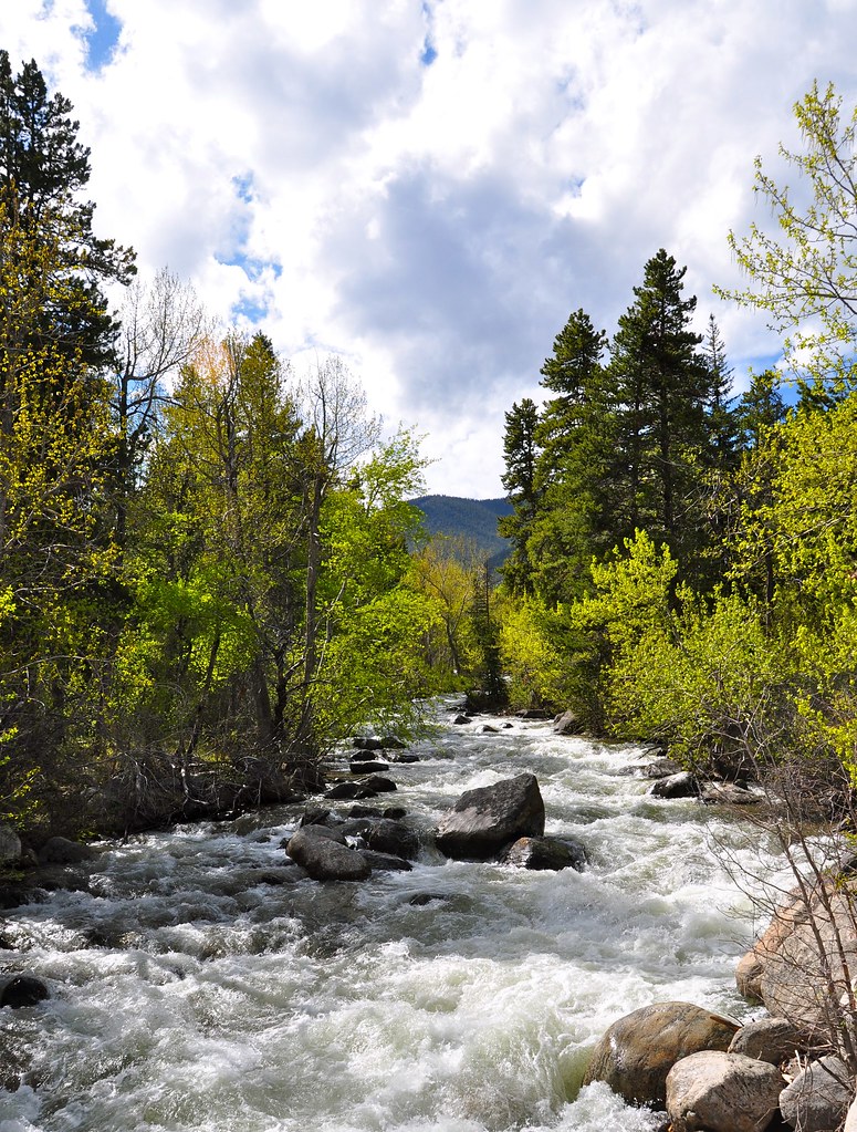
Rock Creek high water... upstream from bridge at Silver Run... 2010
At the foot of the Beartooth
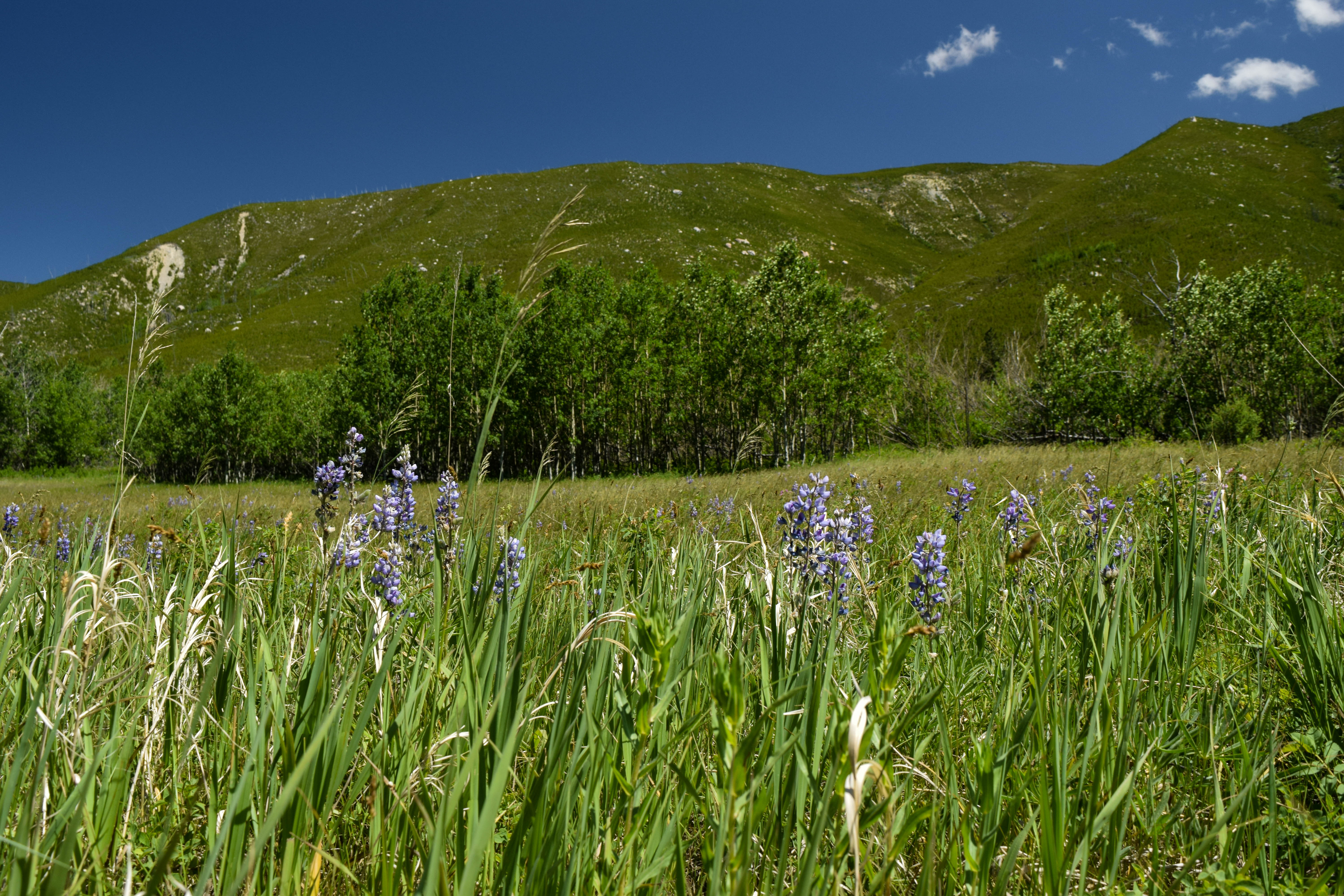
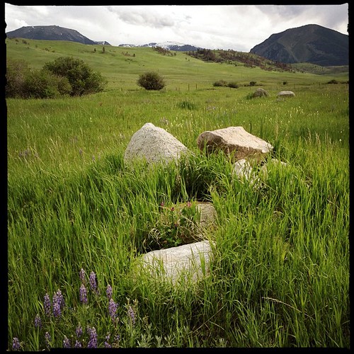
Quaking Aspen and Lupine
Montana Ranch
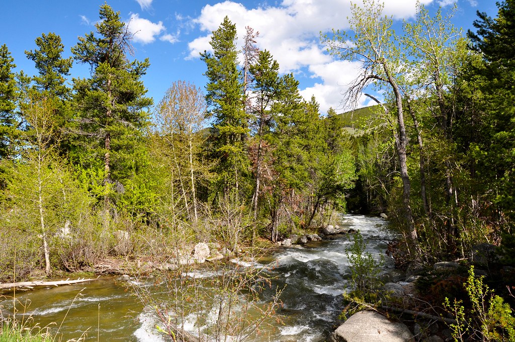
For John on his birthday... a great trout fishing stream in Montana, USA!
Spring in the Valley
Lazy E-L Ranch, Red Lodge, MT.
Bromus inermis (Carbon County, Montana)

Mountain high, valley low
Up The Valley
Beartooth Mountains
Topographic Map of 37 Red Lodge Creek Ranch Rd, Red Lodge, MT, USA
Find elevation by address:

Places near 37 Red Lodge Creek Ranch Rd, Red Lodge, MT, USA:
Barlow Creek Spur
Roscoe
15 Getaway Trail
MT-78, Roscoe, MT, USA
160 Getaway Trail
597 E Rosebud Rd
Basin Campground
42 Silver Run Rd
3 Lower Wapiti Valley Rd
Fishtail
207 Election Rd
11 Mountainbrook Dr
50 Mystic View Rd
Richel Lodge
Waples Drive
Beartooth All-american Road
25 Jones Ln
808 Grant Ave S
Red Lodge
Beartooth Hideaway Inn & Cabins
Recent Searches:
- Elevation of Corso Fratelli Cairoli, 35, Macerata MC, Italy
- Elevation of Tallevast Rd, Sarasota, FL, USA
- Elevation of 4th St E, Sonoma, CA, USA
- Elevation of Black Hollow Rd, Pennsdale, PA, USA
- Elevation of Oakland Ave, Williamsport, PA, USA
- Elevation of Pedrógão Grande, Portugal
- Elevation of Klee Dr, Martinsburg, WV, USA
- Elevation of Via Roma, Pieranica CR, Italy
- Elevation of Tavkvetili Mountain, Georgia
- Elevation of Hartfords Bluff Cir, Mt Pleasant, SC, USA