Elevation of Roberts, MT, USA
Location: United States > Montana > Carbon County >
Longitude: -109.16765
Latitude: 45.3596673
Elevation: 1393m / 4570feet
Barometric Pressure: 86KPa
Elevation Map:
Satellite Map:
Related Photos:
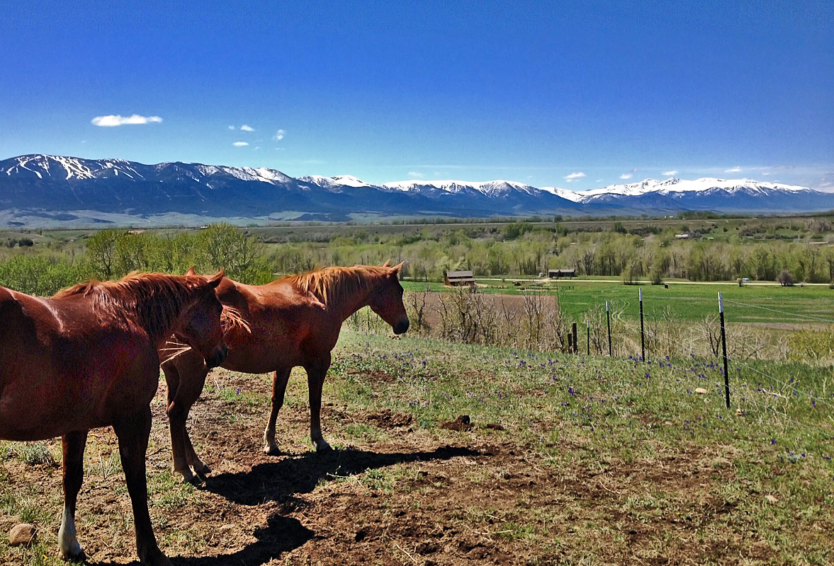
Enjoying the View
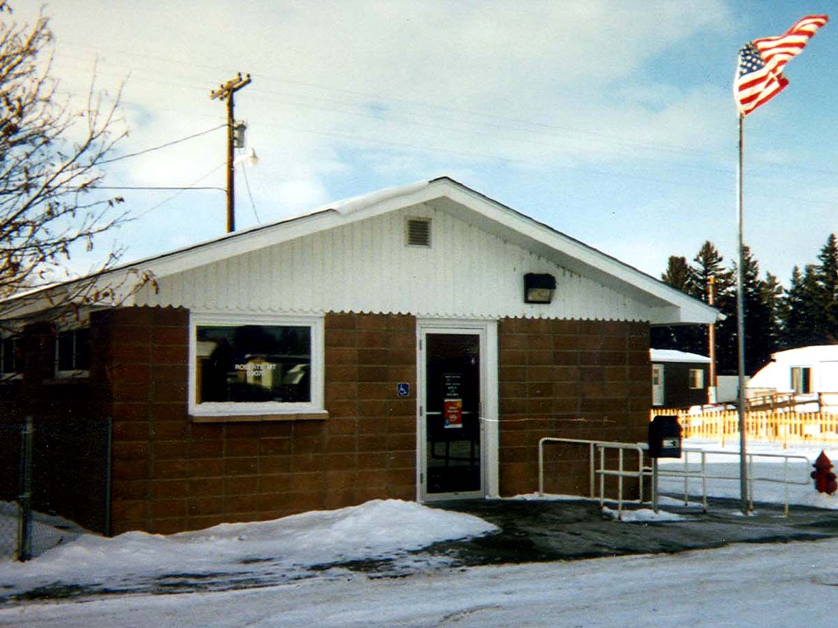
Roberts, Montana 59070
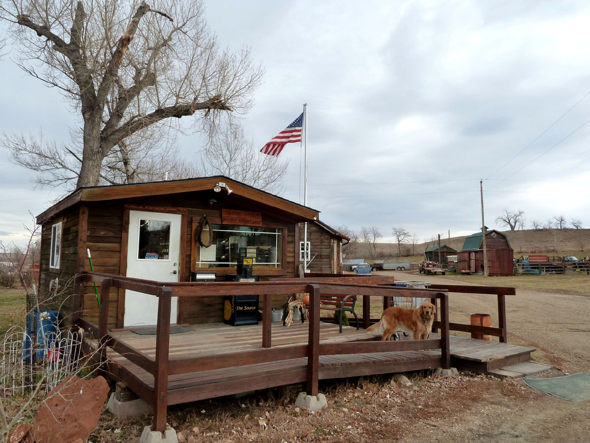
Boyd, Montana 59013
Boyd, Montana 59013
Vacation Home
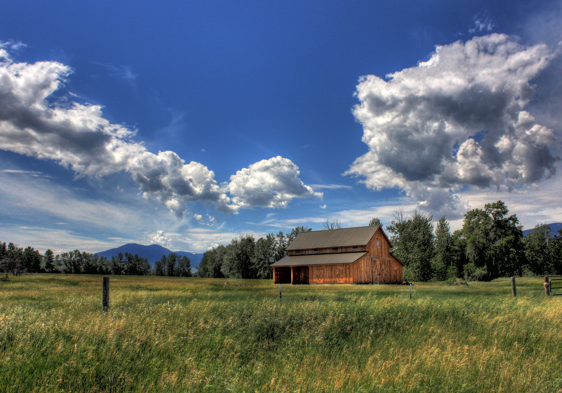
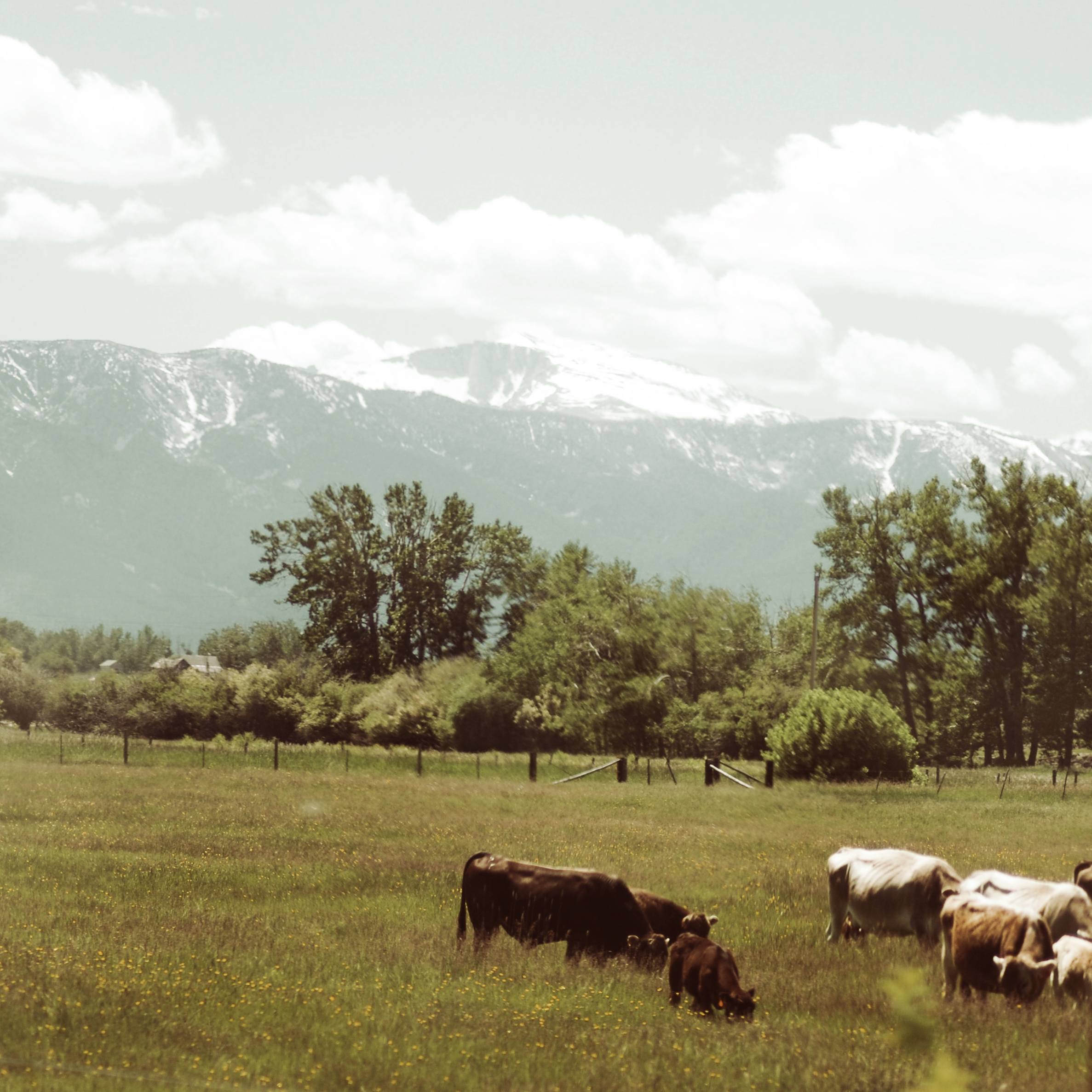
Cooms Ranch
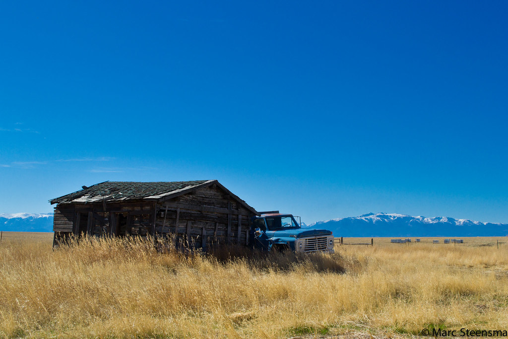
Barn - 2 Mile Bridge
Chief Joseph Hwy
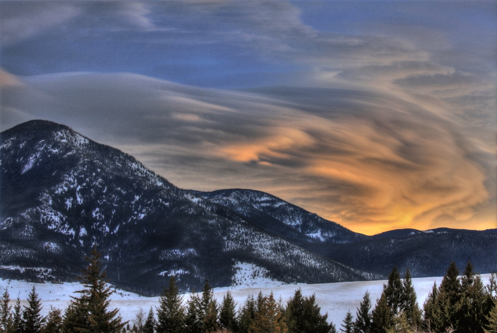
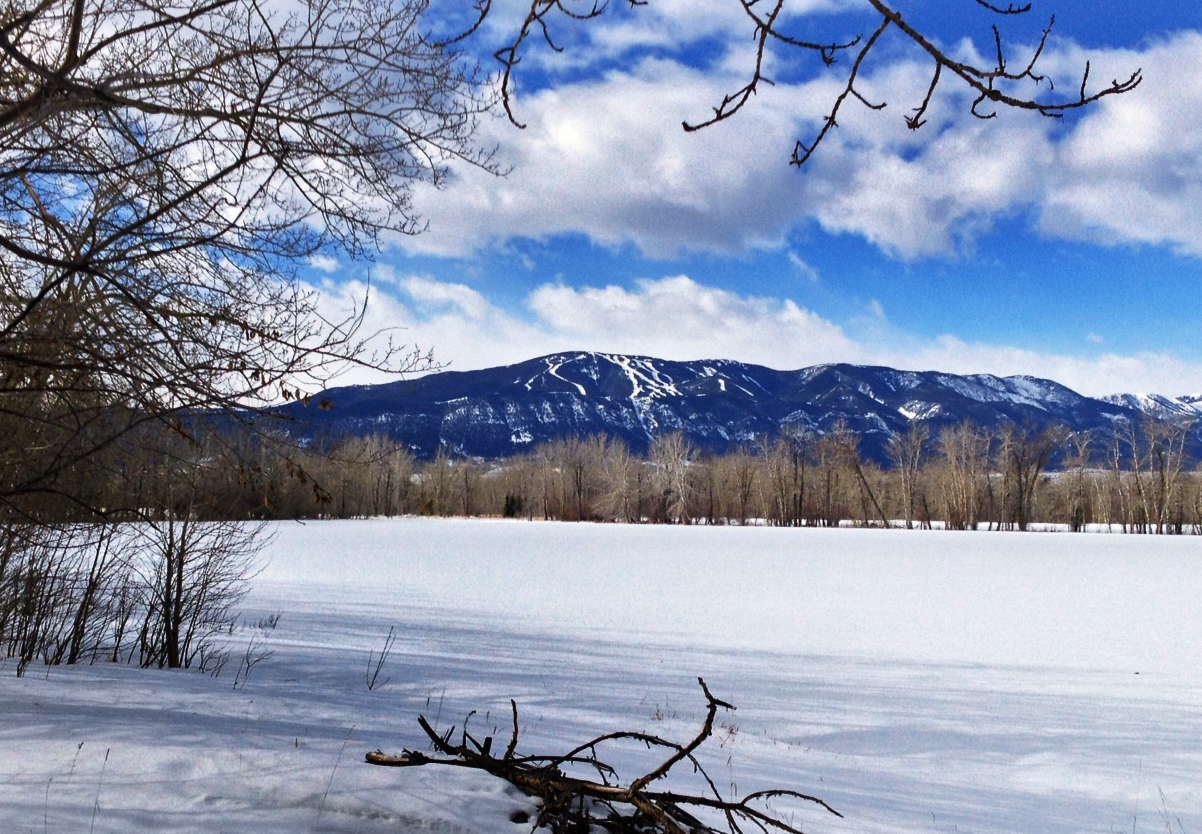
Mt. Maurice
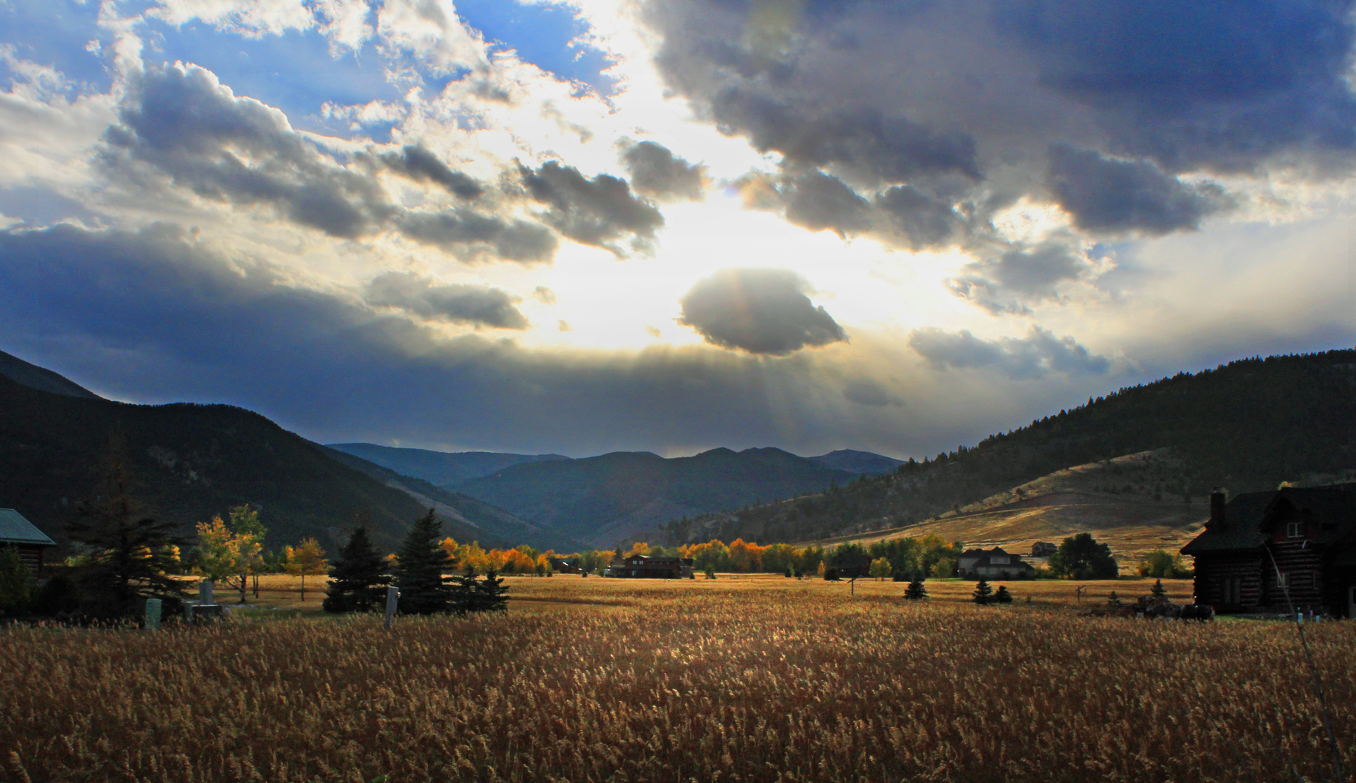
Autumn Storm
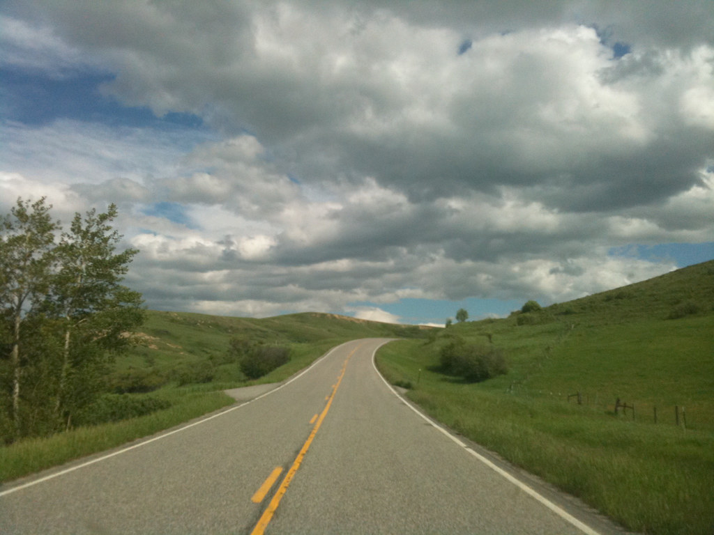
Montana-43
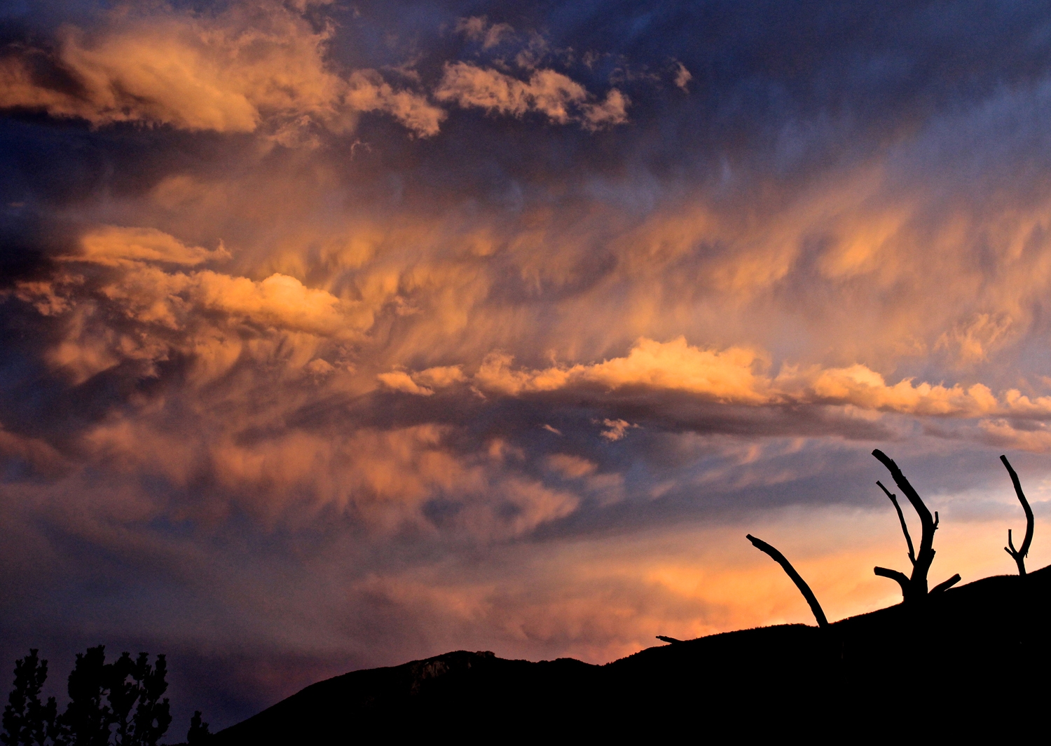
Palisades Sunset

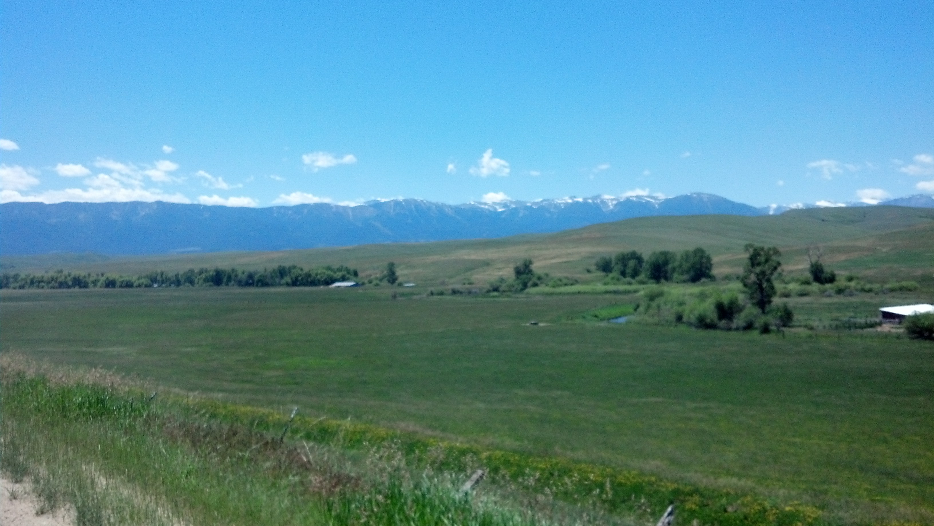
East Bench Sunrise
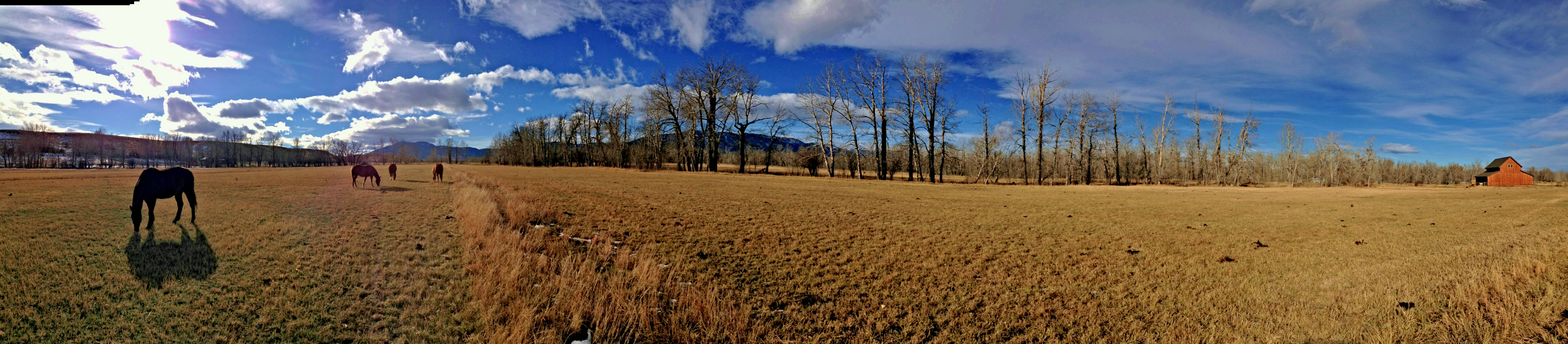
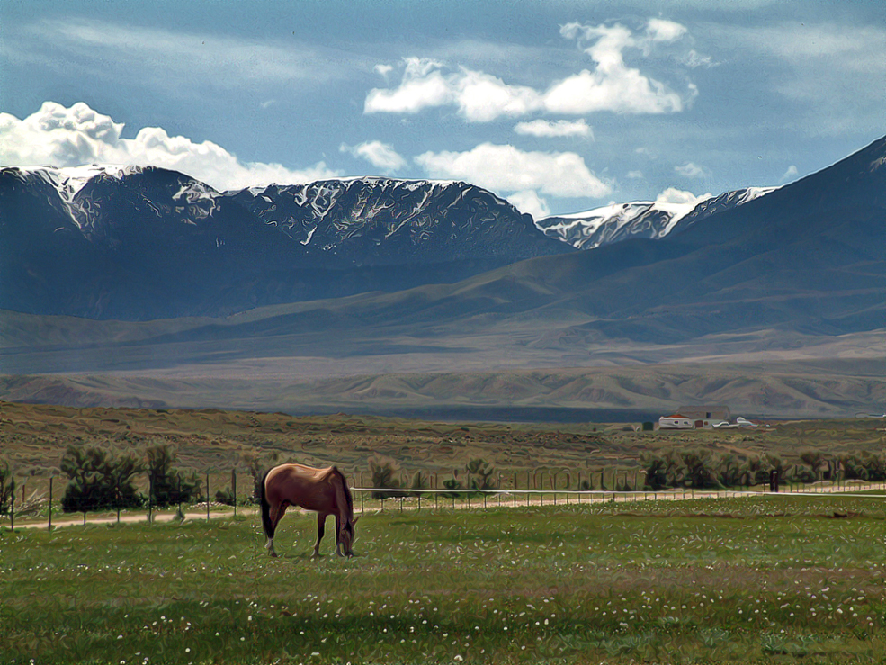
Grazing pano

2 Mile Bridge
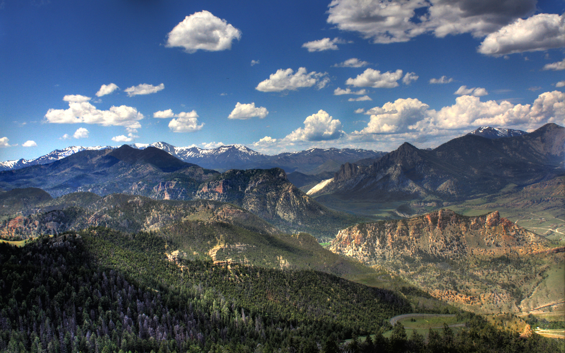
Grizzly Peak
Two O'Clock PM
Lonesome Spur pics - Steve
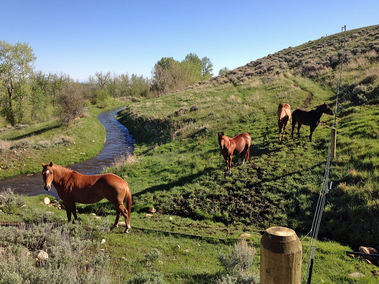
Bailey Ditch - East Bench - New Fenceline
Topographic Map of Roberts, MT, USA
Find elevation by address:

Places near Roberts, MT, USA:
40 Jc Ln
Carbon County
207 Election Rd
7 1st St, Roberts, MT, USA
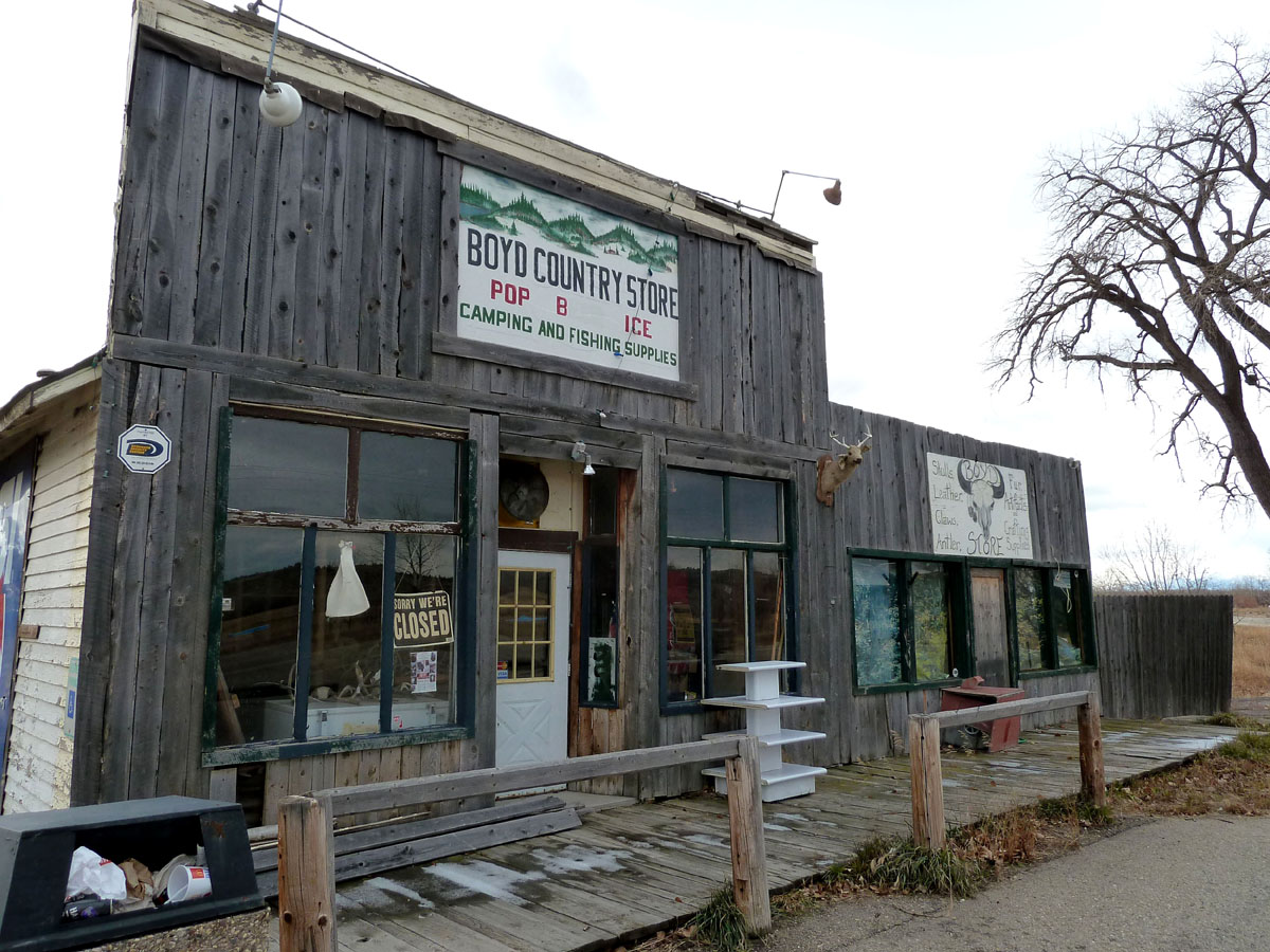
Boyd
77 Eagle Point Ln
Beartooth All-american Road
11 Mountainbrook Dr
Red Lodge
W Main St, Bearcreek, MT, USA
Bearcreek
808 Grant Ave S
Beartooth Hideaway Inn & Cabins
84 Beartooth Ln
274 Shane Ridge Rd
Meeteetse Meadows Road
3 Lower Wapiti Valley Rd
Waples Drive
25 Jones Ln
Meeteetse Meadow Road
Recent Searches:
- Elevation of Corso Fratelli Cairoli, 35, Macerata MC, Italy
- Elevation of Tallevast Rd, Sarasota, FL, USA
- Elevation of 4th St E, Sonoma, CA, USA
- Elevation of Black Hollow Rd, Pennsdale, PA, USA
- Elevation of Oakland Ave, Williamsport, PA, USA
- Elevation of Pedrógão Grande, Portugal
- Elevation of Klee Dr, Martinsburg, WV, USA
- Elevation of Via Roma, Pieranica CR, Italy
- Elevation of Tavkvetili Mountain, Georgia
- Elevation of Hartfords Bluff Cir, Mt Pleasant, SC, USA