Elevation of Reed Point, MT, USA
Location: United States > Montana > Stillwater County >
Longitude: -109.54211
Latitude: 45.7093835
Elevation: 1142m / 3747feet
Barometric Pressure: 88KPa
Elevation Map:
Satellite Map:
Related Photos:

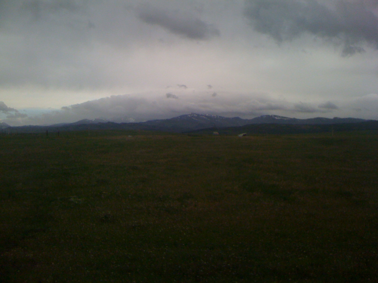
Foggy Morn
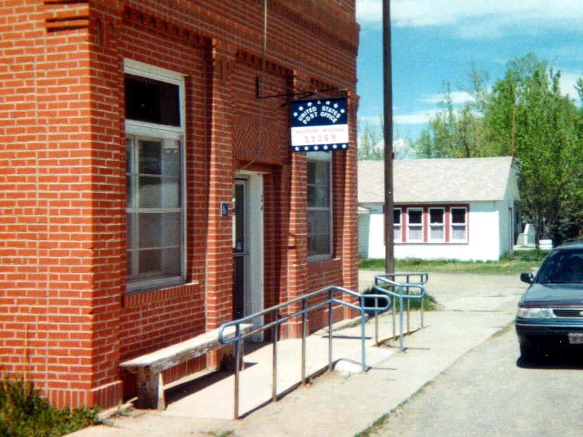
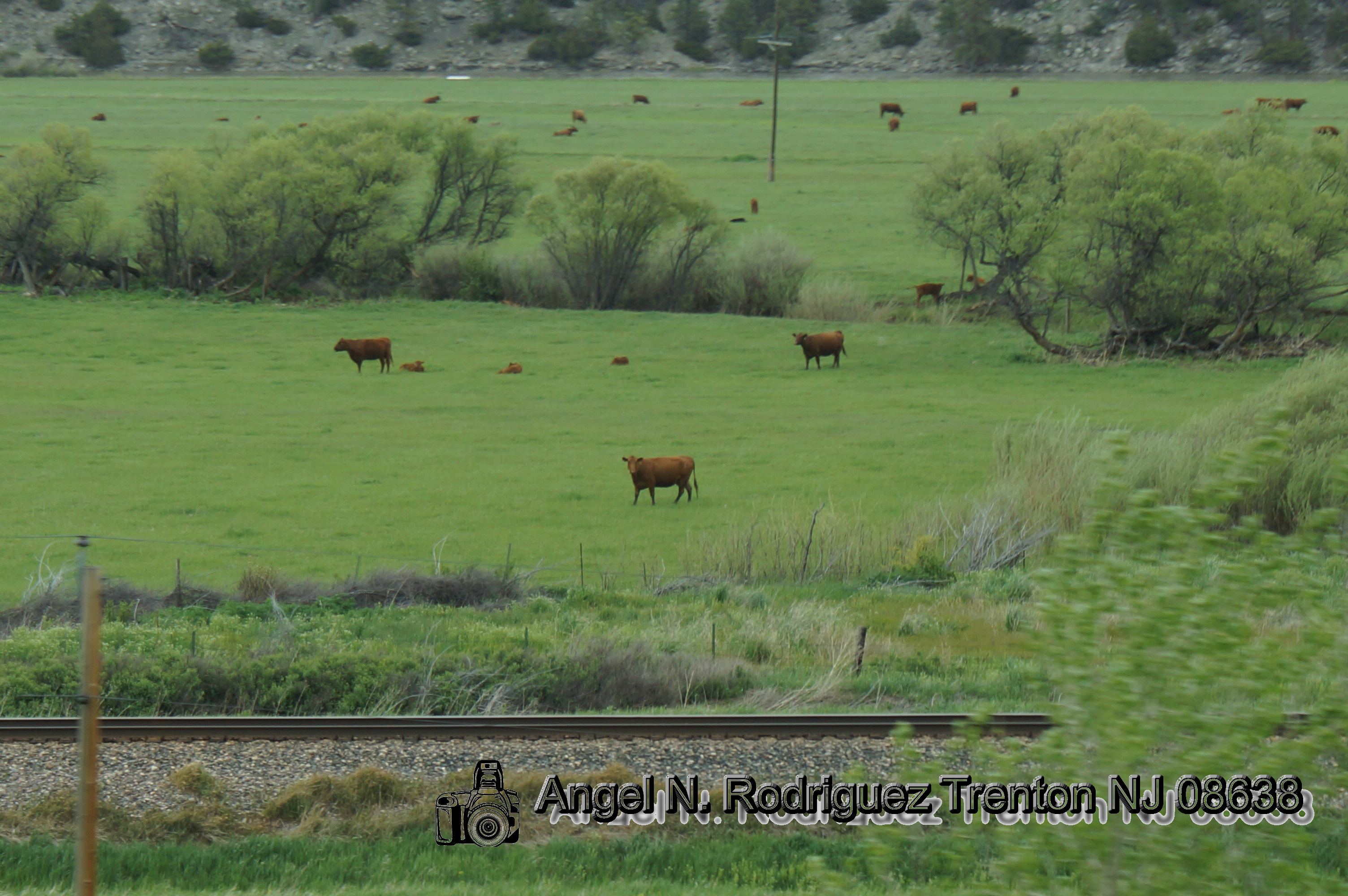
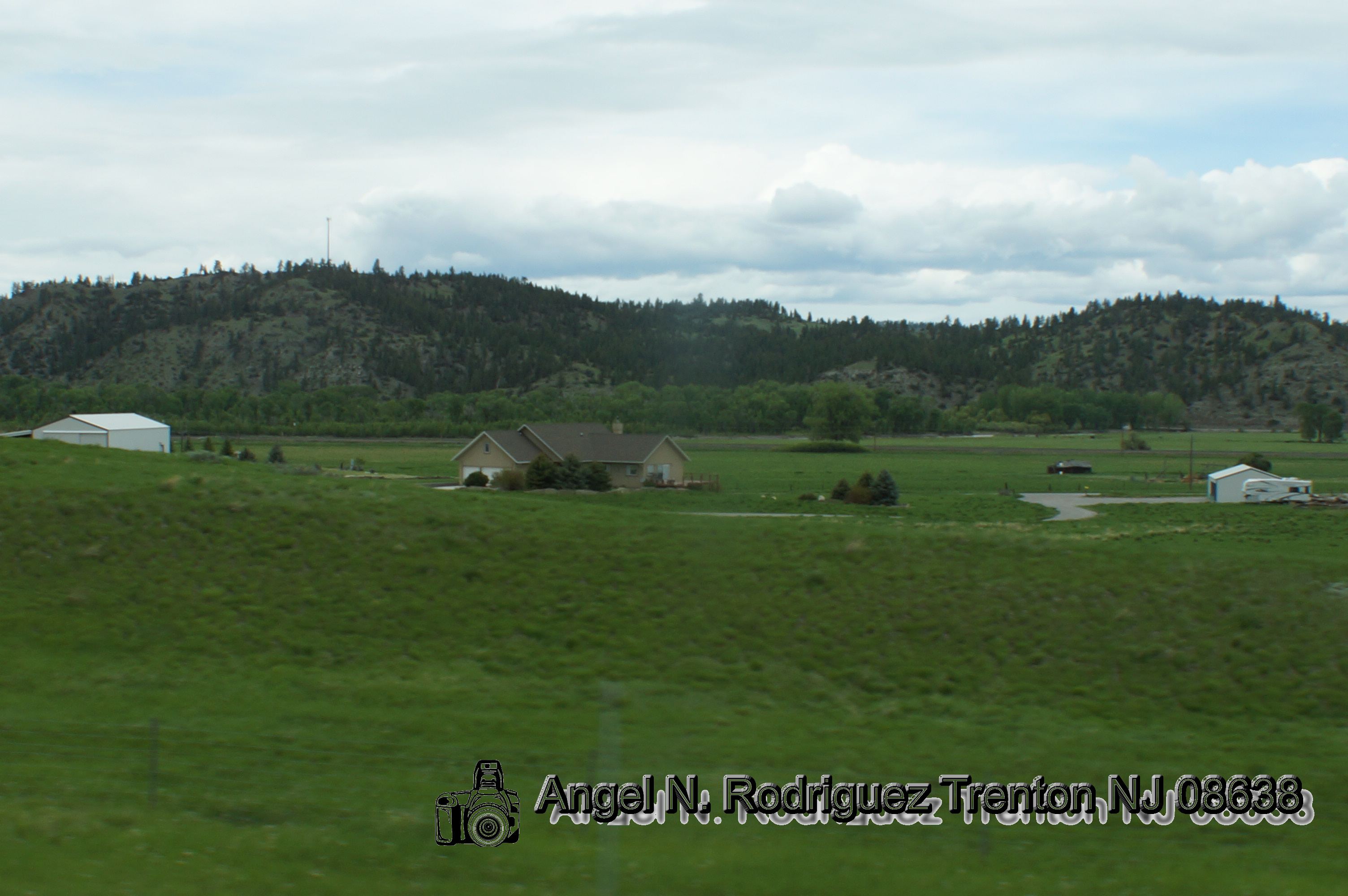
Reed Point, Montana 59069
Reed Point, Montana 59069

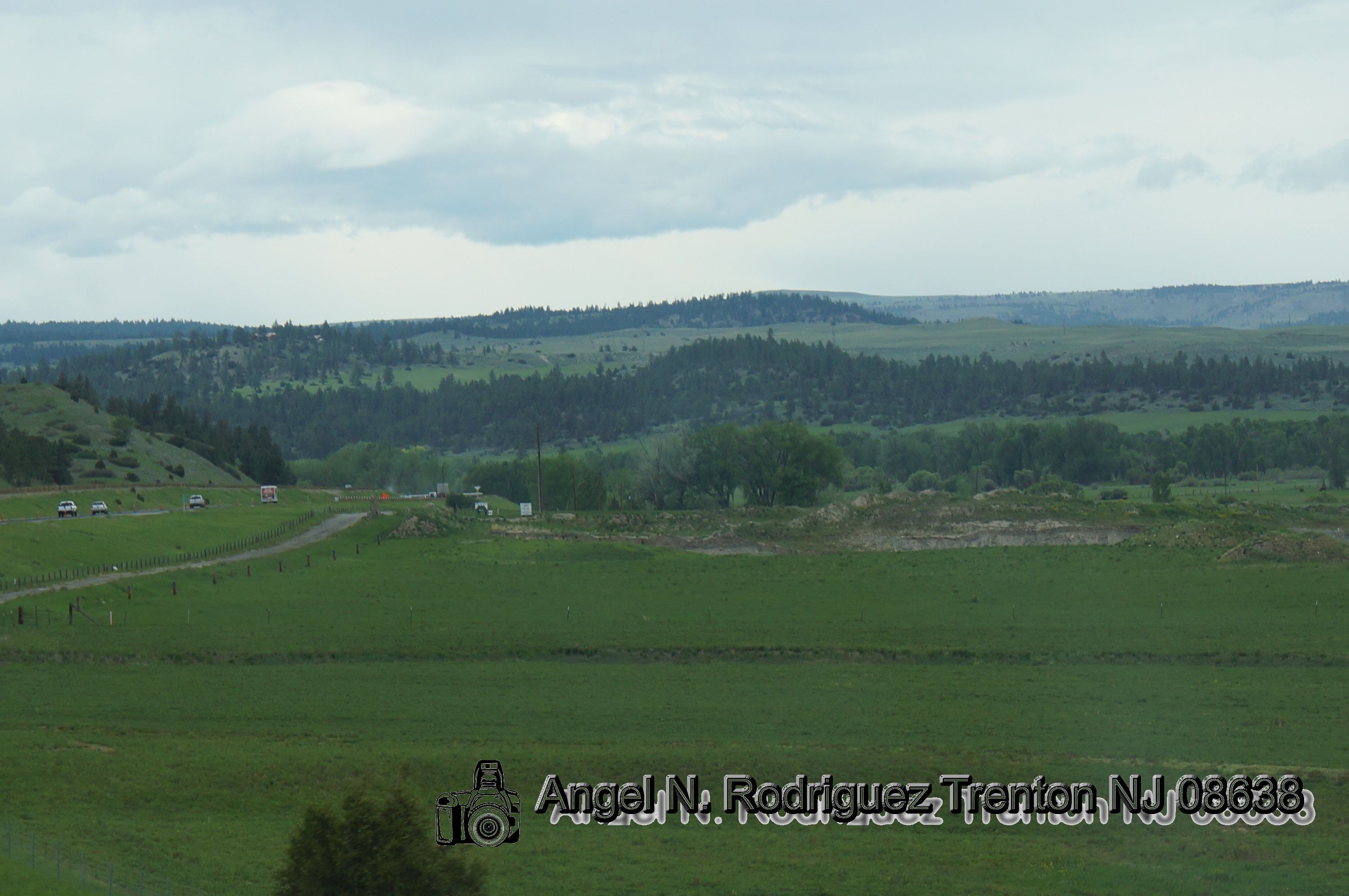
Approaching Quebec
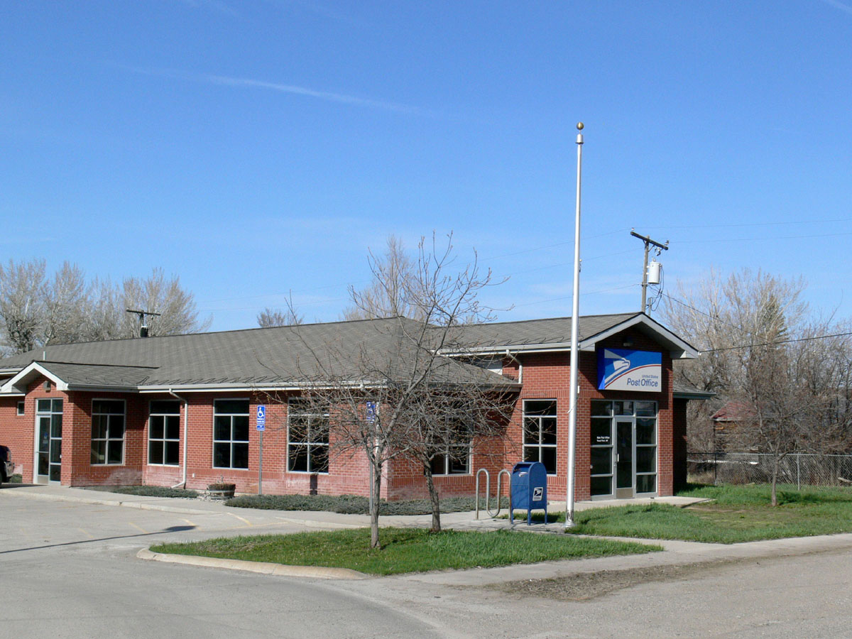
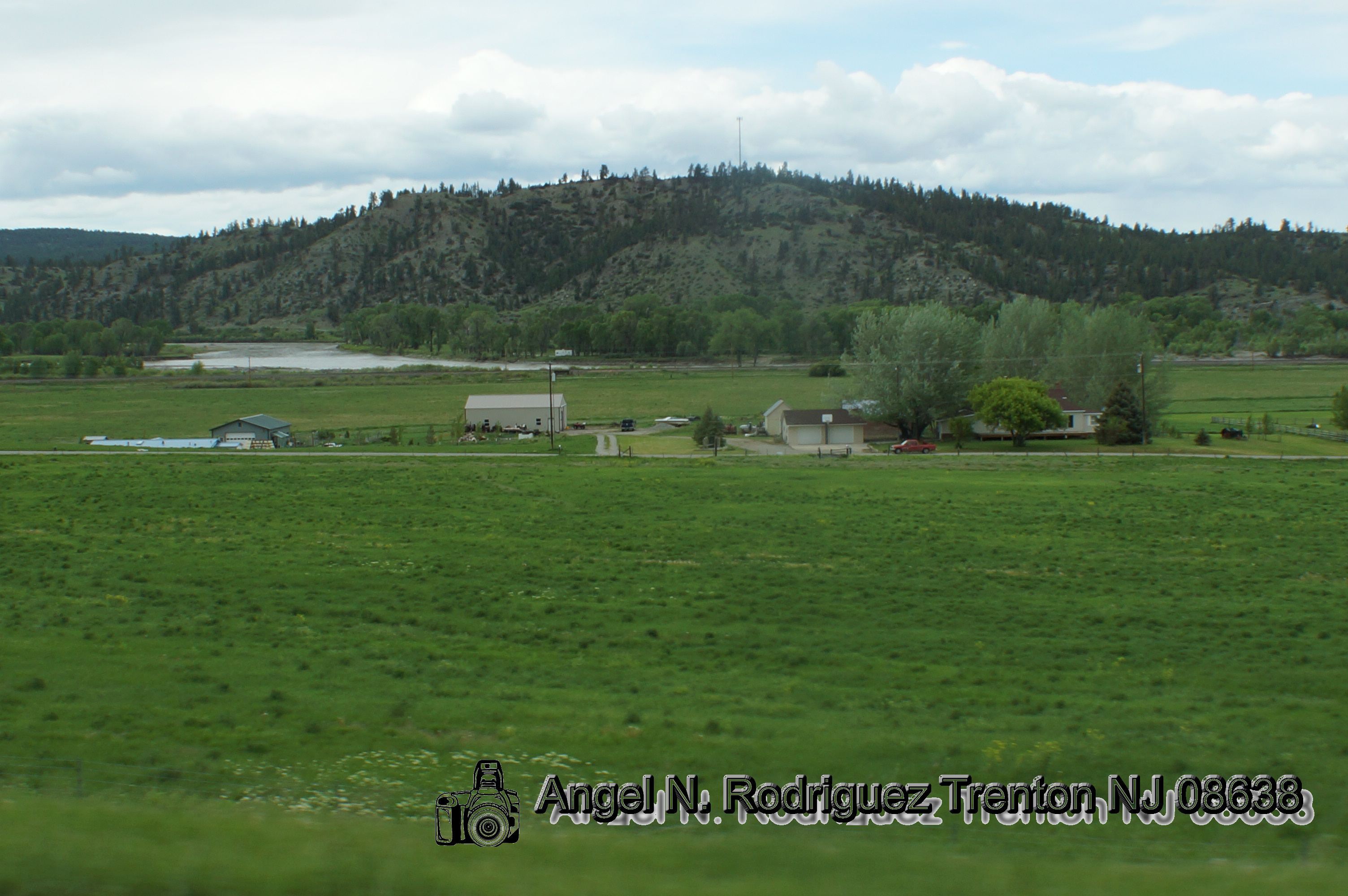
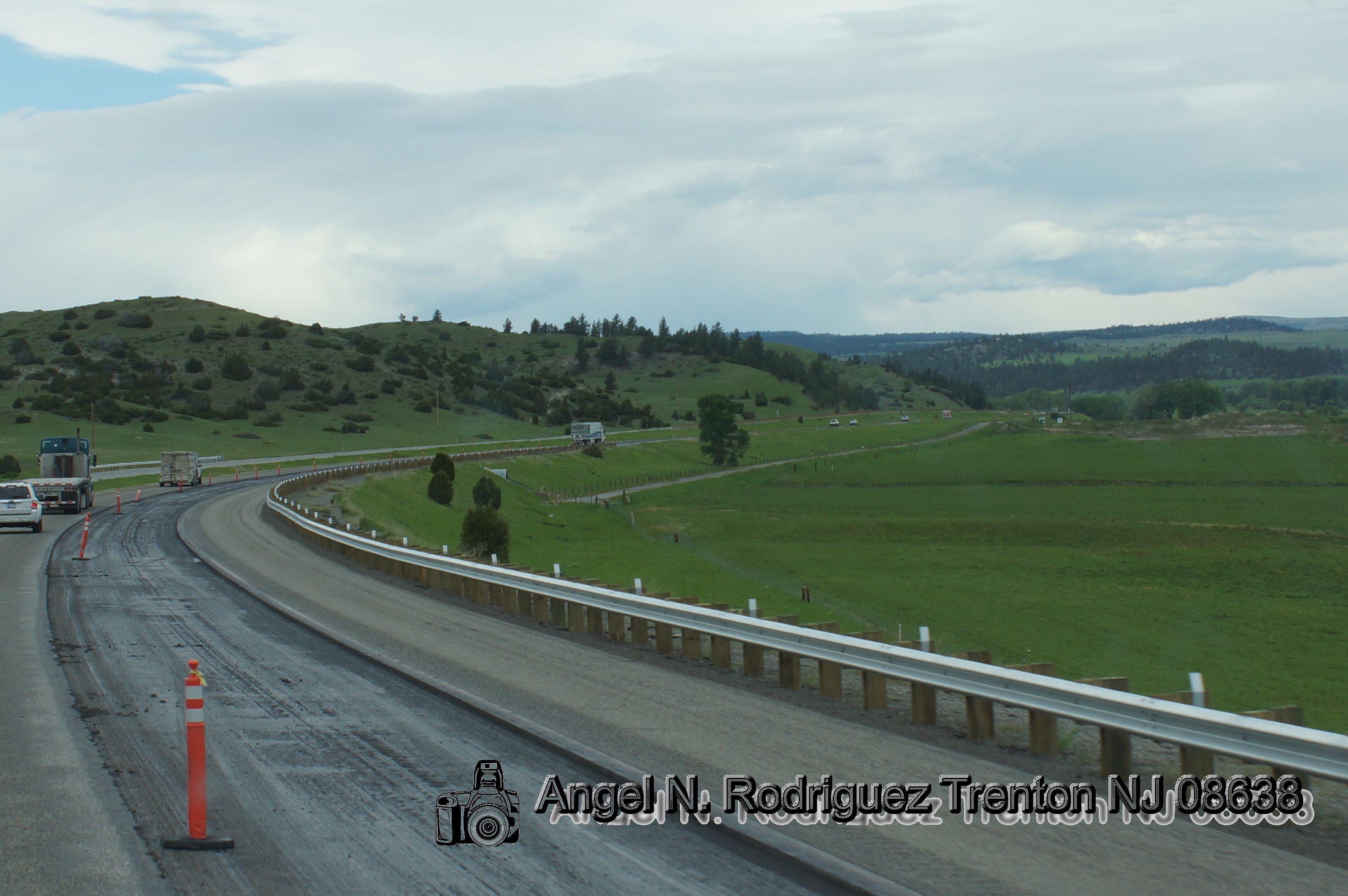
Reed Point, Montana
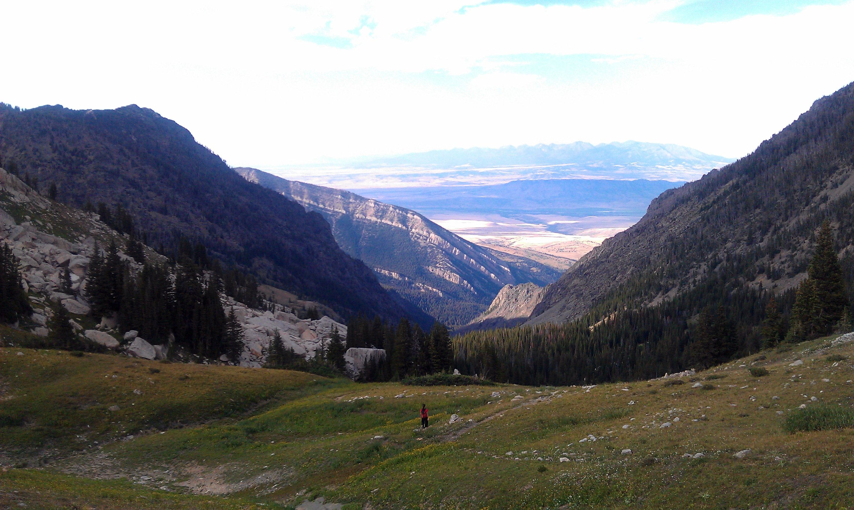
Heading down from the saddle east of Elephanthead Peak
IMG_0474.JPG

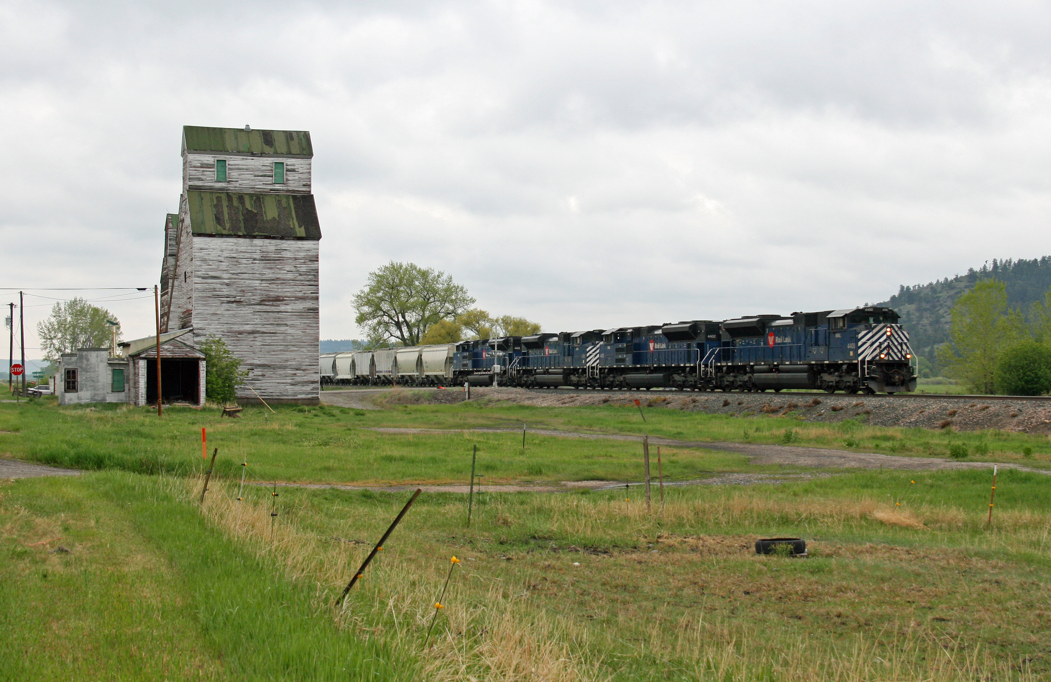
BNSF 4456 & 6510 C44-9W & SD45-2 @ MT

Jet trails over the Yellowstone

Wyoming Utah

Wyoming area
Wyoming area

Wyoming area

Wyoming area

Wyoming area
Wyoming area
Wyoming area
Wyoming area
Wyoming area

Wyoming Utah
Wyoming area

Wyoming Utah

Wyoming area
Topographic Map of Reed Point, MT, USA
Find elevation by address:

Places near Reed Point, MT, USA:
28 S Yellowstone Stage Trail Rd
5 Work Creek Rd
Stillwater County
61 Balfour Loop Rd
Absarokee
5 Midnight Canyon Rd 5 Lot #5
28 Lower Midnight Rd
Fishtail
193 Upper Hawk Valley Rd
24 Mountain Vista Rd
Columbus, MT, USA
Itch-kep-pe Park
Columbus
1045 E 2nd Ave N
50 Mystic View Rd
274 Shane Ridge Rd
84 Beartooth Ln
541 Fiddler Creek Rd
MT-78, Roscoe, MT, USA
Roscoe
Recent Searches:
- Elevation of Corso Fratelli Cairoli, 35, Macerata MC, Italy
- Elevation of Tallevast Rd, Sarasota, FL, USA
- Elevation of 4th St E, Sonoma, CA, USA
- Elevation of Black Hollow Rd, Pennsdale, PA, USA
- Elevation of Oakland Ave, Williamsport, PA, USA
- Elevation of Pedrógão Grande, Portugal
- Elevation of Klee Dr, Martinsburg, WV, USA
- Elevation of Via Roma, Pieranica CR, Italy
- Elevation of Tavkvetili Mountain, Georgia
- Elevation of Hartfords Bluff Cir, Mt Pleasant, SC, USA