Elevation of Whaley Bridge, High Peak SK23, UK
Location: United Kingdom > Derbyshire >
Longitude: -1.9841743
Latitude: 53.3298746
Elevation: 171m / 561feet
Barometric Pressure: 99KPa
Elevation Map:
Satellite Map:
Related Photos:
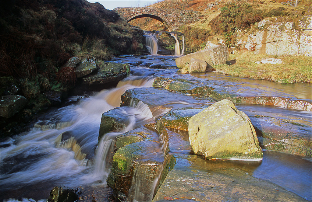
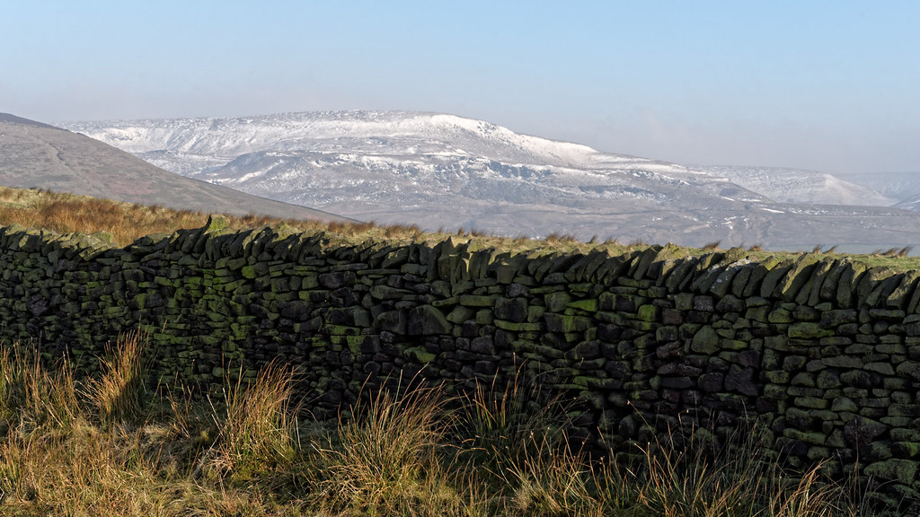
The Limestone way...Cave dale.
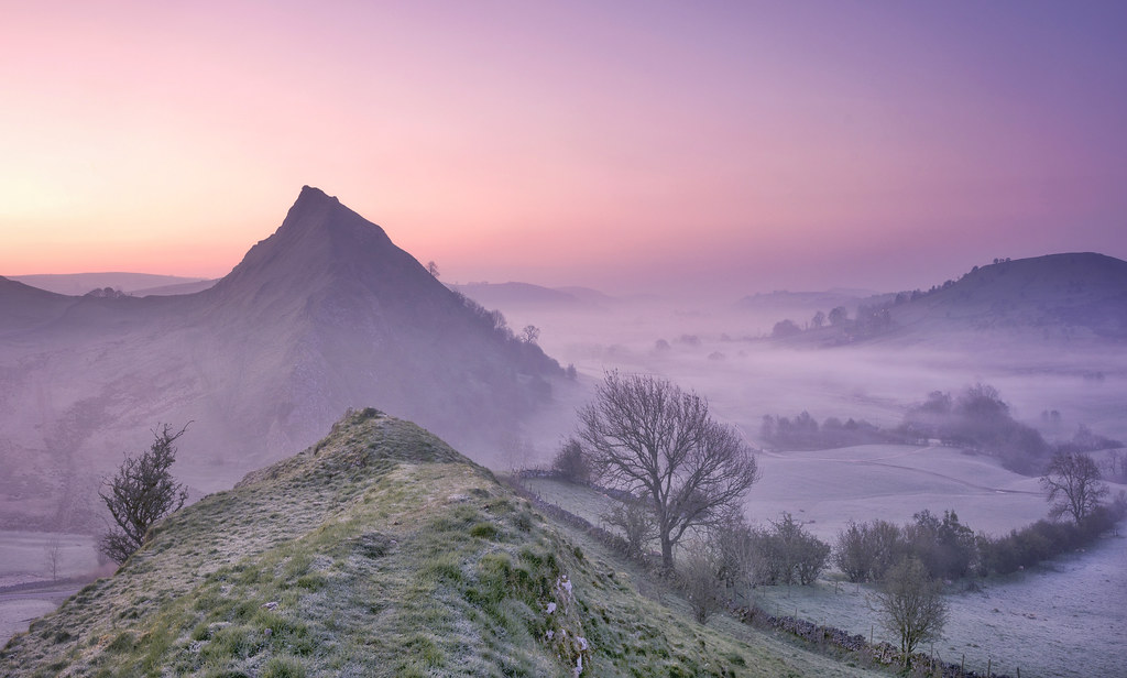
Pastel Peaks
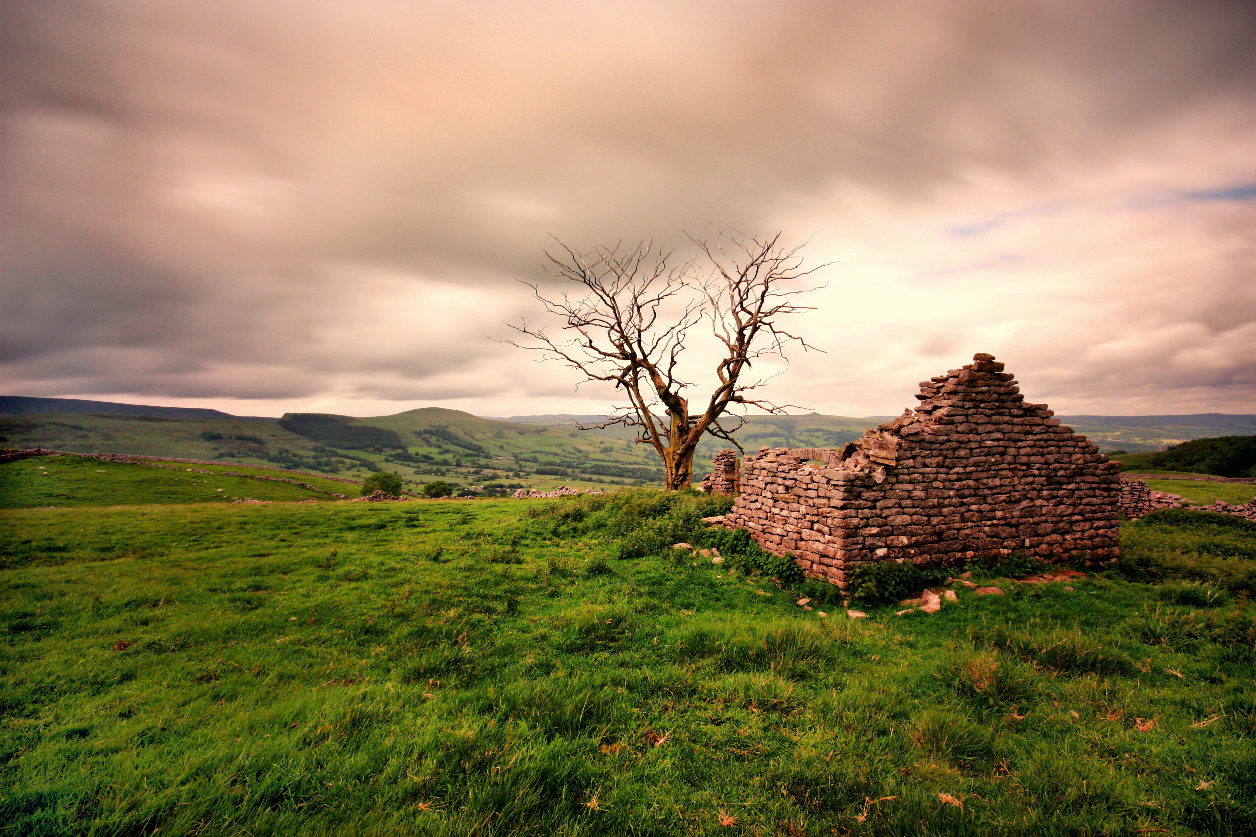
Ruined Barn near Castleton
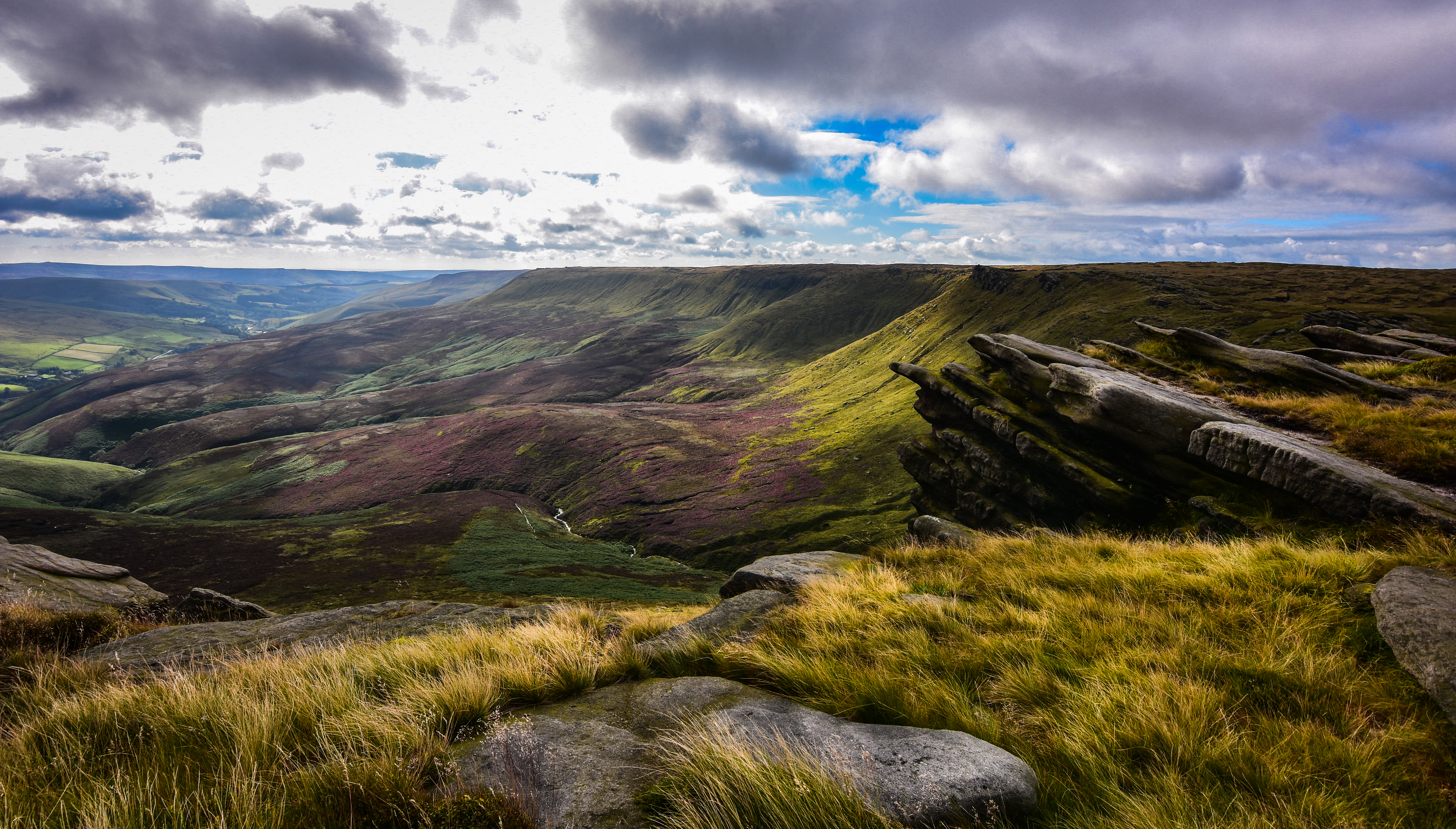
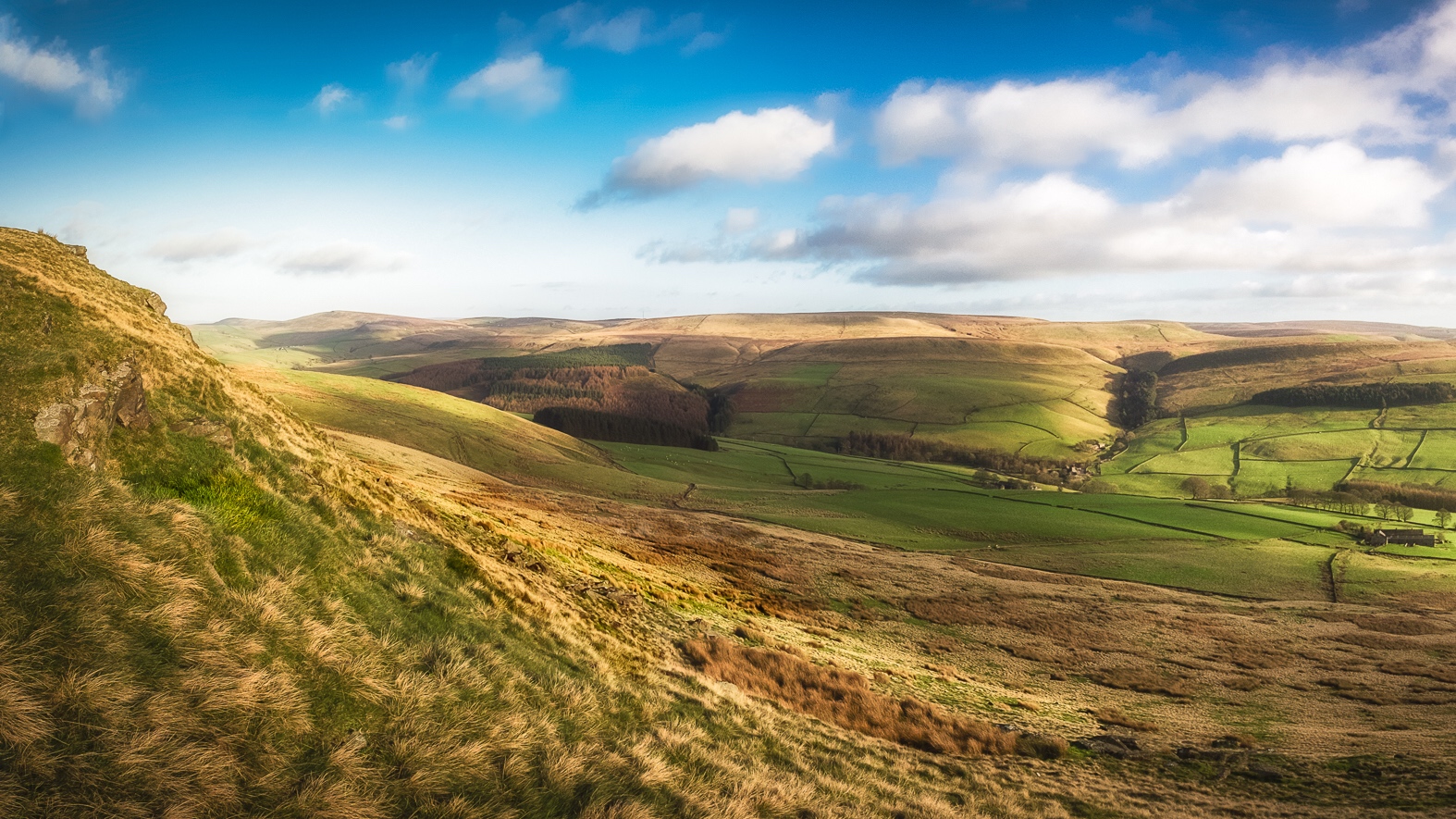
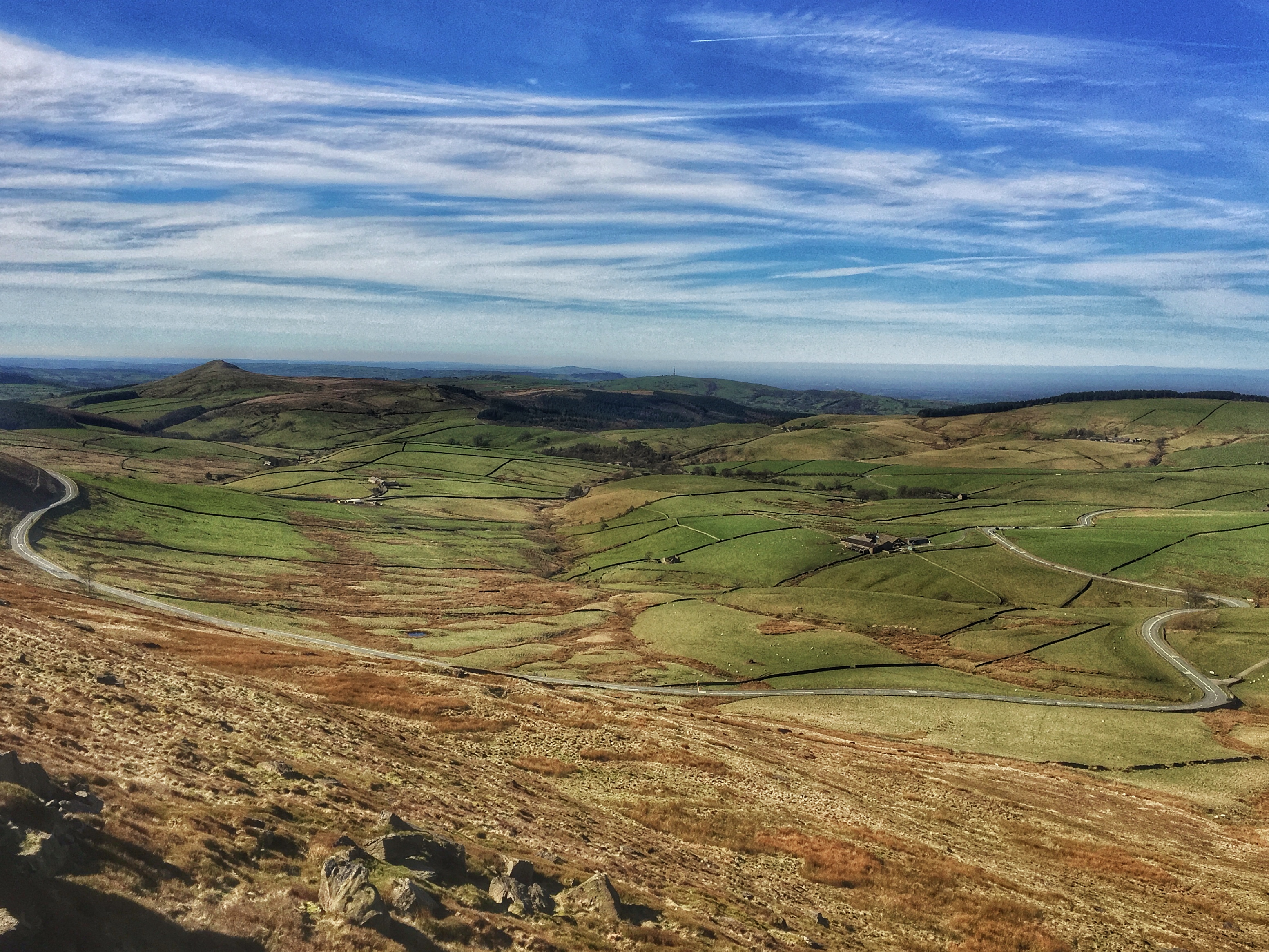
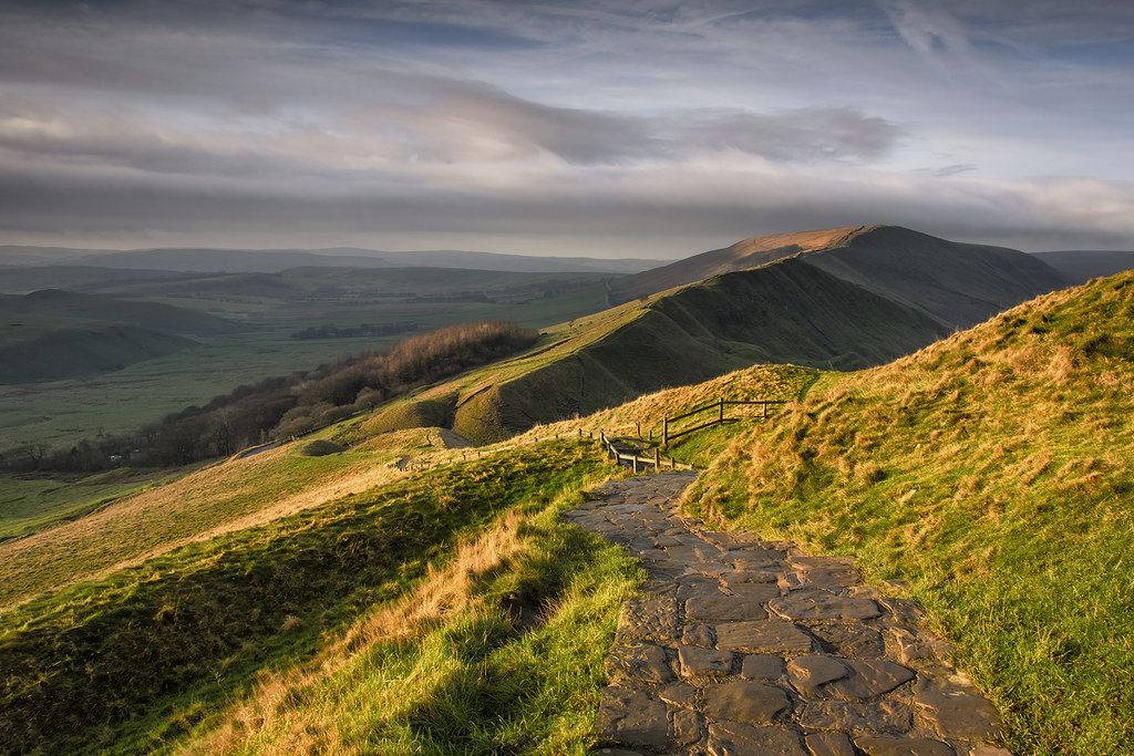
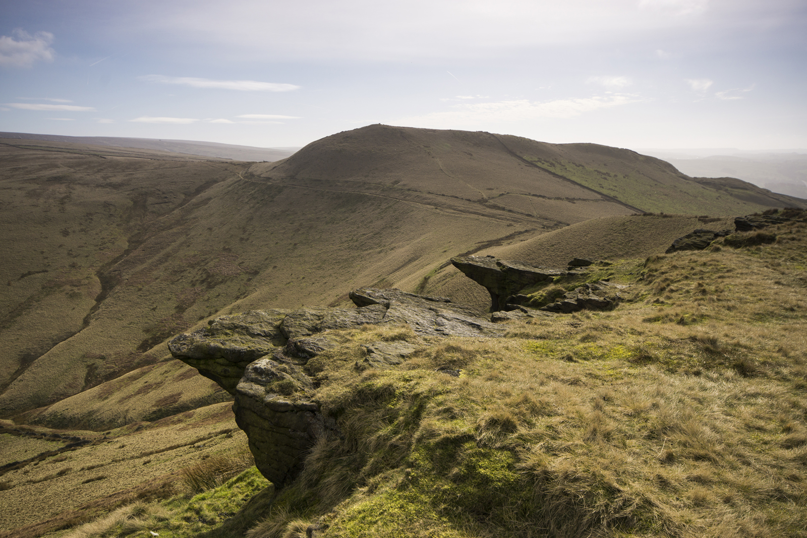
worth the climb
East view from S slope of Shutlingsloe hill, nr Wildboarclough, UK
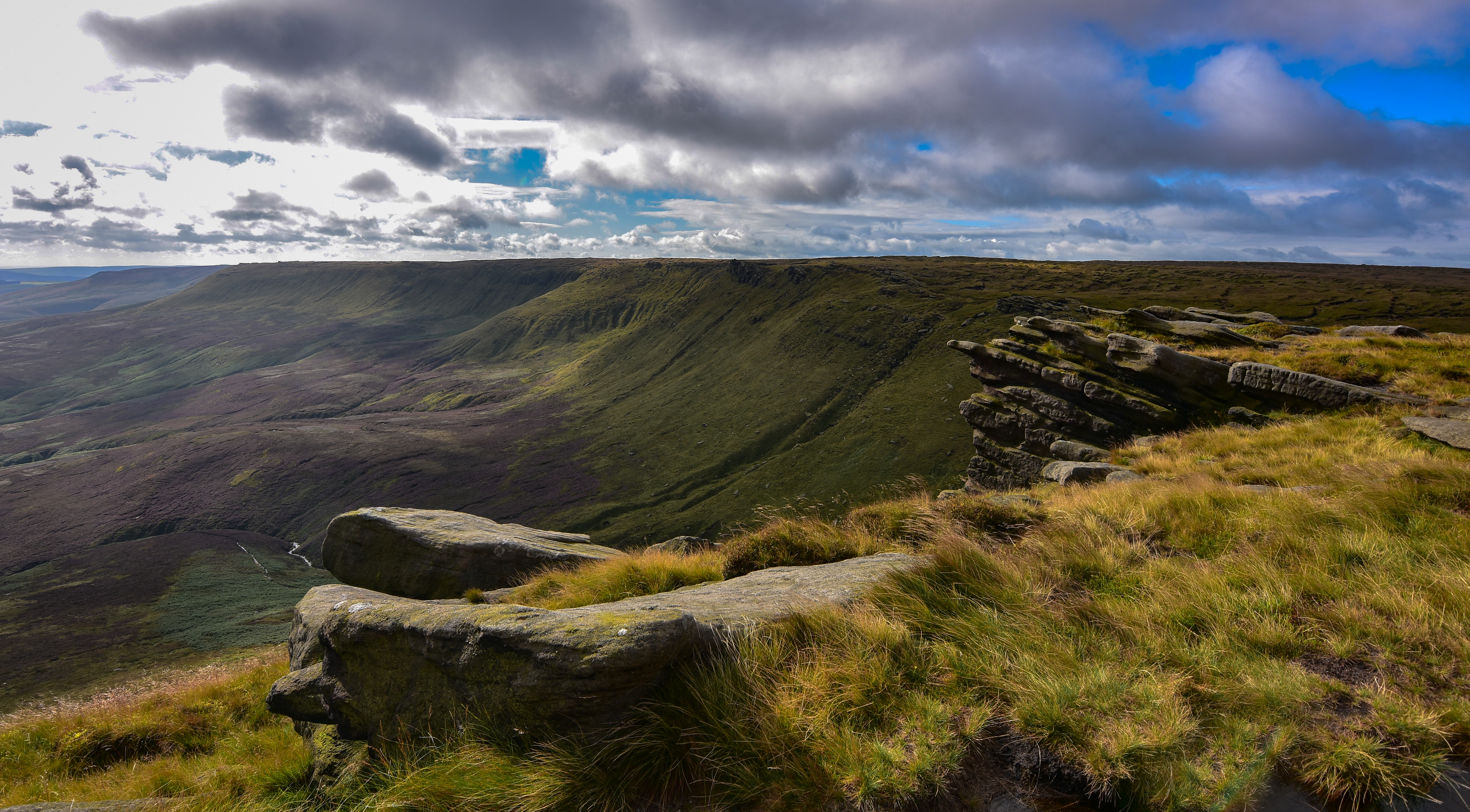
kinder plateau
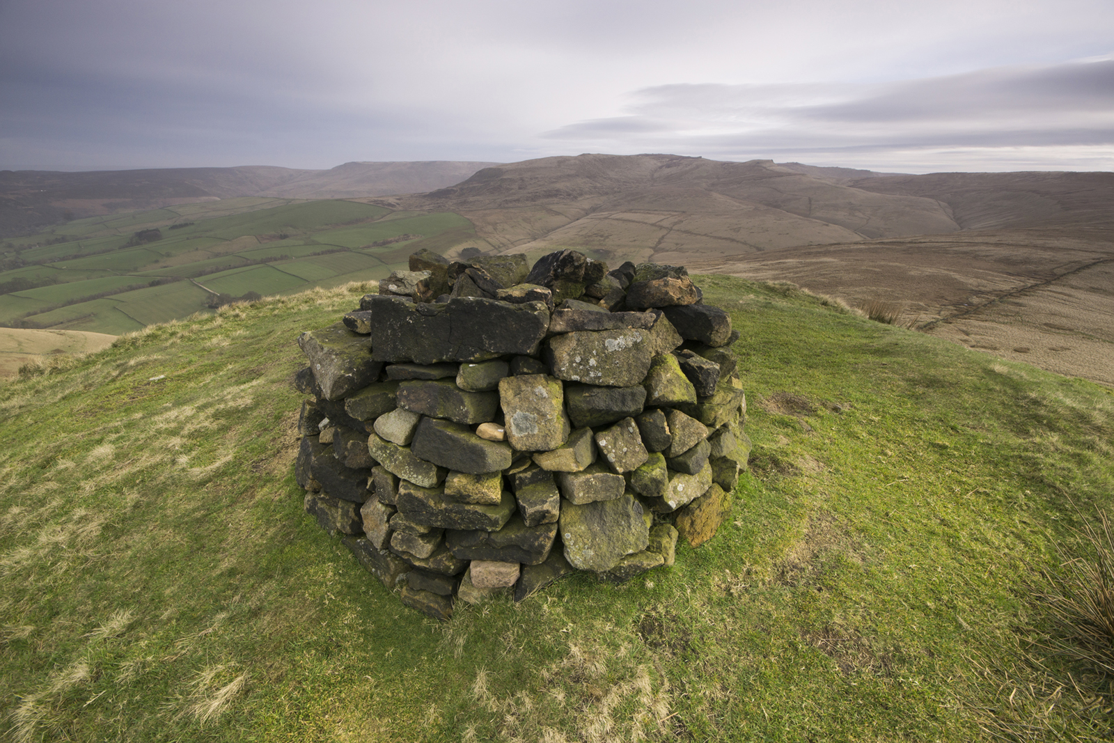
South Head summit

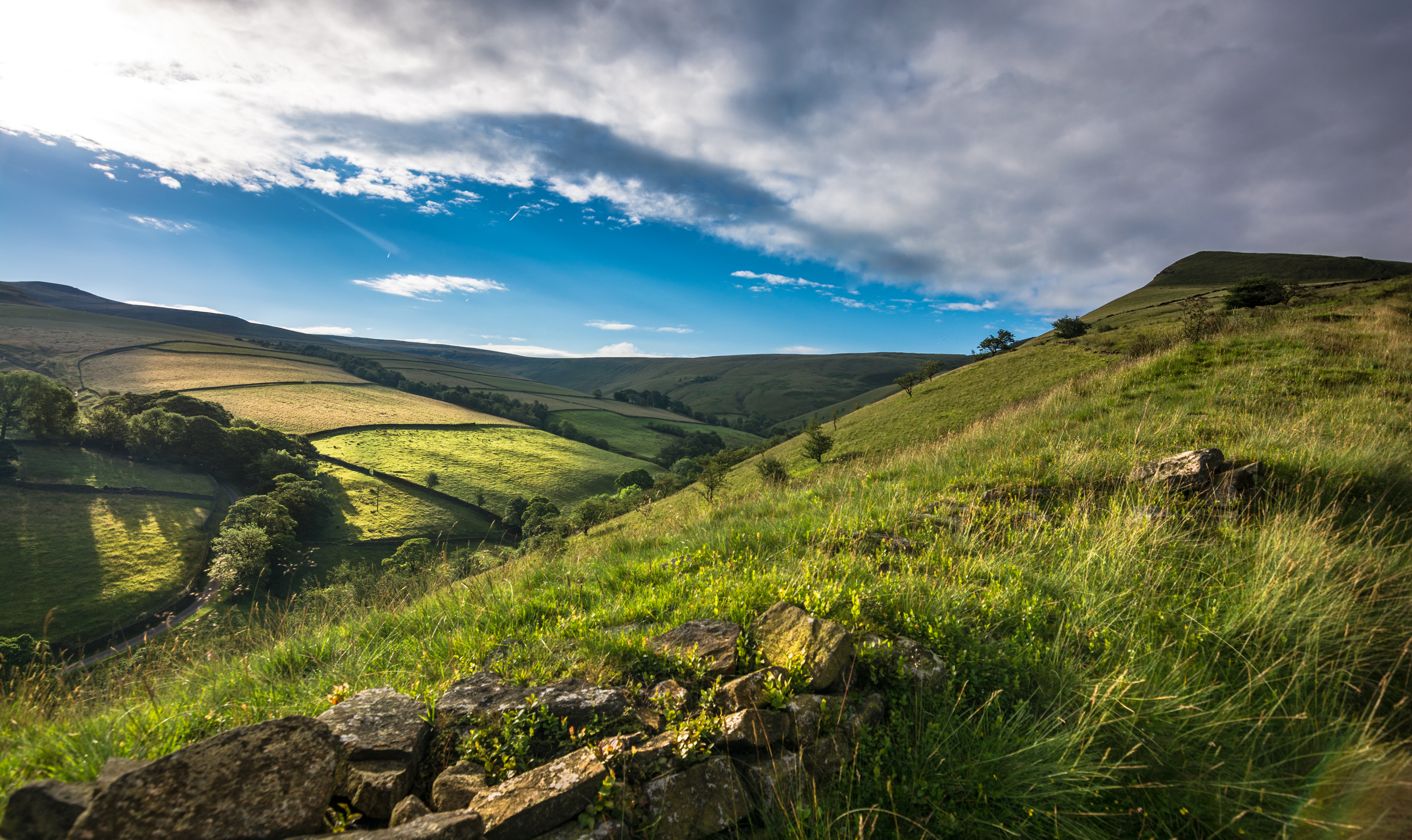
Edale view

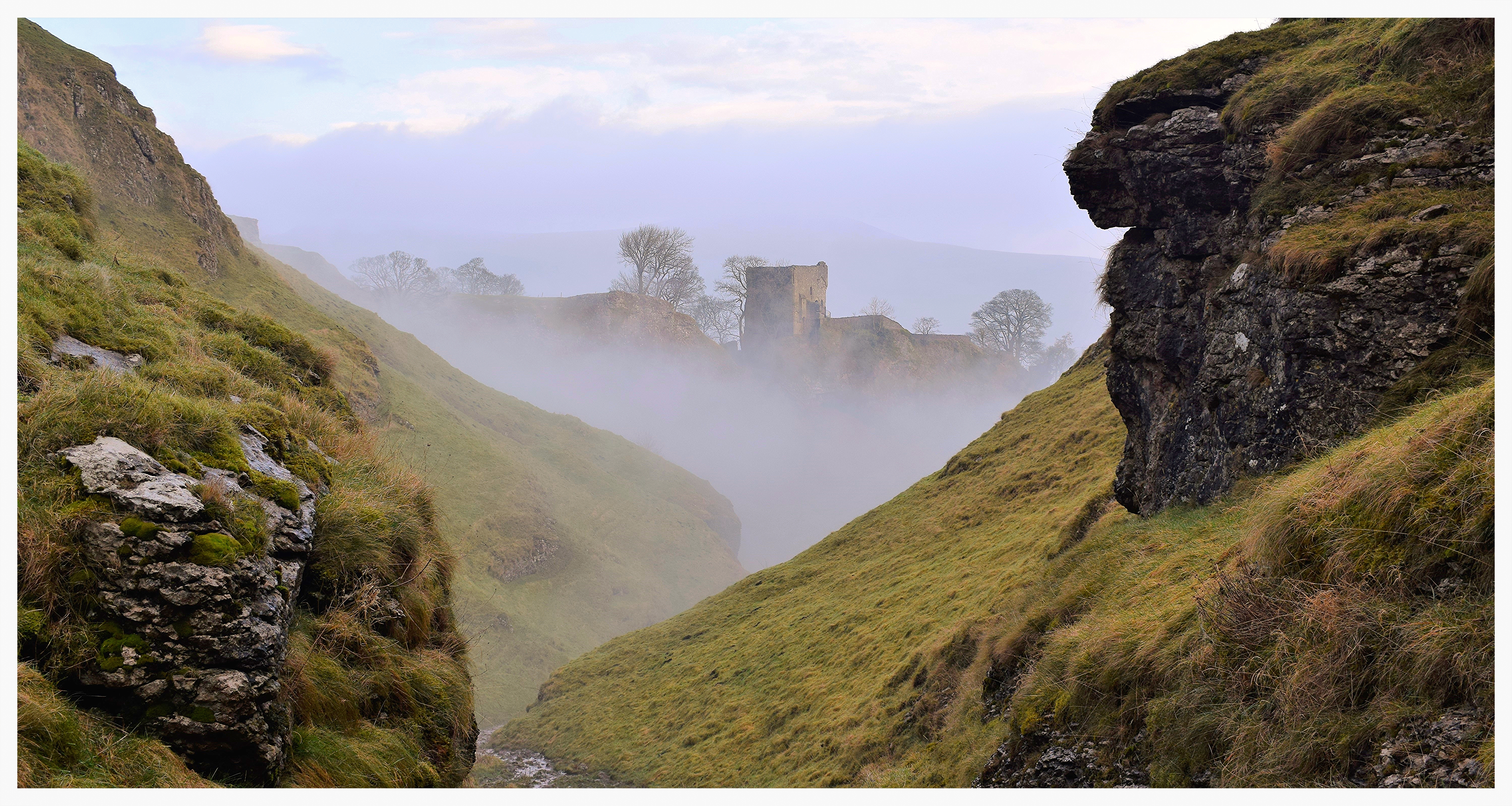
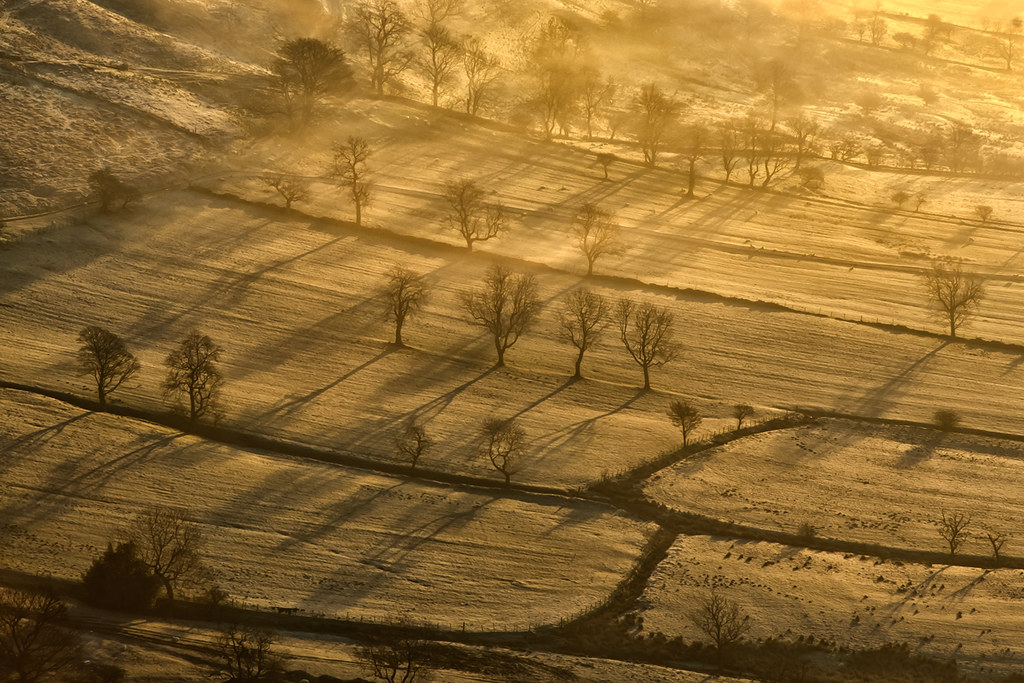
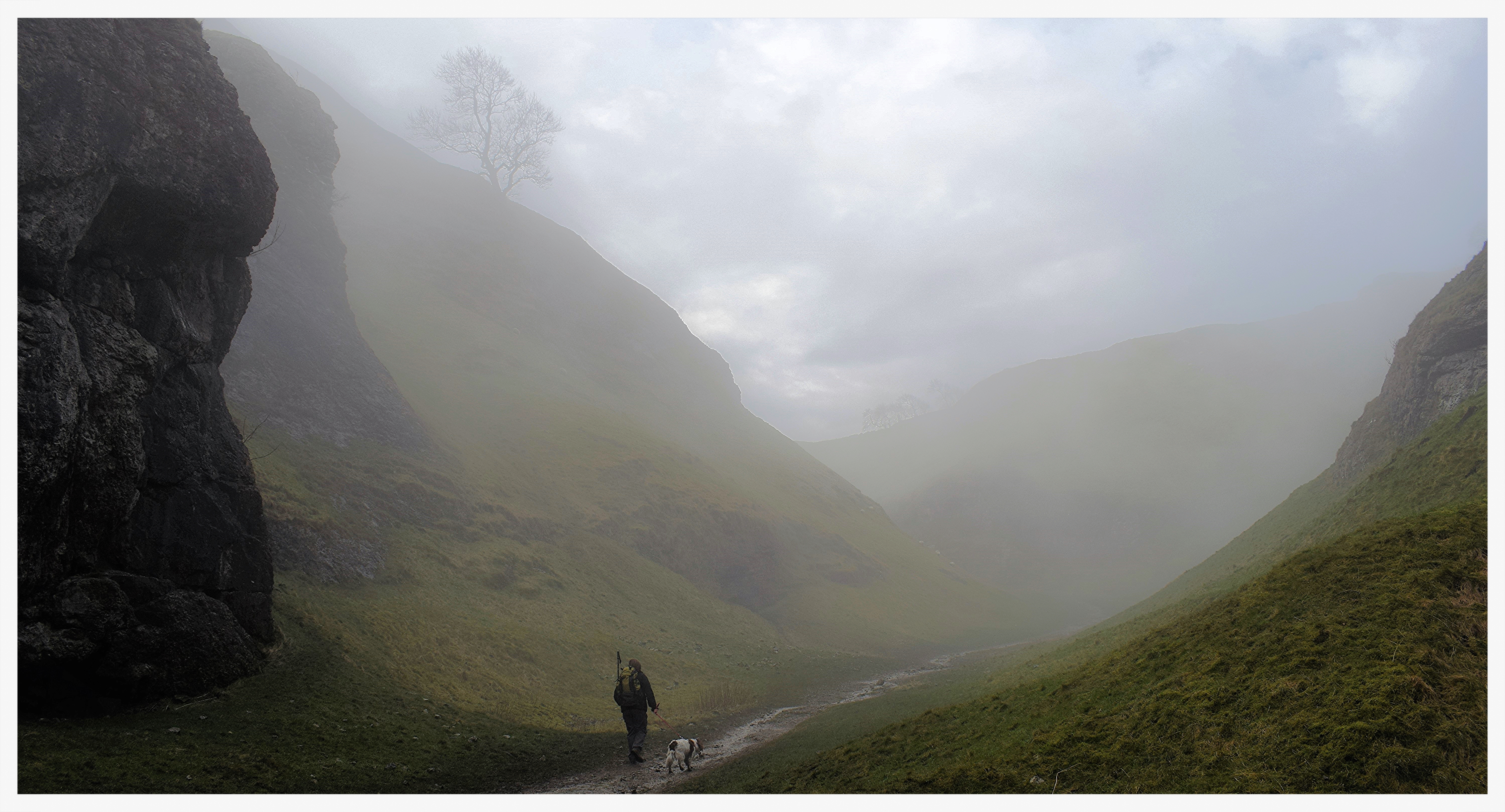
Down the misty valley
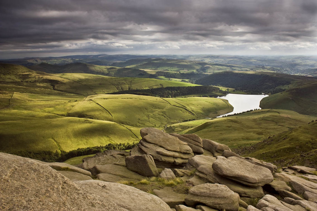
From Kinder.
View from Shining Tor, Peak District.
The sleeping dragon
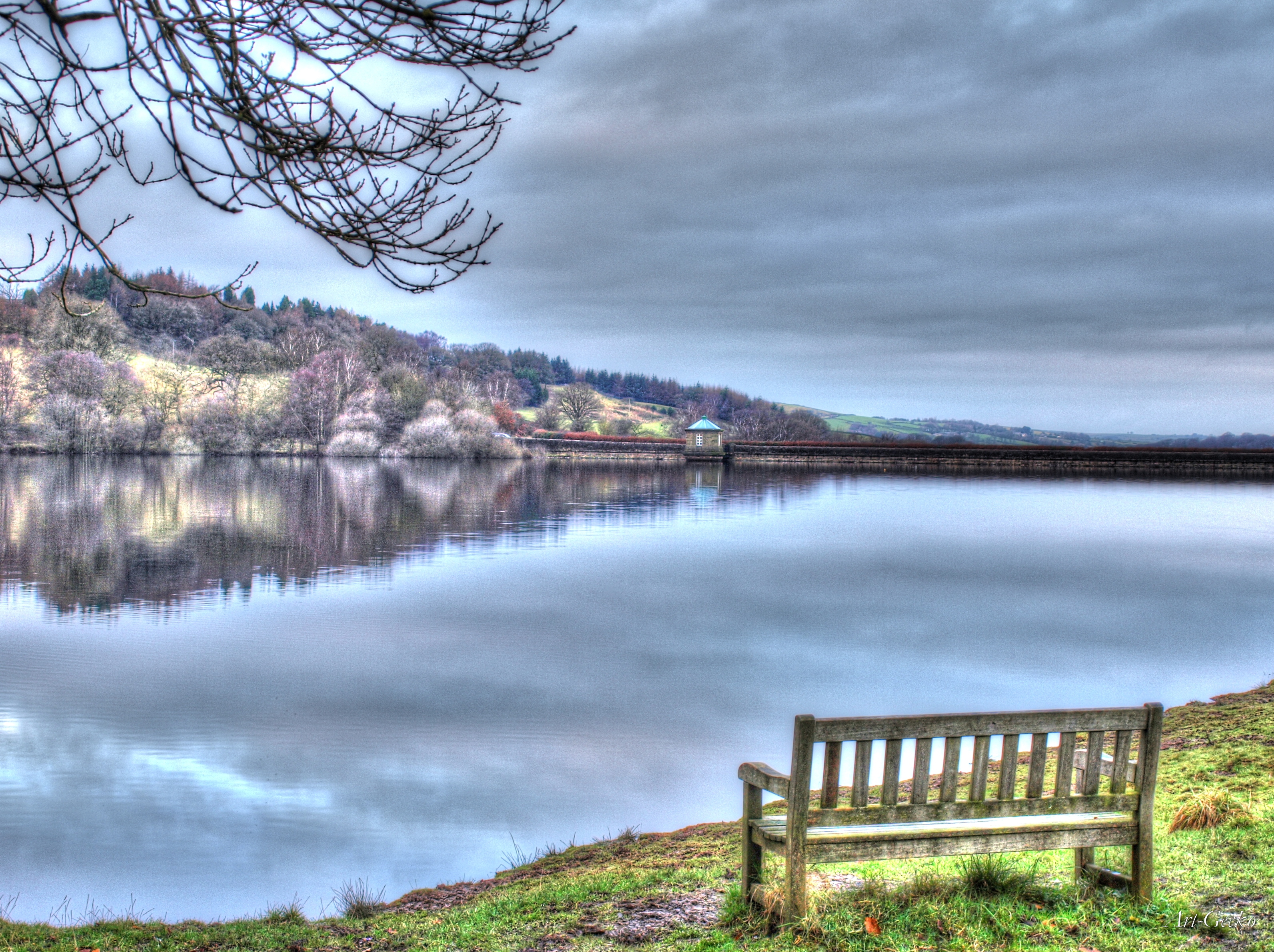
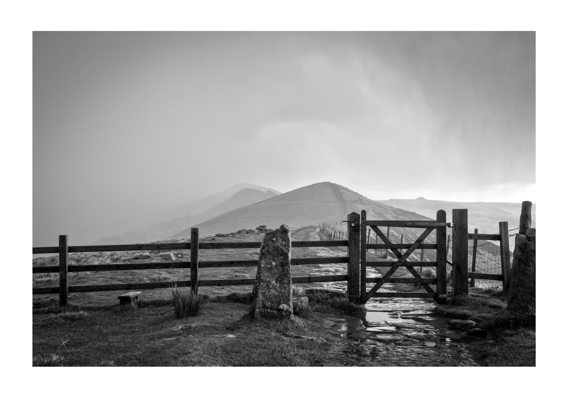
A Bench With A View

Morning Sun
View from Back Tor, Derbyshire

So pretty and on my doorstep, im so lucky!!!!!

Cave Dale view

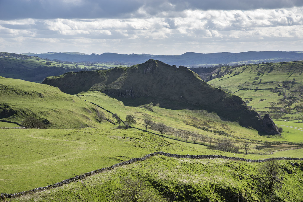
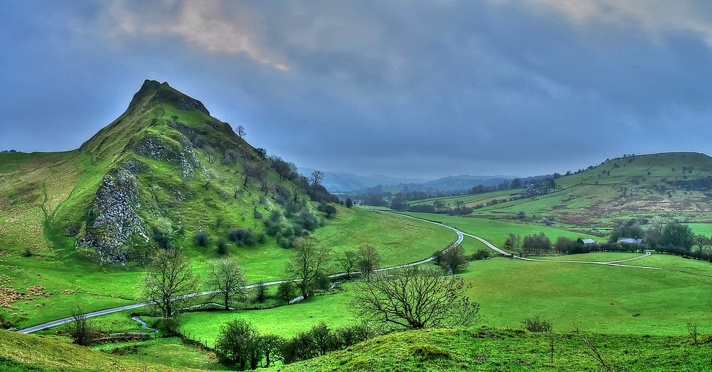
Chrome Hill from Parkhouse hill

Coombs from Eccles Pike
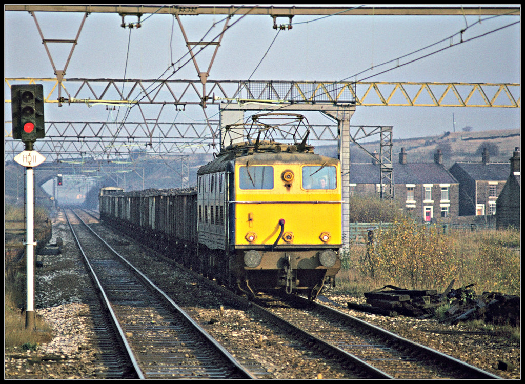
76046 Hadfield 17Nov77
The Other Way
Chrome hill (explore)
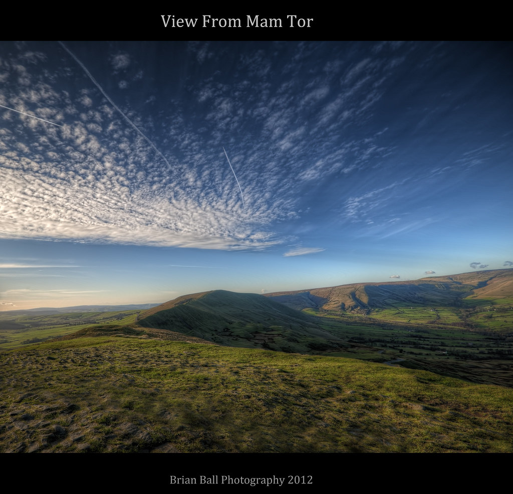
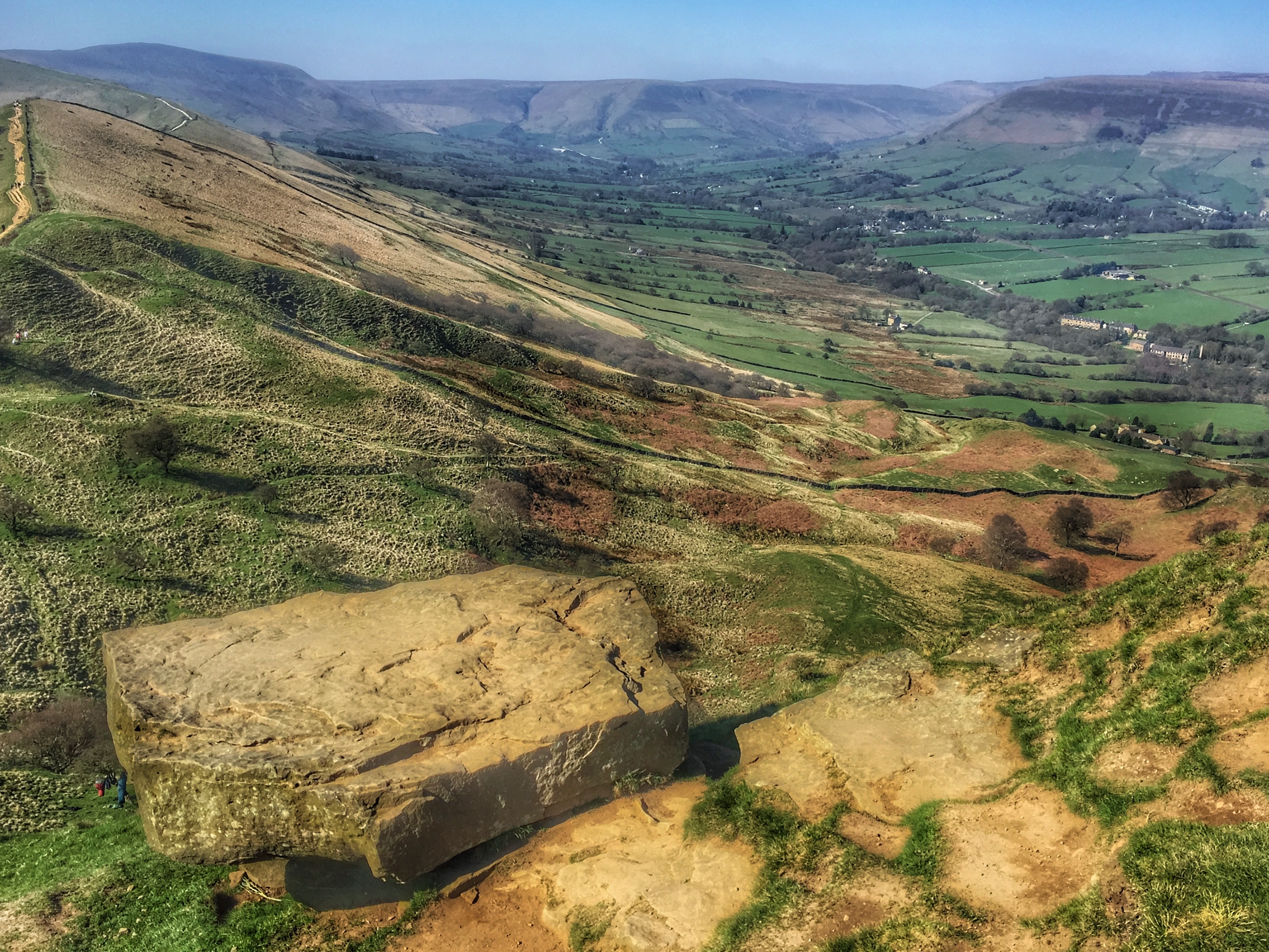
Mam Tor
Light and Shadows
Dreamy Feelings
The Limestone way...Cave dale.

Path into first light
early light
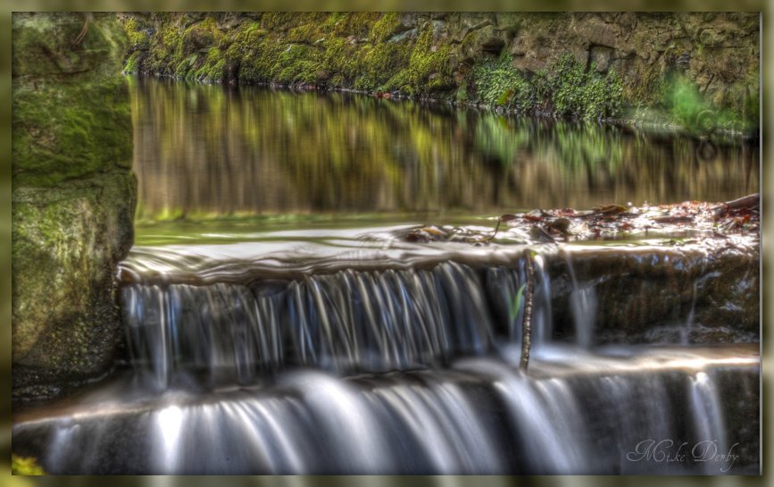
panniers pool
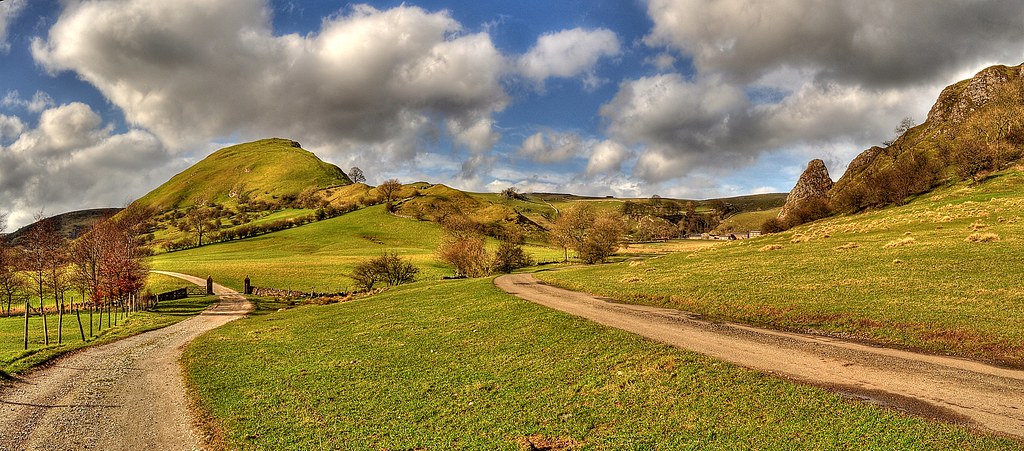
Parkhouse Hill and the Dove Valley
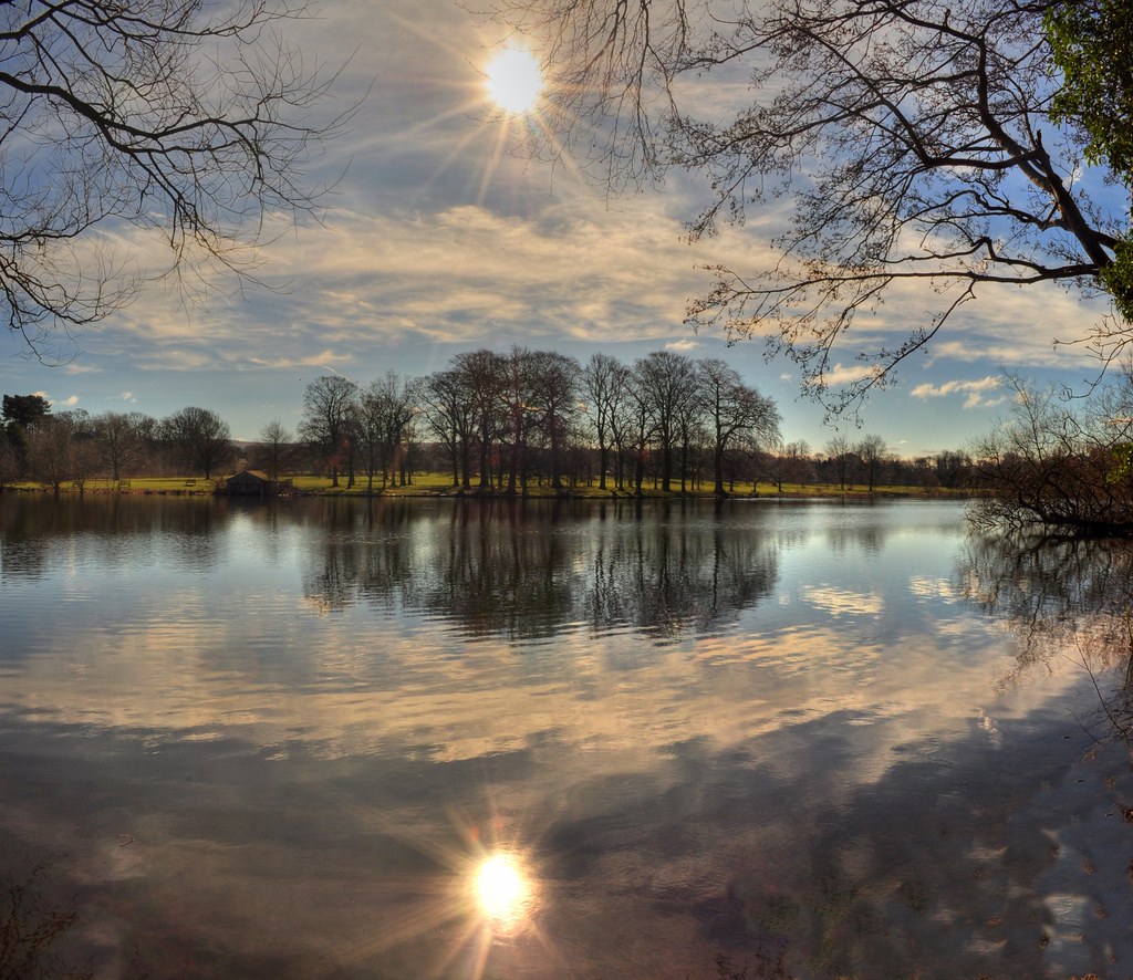
Poynton Pool Sunburst
South Head

Cave Dale 3
Snow on James Thorn
Bleak day on the Great Ridge.

Peak forest canal at Romily 2

South Head
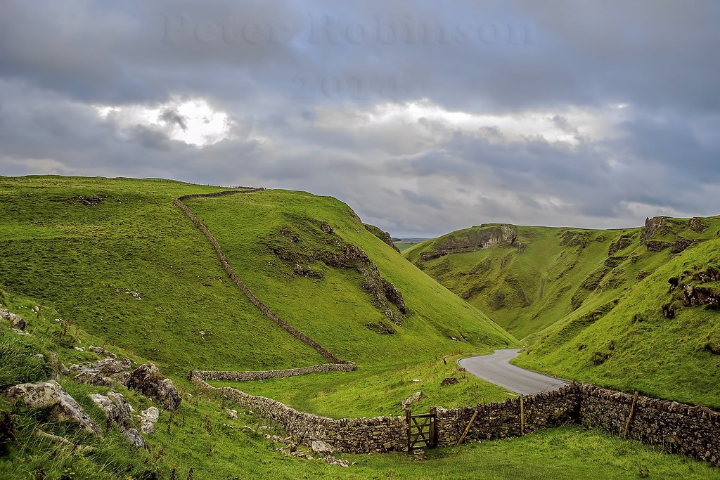
Winnats Pass, Castleton, Derbyshire
Topographic Map of Whaley Bridge, High Peak SK23, UK
Find elevation by address:

Places in Whaley Bridge, High Peak SK23, UK:
Places near Whaley Bridge, High Peak SK23, UK:
10 Rock Bank
Sk23 7bd
Toddbrook Reservoir
2 Paddock Ln
High Bank
Buxworth
High Peak
6 Long Hill, High Peak SK23, UK
Sk23
Sk23 6da
Sk22 3hp
Sk22 3jr
Kettleshulme
Combs Reservoir
New Mills
Chinley
Princes Road
Birch Vale
Combs
Hayfield
Recent Searches:
- Elevation of Corso Fratelli Cairoli, 35, Macerata MC, Italy
- Elevation of Tallevast Rd, Sarasota, FL, USA
- Elevation of 4th St E, Sonoma, CA, USA
- Elevation of Black Hollow Rd, Pennsdale, PA, USA
- Elevation of Oakland Ave, Williamsport, PA, USA
- Elevation of Pedrógão Grande, Portugal
- Elevation of Klee Dr, Martinsburg, WV, USA
- Elevation of Via Roma, Pieranica CR, Italy
- Elevation of Tavkvetili Mountain, Georgia
- Elevation of Hartfords Bluff Cir, Mt Pleasant, SC, USA