Elevation of Kettleshulme, High Peak SK23, UK

Location: United Kingdom > England > Cheshire East >

Longitude: -2.021415

Latitude: 53.3115669

Elevation: 262m / 860feet

Barometric Pressure: 98KPa

Elevation Map:

elevation map of Kettleshulme, High Peak SK23, UK

Satellite Map:

Satellite map of Kettleshulme, High Peak SK23, UK

Related Photos:

backlight backlit contrejour gbrf shed 66703 66731 freight cargo aggregate quarry limestone derbys derbyshire peakforest cemex semaphores peakforestsignalbox 2020 autumn doncasterpsb19812002 capttommoore stone peakdale daleroad zoommeeting doveholes drs 66433 directrailservices landscape signals 6j46 industry industrial complex highpeak bathamgateroad goods
Zoom Meeting
shiningtor shutlingsloe shutlingslow peakdistrict cheshire
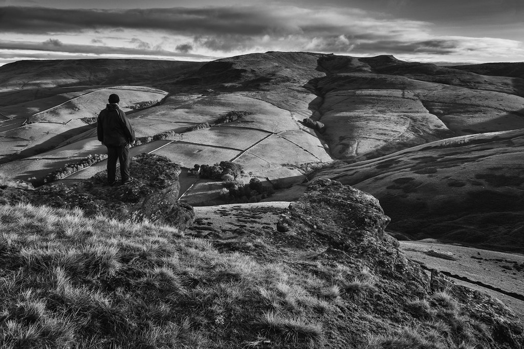
View from Shining Tor
60099 class60 tug tatasteel 6h22 tunstead quarry derbyshire freight limestone cement 2014 industry
Man made beauty?
Cloud View, nr Congleton
hyde england unitedkingdom gb werneth low sunset silhouette
Werneth Low
autumn tug class60 60044 dowlow 6h02 freight cargo derbyshire derbys chinley highpeak goods aggregate 2020 hoppers wagons dbcargo mr midlandrailway train railway trees milepost milepost169 chocolatebox landscape limestone autumnal golden
Autumn chocolate box
neowisecomet solomonstemple buxton derbyshire comet sky clouds folly victorianfolly
NEOWISE Comet Over Solomon's Temple, Buxton, Derbyshire
landscape trees nationaltrust autumnleaves autumn fields peakdistrict
Autumnal view in the Alderley Edge Valley, Cheshire
mamtor motherhill castleton highpeaks derbyshire hillsheep grazing hillfarming agriculture paragliding freeflying slopes bronzeagehill nature landscape wildlife topazlabs topazcreations nikond750 highpeaksderbyshire englandunitedkingdom explored
Sheep on the Mam Tor
photographers togs mamtor derbyshire peakdistrict castleton sunrise dawn inversion fog mist landscapewithrealhumaninit blurryfigures slapdash socialdistancing
Social distancing on Mam Tor
wednesdaywalk walking walk hiking hike cheshire macclesfield canal bridge water ice snow white towpath bollington snowscene frost winter peakdistrict olympusepm1 landscape snowscape trees frosty arch waterway trail cheshirecruisingring frozen freezing gerryhattrick
Canal Bridge 21
rushup edale derbyshire mamtor mist fog cloud inversion peakdistrict
Rushing in to Rushup
brownknoll trigpoint panorama winter snow cold sun icy frozen moorland moor kinderscout shadows tripod windswept white edale derbyshire england unitedkingdom phonecamera iphone apple appleiphone6 selftimer 10secondtimer ronlayters
brown knollorama
Parkhouse hill...1,180ft.
Kerridge ridge view.
landscape derbyshire peakdistrict darkpeak kinderscout mountfamine gritstone gritstonetors blackwhite monochrome
Kinder Scout
water countryside landscape hill reservoir landscapephotography outdoorphotography highpeak england unitedkingdom
Kinder Reservoir, Peak District D85_9644.jpg
nightphotography nocturnal edale peakdistrict lighttrails stars winter snow cold warm tones
Snaking.
landscape derbyshire peakdistrict darkpeak kinderscout edale gritstone gritstonetors brownknoll swinesback edalerocks moorland panorama
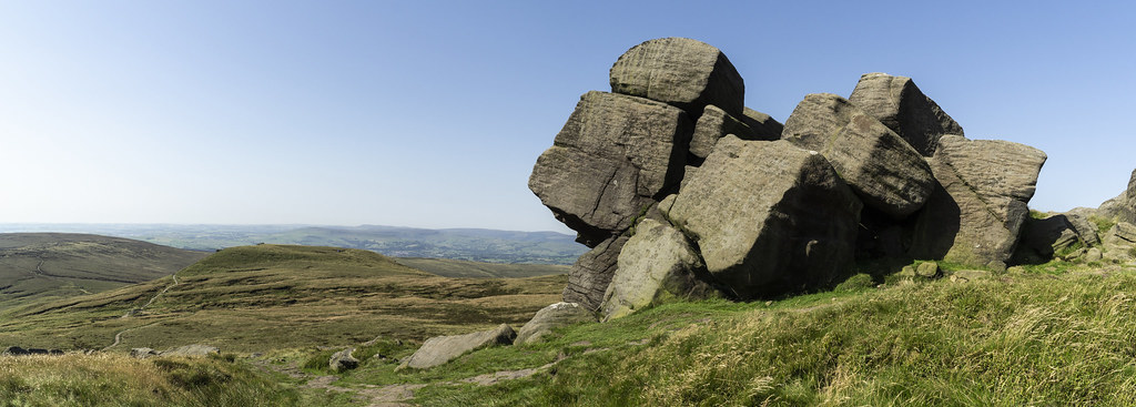
Edale Rocks Panorama
uk derbyshire rural nature british countryside camera lens green yellow orange stone nikon nikkor hiking walking lines clouds sky blue moss lichen out brook glow grass imagesofengland sunlight water light sun outdoor grassland field landscape hill trees plant serene moors ridge great national park mountain moor moorland dale new d5200 rock formation rays edge heather tor world pass outside cloud view peak district long england north overcast path flickr bright railway line hope sheffield manchester
Parallel Lines....
chromehill earlsterndale derbyshirepeakdistrict peakdistrict derbyshire hills mist misty dawn morningglory lonetree panoramic sunrise nikond7100 sigma1835mm parkhousehill
Chrome Dawn
england unitedkingdom peakdistrict highpeak derbyshire combs nationalpark thenationaltrust sky clouds horizon ridge hillside hill hills foothill grasslands grass grassland fields field farmland farm farmanimals farmhouse sheep rockformation rocks landscape rural outdoor countryside pastoral bucolic peaceful idyllic tranquil serene
On The Rocks, Combs, Peak District National Park, Derbyshire, England.
england unitedkingdom highpeak peakdistrict nationalpark thenationaltrust derbyshire hayfield farlandbooth millhouses autumncolours valley foothill grasslands grass grassland fields field stonewalls trees woods farmland farmhouse farm pastoral peaceful landscape outdoor countryside rural idyllic serene tranquil
Farlands Booth, Peak District National Park, Derbyshire, England.
england unitedkingdom highpeak peakdistrict nationalpark thenationaltrust derbyshire hayfield kinderscout kinder kinderdownfall bluesky clouds horizon ridge mountains mountainside mountain hillside hill hills foothill trees moorland grasslands grass grassland rockformation rocks waterfall water wasser valley riverkinder peaceful tranquil serene idyllic landscape countryside rural outdoor
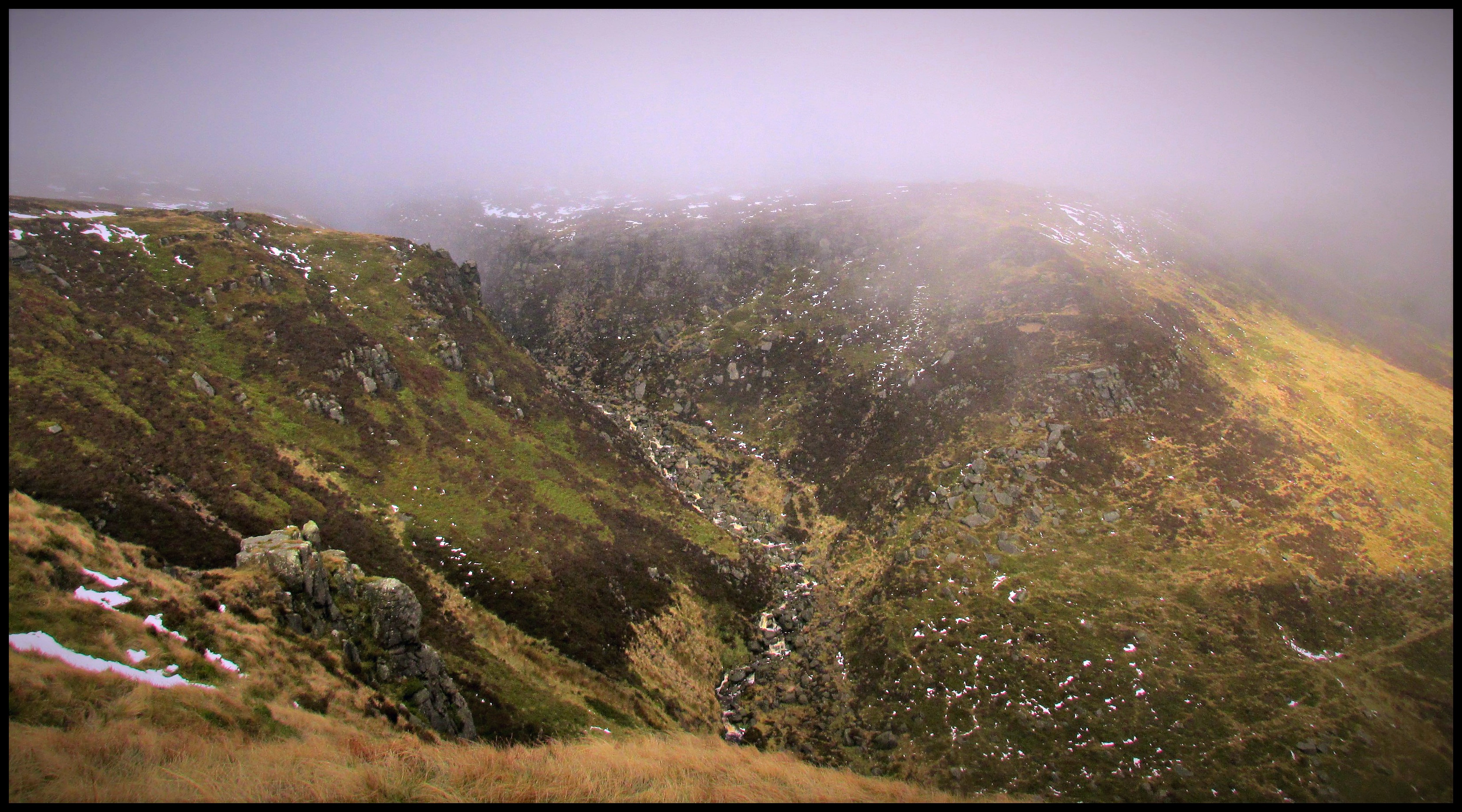
Kinder Downfall, Peak District National Park, Derbyshire, England.
Sunnyside sunrise
chromehill parkhousehill derbyshire limestone whitepeak sunlight shadows earlsterndale sheep hill riverdove upperdovedale
Parkhouse and Chrome Hills
grindslowknoll peakdistrict derbyshire darkpeak
100 Peak tops...No 33...Grindslow knoll.
parkhousehill
Sheep may safely graze
england unitedkingdom highpeak peakdistrict nationalpark thenationaltrust derbyshire valeofedale valley broadleebanktor horsehilltor ridge horizon hillside hills hill foothill grasslands moorland grass fields edale hikerspath hikers people path farmland trees countryside rural landscape outdoor serene idyllic peaceful tranquil
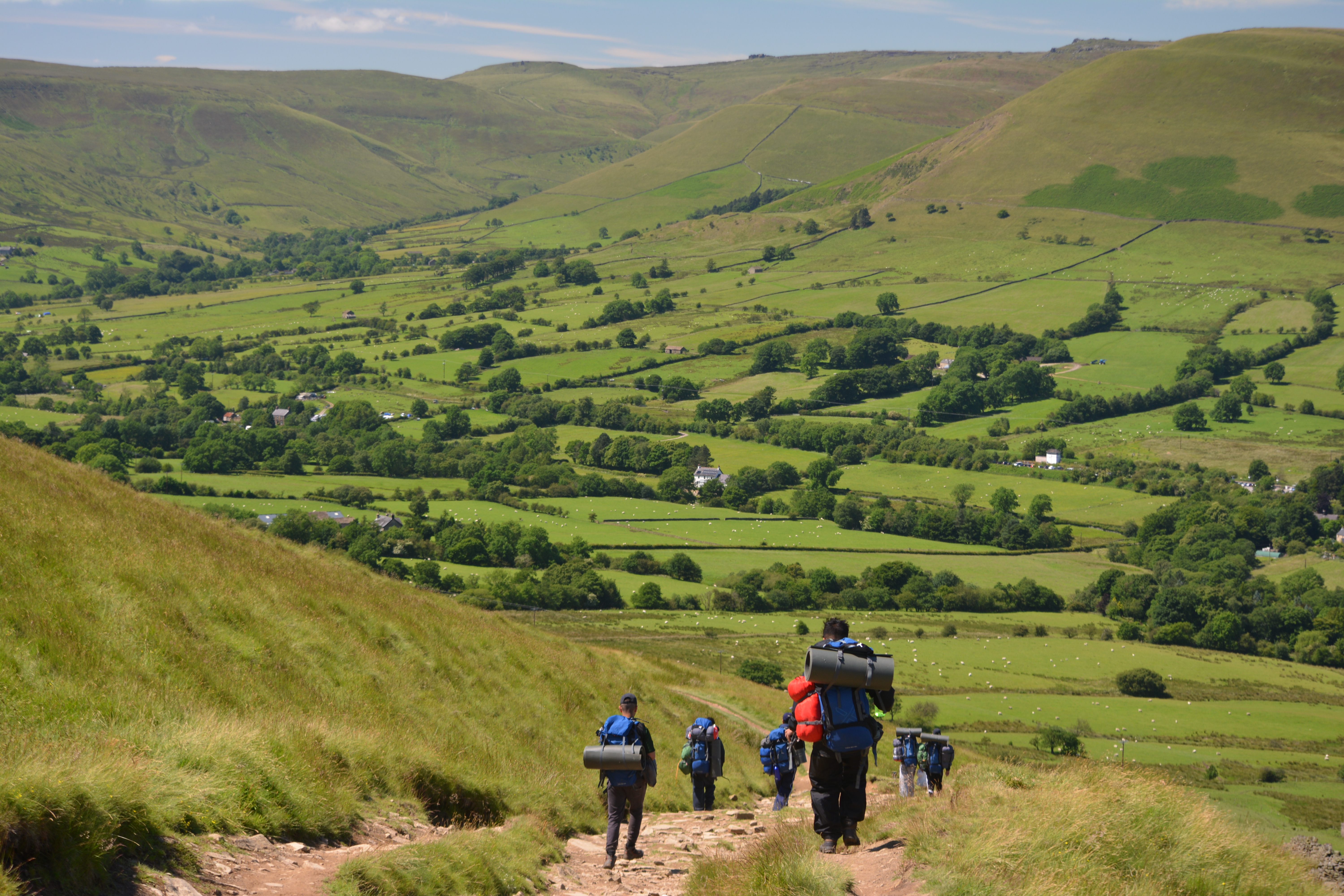
The Path To Edale, Peak District National Park, Derbyshire, England.
england unitedkingdom peakdistrict highpeak derbyshire combs reservoir combsreservoir combssailingclub clubhouse redhouse sailboats boats hillside hill hills foothill grasslands grass grassland fields field trees greenfoliage water wasser landscape outdoor countryside rural peaceful idyllic serene tranquil southhead mountfamine sk23
Combs Sailing Club, Combs, High Peak, Derbyshire, England.
film 35mm peakdistrict fujicolor200 pentaxmesuper edale kinderscout
Brown Knoll
edale greatridge autumn
Great Ridge From Edale
england unitedkingdom peakdistrict highpeak nationalpark thenationaltrust derbyshire chapelmilton malcoff chapelenlefrith horizon ridge hillside hill hills foothill grasslands grass grassland fields field farmland farm farmhouse buildings houses electricitypylon powertower trees landscape countryside outdoor rural tranquil peaceful idyllic serene viaduct
Malcoff, Peak District National Park, Derbyshire, England.
england unitedkingdom nationalpark thenationaltrust highpeak peakdistrict edale valeofedale bluesky broadleebanktor ridge hillside hill foothill grasslands grass fields field sheep farmland farmanimals farm trees landscape outdoor serene idyllic peaceful tranquil rural medow paragliding scenicarea
Broadlee-Bank Tor, Peak District National Park, Derbyshire, England.
england unitedkingdom derbyshire birchvale ridge horizon moorland farmland farm grasslands grass grassland hillside hills hill foothill stonewalls trees landscape outdoor rural countryside tvtower peaceful idyllic tranquil serene bluesky clouds fields field peakdistrict highpeak
TV Tower, Birch Vale, Derbyshire, England.
weather clouds walking hiking derbyshire photomerge iphone6
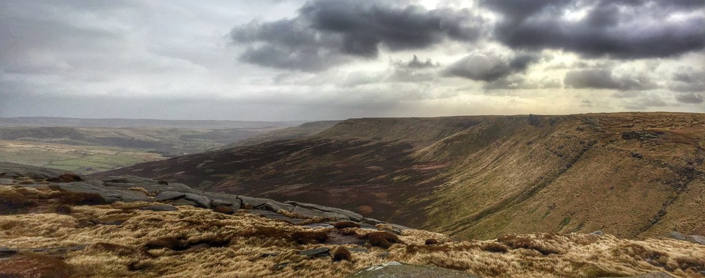
Seal Edge from Fair brook Naze, Derbyshire.
mamtor thegreatridge hopevalley castleton derbyshire peakdistrict edale england greatbritain uk dawn sunrise panoramic pano stitched cementworks flagged pathway landscapephotography landscapes viewpoints corner winhill losehill mist misty inversion phenomenon weather highpeak
Hope and Wide
The Great Ridge from Mam Tor