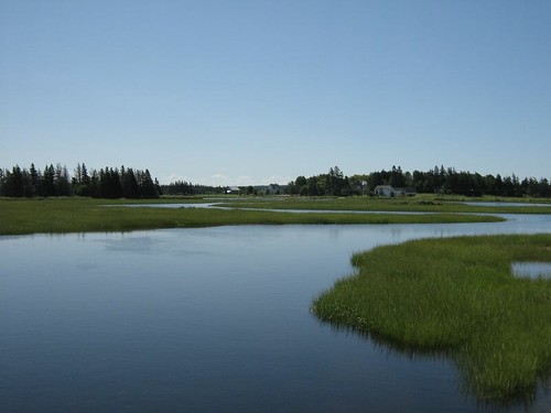
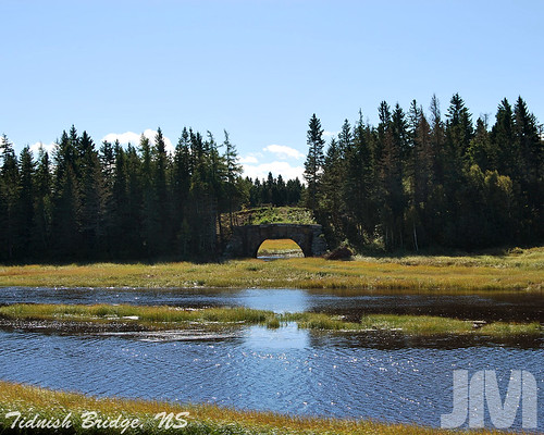
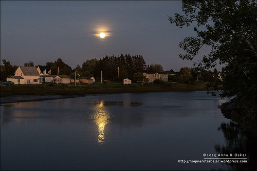
Elevation of Westmorland, NB, Canada
Location: Canada > New Brunswick > Westmorland County >
Longitude: -64.138503
Latitude: 46.011086
Elevation: 25m / 82feet
Barometric Pressure: 101KPa
Related Photos:
Topographic Map of Westmorland, NB, Canada
Find elevation by address:

Places in Westmorland, NB, Canada:
Aulac
Baie Verte
Main St, Westmorland, NB E4M, Canada
75 Parson Rd, Jolicure, NB E4L 2R9, Canada
Lake Road
Jolicure
Places near Westmorland, NB, Canada:
1801 Nb-16
Main St, Westmorland, NB E4M, Canada
Baie Verte
2316 Nb-16
Main Street
Port Elgin
6 Station St
53 Jolicure Rd
815 Nb-970
14 Luciphy Rd, Midgic, NB E4L 1W9, Canada
75 Parson Rd, Jolicure, NB E4L 2R9, Canada
66 Spruce Dr, Amherst, NS B4H 3X9, Canada
58 Jackson's Point Rd
Jolicure
187 Jackson's Point Rd
Lake Road
37 Tidnish Head Branch, Amherst, NS B4H 3X9, Canada
710 Tidnish Head Rd
NB-, Sackville, NB E4L 1Y6, Canada
Recent Searches:
- Elevation of Corso Fratelli Cairoli, 35, Macerata MC, Italy
- Elevation of Tallevast Rd, Sarasota, FL, USA
- Elevation of 4th St E, Sonoma, CA, USA
- Elevation of Black Hollow Rd, Pennsdale, PA, USA
- Elevation of Oakland Ave, Williamsport, PA, USA
- Elevation of Pedrógão Grande, Portugal
- Elevation of Klee Dr, Martinsburg, WV, USA
- Elevation of Via Roma, Pieranica CR, Italy
- Elevation of Tavkvetili Mountain, Georgia
- Elevation of Hartfords Bluff Cir, Mt Pleasant, SC, USA

