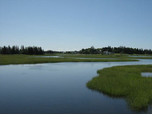
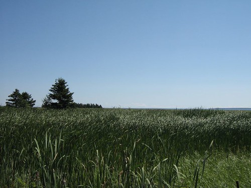
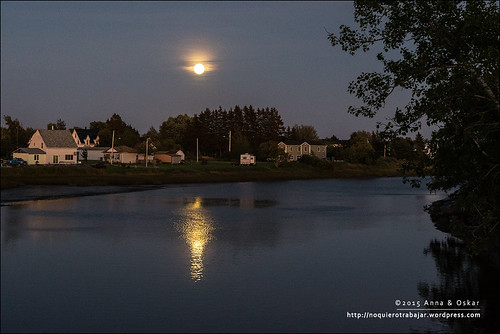
Elevation of 58 Jackson's Point Rd, Amherst, NS B4H 3X9, Canada
Location: Canada > Nova Scotia > Cumberland County > Cumberland, Subd. C > Amherst >
Longitude: -64.03697
Latitude: 45.9972269
Elevation: 1m / 3feet
Barometric Pressure: 101KPa
Related Photos:
Topographic Map of 58 Jackson's Point Rd, Amherst, NS B4H 3X9, Canada
Find elevation by address:

Places near 58 Jackson's Point Rd, Amherst, NS B4H 3X9, Canada:
66 Spruce Dr, Amherst, NS B4H 3X9, Canada
187 Jackson's Point Rd
37 Tidnish Head Branch, Amherst, NS B4H 3X9, Canada
710 Tidnish Head Rd
815 Nb-970
Baie Verte
Main St, Westmorland, NB E4M, Canada
Main Street
6 Station St
Port Elgin
2316 Nb-16
1801 Nb-16
Westmorland
53 Jolicure Rd
75 Parson Rd, Jolicure, NB E4L 2R9, Canada
Jolicure
14 Luciphy Rd, Midgic, NB E4L 1W9, Canada
Lake Road
NB-, Sackville, NB E4L 1Y6, Canada
Recent Searches:
- Elevation of Corso Fratelli Cairoli, 35, Macerata MC, Italy
- Elevation of Tallevast Rd, Sarasota, FL, USA
- Elevation of 4th St E, Sonoma, CA, USA
- Elevation of Black Hollow Rd, Pennsdale, PA, USA
- Elevation of Oakland Ave, Williamsport, PA, USA
- Elevation of Pedrógão Grande, Portugal
- Elevation of Klee Dr, Martinsburg, WV, USA
- Elevation of Via Roma, Pieranica CR, Italy
- Elevation of Tavkvetili Mountain, Georgia
- Elevation of Hartfords Bluff Cir, Mt Pleasant, SC, USA
