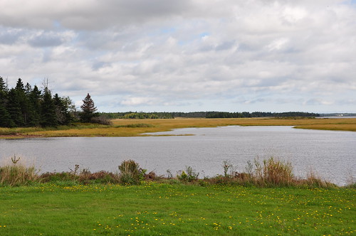
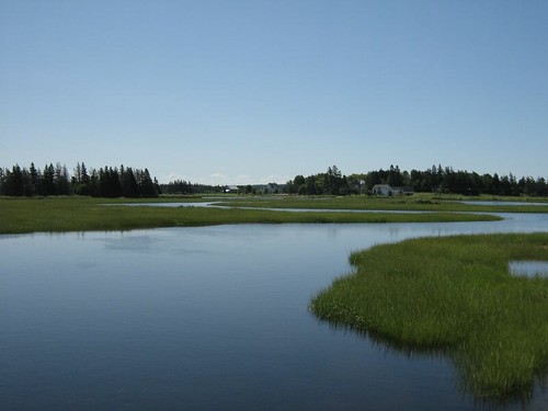
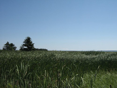
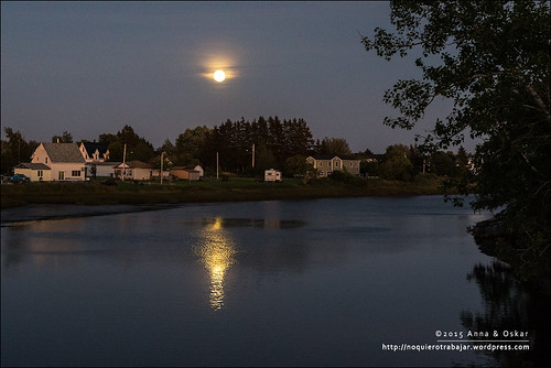
Elevation of NB-, Sackville, NB E4L 1Y6, Canada
Location: Canada > New Brunswick > Westmorland County > Sackville >
Longitude: -64.2823738
Latitude: 46.047833
Elevation: 52m / 171feet
Barometric Pressure: 0KPa
Related Photos:
Topographic Map of NB-, Sackville, NB E4L 1Y6, Canada
Find elevation by address:

Places near NB-, Sackville, NB E4L 1Y6, Canada:
Sackville
14 Luciphy Rd, Midgic, NB E4L 1W9, Canada
Lake Road
Jolicure
53 Jolicure Rd
75 Parson Rd, Jolicure, NB E4L 2R9, Canada
Brine Lane
43 Pond Shore Rd
Mt View Rd, Sackville, NB E4L 1P4, Canada
Cormier Village Rd, Cormier-Village, NB E4P 5W3, Canada
387 Main St
Westmorland
Haute-aboujagane
1801 Nb-16
158 Ogden Mill Rd
223 Main St
111 Ogden Mill Rd
111 Ogden Mill Rd
38 Devon Ave
84 Bridge St
Recent Searches:
- Elevation of Sullivan Hill, New York, New York, 10002, USA
- Elevation of Morehead Road, Withrow Downs, Charlotte, Mecklenburg County, North Carolina, 28262, USA
- Elevation of 2800, Morehead Road, Withrow Downs, Charlotte, Mecklenburg County, North Carolina, 28262, USA
- Elevation of Yangbi Yi Autonomous County, Yunnan, China
- Elevation of Pingpo, Yangbi Yi Autonomous County, Yunnan, China
- Elevation of Mount Malong, Pingpo, Yangbi Yi Autonomous County, Yunnan, China
- Elevation map of Yongping County, Yunnan, China
- Elevation of North 8th Street, Palatka, Putnam County, Florida, 32177, USA
- Elevation of 107, Big Apple Road, East Palatka, Putnam County, Florida, 32131, USA
- Elevation of Jiezi, Chongzhou City, Sichuan, China
- Elevation of Chongzhou City, Sichuan, China
- Elevation of Huaiyuan, Chongzhou City, Sichuan, China
- Elevation of Qingxia, Chengdu, Sichuan, China
- Elevation of Corso Fratelli Cairoli, 35, Macerata MC, Italy
- Elevation of Tallevast Rd, Sarasota, FL, USA
- Elevation of 4th St E, Sonoma, CA, USA
- Elevation of Black Hollow Rd, Pennsdale, PA, USA
- Elevation of Oakland Ave, Williamsport, PA, USA
- Elevation of Pedrógão Grande, Portugal
- Elevation of Klee Dr, Martinsburg, WV, USA
