Elevation of Main St, Westmorland, NB E4M, Canada
Location: Canada > New Brunswick > Westmorland County > Westmorland >
Longitude: -64.103531
Latitude: 46.0149526
Elevation: 8m / 26feet
Barometric Pressure: 101KPa
Elevation Map:
Satellite Map:
Related Photos:
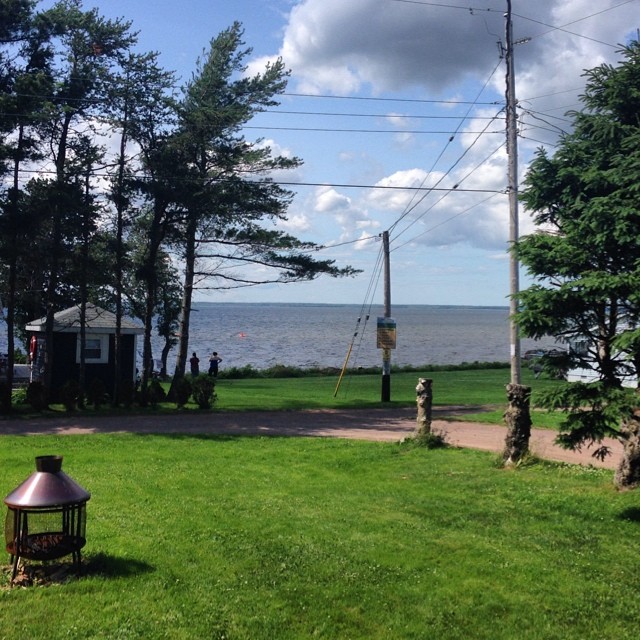
Current view while following up on Friday afternoon emails :) #officeperks #virtual #lifestyle #ixda

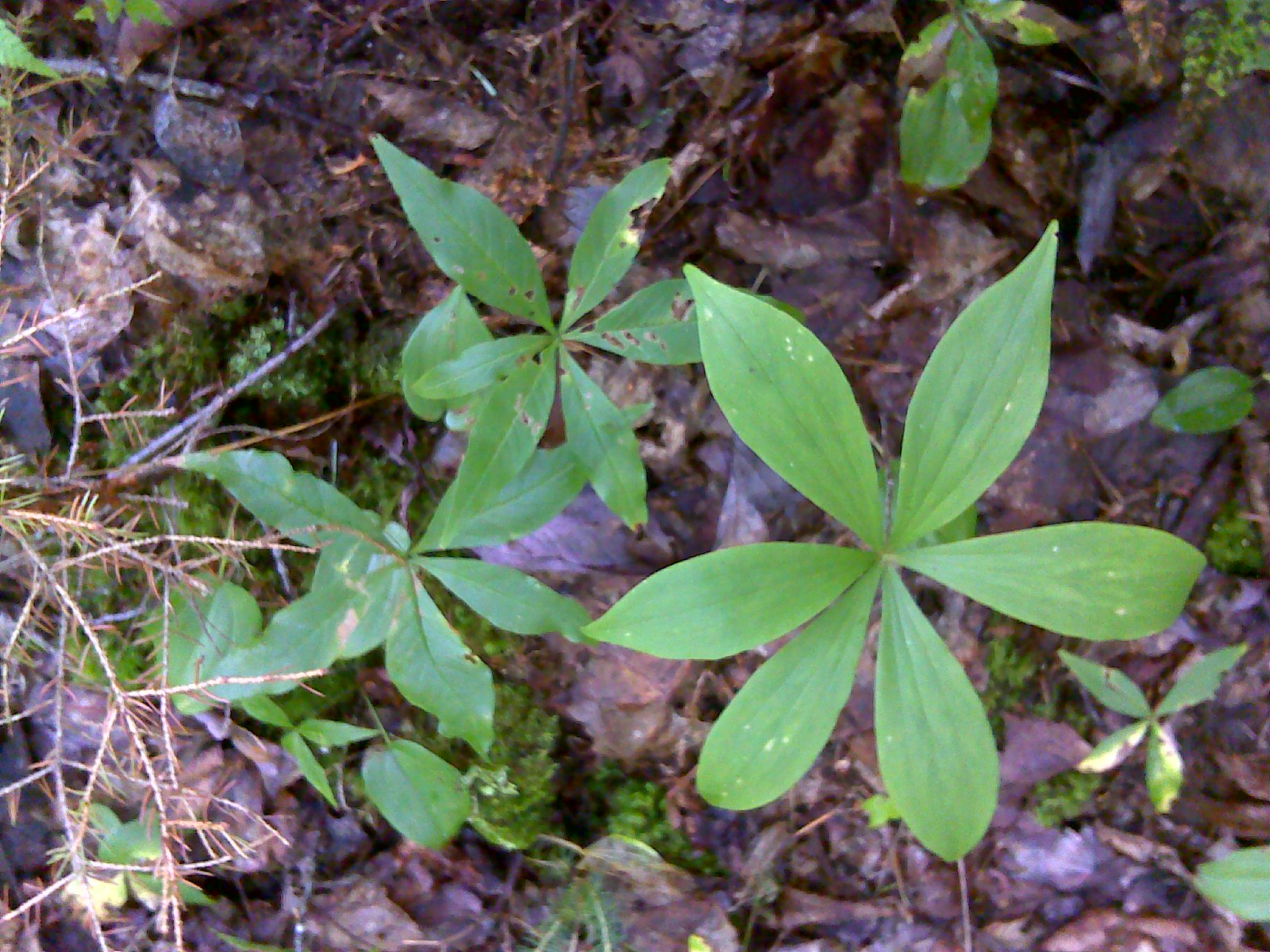
Atlantis Fritillary 20150730 Siddall Rd, Baie Verte (14)
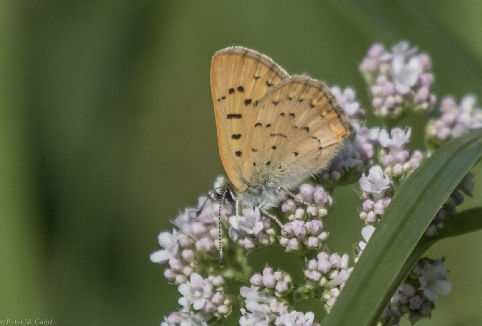
Salt Marsh Copper 20150730 Siddall Rd, Baie Verte (16)

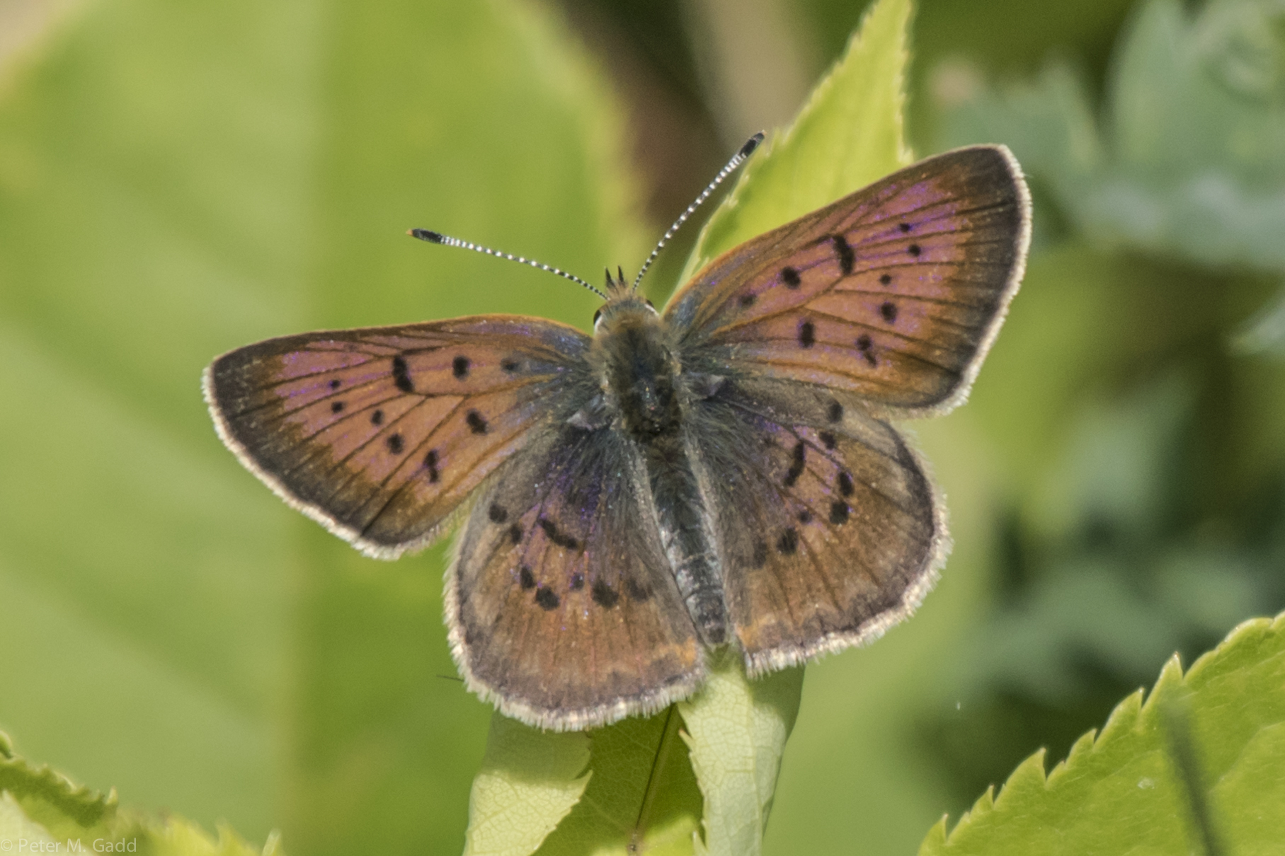
Bronze Copper 20150730 Red-winged Blackbird Trail Baie Verte (19)
20150730 Salt Marsh Copper, Siddall Rd, Baie Verte
DSC_0333 Baie Verte, Nouveau-Brunswick, Canada
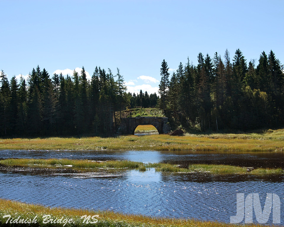
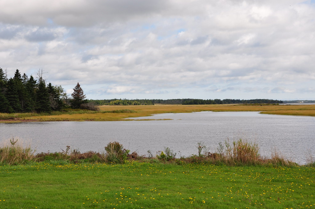
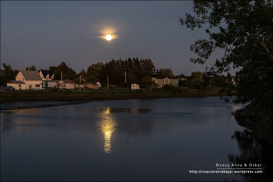
Tidnish Bridge, Nova Scotia
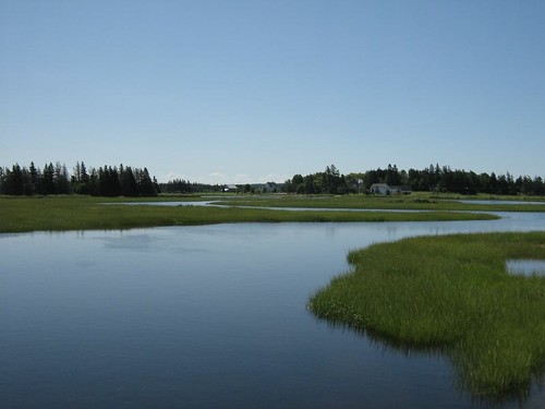
marsh path
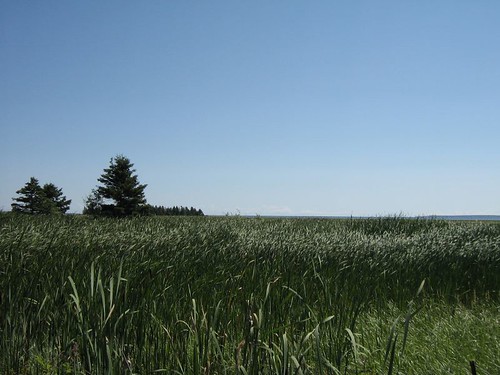
on ne voit jamais le vent
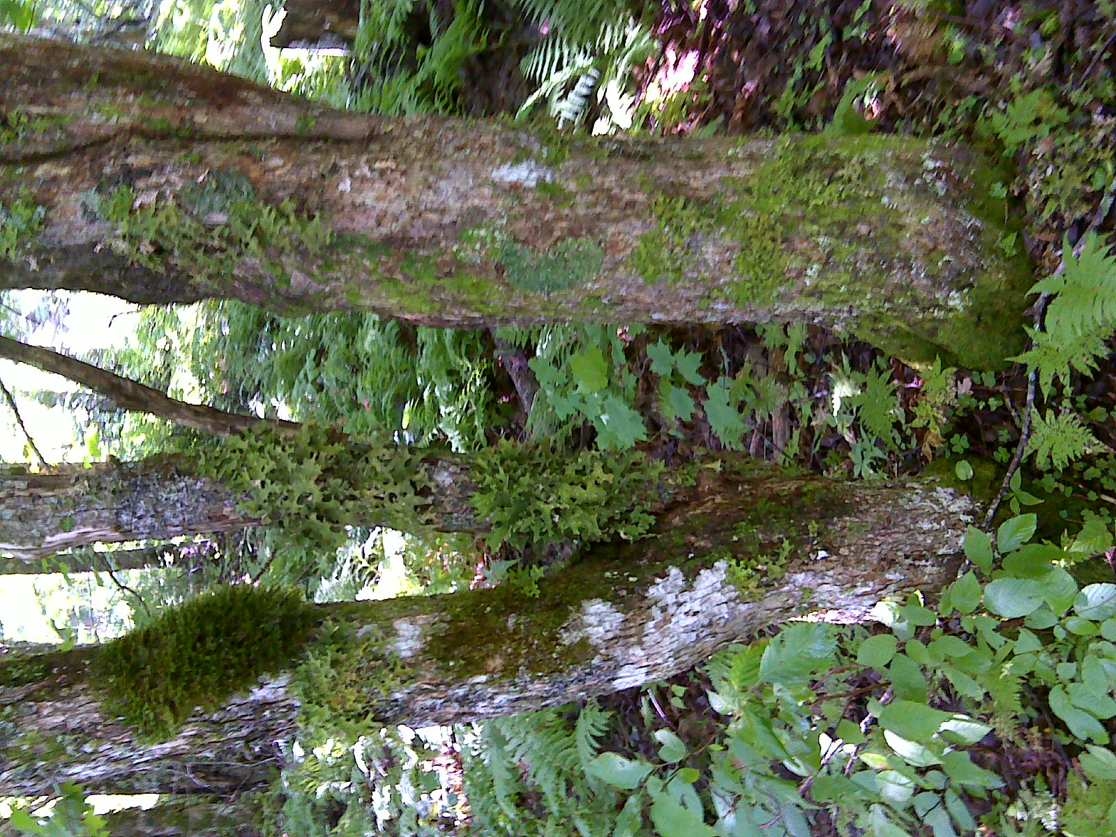
CFI short ecological forestry course
CFI short ecological forestry course
Port Elgin, New Brunswick (Canada)
Topographic Map of Main St, Westmorland, NB E4M, Canada
Find elevation by address:

Places near Main St, Westmorland, NB E4M, Canada:
Baie Verte
2316 Nb-16
1801 Nb-16
Main Street
Westmorland
Port Elgin
6 Station St
815 Nb-970
66 Spruce Dr, Amherst, NS B4H 3X9, Canada
58 Jackson's Point Rd
187 Jackson's Point Rd
37 Tidnish Head Branch, Amherst, NS B4H 3X9, Canada
710 Tidnish Head Rd
53 Jolicure Rd
75 Parson Rd, Jolicure, NB E4L 2R9, Canada
14 Luciphy Rd, Midgic, NB E4L 1W9, Canada
Jolicure
Lake Road
NB-, Sackville, NB E4L 1Y6, Canada
Recent Searches:
- Elevation of Corso Fratelli Cairoli, 35, Macerata MC, Italy
- Elevation of Tallevast Rd, Sarasota, FL, USA
- Elevation of 4th St E, Sonoma, CA, USA
- Elevation of Black Hollow Rd, Pennsdale, PA, USA
- Elevation of Oakland Ave, Williamsport, PA, USA
- Elevation of Pedrógão Grande, Portugal
- Elevation of Klee Dr, Martinsburg, WV, USA
- Elevation of Via Roma, Pieranica CR, Italy
- Elevation of Tavkvetili Mountain, Georgia
- Elevation of Hartfords Bluff Cir, Mt Pleasant, SC, USA