Elevation of Wattsville Dr, Ragland, AL, USA
Location: United States > Alabama > St. Clair County > Ragland >
Longitude: -86.278008
Latitude: 33.679772
Elevation: 174m / 571feet
Barometric Pressure: 0KPa
Related Photos:
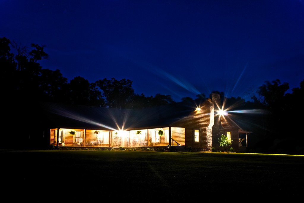
Home Sweet Home
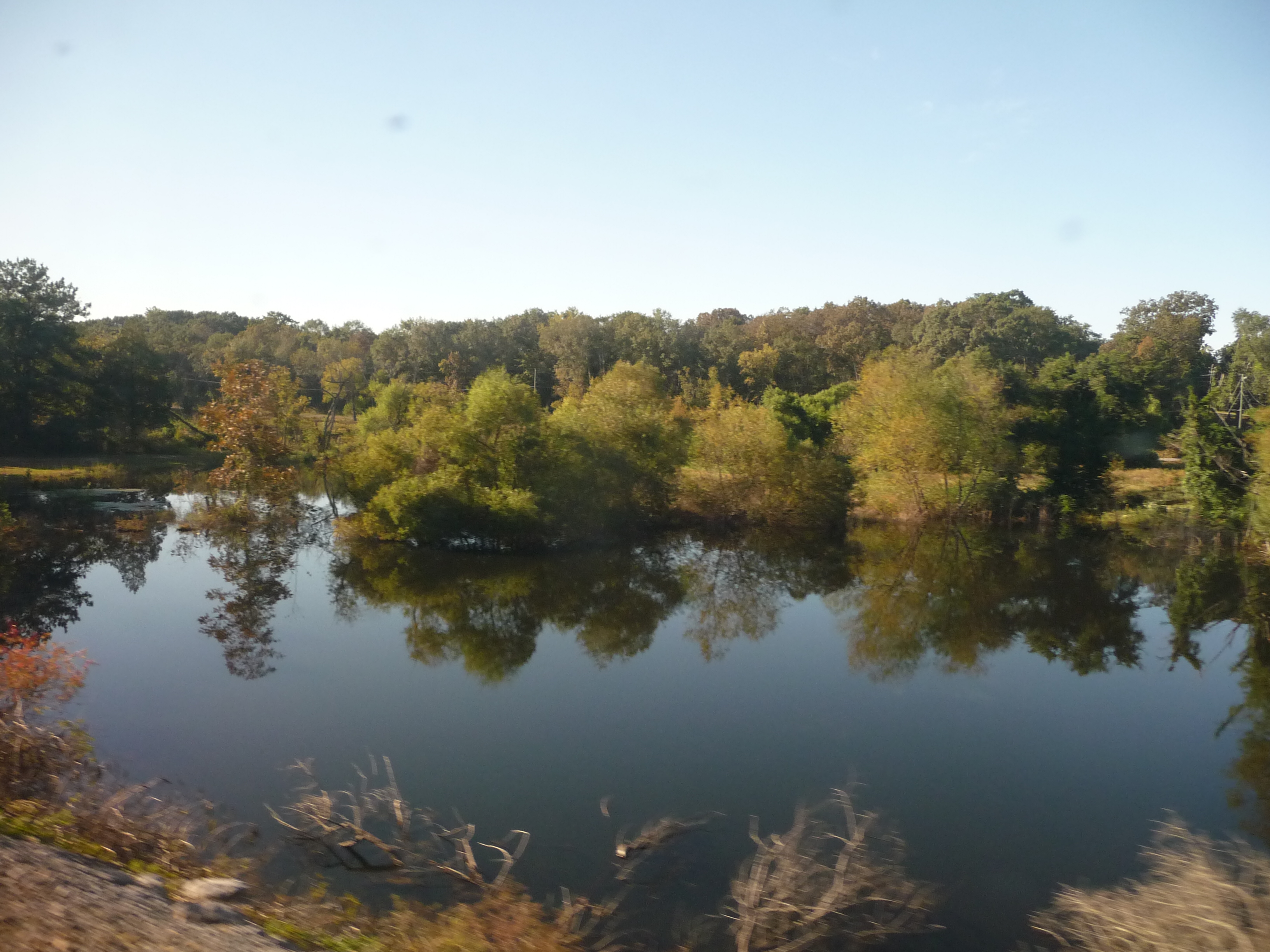
Alabama: Lake Scene

20 minutes of night.
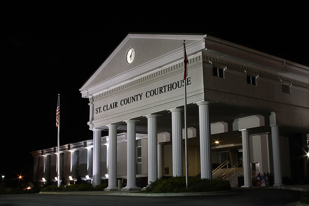
ST CLAIR COURTHOUSE - HDR
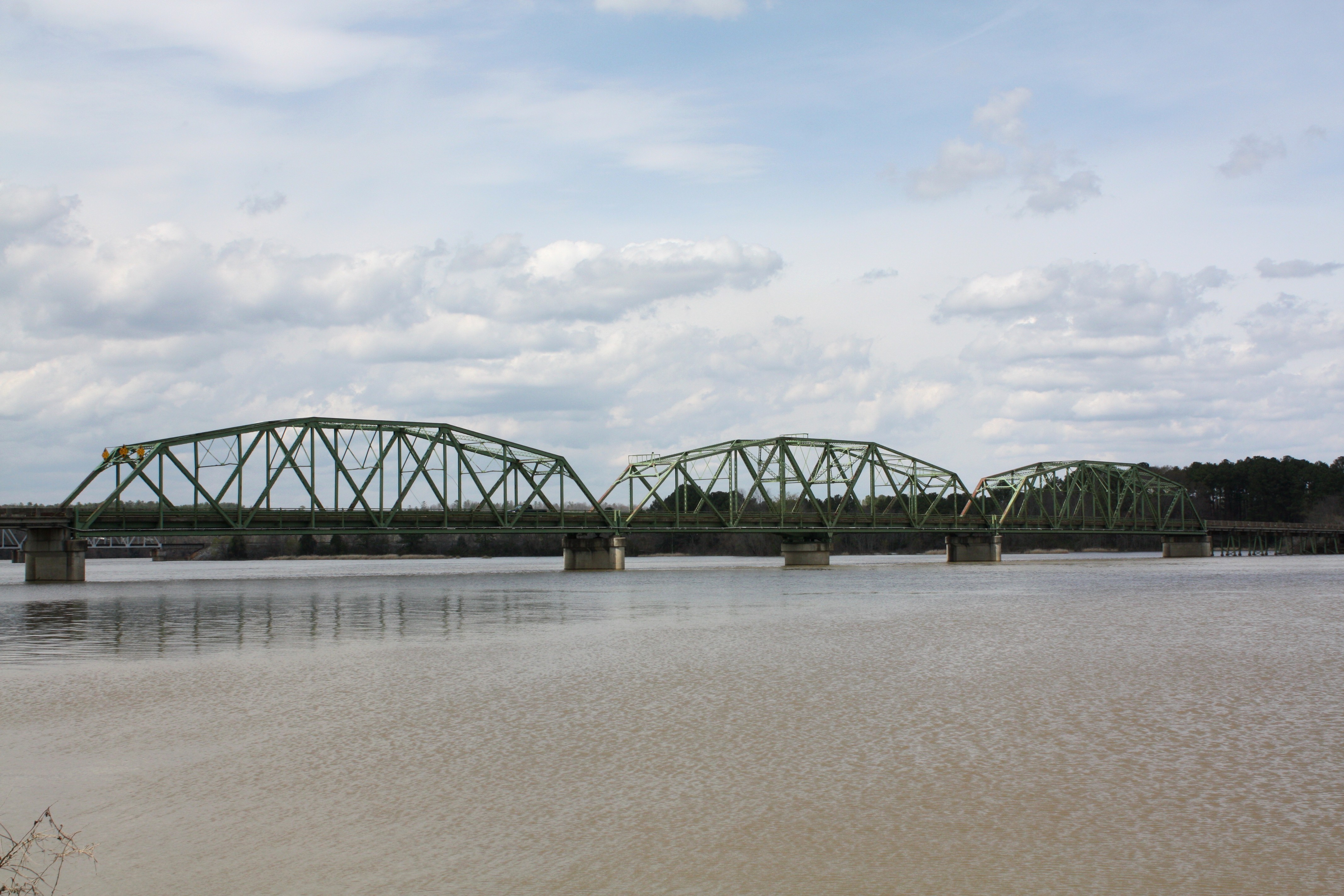
Riverside Bridge

Riverside Bridge

Millcreek Motocross

Millcreek Reconstruction

Regina Ann Photography
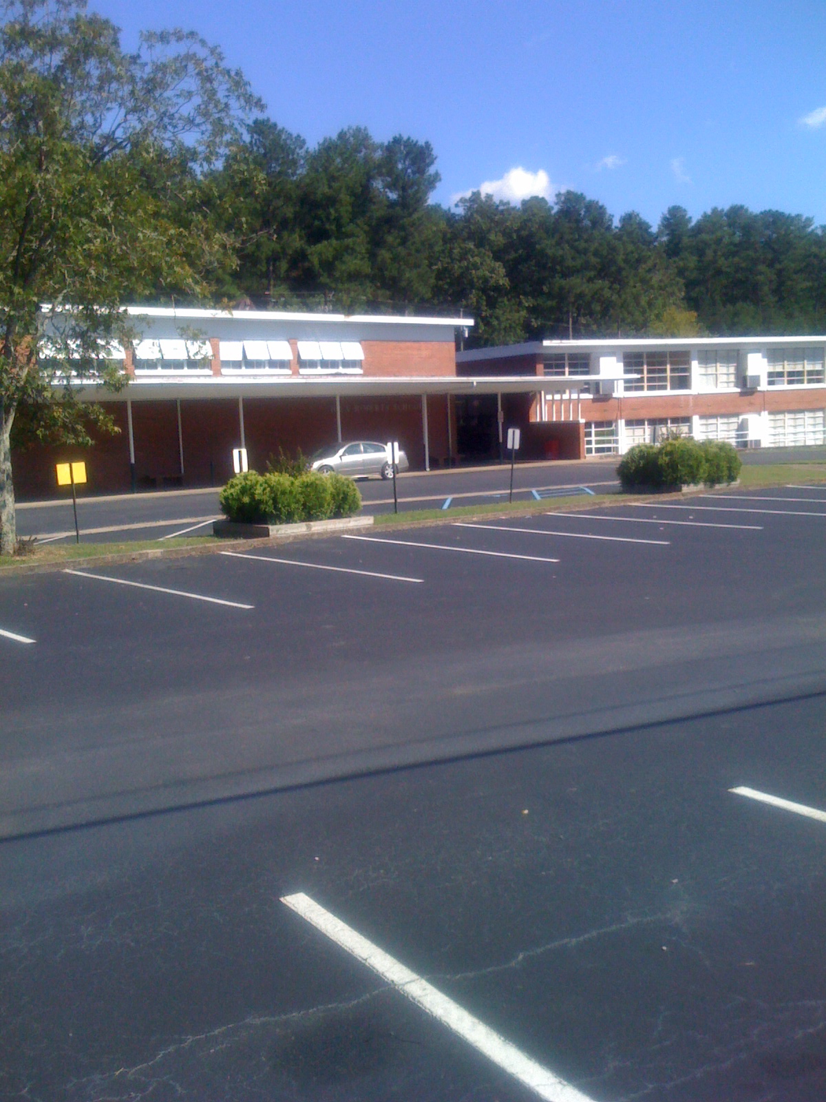
Iola Roberts Elementary School
Topographic Map of Wattsville Dr, Ragland, AL, USA
Find elevation by address:

Places near Wattsville Dr, Ragland, AL, USA:
200 Turkey Ridge Rd
Savage Town Rd, Ragland, AL, USA
625 Pine Rd
625 Pine Rd
625 Pine Rd
Pine Drive
St. Clair County
Deer Trace Lane
Pleasant Valley Dr, Pell City, AL, USA
Mineral Springs Rd, Pell City, AL, USA
1400 Deer Trace Rd
1953 Sprayberry Rd
74 Plaza Dr
8th Ave N, Pell City, AL, USA
33rd St N, Pell City, AL, USA
St. Clair County Extension Office
Pell City
1st Ave S, Pell City, AL, USA
Co Hwy 57, Riverside, AL, USA
Broken Arrow Creek Road
Recent Searches:
- Elevation of Pasing, Munich, Bavaria, 81241, Germany
- Elevation of 24, Auburn Bay Crescent SE, Auburn Bay, Calgary, Alberta, T3M 0A6, Canada
- Elevation of Denver, 2314, Arapahoe Street, Five Points, Denver, Colorado, 80205, USA
- Elevation of Community of the Beatitudes, 2924, West 43rd Avenue, Sunnyside, Denver, Colorado, 80211, USA
- Elevation map of Litang County, Sichuan, China
- Elevation map of Madoi County, Qinghai, China
- Elevation of 3314, Ohio State Route 114, Payne, Paulding County, Ohio, 45880, USA
- Elevation of Sarahills Drive, Saratoga, Santa Clara County, California, 95070, USA
- Elevation of Town of Bombay, Franklin County, New York, USA
- Elevation of 9, Convent Lane, Center Moriches, Suffolk County, New York, 11934, USA
- Elevation of Saint Angelas Convent, 9, Convent Lane, Center Moriches, Suffolk County, New York, 11934, USA
- Elevation of 131st Street Southwest, Mukilteo, Snohomish County, Washington, 98275, USA
- Elevation of 304, Harrison Road, Naples, Cumberland County, Maine, 04055, USA
- Elevation of 2362, Timber Ridge Road, Harrisburg, Cabarrus County, North Carolina, 28075, USA
- Elevation of Ridge Road, Marshalltown, Marshall County, Iowa, 50158, USA
- Elevation of 2459, Misty Shadows Drive, Pigeon Forge, Sevier County, Tennessee, 37862, USA
- Elevation of 8043, Brightwater Way, Spring Hill, Williamson County, Tennessee, 37179, USA
- Elevation of Starkweather Road, San Luis, Costilla County, Colorado, 81152, USA
- Elevation of 5277, Woodside Drive, Baton Rouge, East Baton Rouge Parish, Louisiana, 70808, USA
- Elevation of 1139, Curtin Street, Shepherd Park Plaza, Houston, Harris County, Texas, 77018, USA