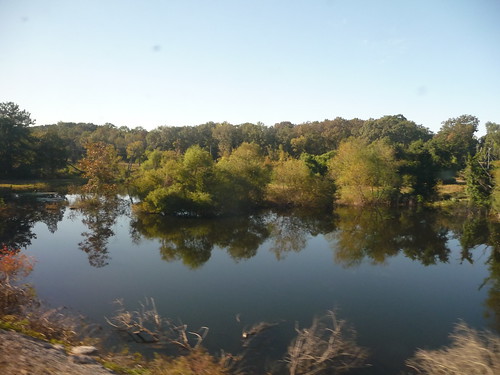
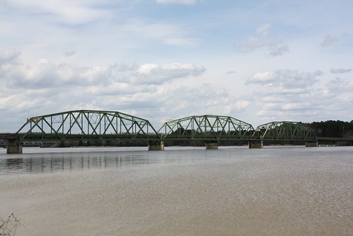
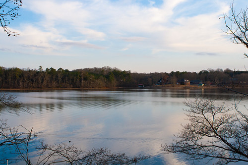
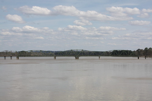
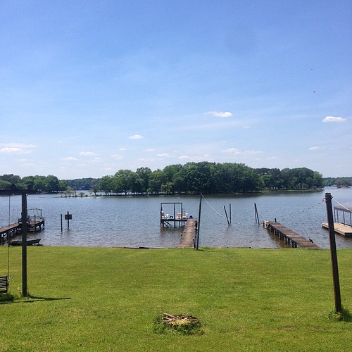
Elevation of Pleasant Valley Dr, Pell City, AL, USA
Location: United States > Alabama > St. Clair County > Pell City >
Longitude: -86.254014
Latitude: 33.612881
Elevation: 168m / 551feet
Barometric Pressure: 99KPa
Related Photos:
Topographic Map of Pleasant Valley Dr, Pell City, AL, USA
Find elevation by address:

Places near Pleasant Valley Dr, Pell City, AL, USA:
Pine Drive
1953 Sprayberry Rd
33rd St N, Pell City, AL, USA
74 Plaza Dr
8th Ave N, Pell City, AL, USA
Deer Trace Lane
1400 Deer Trace Rd
Pell City
St. Clair County Extension Office
Savage Town Rd, Ragland, AL, USA
Co Hwy 57, Riverside, AL, USA
Riverside
1st Ave S, Pell City, AL, USA
625 Pine Rd
625 Pine Rd
625 Pine Rd
Mineral Springs Rd, Pell City, AL, USA
Wattsville Dr, Ragland, AL, USA
England Rd, Lincoln, AL, USA
Broken Arrow Creek Road
Recent Searches:
- Elevation of Corso Fratelli Cairoli, 35, Macerata MC, Italy
- Elevation of Tallevast Rd, Sarasota, FL, USA
- Elevation of 4th St E, Sonoma, CA, USA
- Elevation of Black Hollow Rd, Pennsdale, PA, USA
- Elevation of Oakland Ave, Williamsport, PA, USA
- Elevation of Pedrógão Grande, Portugal
- Elevation of Klee Dr, Martinsburg, WV, USA
- Elevation of Via Roma, Pieranica CR, Italy
- Elevation of Tavkvetili Mountain, Georgia
- Elevation of Hartfords Bluff Cir, Mt Pleasant, SC, USA
