Elevation of 33rd St N, Pell City, AL, USA
Location: United States > Alabama > St. Clair County > Pell City >
Longitude: -86.268749
Latitude: 33.594054
Elevation: 171m / 561feet
Barometric Pressure: 0KPa
Related Photos:
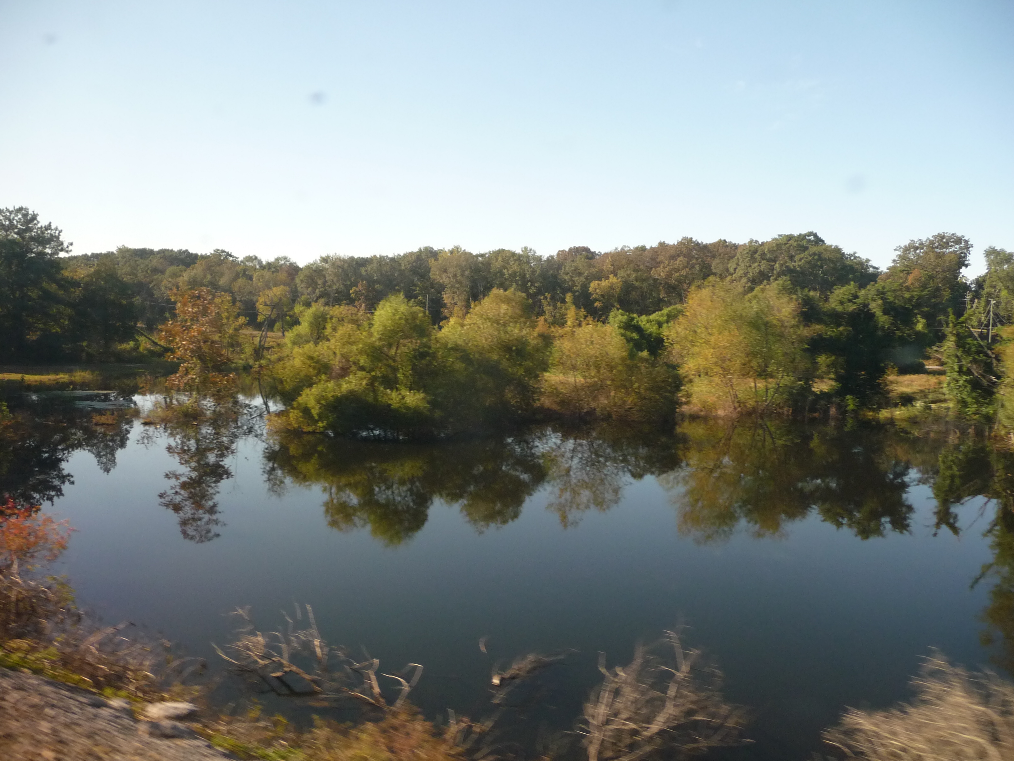
Alabama: Lake Scene
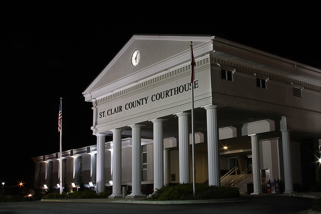
ST CLAIR COURTHOUSE - HDR

Talladega Sunset
Picture 012

Millcreek Motocross
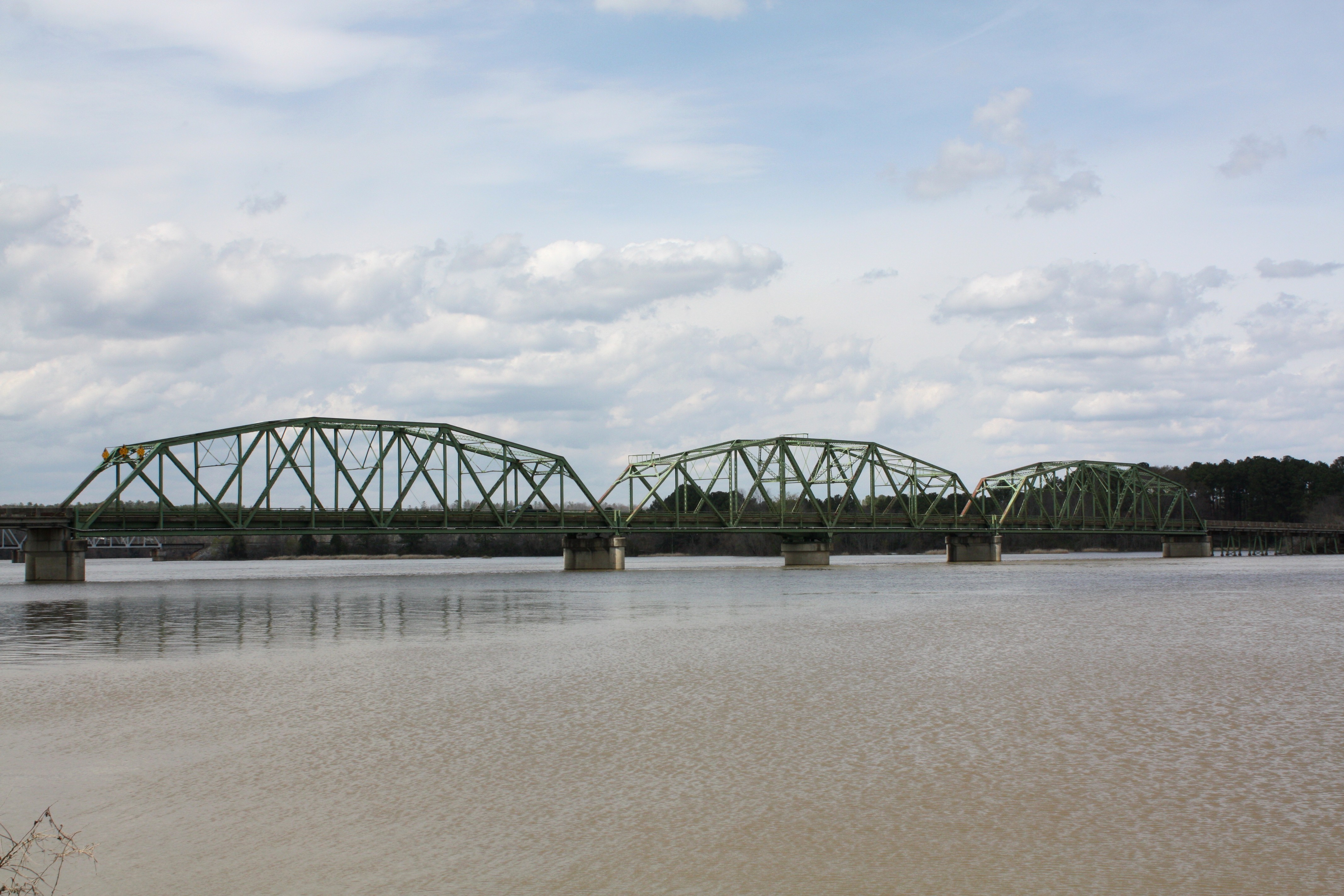
Riverside Bridge

Millcreek Reconstruction

Lake on Sunday Evening

Riverside Bridge

Good Morning!
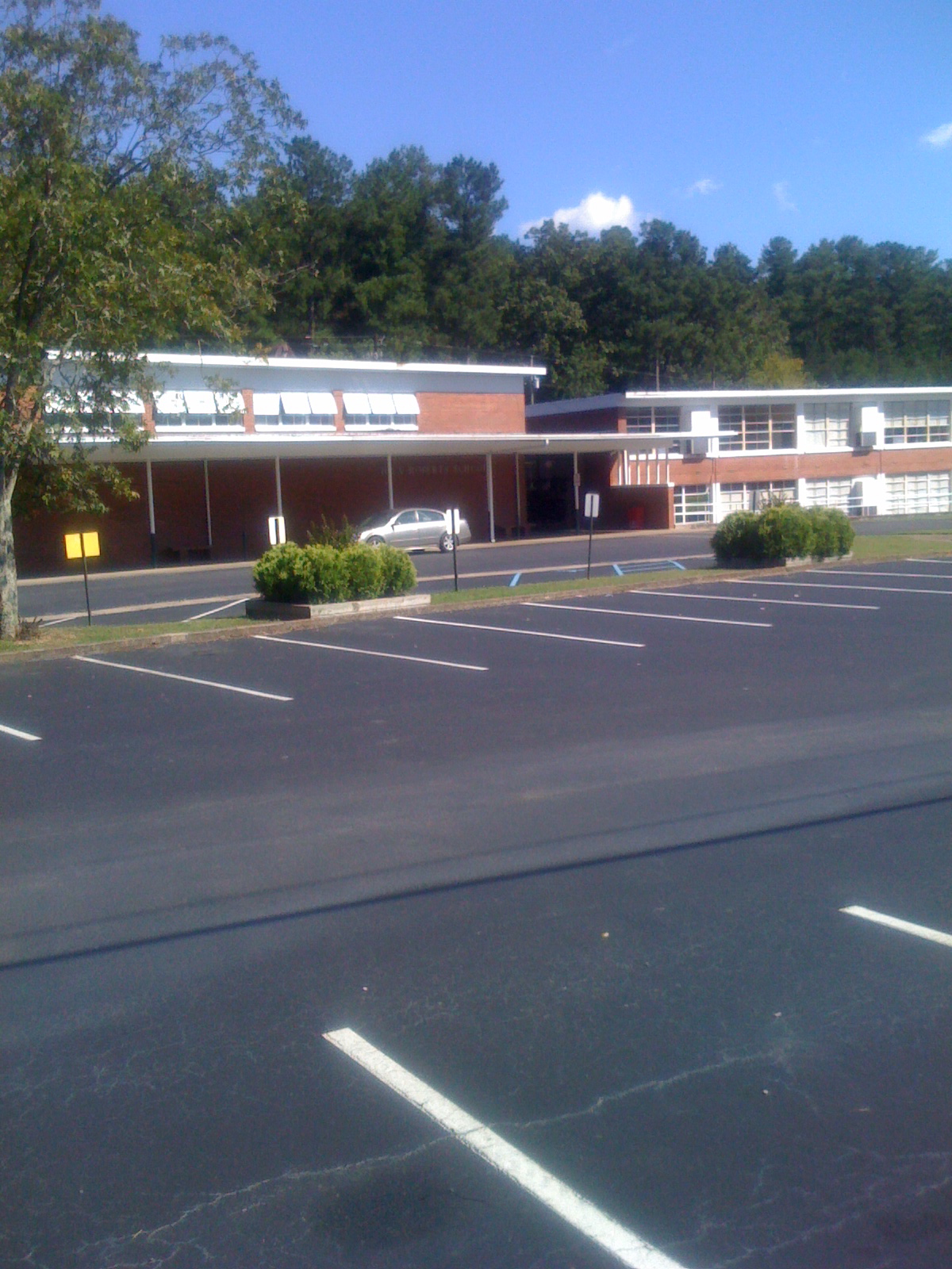
Iola Roberts Elementary School
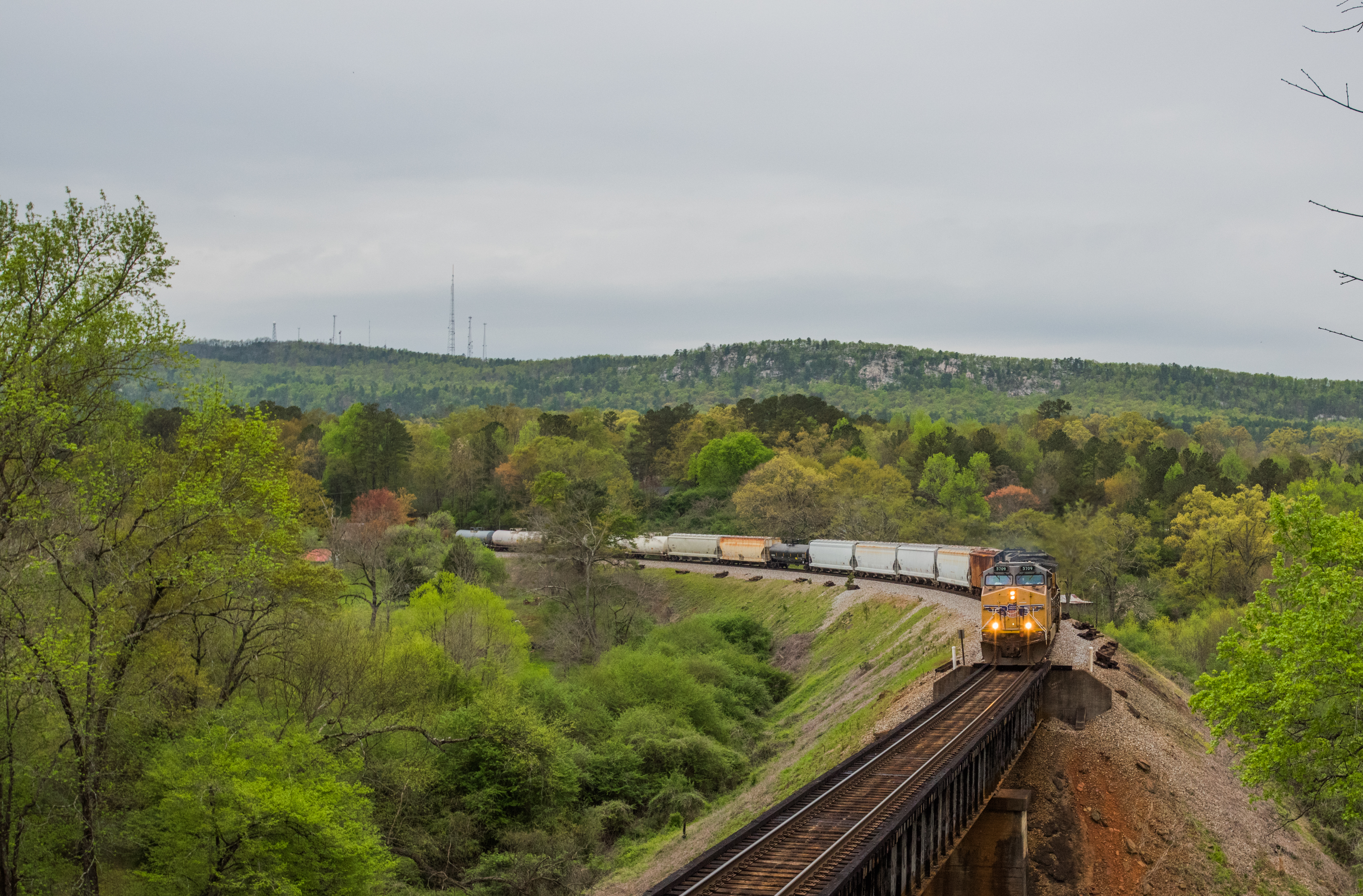
NS 172 Cook Springs Alabama
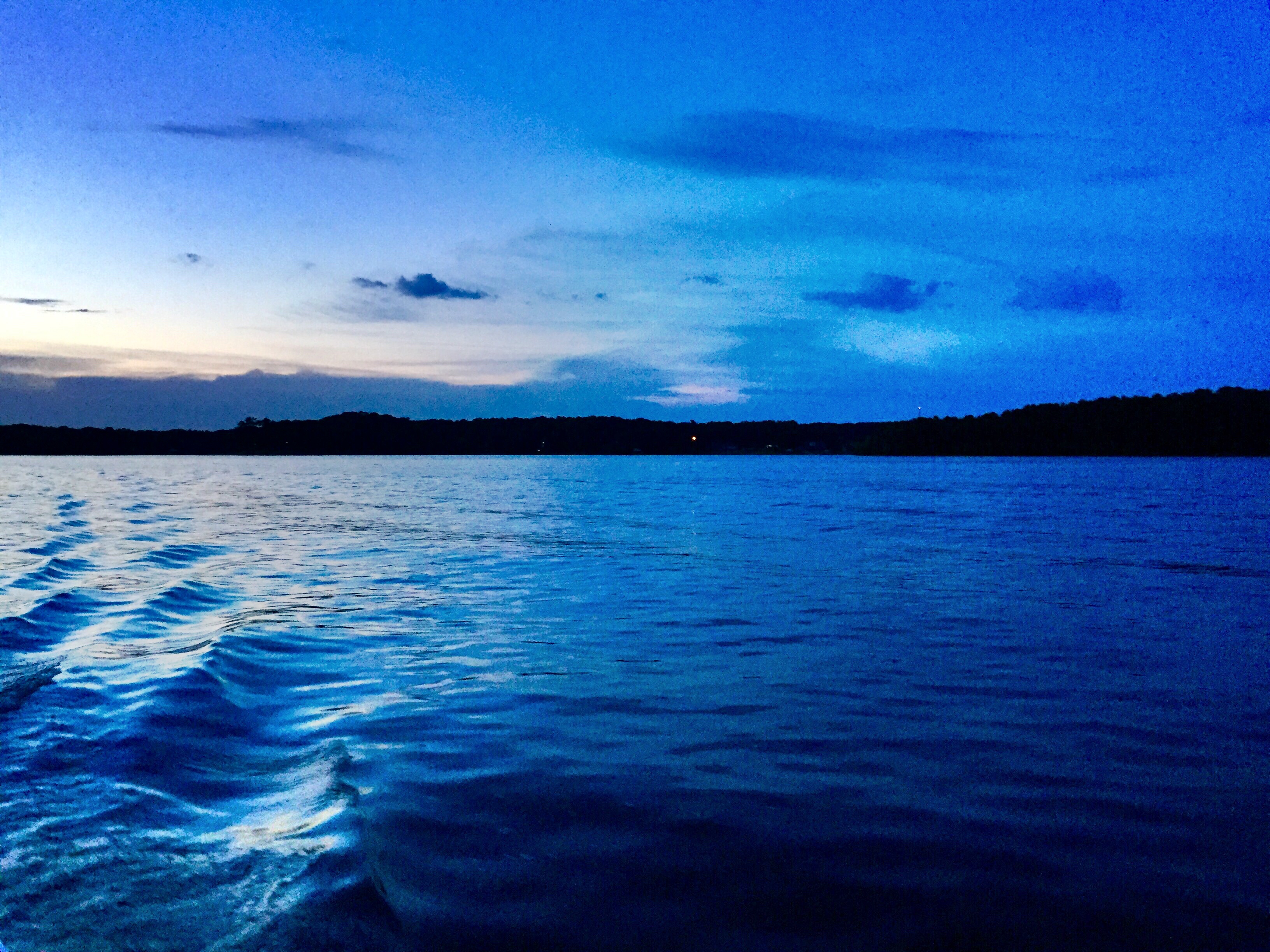
Evening Tide
Topographic Map of 33rd St N, Pell City, AL, USA
Find elevation by address:

Places near 33rd St N, Pell City, AL, USA:
8th Ave N, Pell City, AL, USA
Pell City
St. Clair County Extension Office
74 Plaza Dr
Pleasant Valley Dr, Pell City, AL, USA
1953 Sprayberry Rd
1st Ave S, Pell City, AL, USA
Pine Drive
Mineral Springs Rd, Pell City, AL, USA
1400 Deer Trace Rd
Deer Trace Lane
Riverside
Co Hwy 57, Riverside, AL, USA
625 Pine Rd
625 Pine Rd
625 Pine Rd
Savage Town Rd, Ragland, AL, USA
England Rd, Lincoln, AL, USA
Wattsville Dr, Ragland, AL, USA
St. Clair County
Recent Searches:
- Elevation map of Greenland, Greenland
- Elevation of Sullivan Hill, New York, New York, 10002, USA
- Elevation of Morehead Road, Withrow Downs, Charlotte, Mecklenburg County, North Carolina, 28262, USA
- Elevation of 2800, Morehead Road, Withrow Downs, Charlotte, Mecklenburg County, North Carolina, 28262, USA
- Elevation of Yangbi Yi Autonomous County, Yunnan, China
- Elevation of Pingpo, Yangbi Yi Autonomous County, Yunnan, China
- Elevation of Mount Malong, Pingpo, Yangbi Yi Autonomous County, Yunnan, China
- Elevation map of Yongping County, Yunnan, China
- Elevation of North 8th Street, Palatka, Putnam County, Florida, 32177, USA
- Elevation of 107, Big Apple Road, East Palatka, Putnam County, Florida, 32131, USA
- Elevation of Jiezi, Chongzhou City, Sichuan, China
- Elevation of Chongzhou City, Sichuan, China
- Elevation of Huaiyuan, Chongzhou City, Sichuan, China
- Elevation of Qingxia, Chengdu, Sichuan, China
- Elevation of Corso Fratelli Cairoli, 35, Macerata MC, Italy
- Elevation of Tallevast Rd, Sarasota, FL, USA
- Elevation of 4th St E, Sonoma, CA, USA
- Elevation of Black Hollow Rd, Pennsdale, PA, USA
- Elevation of Oakland Ave, Williamsport, PA, USA
- Elevation of Pedrógão Grande, Portugal