Elevation of Mineral Springs Rd, Pell City, AL, USA
Location: United States > Alabama > St. Clair County > Pell City >
Longitude: -86.315922
Latitude: 33.618664
Elevation: 172m / 564feet
Barometric Pressure: 99KPa
Elevation Map:
Satellite Map:
Related Photos:
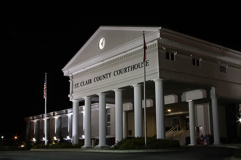
ST CLAIR COURTHOUSE - HDR
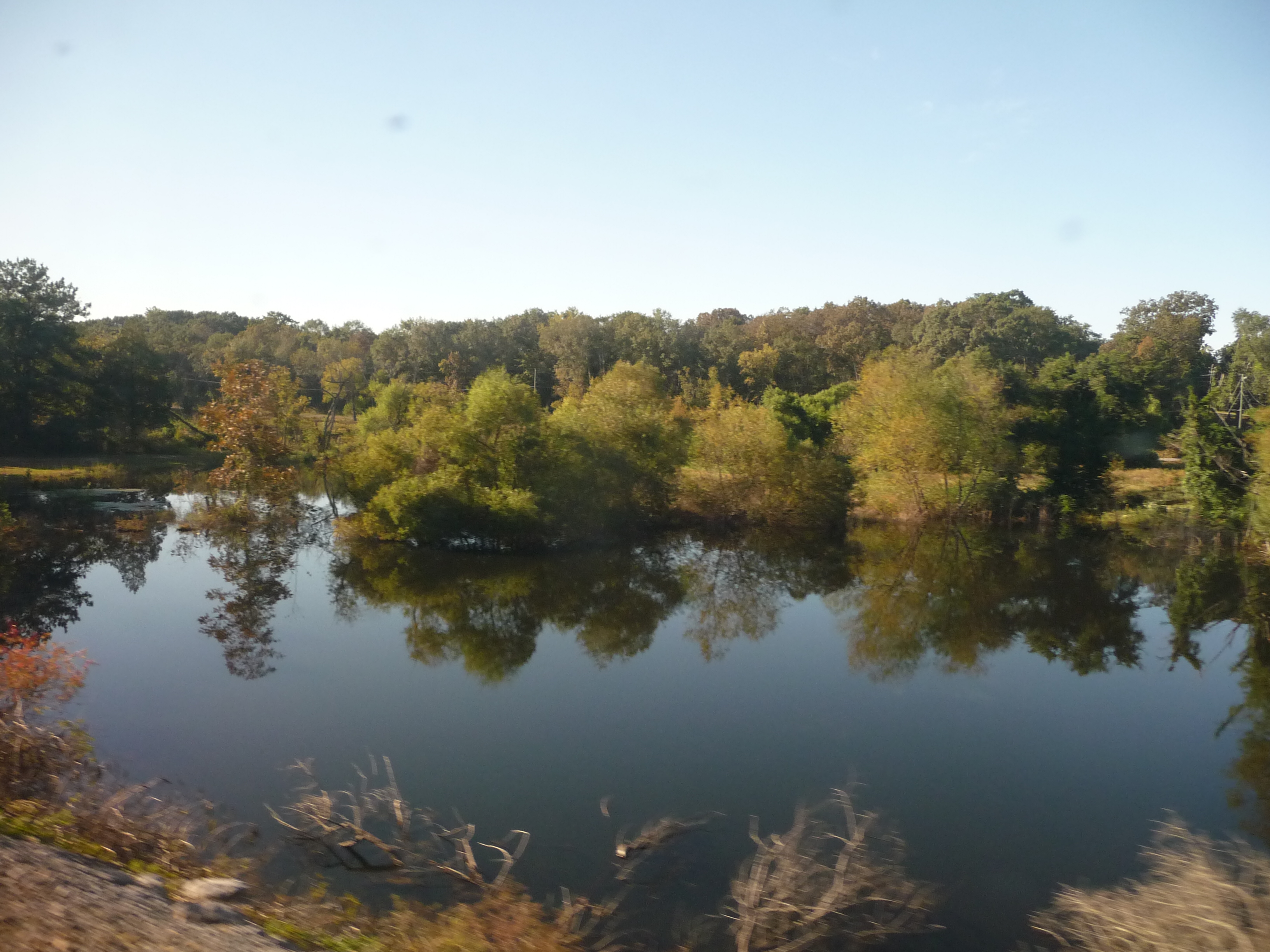
Alabama: Lake Scene
Cub Haunted

Talladega Sunset
Picture 012

Millcreek Motocross

Millcreek Reconstruction
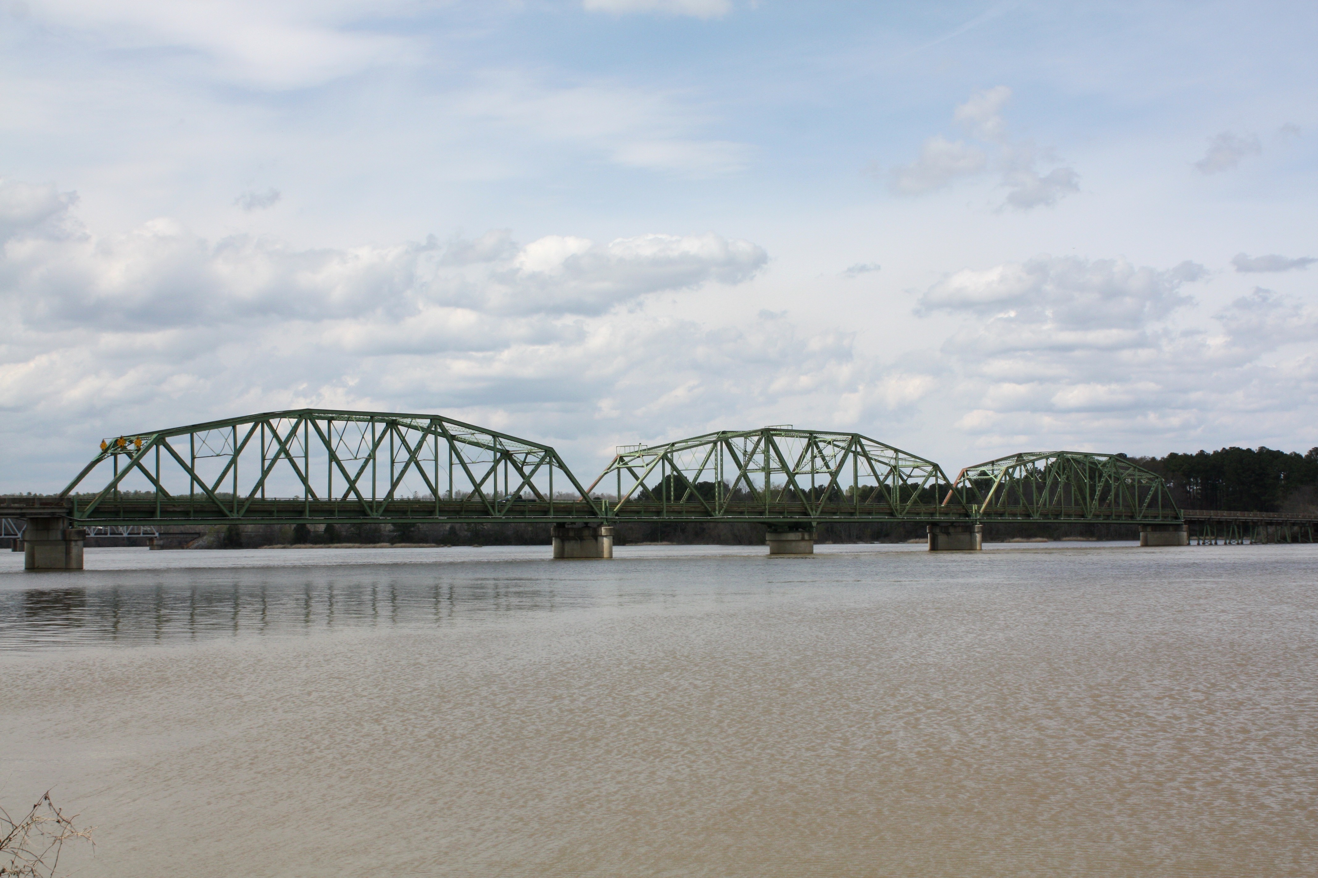
Riverside Bridge

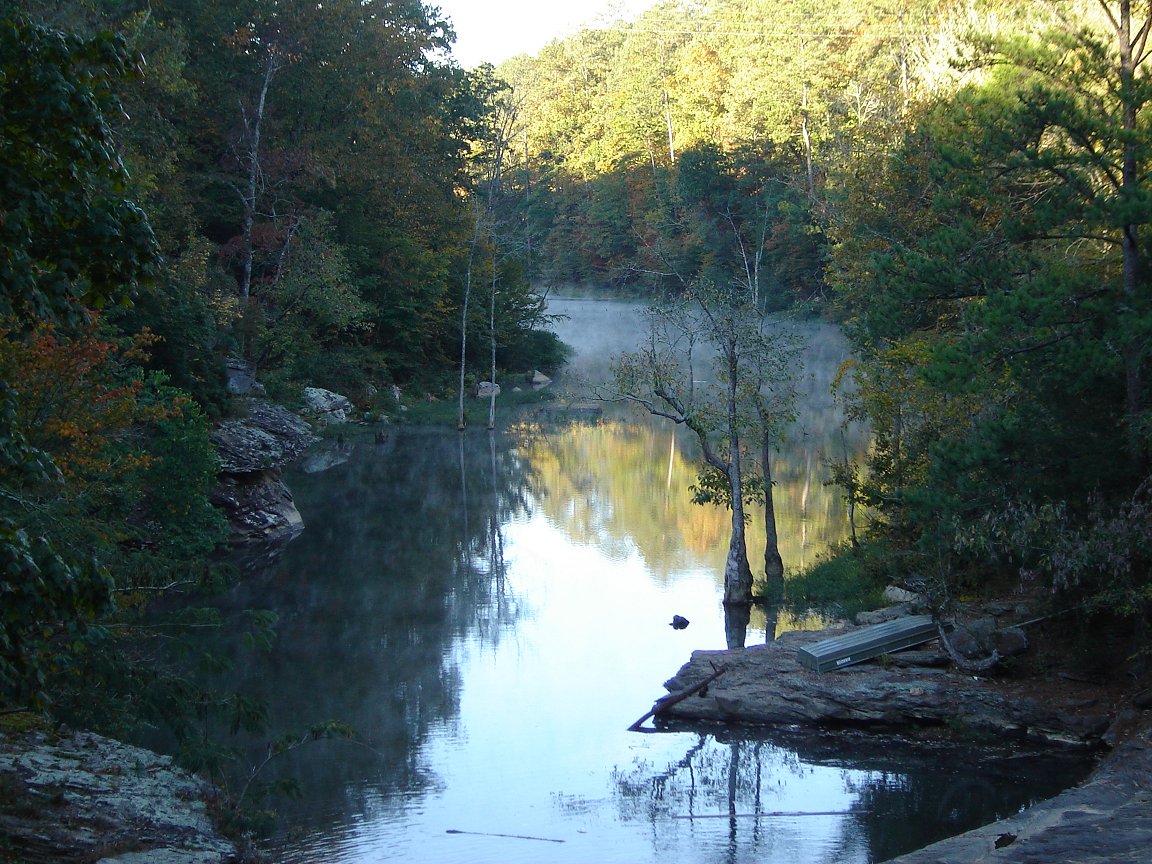
Lake on Sunday Evening

Riverside Bridge
Skyway Loop Trail

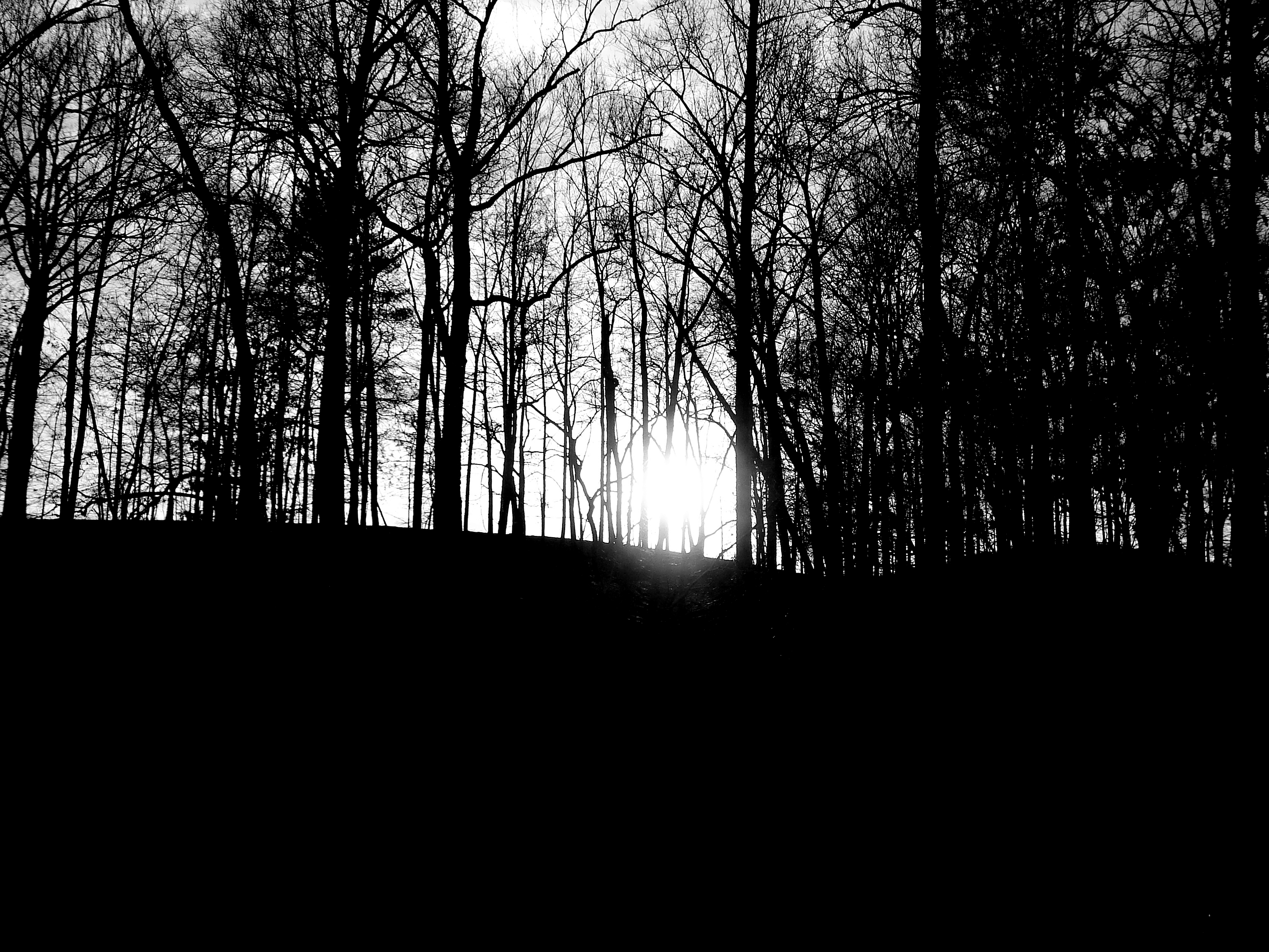
Good Morning!
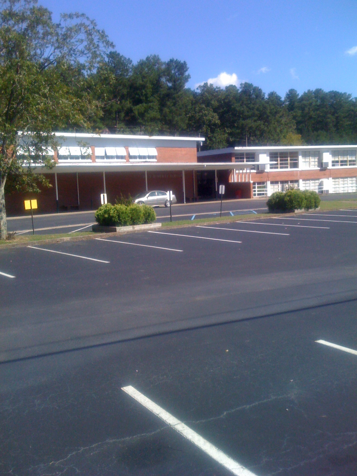
Iola Roberts Elementary School
Topographic Map of Mineral Springs Rd, Pell City, AL, USA
Find elevation by address:

Places near Mineral Springs Rd, Pell City, AL, USA:
74 Plaza Dr
8th Ave N, Pell City, AL, USA
1st Ave S, Pell City, AL, USA
625 Pine Rd
625 Pine Rd
625 Pine Rd
St. Clair County
St. Clair County Extension Office
Pell City
215 Chula Vista Mountain Rd
33rd St N, Pell City, AL, USA
70 Mountain Olive Dr, Pell City, AL, USA
Pine Drive
Pleasant Valley Dr, Pell City, AL, USA
Savage Town Rd, Ragland, AL, USA
1953 Sprayberry Rd
Wattsville Dr, Ragland, AL, USA
US-78, Pell City, AL, USA
200 Turkey Ridge Rd
Deer Trace Lane
Recent Searches:
- Elevation of Corso Fratelli Cairoli, 35, Macerata MC, Italy
- Elevation of Tallevast Rd, Sarasota, FL, USA
- Elevation of 4th St E, Sonoma, CA, USA
- Elevation of Black Hollow Rd, Pennsdale, PA, USA
- Elevation of Oakland Ave, Williamsport, PA, USA
- Elevation of Pedrógão Grande, Portugal
- Elevation of Klee Dr, Martinsburg, WV, USA
- Elevation of Via Roma, Pieranica CR, Italy
- Elevation of Tavkvetili Mountain, Georgia
- Elevation of Hartfords Bluff Cir, Mt Pleasant, SC, USA