Elevation of Water Creek Township, AR, USA
Location: United States > Arkansas > Marion County >
Longitude: -92.668573
Latitude: 36.1575001
Elevation: 285m / 935feet
Barometric Pressure: 98KPa
Elevation Map:
Satellite Map:
Related Photos:
Rushin' around

Buffalo Bluff

Buffalo River - Tony Bend
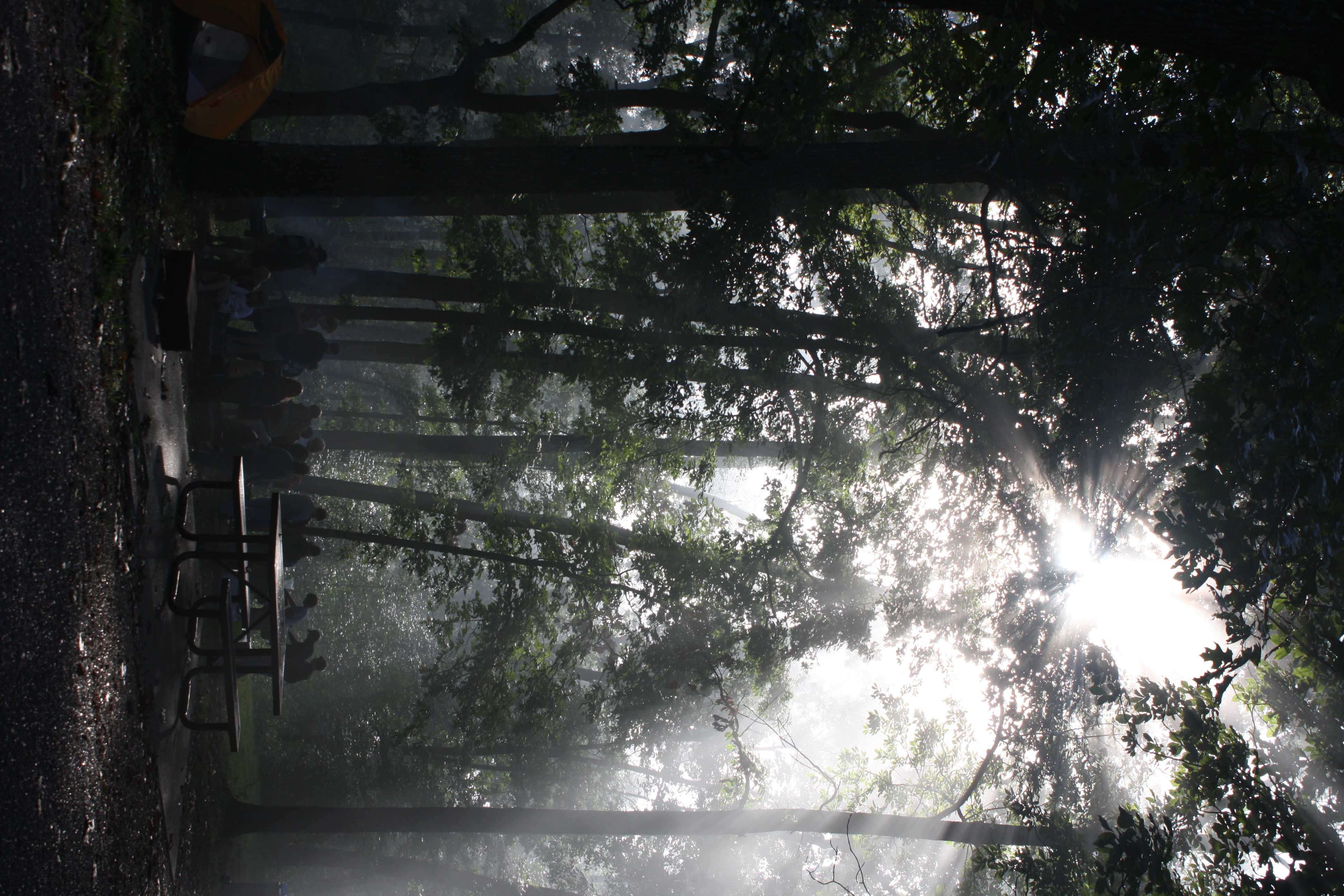
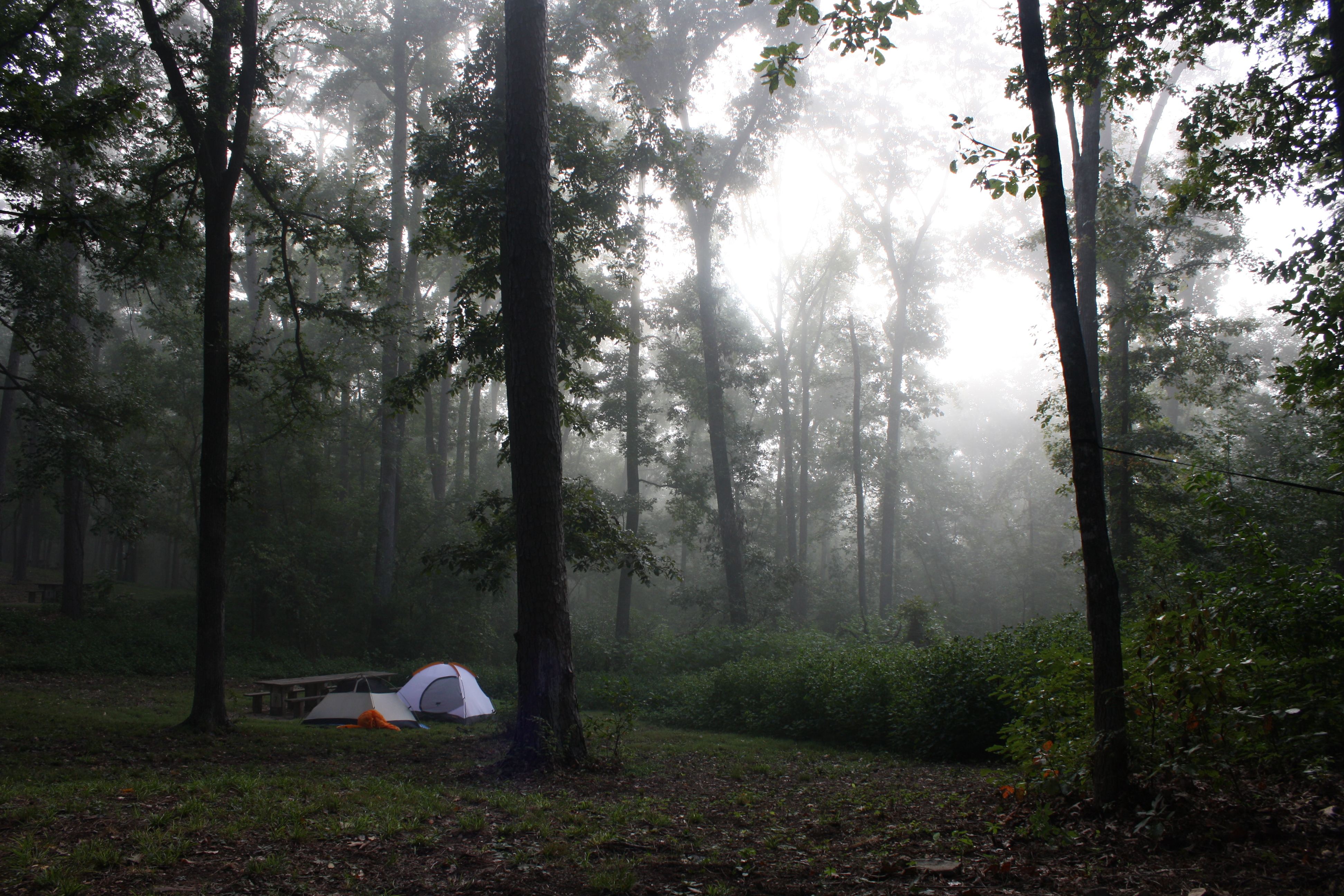
The sun's rays push through the branches
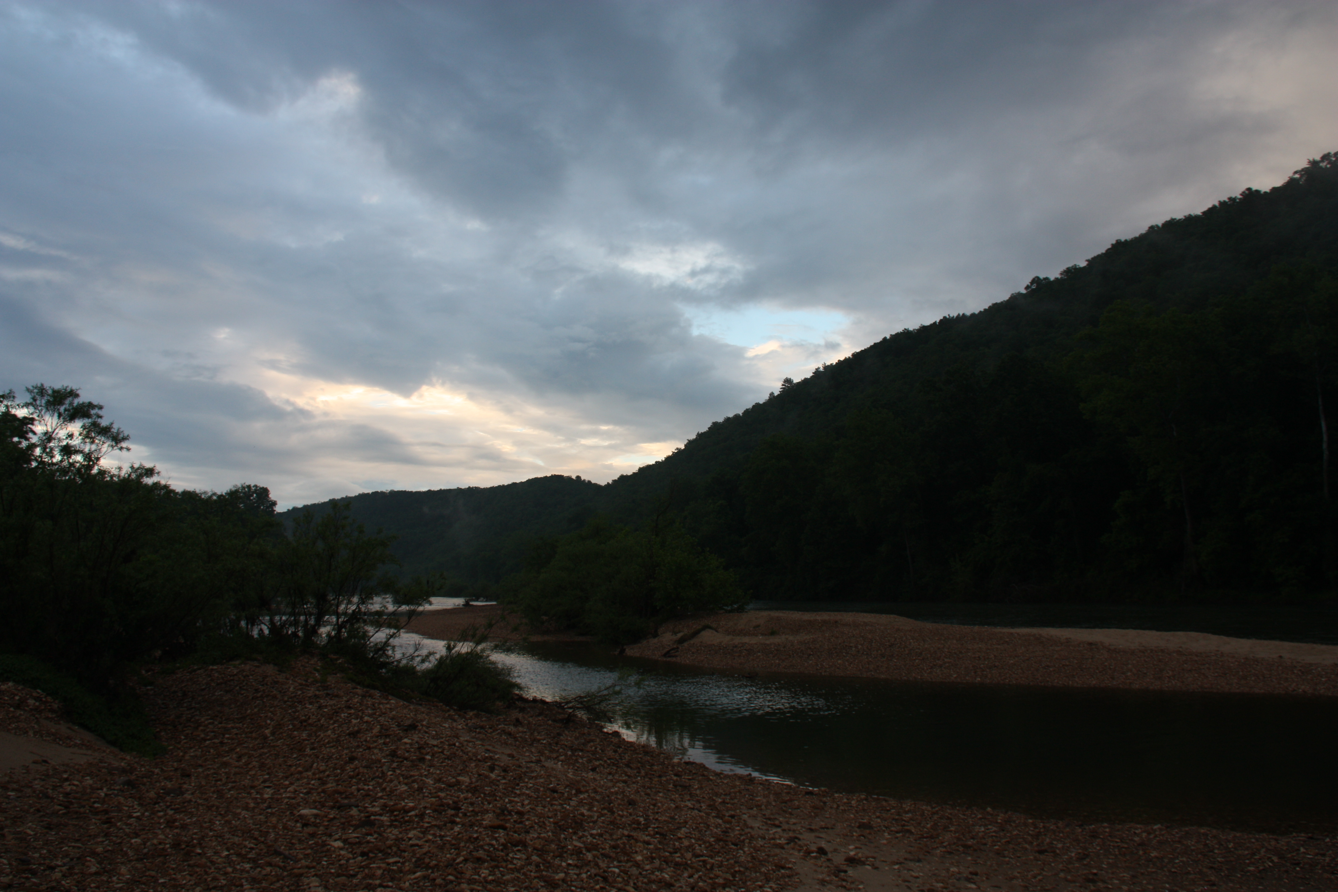
Buffalo River Float - May 2009
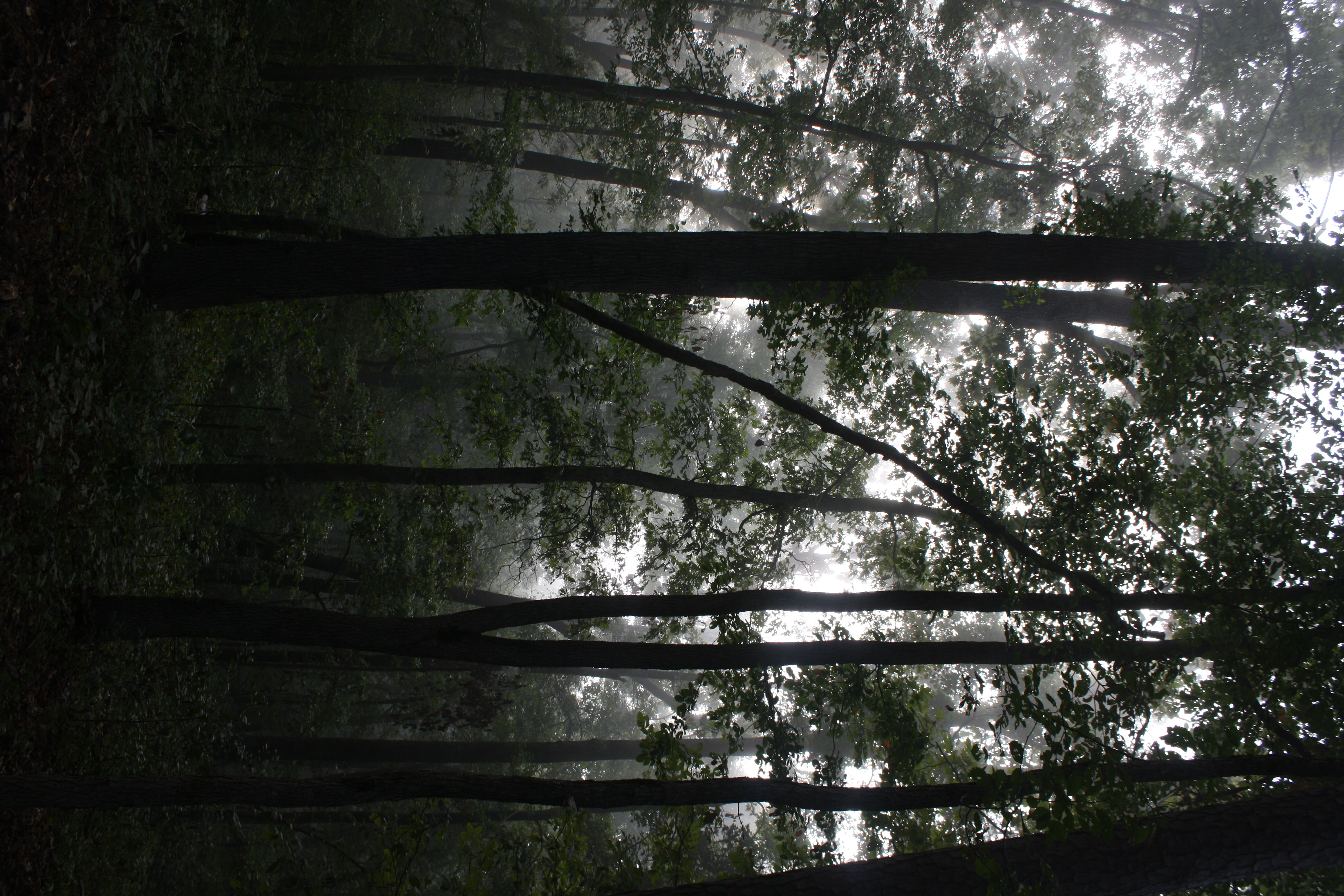
Fog and trees mix near the Buffalo National River
Time to wake up
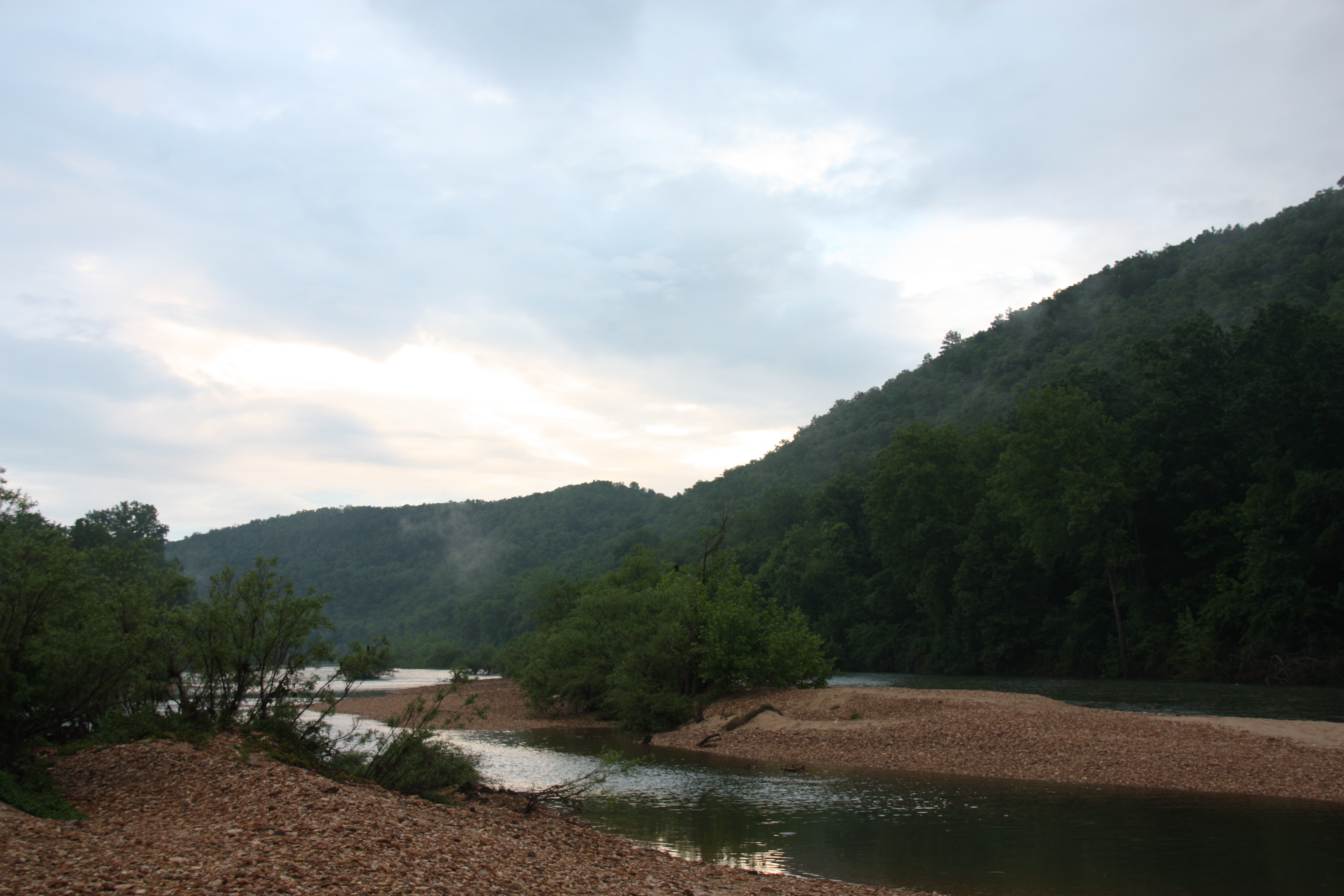
Buffalo River Float - May 2009
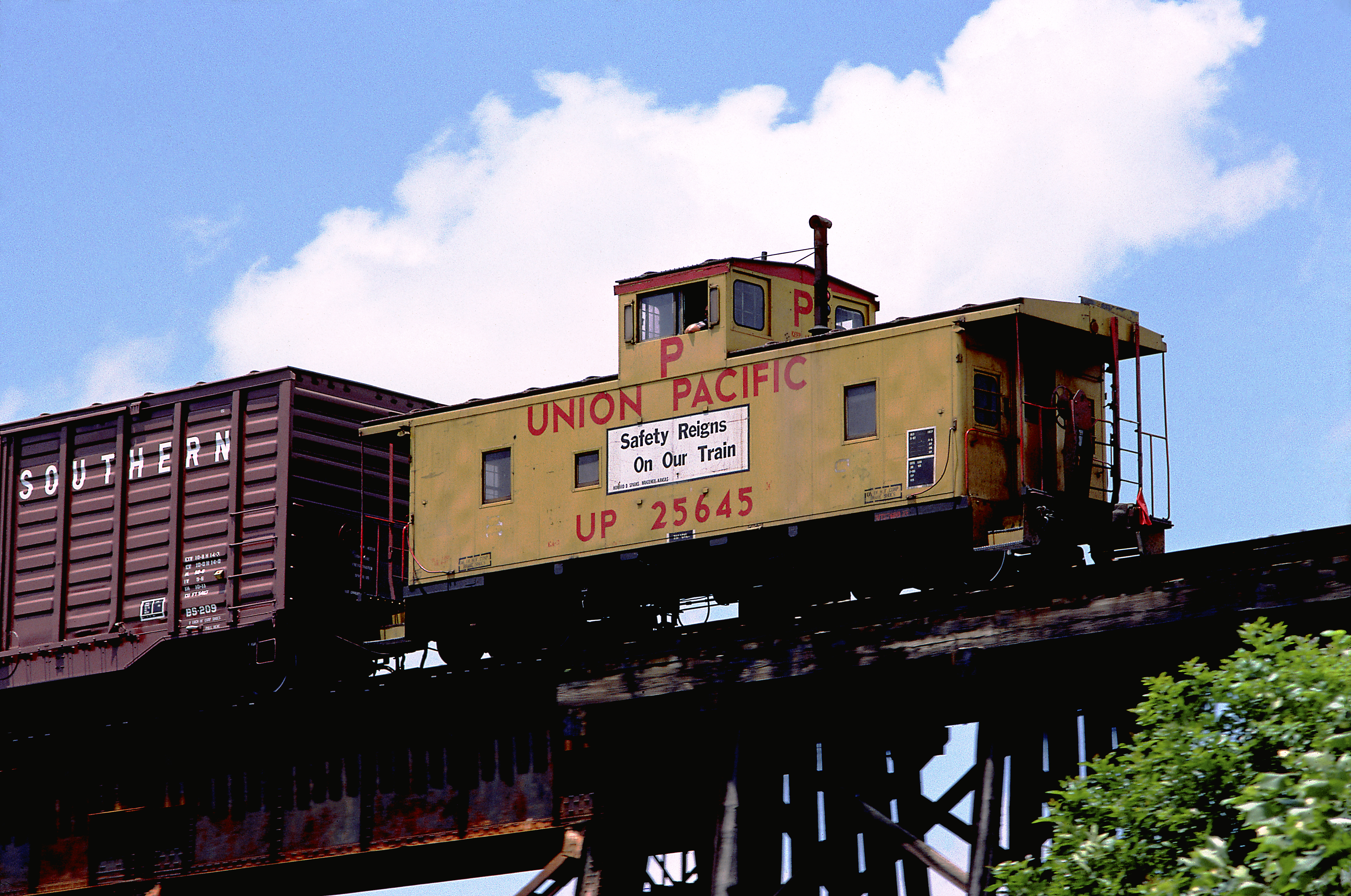
UP Caboose Class CA-9 25645
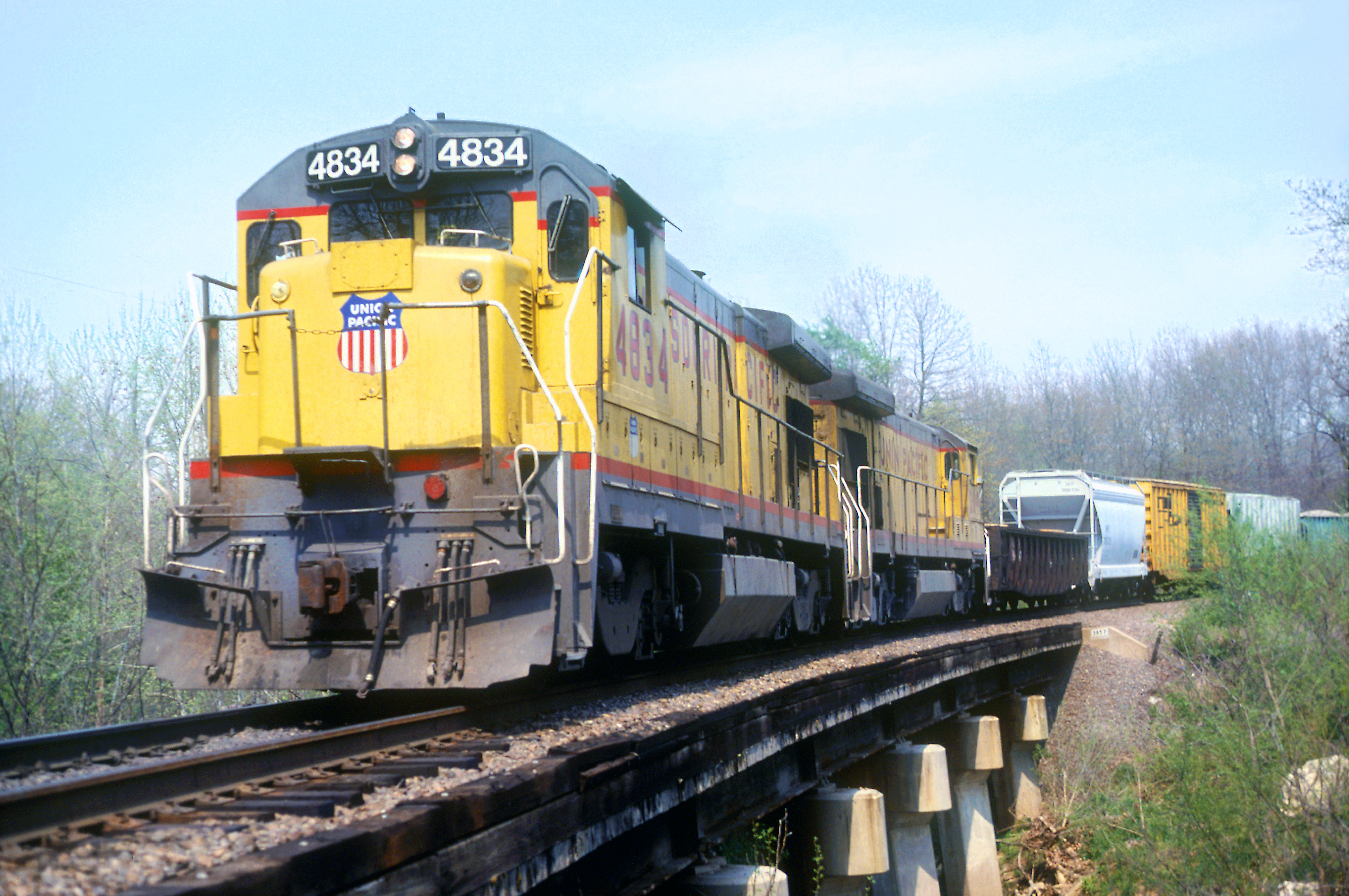
MP B30-7A 4834
ABOX 52054
MP Caboose 13035
Amtrak F40PHR 290
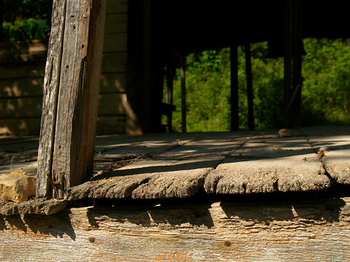
Rush Historic District
Rush Historic District
Rush Historic District
Rush Historic District
Rush Historic District
Rush Historic District
Topographic Map of Water Creek Township, AR, USA
Find elevation by address:

Places near Water Creek Township, AR, USA:
105 Charda Ct
Wandas Mountain Drive
153 Autumn Leaf Ln
Union Township
Yellville
Highway 14 West
778 Cozy Ln
680 Cozy Ln
Rush
De Soto Township
1044 Cozy Ln
298 Carpenters Trail
24 Roundrock Ln
Mud Hollow Lane
2027 Mc 3057
Tomahawk Township
North Joe Burleson Township
Flippin
White River Township
Yokum Trail
Recent Searches:
- Elevation of Corso Fratelli Cairoli, 35, Macerata MC, Italy
- Elevation of Tallevast Rd, Sarasota, FL, USA
- Elevation of 4th St E, Sonoma, CA, USA
- Elevation of Black Hollow Rd, Pennsdale, PA, USA
- Elevation of Oakland Ave, Williamsport, PA, USA
- Elevation of Pedrógão Grande, Portugal
- Elevation of Klee Dr, Martinsburg, WV, USA
- Elevation of Via Roma, Pieranica CR, Italy
- Elevation of Tavkvetili Mountain, Georgia
- Elevation of Hartfords Bluff Cir, Mt Pleasant, SC, USA