Elevation of Union Township, AR, USA
Location: United States > Arkansas > Marion County >
Longitude: -92.678509
Latitude: 36.2115295
Elevation: 197m / 646feet
Barometric Pressure: 99KPa
Elevation Map:
Satellite Map:
Related Photos:
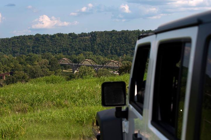
The View
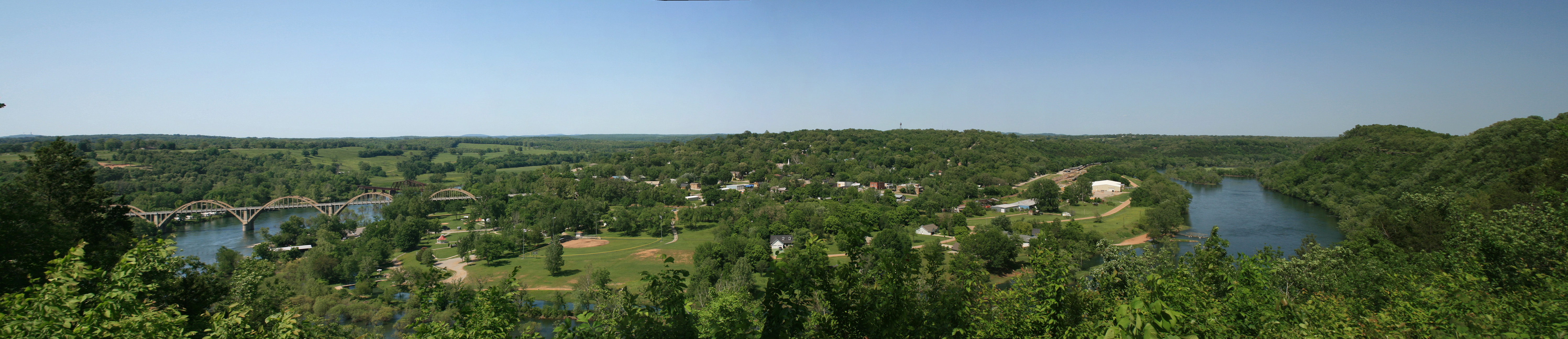
Atop the bluff over Cotter AR
Gotter AR Highway Bridge 10/95
Rushin' around

White River, AR

Sunset 001
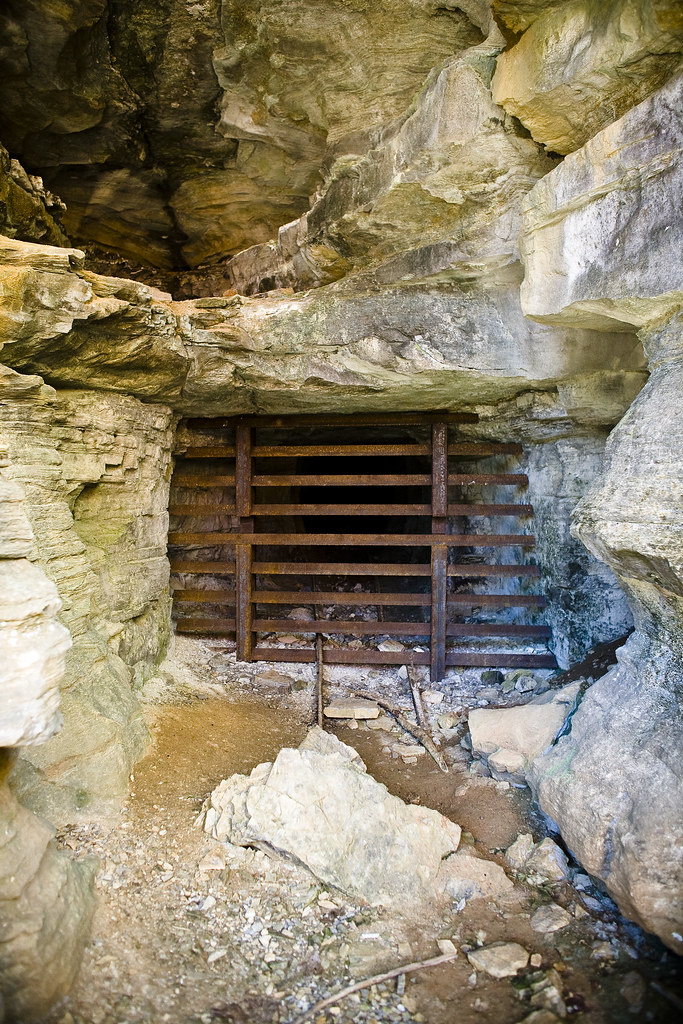
Abandoned Mine @ Rush.
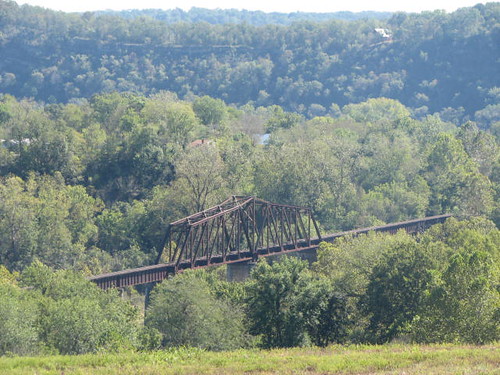
Cotter Railroad Bridge
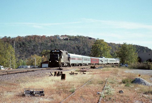
Short Lived White River Railway

PB100019.JPG
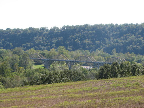
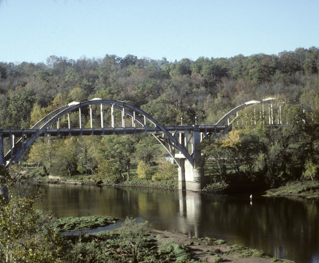
Arch Bridge at Cotter
Topographic Map of Union Township, AR, USA
Find elevation by address:

Places in Union Township, AR, USA:
Places near Union Township, AR, USA:
Yellville
Highway 14 West
24 Roundrock Ln
2027 Mc 3057
North Joe Burleson Township
Flippin
Marion County
146 Sandlewood Ln
White River Township
Snow
334 Co Rd 704
837 Marion County 7031
Marion County 7031
423 Combs Ave
423 Combs Ave
Cotter
Cotter, AR, USA
Powell Ave, Cotter, AR, USA
Mc 7031
549 River Bluff Terrace
Recent Searches:
- Elevation of Corso Fratelli Cairoli, 35, Macerata MC, Italy
- Elevation of Tallevast Rd, Sarasota, FL, USA
- Elevation of 4th St E, Sonoma, CA, USA
- Elevation of Black Hollow Rd, Pennsdale, PA, USA
- Elevation of Oakland Ave, Williamsport, PA, USA
- Elevation of Pedrógão Grande, Portugal
- Elevation of Klee Dr, Martinsburg, WV, USA
- Elevation of Via Roma, Pieranica CR, Italy
- Elevation of Tavkvetili Mountain, Georgia
- Elevation of Hartfords Bluff Cir, Mt Pleasant, SC, USA