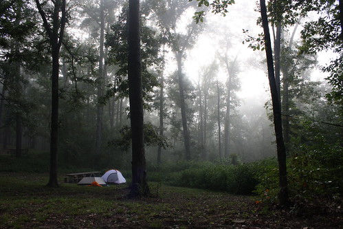
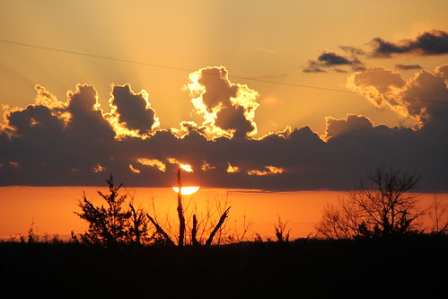
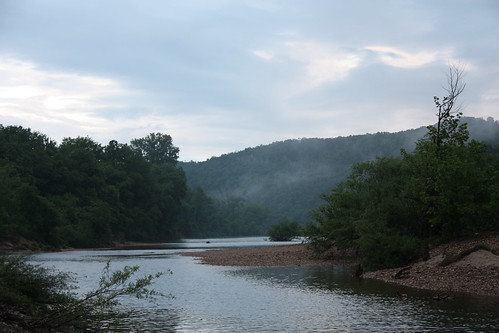
Elevation of Charda Ct, Yellville, AR, USA
Location: United States > Arkansas > Marion County > Water Creek Township >
Longitude: -92.664455
Latitude: 36.1651376
Elevation: 276m / 906feet
Barometric Pressure: 98KPa
Related Photos:
Topographic Map of Charda Ct, Yellville, AR, USA
Find elevation by address:

Places near Charda Ct, Yellville, AR, USA:
Water Creek Township
Wandas Mountain Drive
153 Autumn Leaf Ln
Union Township
Yellville
Highway 14 West
778 Cozy Ln
Rush
680 Cozy Ln
1044 Cozy Ln
De Soto Township
24 Roundrock Ln
298 Carpenters Trail
2027 Mc 3057
Mud Hollow Lane
North Joe Burleson Township
Flippin
Tomahawk Township
White River Township
837 Marion County 7031
Recent Searches:
- Elevation of Corso Fratelli Cairoli, 35, Macerata MC, Italy
- Elevation of Tallevast Rd, Sarasota, FL, USA
- Elevation of 4th St E, Sonoma, CA, USA
- Elevation of Black Hollow Rd, Pennsdale, PA, USA
- Elevation of Oakland Ave, Williamsport, PA, USA
- Elevation of Pedrógão Grande, Portugal
- Elevation of Klee Dr, Martinsburg, WV, USA
- Elevation of Via Roma, Pieranica CR, Italy
- Elevation of Tavkvetili Mountain, Georgia
- Elevation of Hartfords Bluff Cir, Mt Pleasant, SC, USA

