Elevation of Washington, KS, USA
Location: United States > Kansas > Brown County >
Longitude: -95.4149003
Latitude: 39.7113309
Elevation: 340m / 1115feet
Barometric Pressure: 0KPa
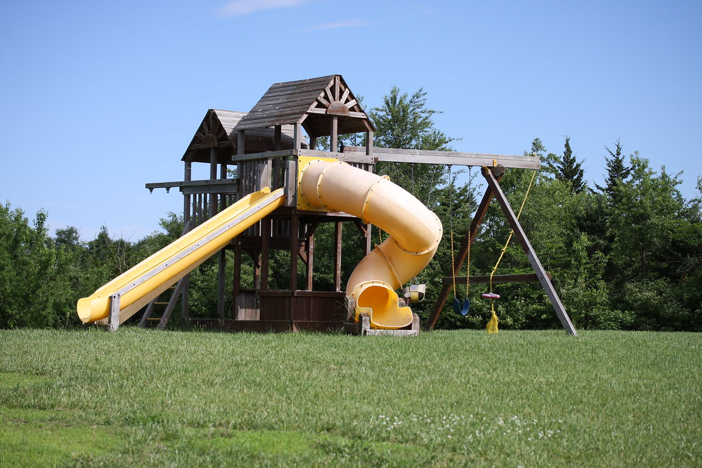
Related Photos:

Cold pretty sunset in Kansas at my folks on Christmas Eve
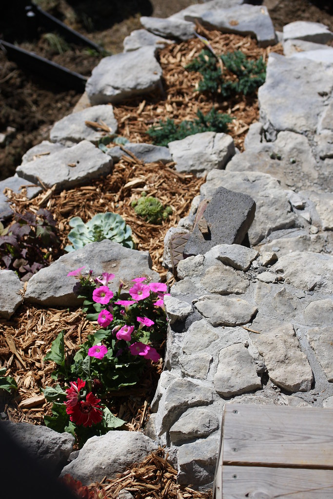
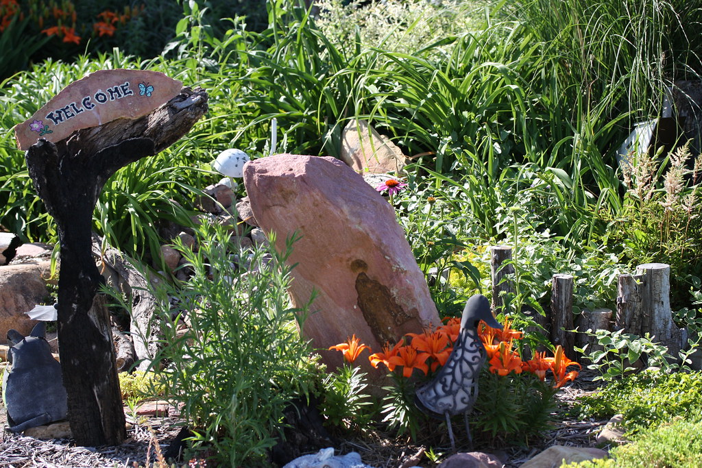
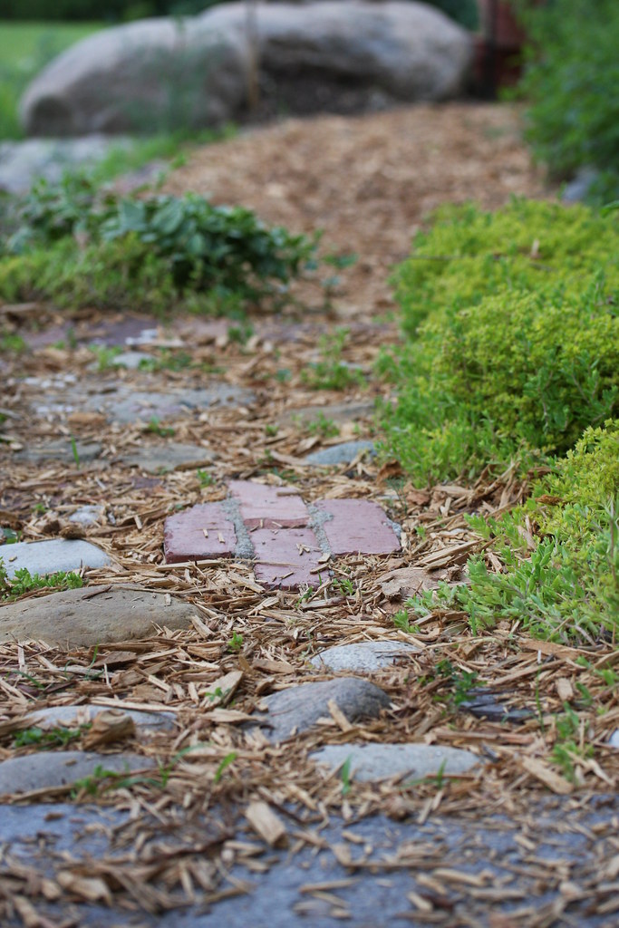
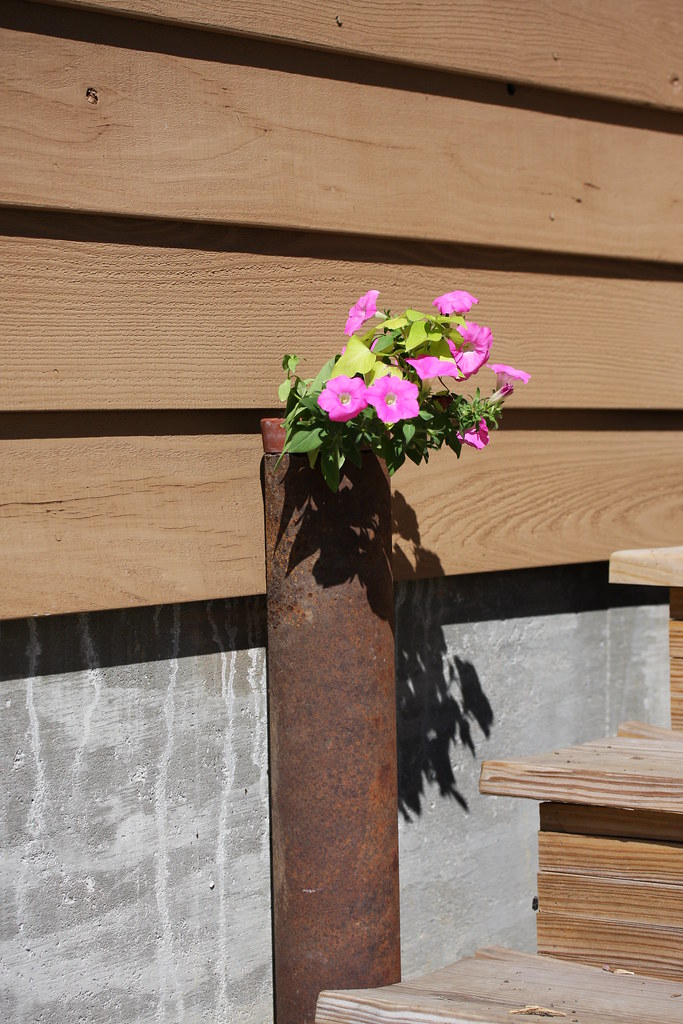
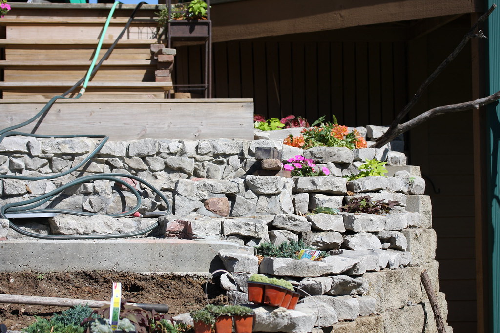
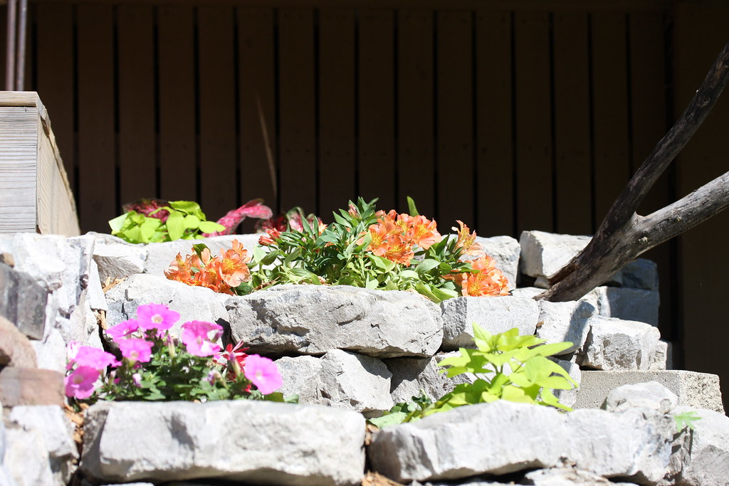
My gardens

Flowers in my garden...
My gardens

My gardens

My gardens

My gardens

My gardens

My gardens

My gardens
My gardens

My gardens

My gardens
My gardens

My gardens
My gardens
My gardens

My gardens

My gardens
My gardens

My gardens
Topographic Map of Washington, KS, USA
Find elevation by address:

Places in Washington, KS, USA:
Places near Washington, KS, USA:
Everest
KS-20, Everest, KS, USA
Brown County
1st Ave E, Horton, KS, USA
Horton
936 Central Ave
245 W 13th St
1249 2nd Ave W
220th Road & Ashpoint Road
Atchison County
Lancaster
S 1st St, Lancaster, KS, USA
Lancaster
Hiawatha
William St, Effingham, KS, USA
Effingham
Wolf River
E 3rd St, Muscotah, KS, USA
808 Cherokee Ave
Irving
Recent Searches:
- Elevation of 908, Northwood Drive, Bridge Field, Chesapeake, Virginia, 23322, USA
- Elevation map of Nagano Prefecture, Japan
- Elevation of 587, Bascule Drive, Oakdale, Stanislaus County, California, 95361, USA
- Elevation of Stadion Wankdorf, Sempachstrasse, Breitfeld, Bern, Bern-Mittelland administrative district, Bern, 3014, Switzerland
- Elevation of Z024, 76, Emil-von-Behring-Straße, Marbach, Marburg, Landkreis Marburg-Biedenkopf, Hesse, 35041, Germany
- Elevation of Gaskill Road, Hunts Cross, Liverpool, England, L24 9PH, United Kingdom
- Elevation of Speke, Liverpool, England, L24 9HD, United Kingdom
- Elevation of Seqirus, 475, Green Oaks Parkway, Holly Springs, Wake County, North Carolina, 27540, USA
- Elevation of Pasing, Munich, Bavaria, 81241, Germany
- Elevation of 24, Auburn Bay Crescent SE, Auburn Bay, Calgary, Alberta, T3M 0A6, Canada
- Elevation of Denver, 2314, Arapahoe Street, Five Points, Denver, Colorado, 80205, USA
- Elevation of Community of the Beatitudes, 2924, West 43rd Avenue, Sunnyside, Denver, Colorado, 80211, USA
- Elevation map of Litang County, Sichuan, China
- Elevation map of Madoi County, Qinghai, China
- Elevation of 3314, Ohio State Route 114, Payne, Paulding County, Ohio, 45880, USA
- Elevation of Sarahills Drive, Saratoga, Santa Clara County, California, 95070, USA
- Elevation of Town of Bombay, Franklin County, New York, USA
- Elevation of 9, Convent Lane, Center Moriches, Suffolk County, New York, 11934, USA
- Elevation of Saint Angelas Convent, 9, Convent Lane, Center Moriches, Suffolk County, New York, 11934, USA
- Elevation of 131st Street Southwest, Mukilteo, Snohomish County, Washington, 98275, USA