Elevation of Atchison County, KS, USA
Location: United States > Kansas >
Longitude: -95.352087
Latitude: 39.5701137
Elevation: 344m / 1129feet
Barometric Pressure: 97KPa
Elevation Map:
Satellite Map:
Related Photos:
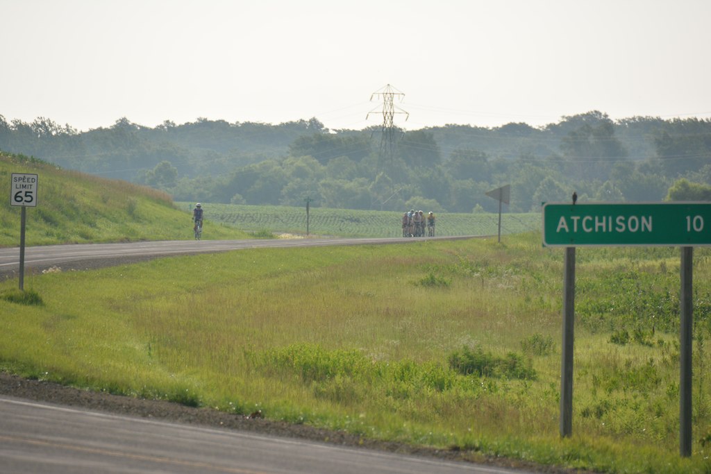
DSC_8093

The Great American Pastime
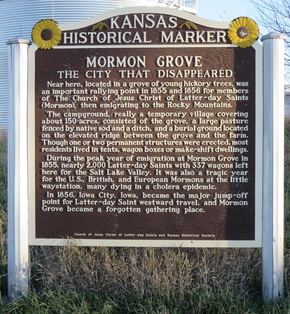
Mormon Grove Marker (Atchison County, Kansas)
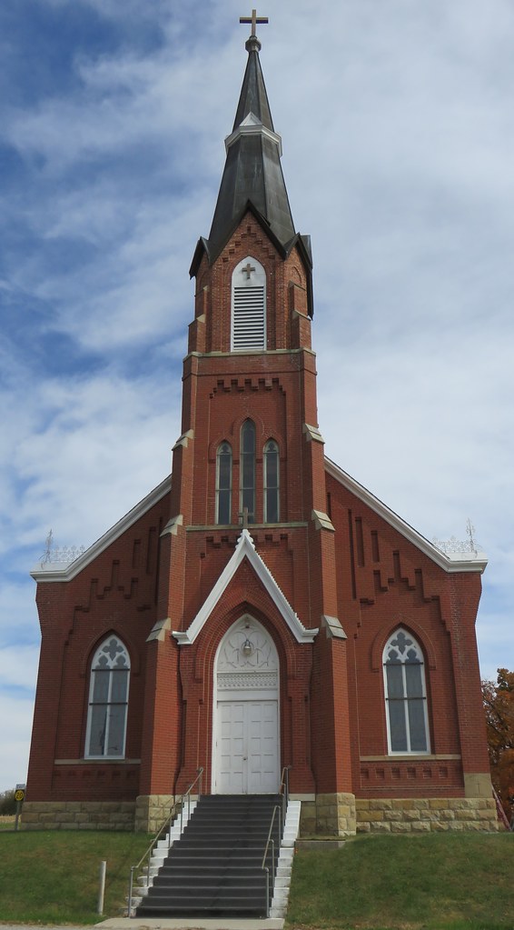
Saint Mary's Catholic Church (Purcell, Kansas)

Greenbrier rail services, Cummings, Texas

Eastern Snapping Turtle

Clouds and ERJ-135

The Lonely Life of an Outfielder

Vintage Base Ball

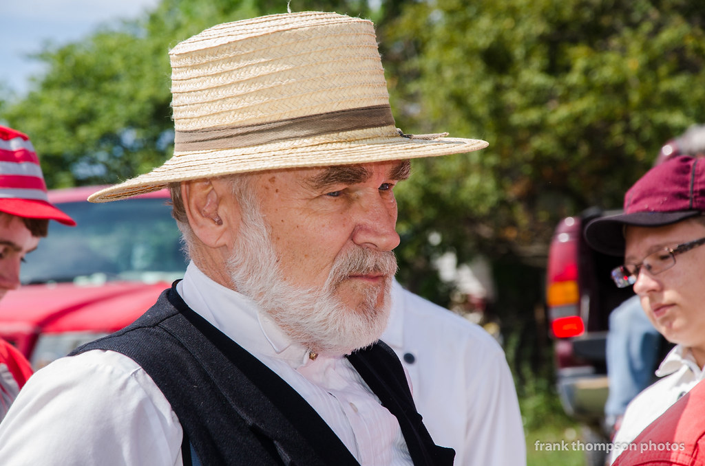
Base Ball Groupie - 1870s Style?

Hauling Out the Heavy Timber
Don't Kill the Umpire!
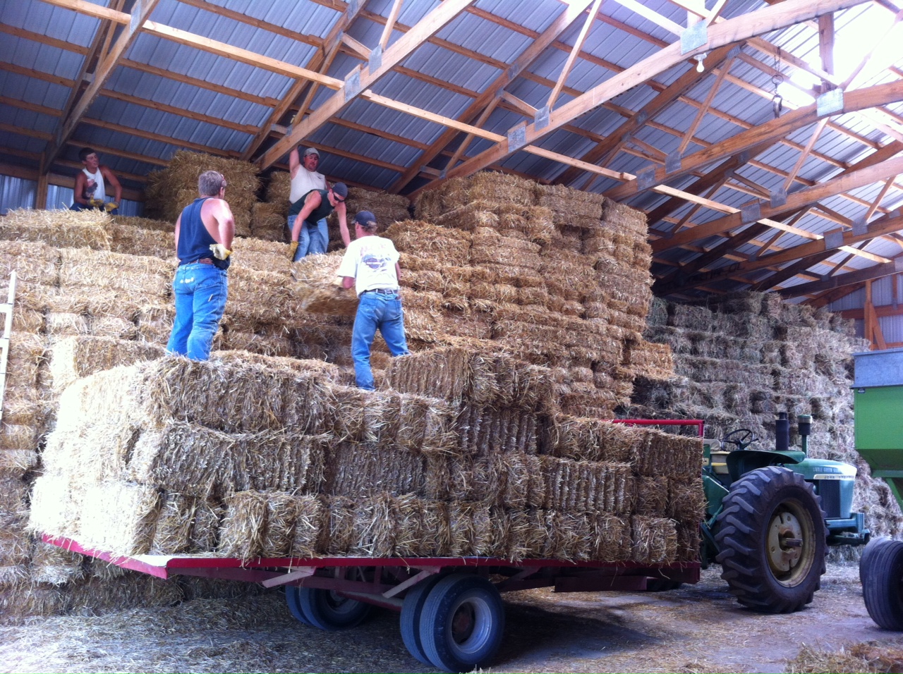
Putting up Straw
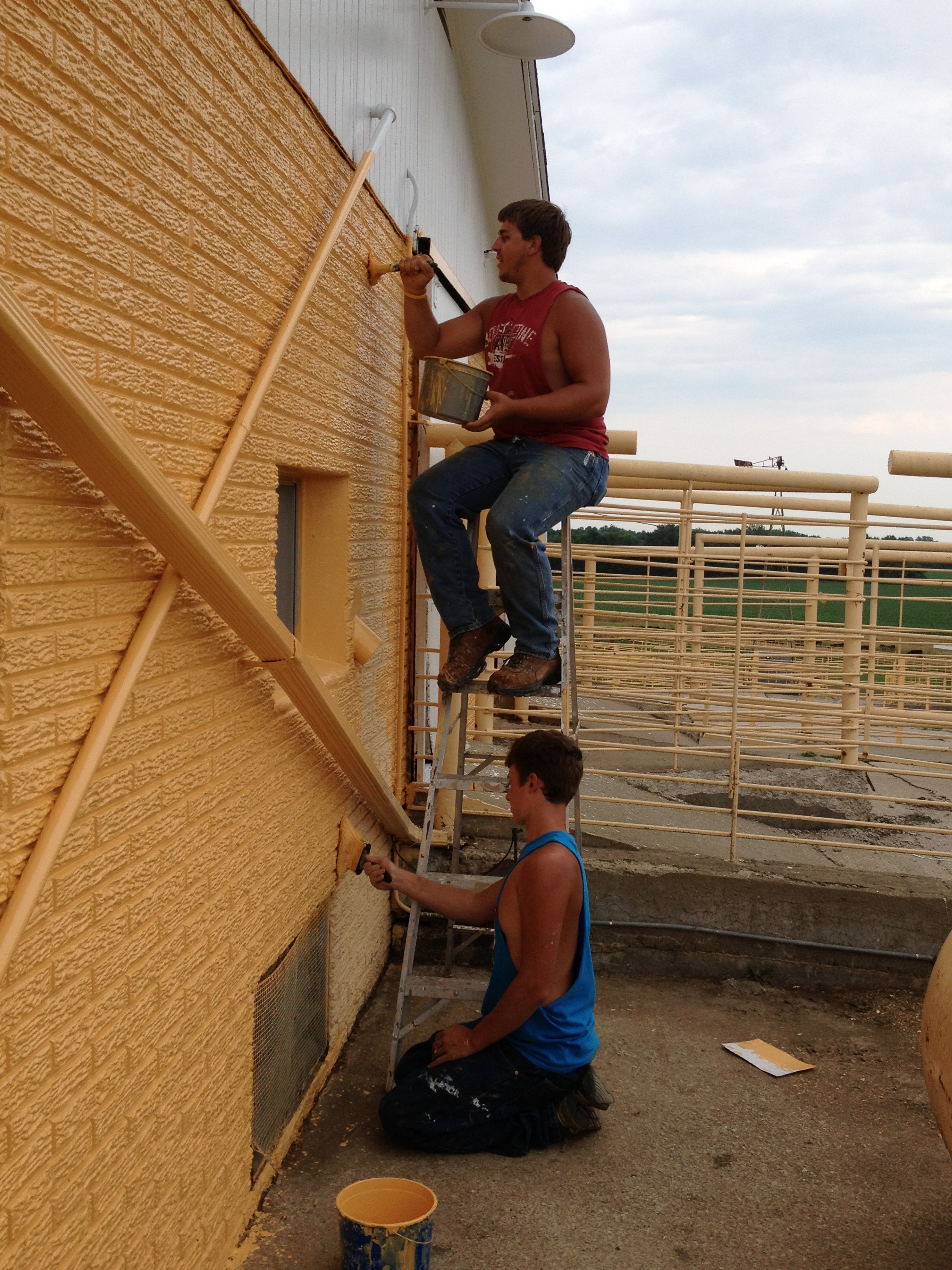
Painting on the Farm

2011-SD1-729am
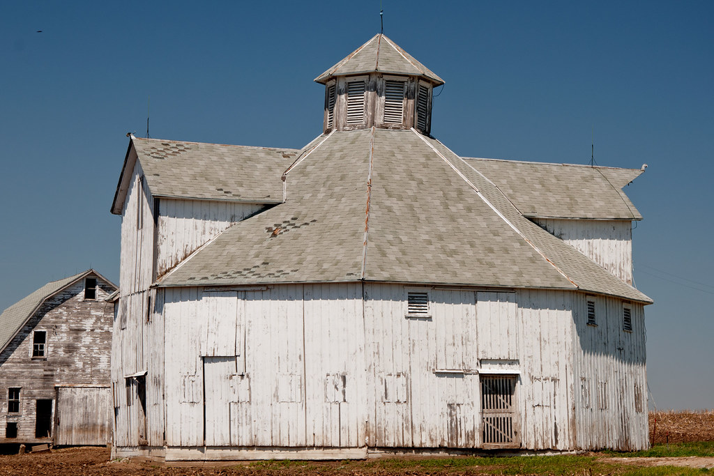
Octagonal Barn
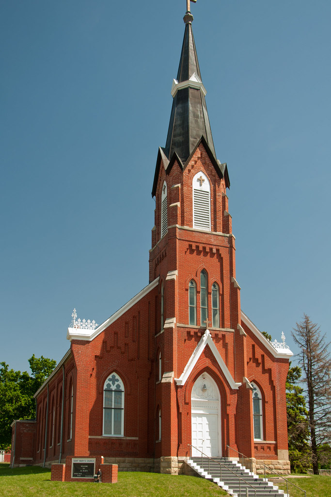
St. Mary's Church
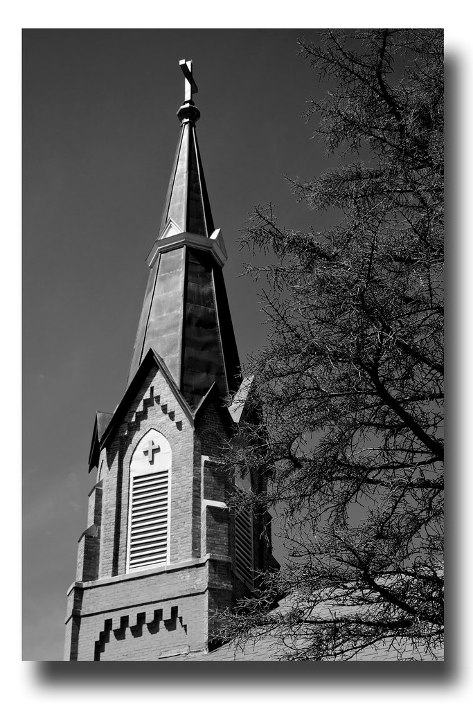
Steeple & Dead Tree

Post Office 66424 (Everest, Kansas)
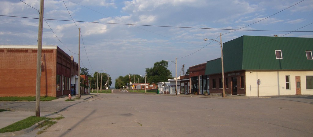
Downtown Everest, Kansas
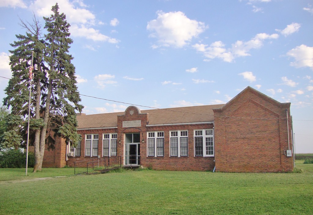
Rural High School Number 2 (Huron, Kansas)
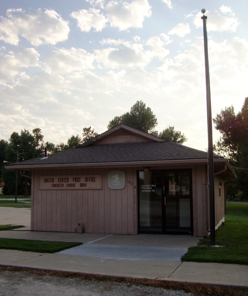
Post Office 66041 (Lancaster, Kansas)
Topographic Map of Atchison County, KS, USA
Find elevation by address:

Places in Atchison County, KS, USA:
Places near Atchison County, KS, USA:
S 1st St, Lancaster, KS, USA
Lancaster
Lancaster
William St, Effingham, KS, USA
Effingham
Benton
KS-20, Everest, KS, USA
Everest
Shannon
Cummings
Washington
3658 Neosho Rd
E 3rd St, Muscotah, KS, USA
16987 274th Rd
16987 274th Rd
Kapioma
1st Ave E, Horton, KS, USA
Horton
936 Central Ave
245 W 13th St
Recent Searches:
- Elevation of Corso Fratelli Cairoli, 35, Macerata MC, Italy
- Elevation of Tallevast Rd, Sarasota, FL, USA
- Elevation of 4th St E, Sonoma, CA, USA
- Elevation of Black Hollow Rd, Pennsdale, PA, USA
- Elevation of Oakland Ave, Williamsport, PA, USA
- Elevation of Pedrógão Grande, Portugal
- Elevation of Klee Dr, Martinsburg, WV, USA
- Elevation of Via Roma, Pieranica CR, Italy
- Elevation of Tavkvetili Mountain, Georgia
- Elevation of Hartfords Bluff Cir, Mt Pleasant, SC, USA