Elevation of Hiawatha, KS, USA
Location: United States > Kansas > Brown County >
Longitude: -95.5358156
Latitude: 39.8525033
Elevation: 347m / 1138feet
Barometric Pressure: 0KPa
Related Photos:

Everard Bierer
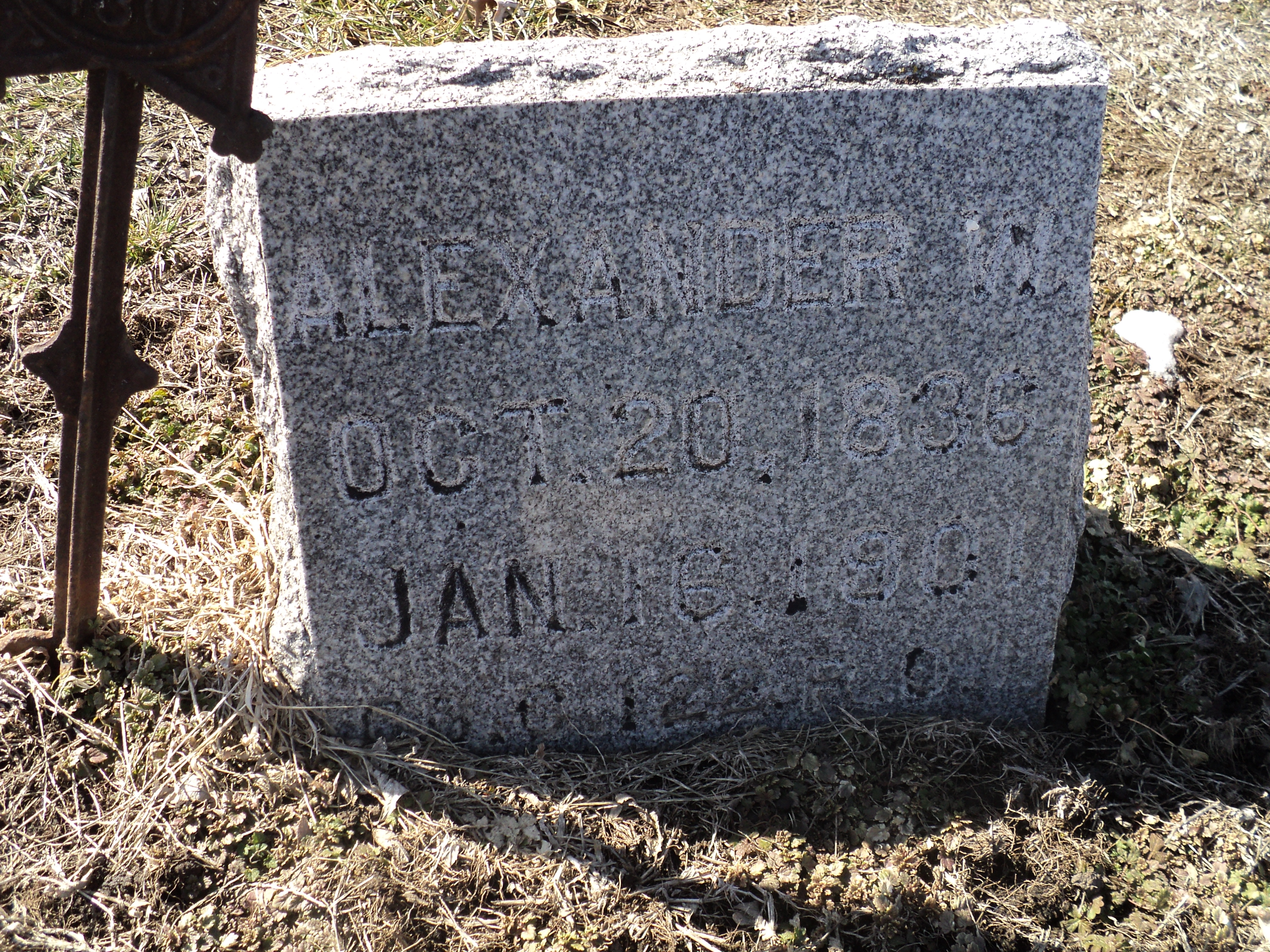
Alexander W. Bell

Alexander W. Bell (1)

Mount Hope Cemetery, Reversed

Cold pretty sunset in Kansas at my folks on Christmas Eve

Hiawatha Municipal Airport

Hiawatha Municipal Airport

Kansas sky

RCWest 1285
Topographic Map of Hiawatha, KS, USA
Find elevation by address:

Places in Hiawatha, KS, USA:
Places near Hiawatha, KS, USA:
808 Cherokee Ave
Brown County
Irving
Washington
1249 2nd Ave W
245 W 13th St
936 Central Ave
Thrasher Road & 300th Street
Thrasher Road & 300th Street
1st Ave E, Horton, KS, USA
Horton
Everest
Rulo
KS-20, Everest, KS, USA
1015 Harlan St
220th Road & Ashpoint Road
E 16th St, Falls City, NE, USA
Falls City
Rulo
White Cloud
Recent Searches:
- Elevation of 10370, West 107th Circle, Westminster, Jefferson County, Colorado, 80021, USA
- Elevation of 611, Roman Road, Old Ford, Bow, London, England, E3 2RW, United Kingdom
- Elevation of 116, Beartown Road, Underhill, Chittenden County, Vermont, 05489, USA
- Elevation of Window Rock, Colfax County, New Mexico, 87714, USA
- Elevation of 4807, Rosecroft Street, Kempsville Gardens, Virginia Beach, Virginia, 23464, USA
- Elevation map of Matawinie, Quebec, Canada
- Elevation of Sainte-Émélie-de-l'Énergie, Matawinie, Quebec, Canada
- Elevation of Rue du Pont, Sainte-Émélie-de-l'Énergie, Matawinie, Quebec, J0K2K0, Canada
- Elevation of 8, Rue de Bécancour, Blainville, Thérèse-De Blainville, Quebec, J7B1N2, Canada
- Elevation of Wilmot Court North, 163, University Avenue West, Northdale, Waterloo, Region of Waterloo, Ontario, N2L6B6, Canada
- Elevation map of Panamá Province, Panama
- Elevation of Balboa, Panamá Province, Panama
- Elevation of San Miguel, Balboa, Panamá Province, Panama
- Elevation of Isla Gibraleón, San Miguel, Balboa, Panamá Province, Panama
- Elevation of 4655, Krischke Road, Schulenburg, Fayette County, Texas, 78956, USA
- Elevation of Carnegie Avenue, Downtown Cleveland, Cleveland, Cuyahoga County, Ohio, 44115, USA
- Elevation of Walhonding, Coshocton County, Ohio, USA
- Elevation of Clifton Down, Clifton, Bristol, City of Bristol, England, BS8 3HU, United Kingdom
- Elevation map of Auvergne-Rhône-Alpes, France
- Elevation map of Upper Savoy, Auvergne-Rhône-Alpes, France