Elevation of Irving, KS, USA
Location: United States > Kansas > Brown County >
Longitude: -95.414900
Latitude: 39.9166356
Elevation: 294m / 965feet
Barometric Pressure: 98KPa
Elevation Map:
Satellite Map:
Related Photos:

Everard Bierer
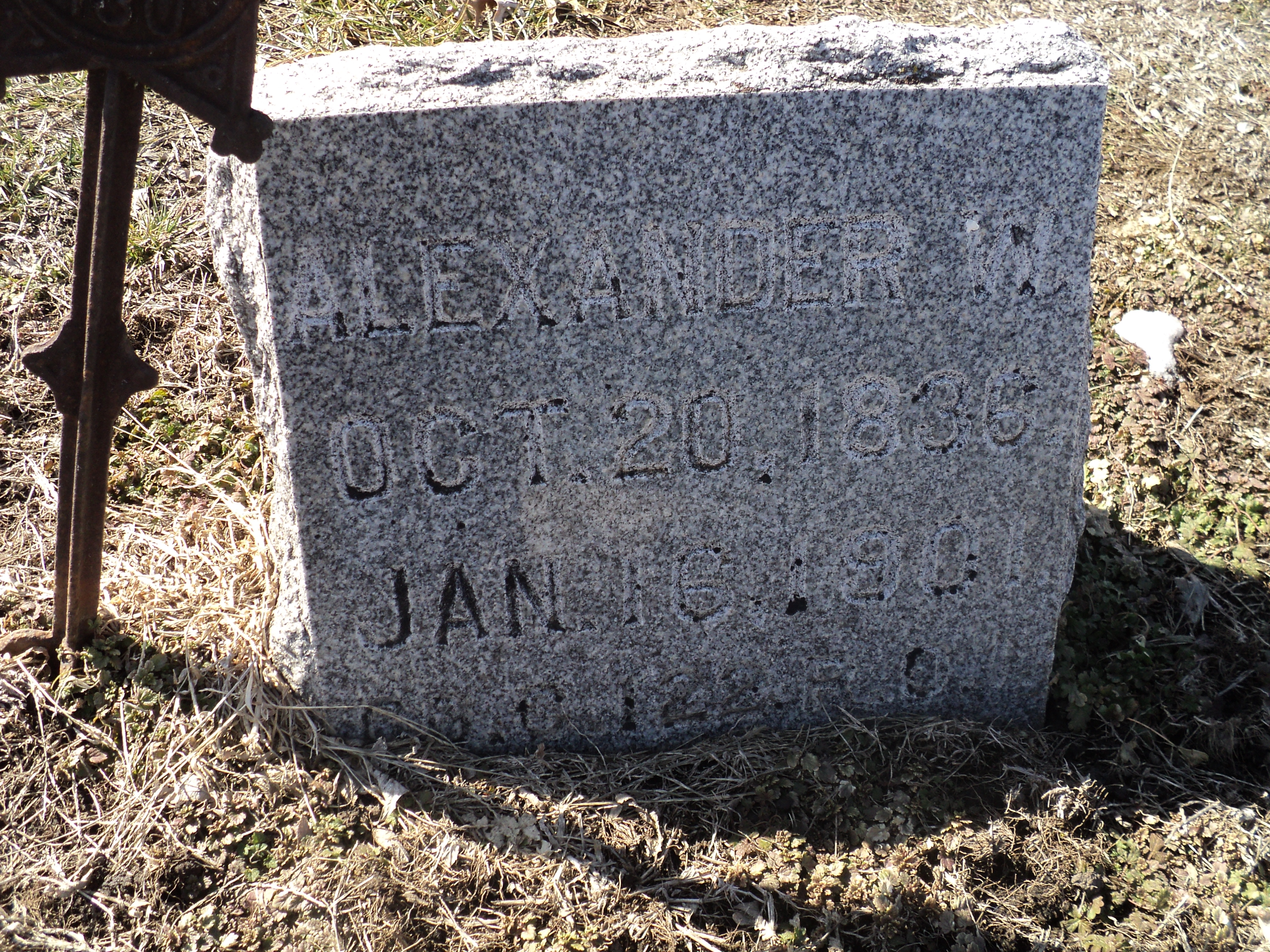
Alexander W. Bell

Alexander W. Bell (1)

Mount Hope Cemetery, Reversed
Aerial photos between Kansas City, Mo., and Rulo, Neb.

White Cloud School (side view) - White Cloud, KS

Cold pretty sunset in Kansas at my folks on Christmas Eve

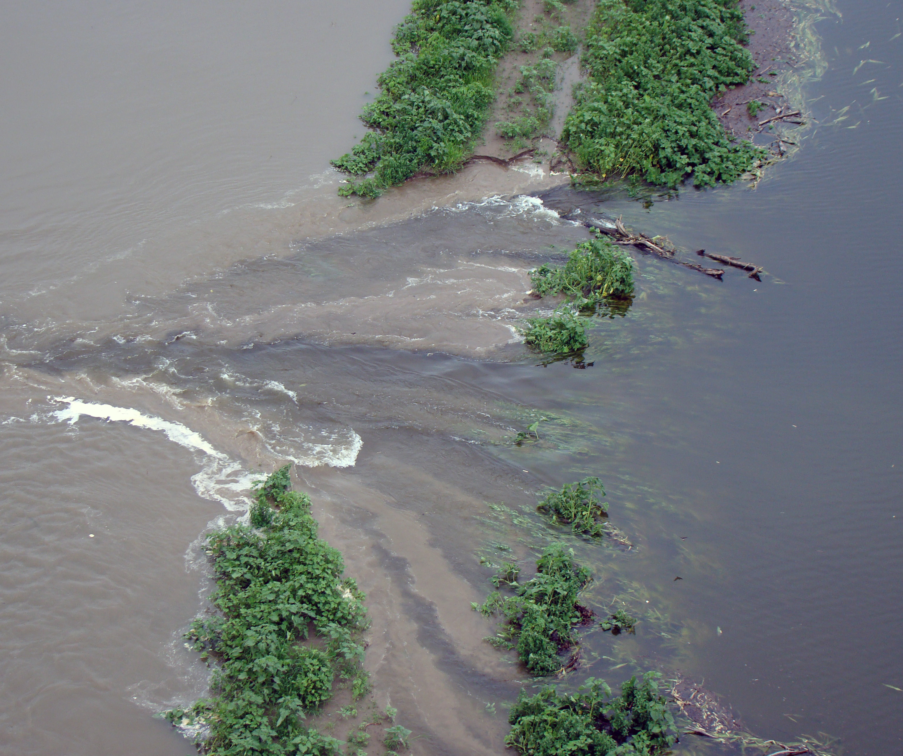
Missouri River (Rulo, Nebraska)

Missouri River (Rulo, Nebraska)

Three States

Missouri River @ Rulo, Nebraska

Hiawatha Municipal Airport

Hiawatha Municipal Airport

Kansas sky
Topographic Map of Irving, KS, USA
Find elevation by address:

Places near Irving, KS, USA:
Thrasher Road & 300th Street
Thrasher Road & 300th Street
Rulo
220th Road & Ashpoint Road
White Cloud
Rulo
Hiawatha
808 Cherokee Ave
Brown County
KS-7, White Cloud, KS, USA
Iowa
Wolf River
Washington
1015 Harlan St
Falls City
E 16th St, Falls City, NE, USA
Everest
KS-20, Everest, KS, USA
Doniphan County
State Hwy T, Forest City, MO, USA
Recent Searches:
- Elevation of Corso Fratelli Cairoli, 35, Macerata MC, Italy
- Elevation of Tallevast Rd, Sarasota, FL, USA
- Elevation of 4th St E, Sonoma, CA, USA
- Elevation of Black Hollow Rd, Pennsdale, PA, USA
- Elevation of Oakland Ave, Williamsport, PA, USA
- Elevation of Pedrógão Grande, Portugal
- Elevation of Klee Dr, Martinsburg, WV, USA
- Elevation of Via Roma, Pieranica CR, Italy
- Elevation of Tavkvetili Mountain, Georgia
- Elevation of Hartfords Bluff Cir, Mt Pleasant, SC, USA