Elevation of W Belmont Ave, Firebaugh, CA, USA
Location: United States > California > Fresno County > Firebaugh >
Longitude: -120.63442
Latitude: 36.757629
Elevation: 90m / 295feet
Barometric Pressure: 100KPa
Elevation Map:
Satellite Map:
Related Photos:

rear view
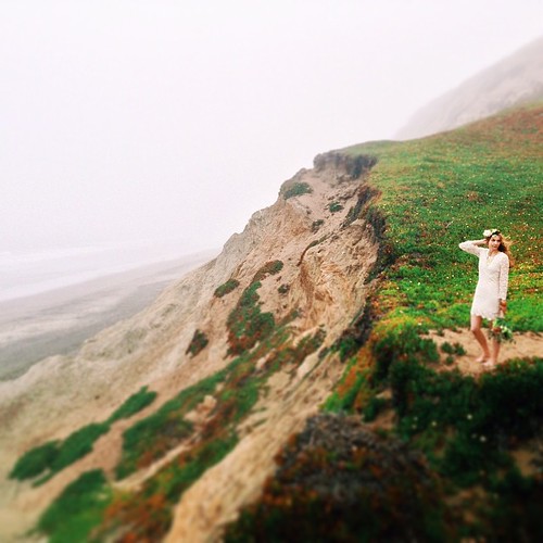
Flowers in her hair. #sanfrancisco #california #california_igers #ocean #cliff #seaside #model #bayareaweddingphotographer #photoshoot #bridal #florals #spring #westcoastbestcoast #igers_sf #vsco #vscophile #vscocam #tinypeopleinbigplaces #bohochic #bo

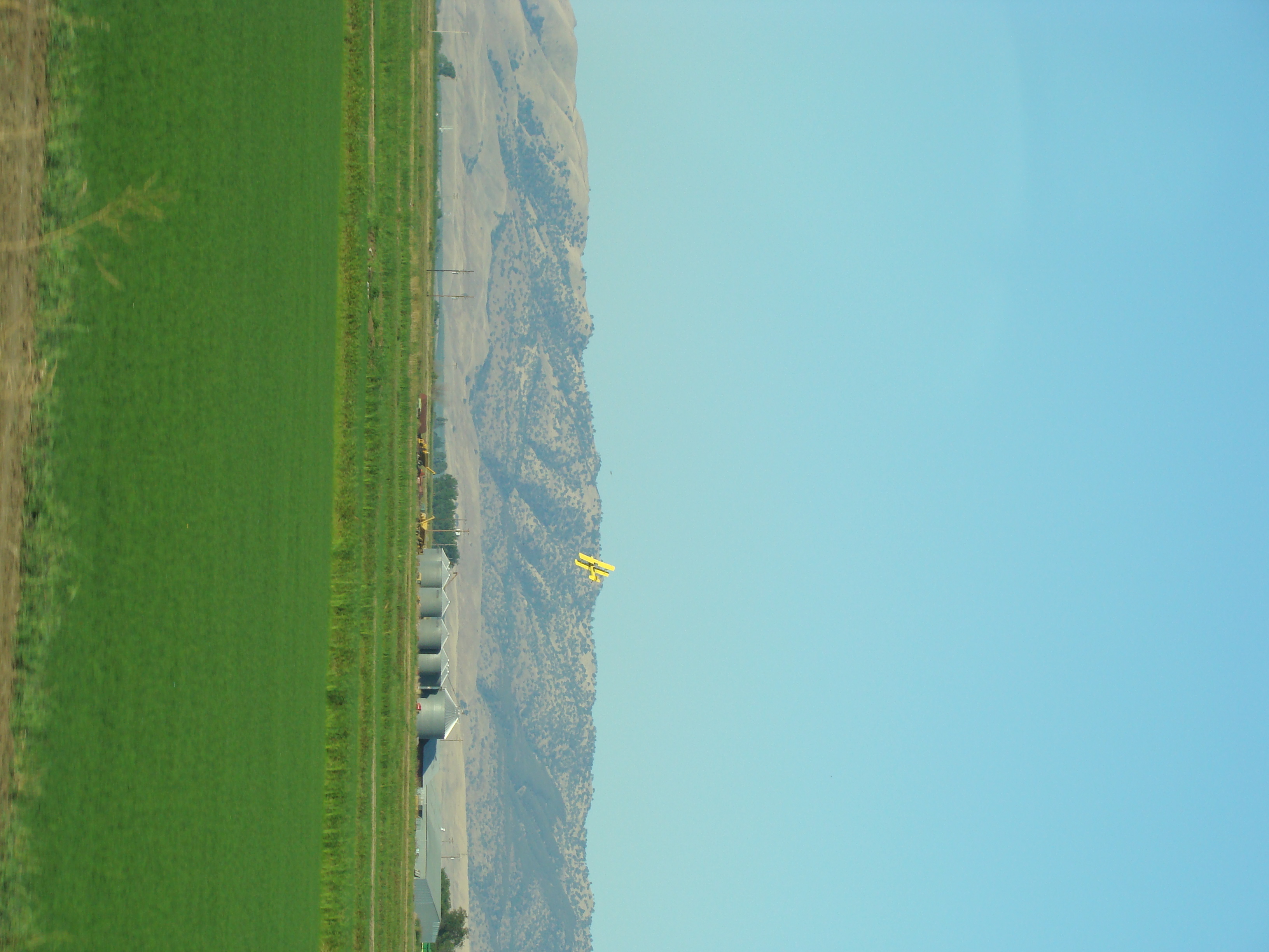
Panoche gold

Sunrise in the Central Valley
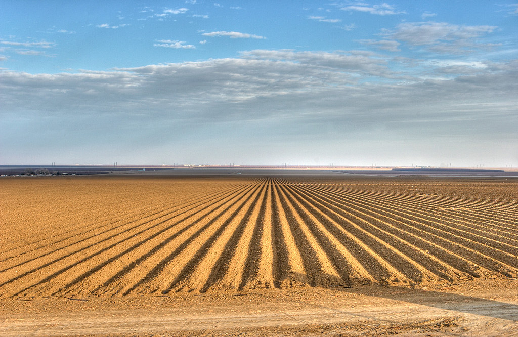
Creating a Crop
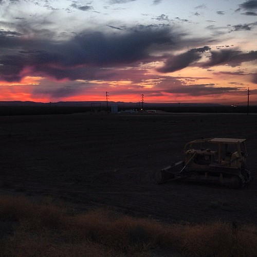
#latergram #tractor #sunset #rain
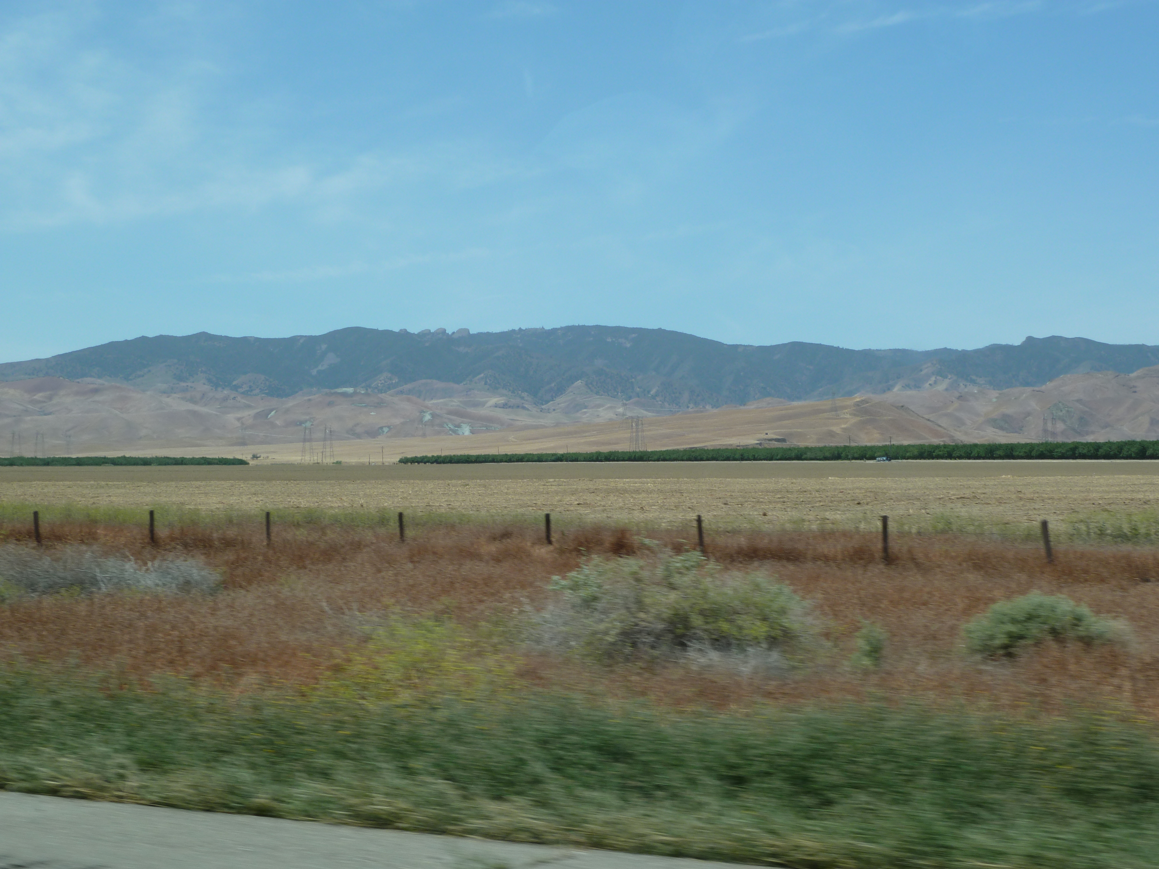
California's Heartland
2013-08-06 08.17.19
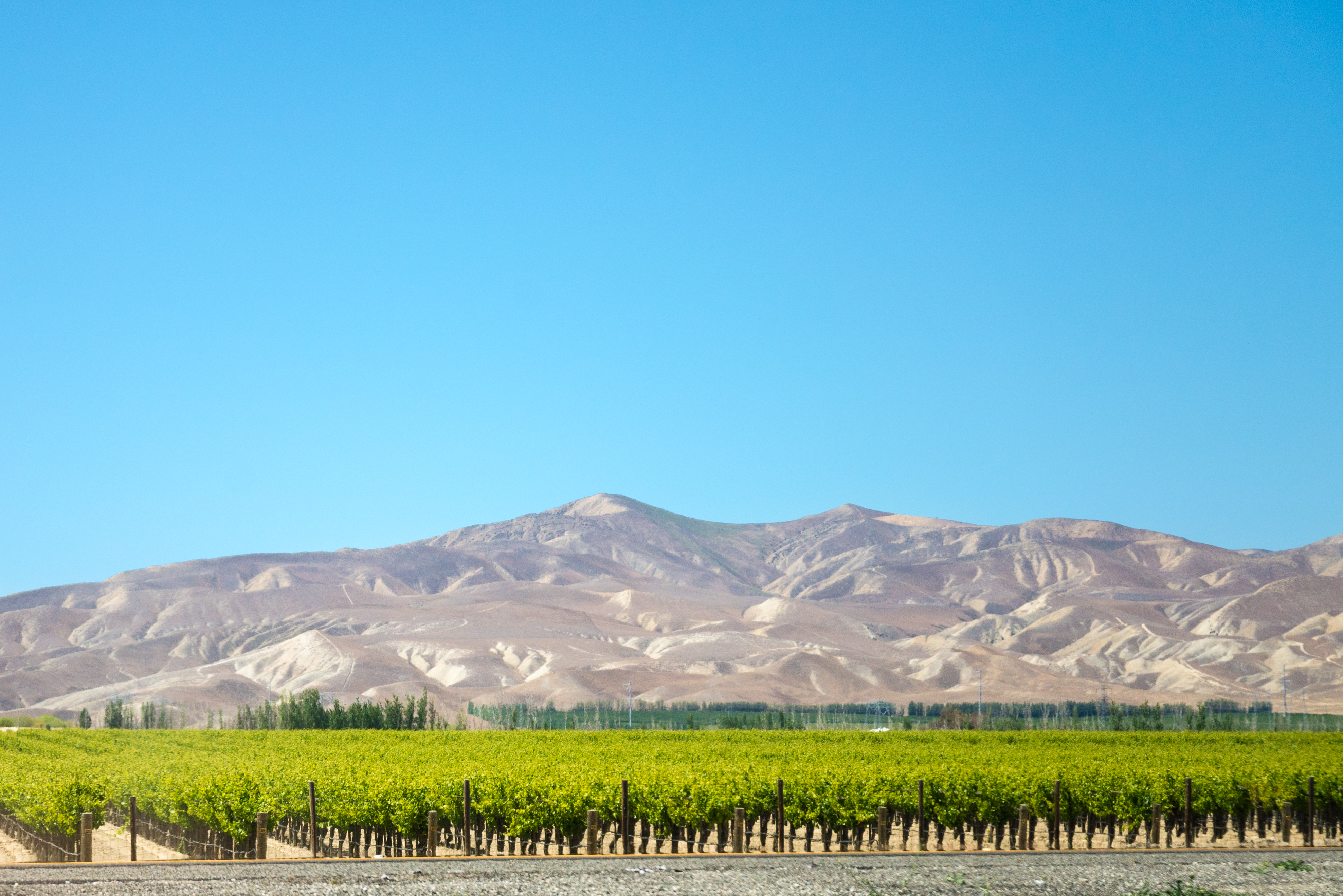
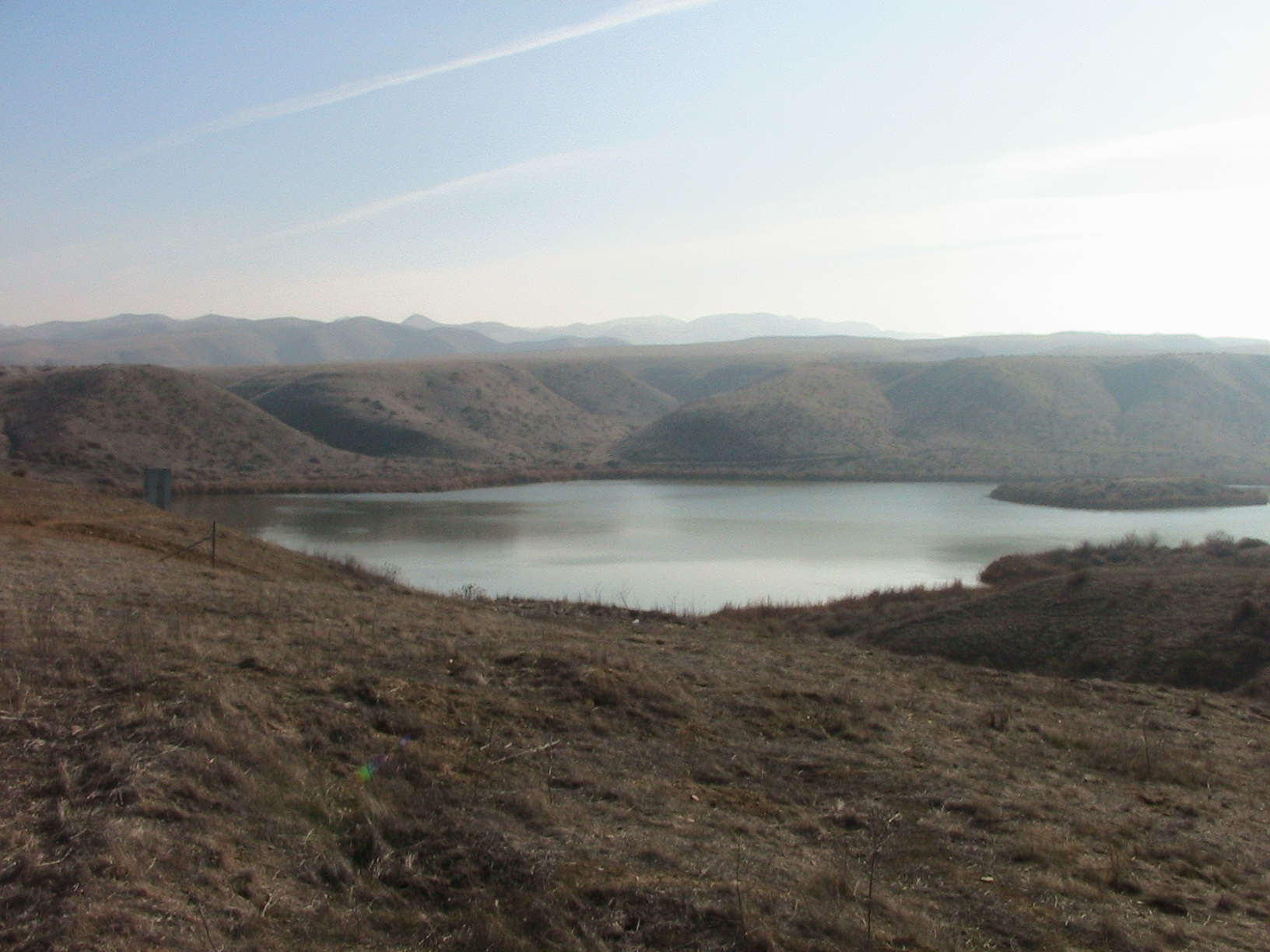
Central Valley

Panoche, Central Valley, and Sierra Beyond

Panoche Hills

creek over ridden with salt cedar, see gps coordinates
孤 Lone
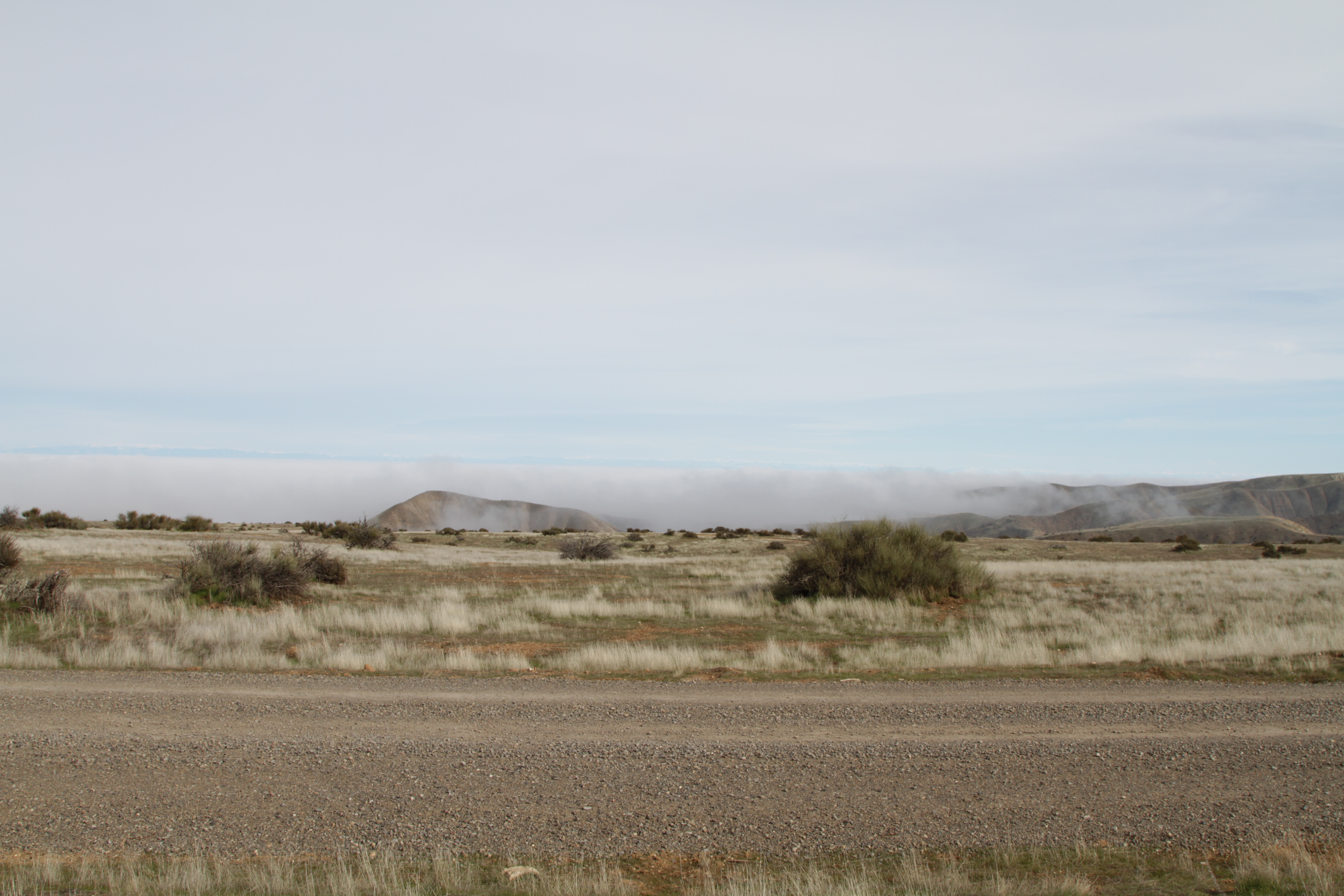
Image 20614.
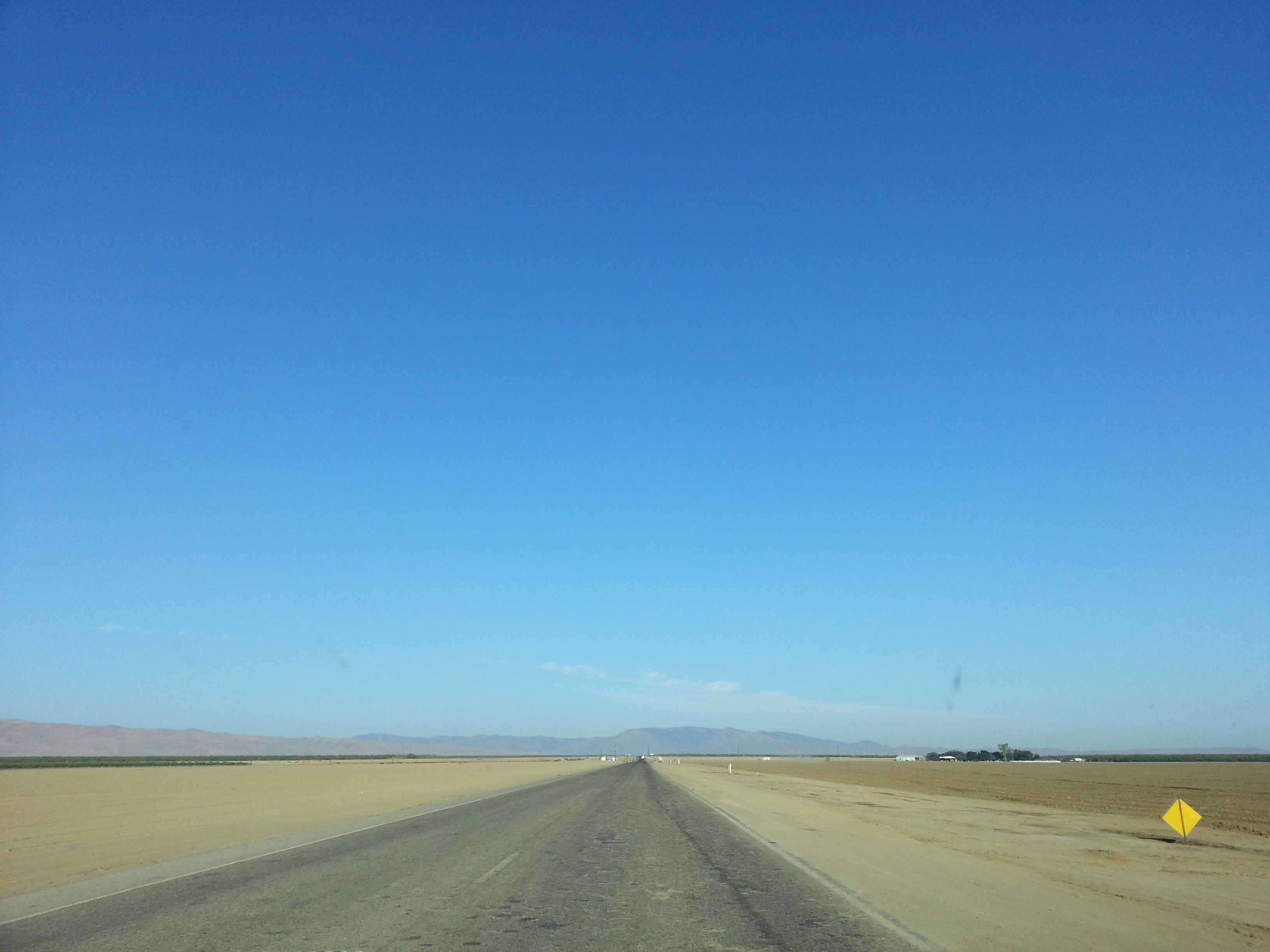
end of the road
IMG_4199.JPG
Image 20605.
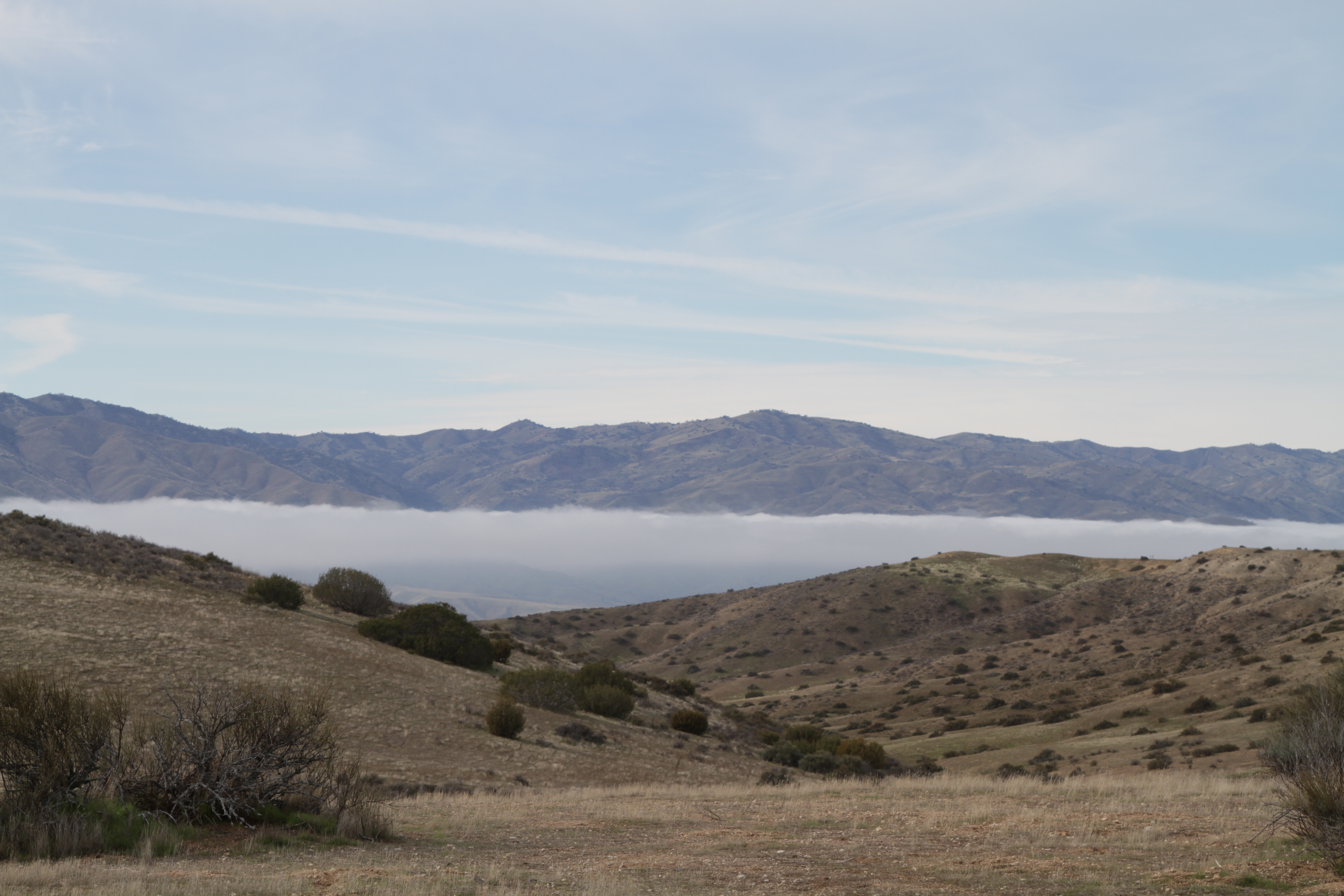
Image 20615.
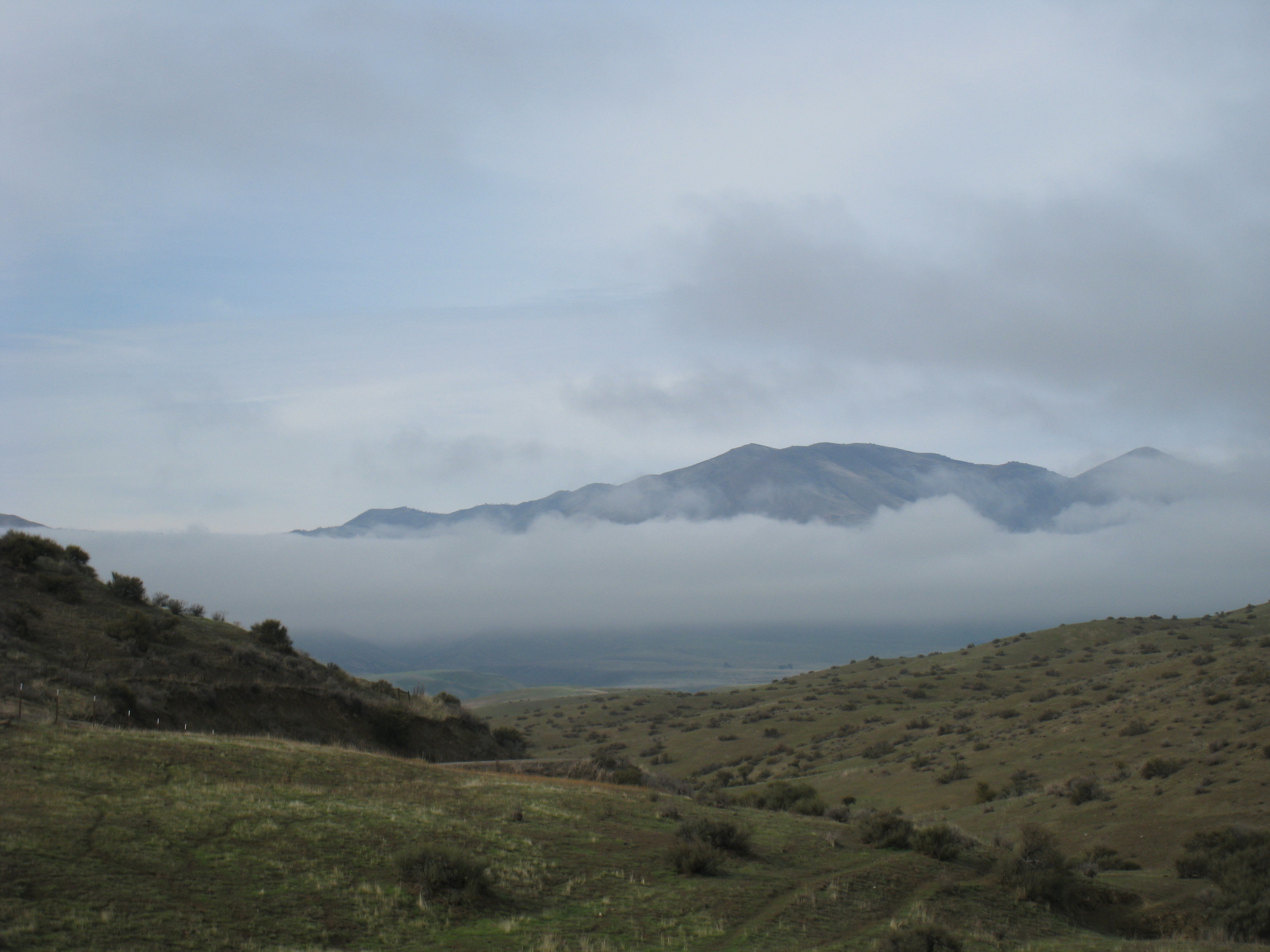
Image 20624.
The Hills are getting Bigger
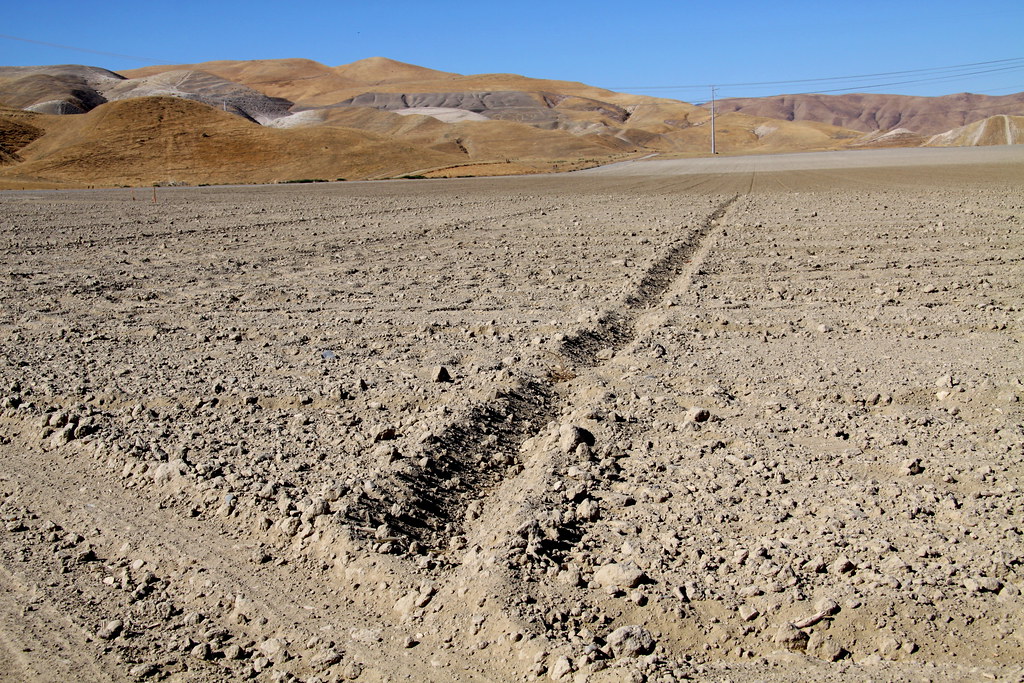
Central Valley Rocks
Image 20619.
Topographic Map of W Belmont Ave, Firebaugh, CA, USA
Find elevation by address:

Places near W Belmont Ave, Firebaugh, CA, USA:
Brannon Ave, Firebaugh, CA, USA
W Bullard Ave, Firebaugh, CA, USA
N Dos Palos Rd, Dos Palos, CA, USA
Firebaugh
S Washoe Ave, Mendota, CA, USA
1350 P St
South Dos Palos
6th St, South Dos Palos, CA, USA
CA-33, Firebaugh, CA, USA
1902 Lynn Ave
16816 Lexington Ave
Dos Palos
Little Panoche Rd, Firebaugh, CA, USA
Mendota
Britto Rd, Dos Palos, CA, USA
Pucheu St, Mendota, CA, USA
Panoche Rd, Paicines, CA, USA
1042 Pucheu St
Wonderful Orchards, New Columbia Division
Azusa Ave, Dos Palos, CA, USA
Recent Searches:
- Elevation of Corso Fratelli Cairoli, 35, Macerata MC, Italy
- Elevation of Tallevast Rd, Sarasota, FL, USA
- Elevation of 4th St E, Sonoma, CA, USA
- Elevation of Black Hollow Rd, Pennsdale, PA, USA
- Elevation of Oakland Ave, Williamsport, PA, USA
- Elevation of Pedrógão Grande, Portugal
- Elevation of Klee Dr, Martinsburg, WV, USA
- Elevation of Via Roma, Pieranica CR, Italy
- Elevation of Tavkvetili Mountain, Georgia
- Elevation of Hartfords Bluff Cir, Mt Pleasant, SC, USA