Elevation of S Washoe Ave, Mendota, CA, USA
Location: United States > California > Fresno County > Mendota >
Longitude: -120.45789
Latitude: 36.651778
Elevation: 78m / 256feet
Barometric Pressure: 100KPa
Elevation Map:
Satellite Map:
Related Photos:

And seek!!!

I Screen My Phone Calls...
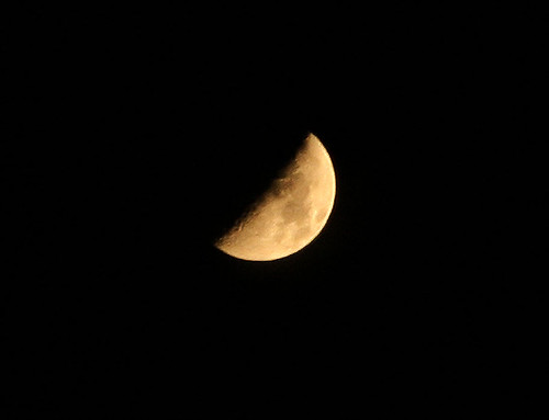
Moon over Tranquillity

In The Distance
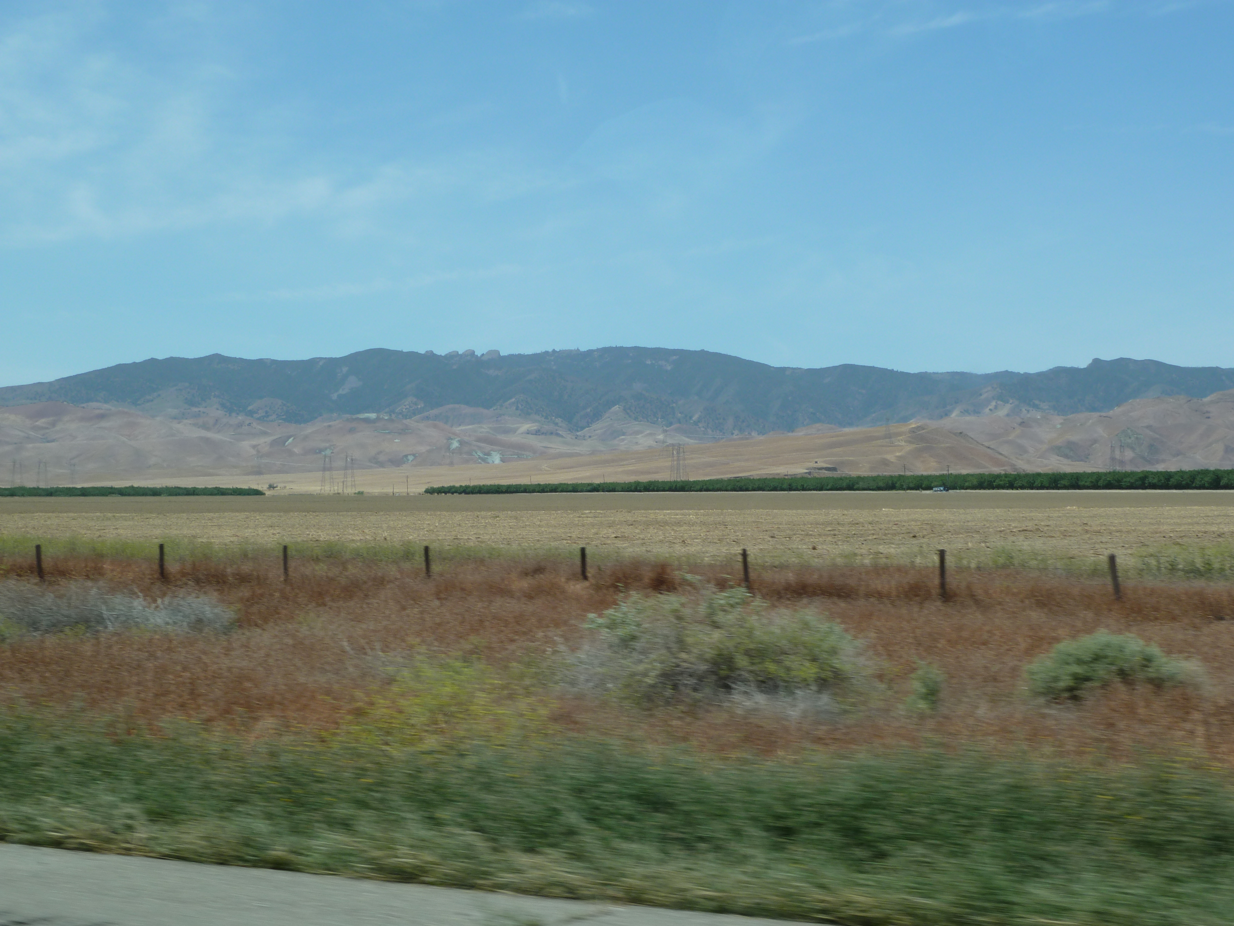
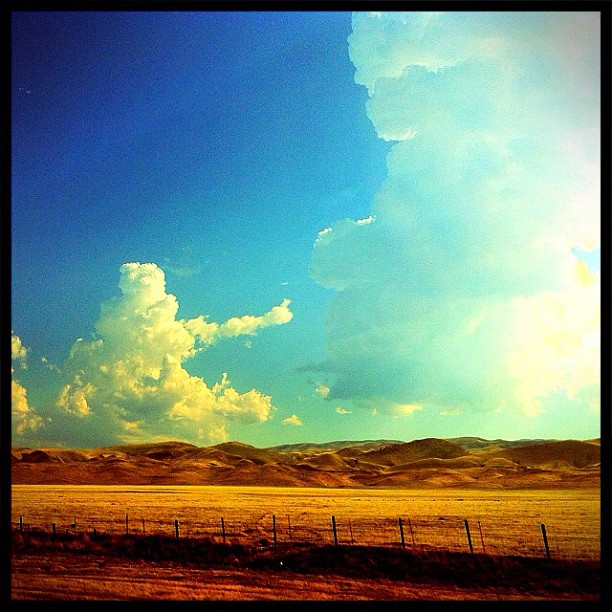
The Hills are getting Bigger
in-Merced, Mar 23, 2009
Recently Added-72
I think this cloud might be flipping me off...

It's In the Trees

Recently Added-73
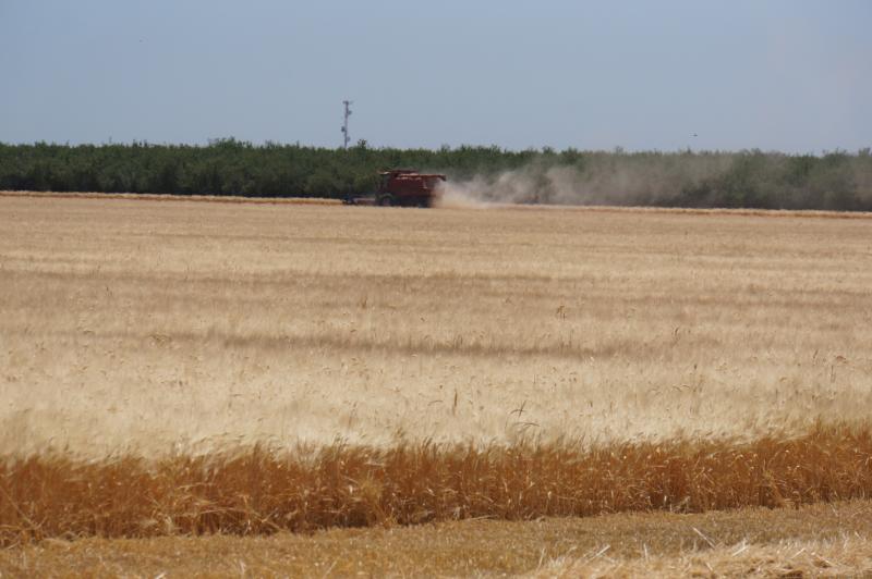
California 2012 07
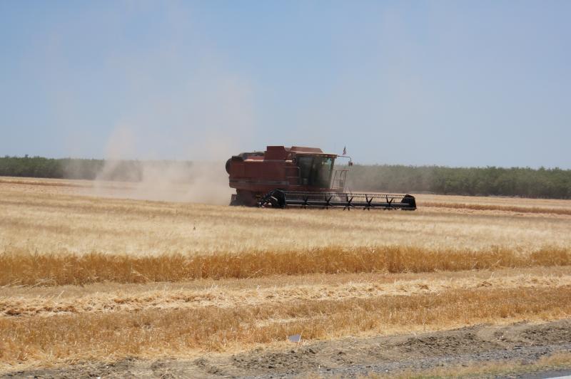
California 2012 07
California 2012 07
California 2012 07
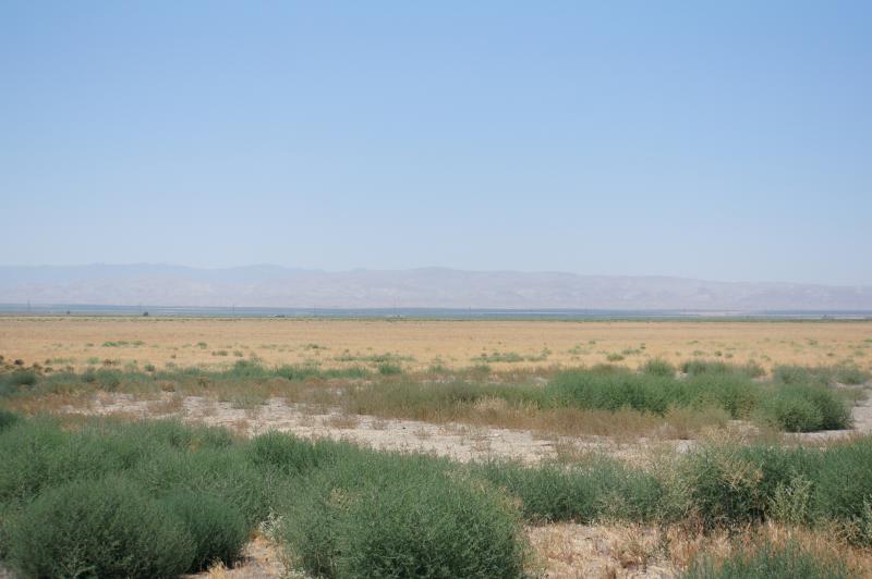
Near Bakersfield... #iphonephotography #nature #landscape #greens #blues #browns #colors
2015-09-23 06.53.06
Topographic Map of S Washoe Ave, Mendota, CA, USA
Find elevation by address:

Places near S Washoe Ave, Mendota, CA, USA:
Mendota
1042 Pucheu St
Pucheu St, Mendota, CA, USA
Brannon Ave, Firebaugh, CA, USA
CA-33, Firebaugh, CA, USA
W Bullard Ave, Firebaugh, CA, USA
1350 P St
W Belmont Ave, Firebaugh, CA, USA
Firebaugh
W Whitesbridge Ave, Kerman, CA, USA
Wonderful Orchards, New Columbia Division
S James Rd, Kerman, CA, USA
San Joaquin
Main, San Joaquin, CA, USA
N Dos Palos Rd, Dos Palos, CA, USA
6th St, South Dos Palos, CA, USA
1902 Lynn Ave
South Dos Palos
Dos Palos
Panoche Rd, Paicines, CA, USA
Recent Searches:
- Elevation of Corso Fratelli Cairoli, 35, Macerata MC, Italy
- Elevation of Tallevast Rd, Sarasota, FL, USA
- Elevation of 4th St E, Sonoma, CA, USA
- Elevation of Black Hollow Rd, Pennsdale, PA, USA
- Elevation of Oakland Ave, Williamsport, PA, USA
- Elevation of Pedrógão Grande, Portugal
- Elevation of Klee Dr, Martinsburg, WV, USA
- Elevation of Via Roma, Pieranica CR, Italy
- Elevation of Tavkvetili Mountain, Georgia
- Elevation of Hartfords Bluff Cir, Mt Pleasant, SC, USA