Elevation of 6th St, South Dos Palos, CA, USA
Location: United States > California > Merced County > South Dos Palos >
Longitude: -120.65224
Latitude: 36.964562
Elevation: 36m / 118feet
Barometric Pressure: 101KPa
Elevation Map:
Satellite Map:
Related Photos:
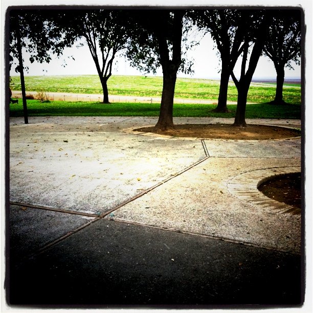
View from the "veranda"

View from a California Rest Area
152 looking south-west
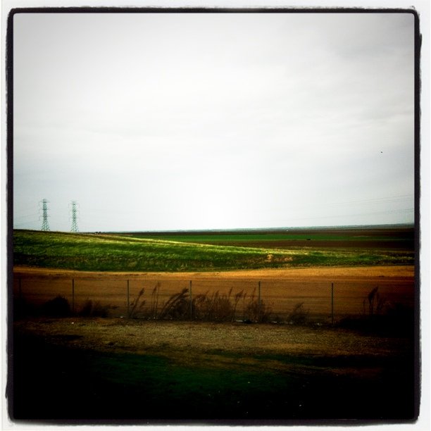
I-5 has it's own aesthetic appeal... mostly horizontal in orientation
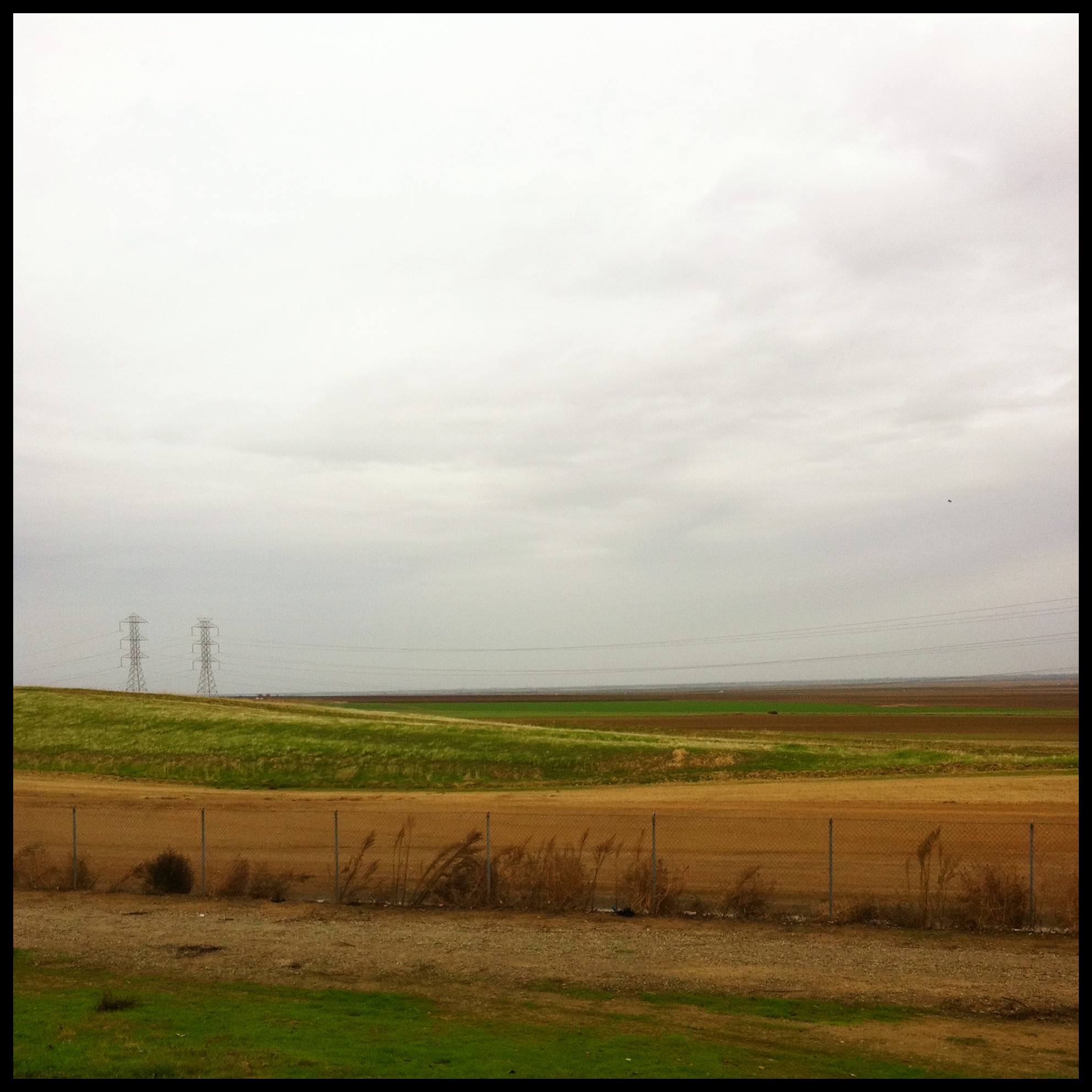
I-5 has it's own aesthetic appeal... mostly horizontal in orientation #2

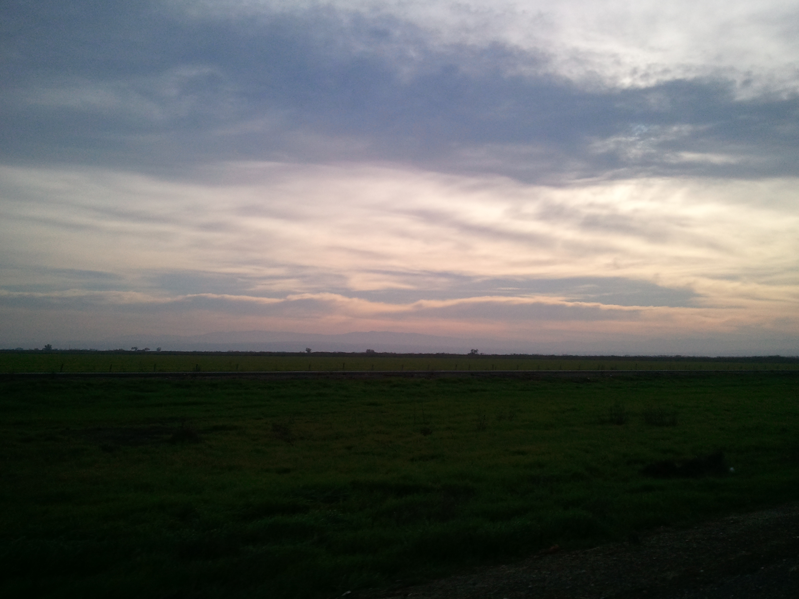
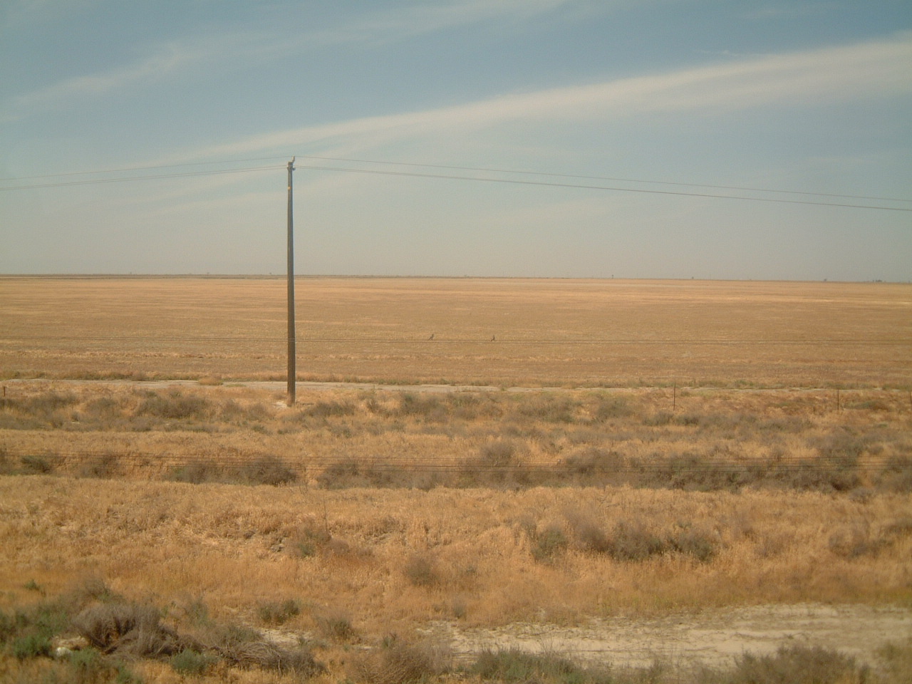
morning on the marsh
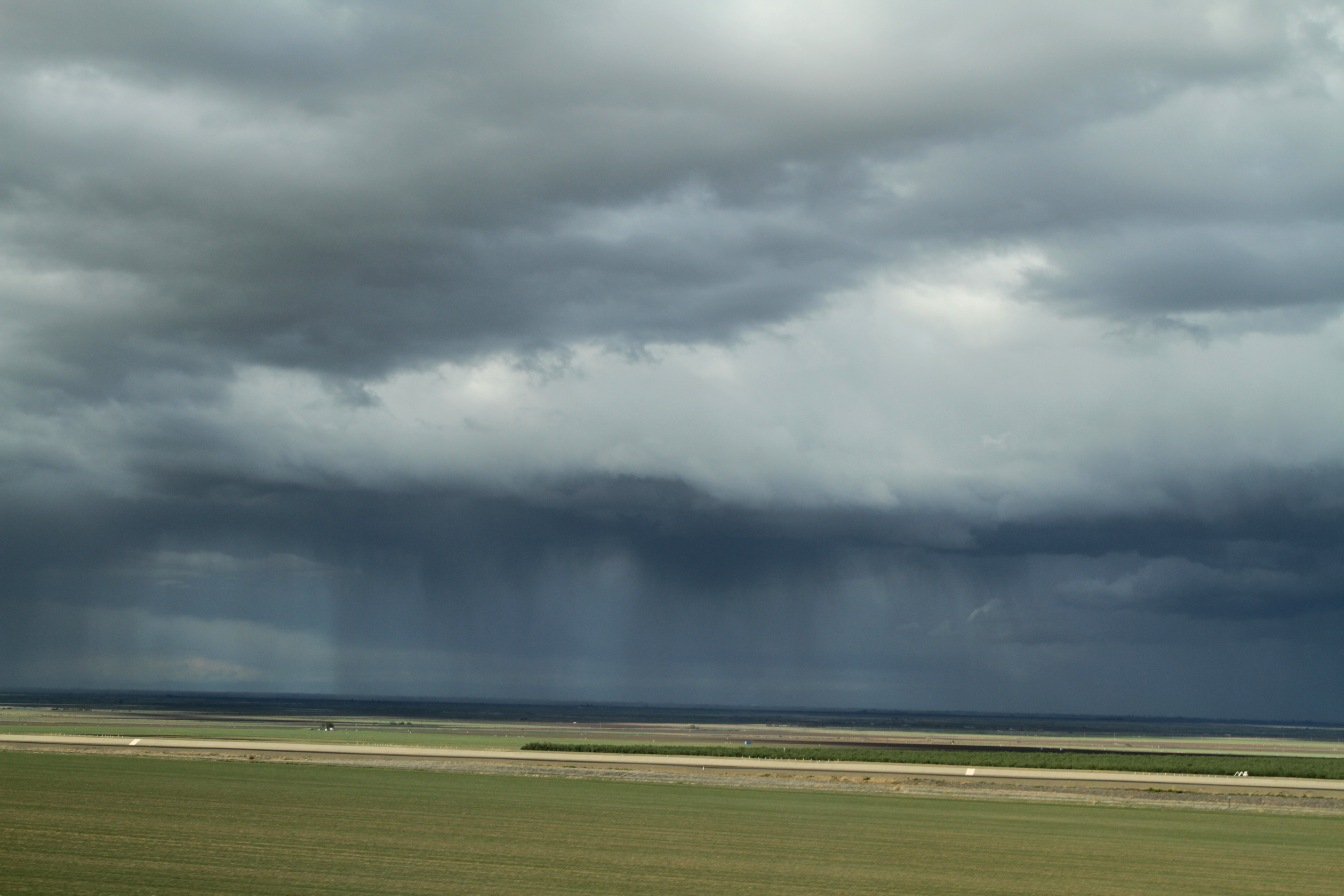
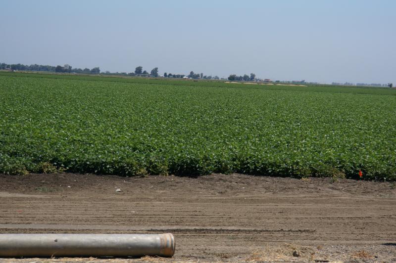
Image 23078.
USA 2013
Amtrak California
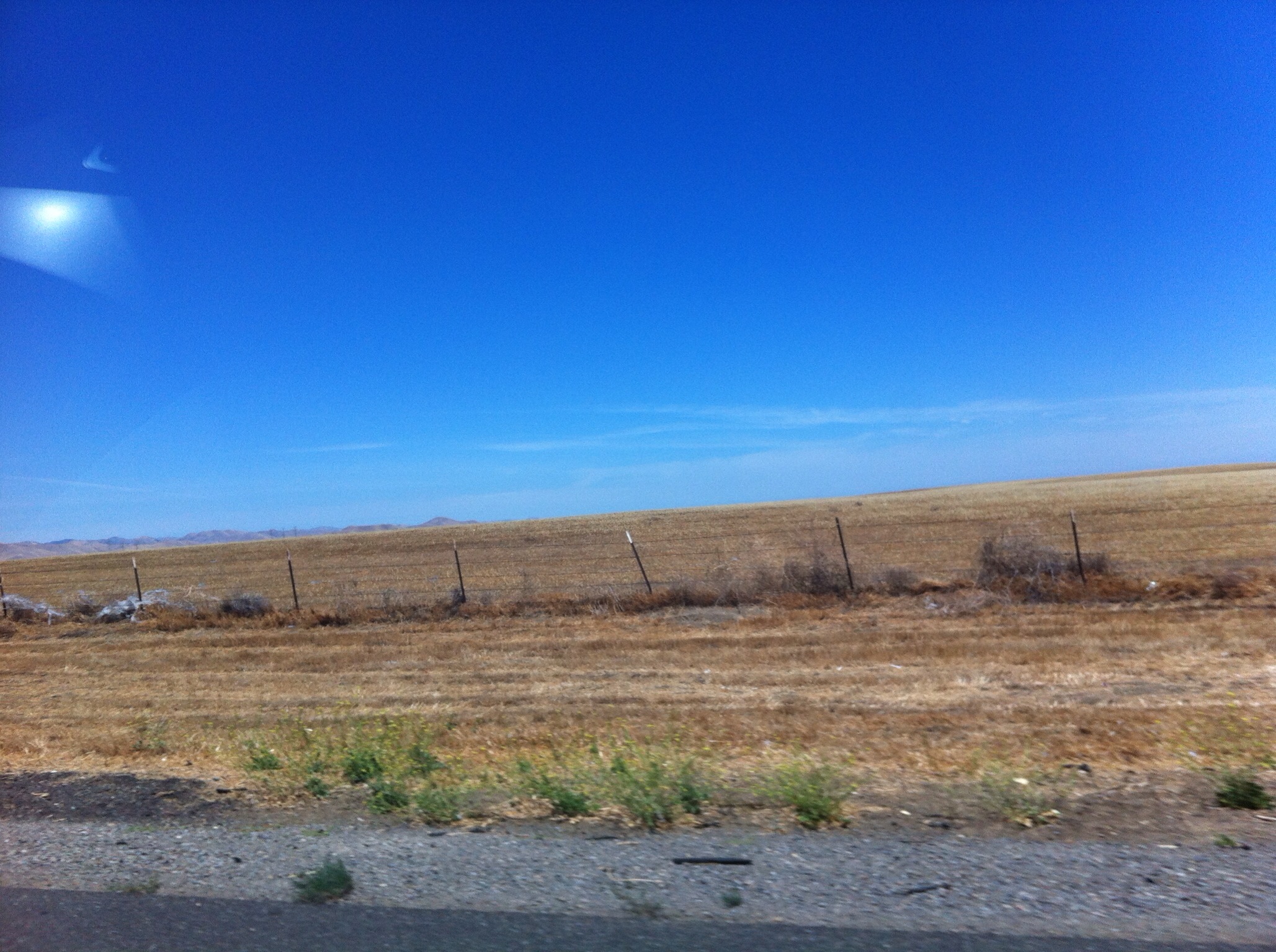
California 2012 07
California 2012 07
Topographic Map of 6th St, South Dos Palos, CA, USA
Find elevation by address:

Places near 6th St, South Dos Palos, CA, USA:
South Dos Palos
16816 Lexington Ave
Dos Palos
1902 Lynn Ave
Britto Rd, Dos Palos, CA, USA
Azusa Ave, Dos Palos, CA, USA
N Dos Palos Rd, Dos Palos, CA, USA
16491 Cotton Rd
W Bullard Ave, Firebaugh, CA, USA
20330 Lincoln Rd
W Belmont Ave, Firebaugh, CA, USA
Los Banos
1037 Peachwood Ct
Firebaugh
Merced National Wildlife Refuge
1350 P St
El Nido
58 E El Nido Rd, El Nido, CA, USA
Brannon Ave, Firebaugh, CA, USA
Merced County
Recent Searches:
- Elevation of Corso Fratelli Cairoli, 35, Macerata MC, Italy
- Elevation of Tallevast Rd, Sarasota, FL, USA
- Elevation of 4th St E, Sonoma, CA, USA
- Elevation of Black Hollow Rd, Pennsdale, PA, USA
- Elevation of Oakland Ave, Williamsport, PA, USA
- Elevation of Pedrógão Grande, Portugal
- Elevation of Klee Dr, Martinsburg, WV, USA
- Elevation of Via Roma, Pieranica CR, Italy
- Elevation of Tavkvetili Mountain, Georgia
- Elevation of Hartfords Bluff Cir, Mt Pleasant, SC, USA